
Believe it or not, I won’t leave us almost home but not quite. We’ve left Kennewick and the Blue Bridge, and now are continuing to head south on Hwy 395, then on to Highway 82 towards Umatilla.
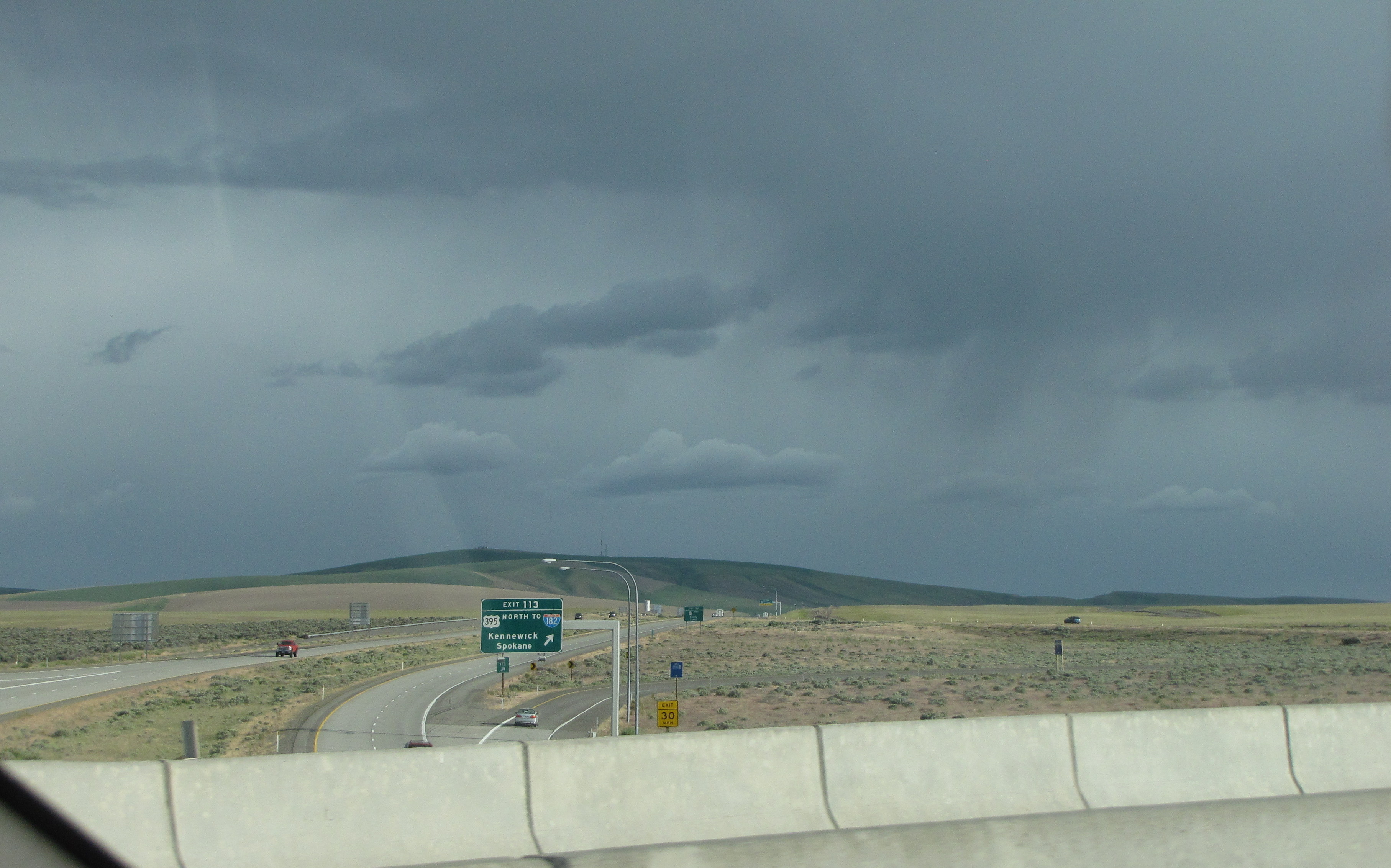
The highway stretched out in front of us; I thought the clouds were really pretty, and I liked the contrast between them and the light pavement.

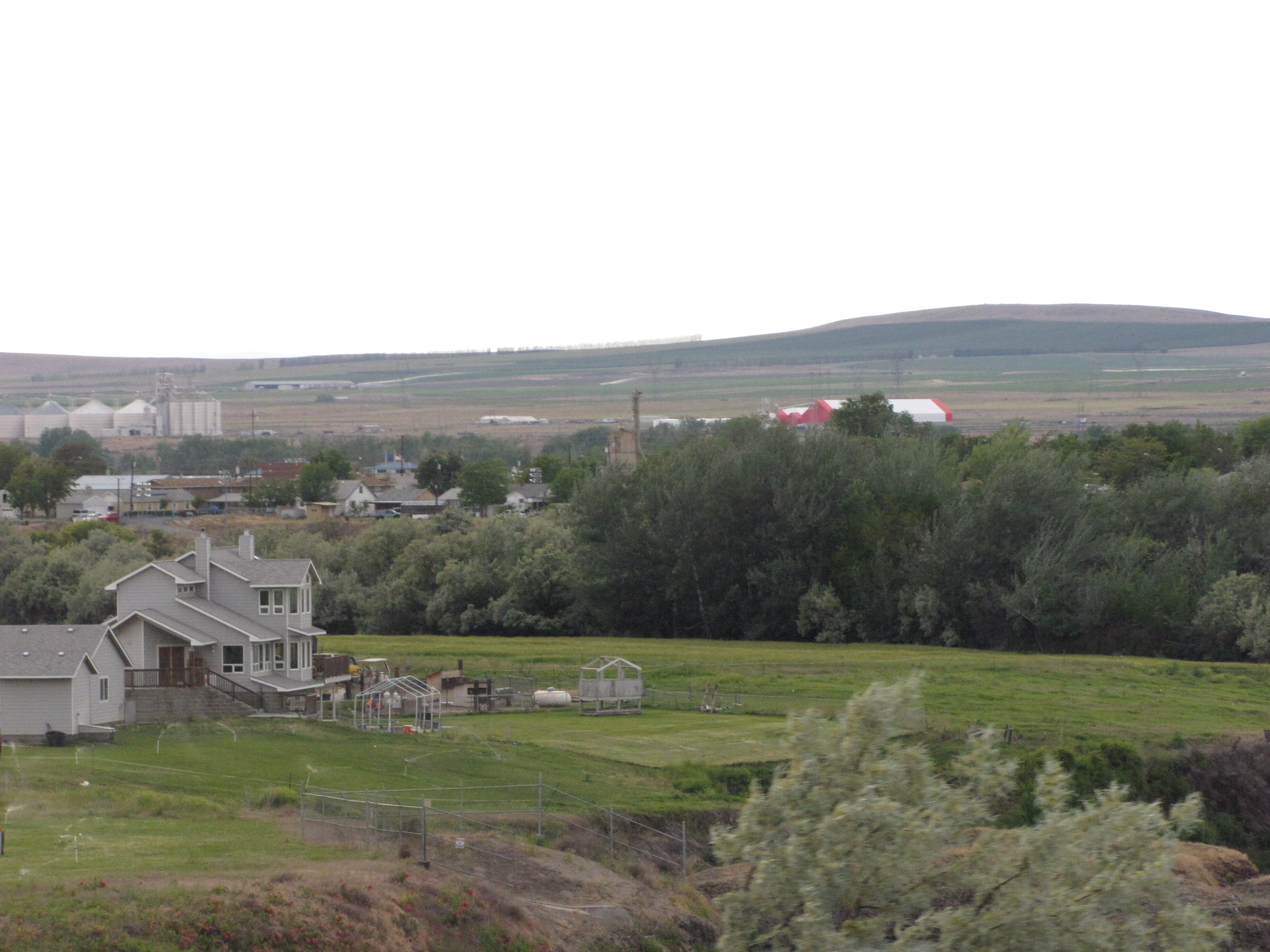
Still get plenny wind turbines; and can you see that rusty old tank in the field?

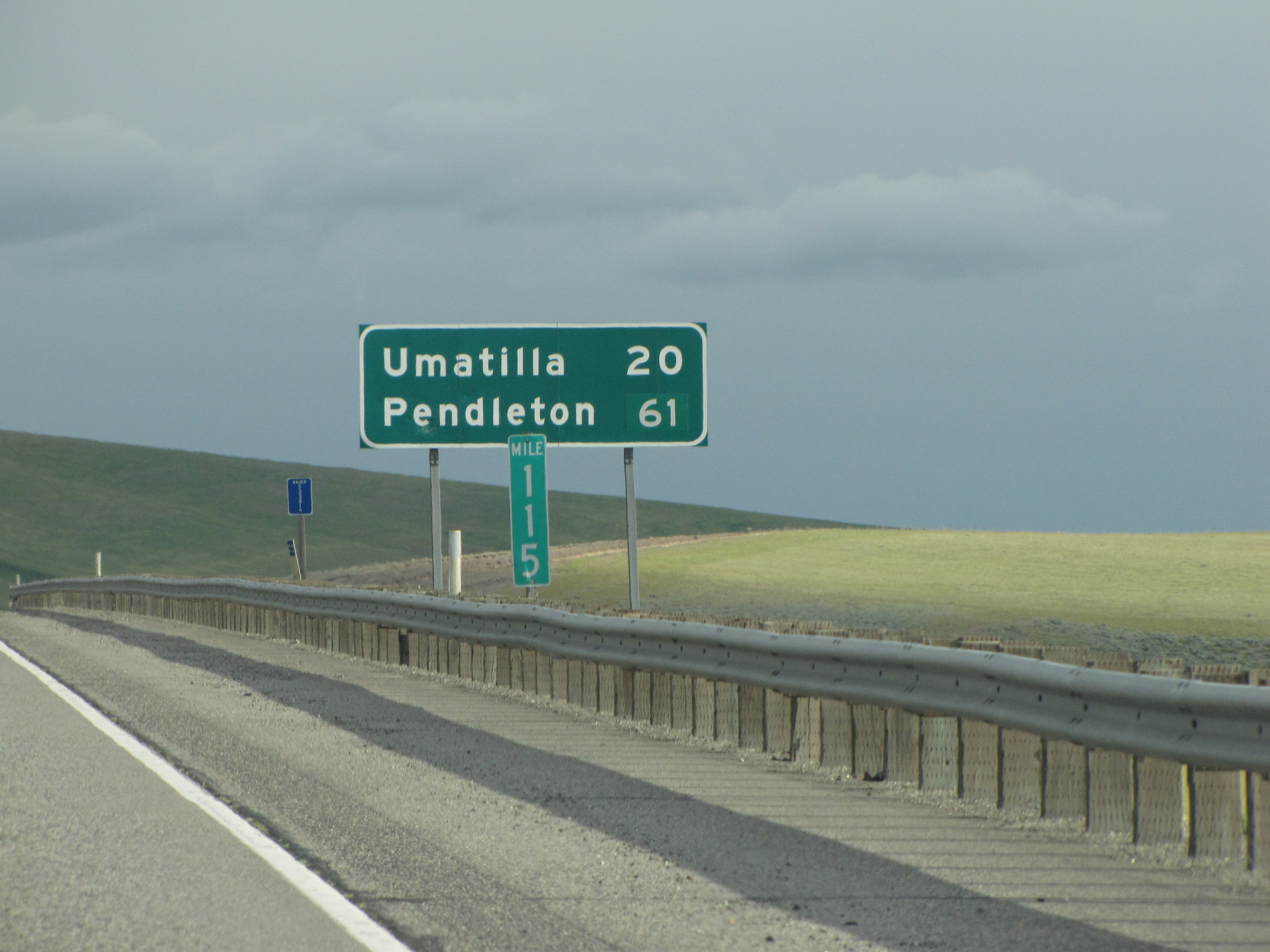
Oregon is getting closer!
Travelling when we do (well, as we did before the pandemic), never during the summer, we rarely run into choke traffic.
Here’s a video we took as we were driving. We thought the clouds were pretty cool.
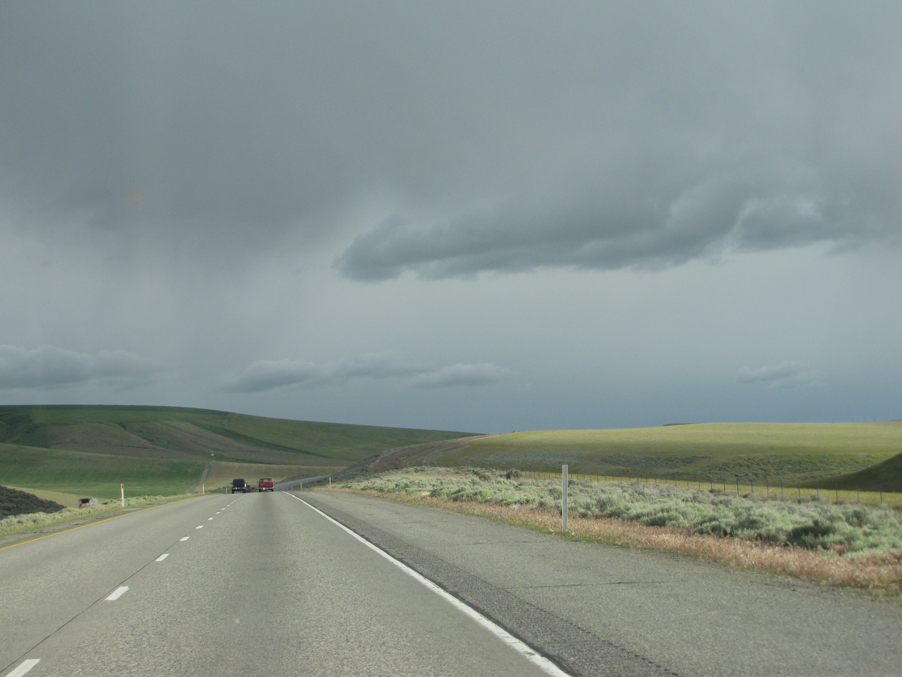
I know I say this a lot, but I do love seeing the rolling hills when we travel this way. And I also love the vast vistas that this country provides. And check out the sagebrush! I bet in the fall there’s lots of tumbleweeds here.

One time I went to a conference in Coeur d’Alene, Idaho, in September. Tumbleweeds were blowing all over, and the friend who was riding with me had me stop so that she could get a couple of them and put them in the back of my van. When we got home, she put twinkly lights throughout them and put them on her front porch. They looked pretty darn neat!

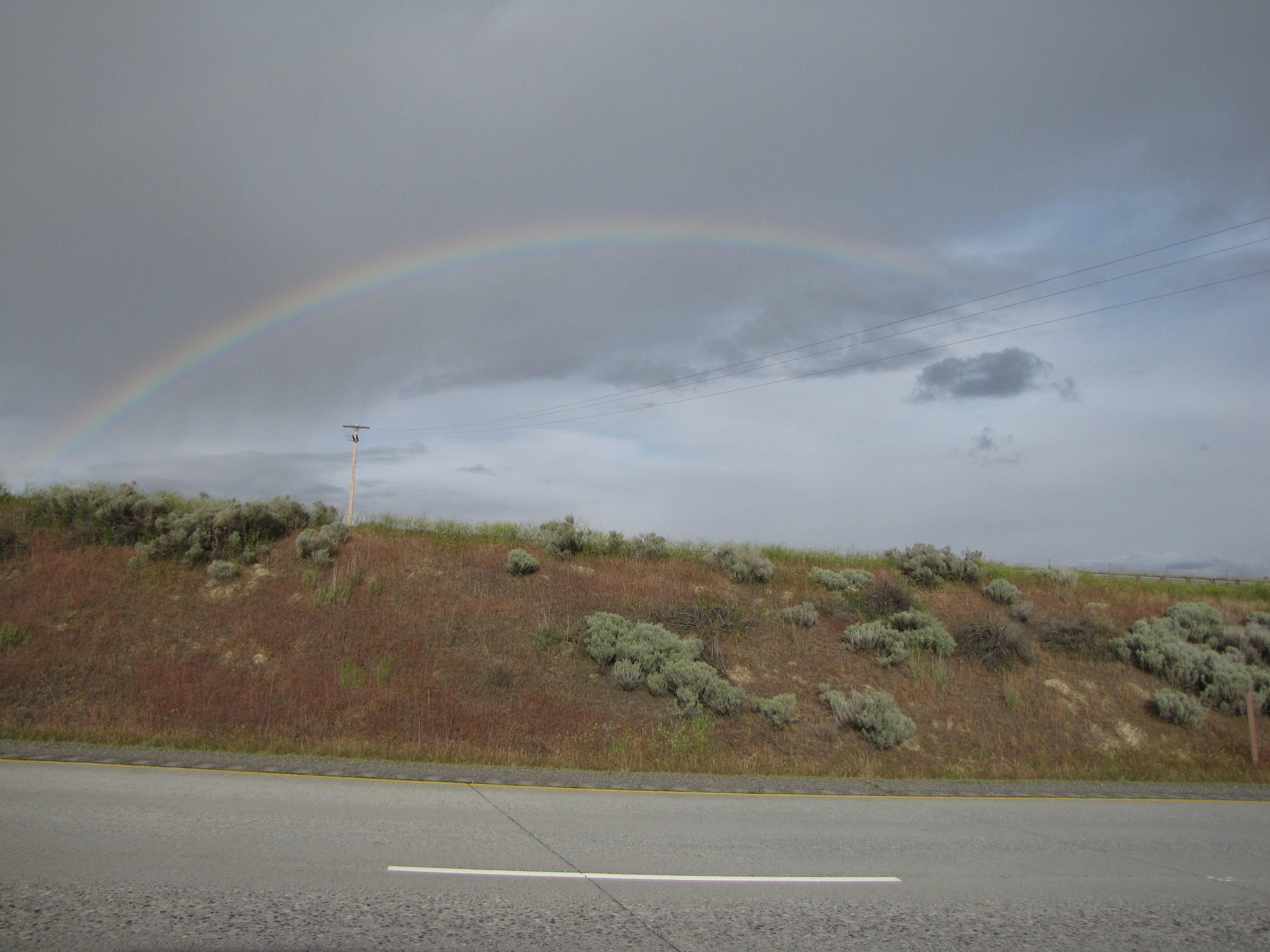
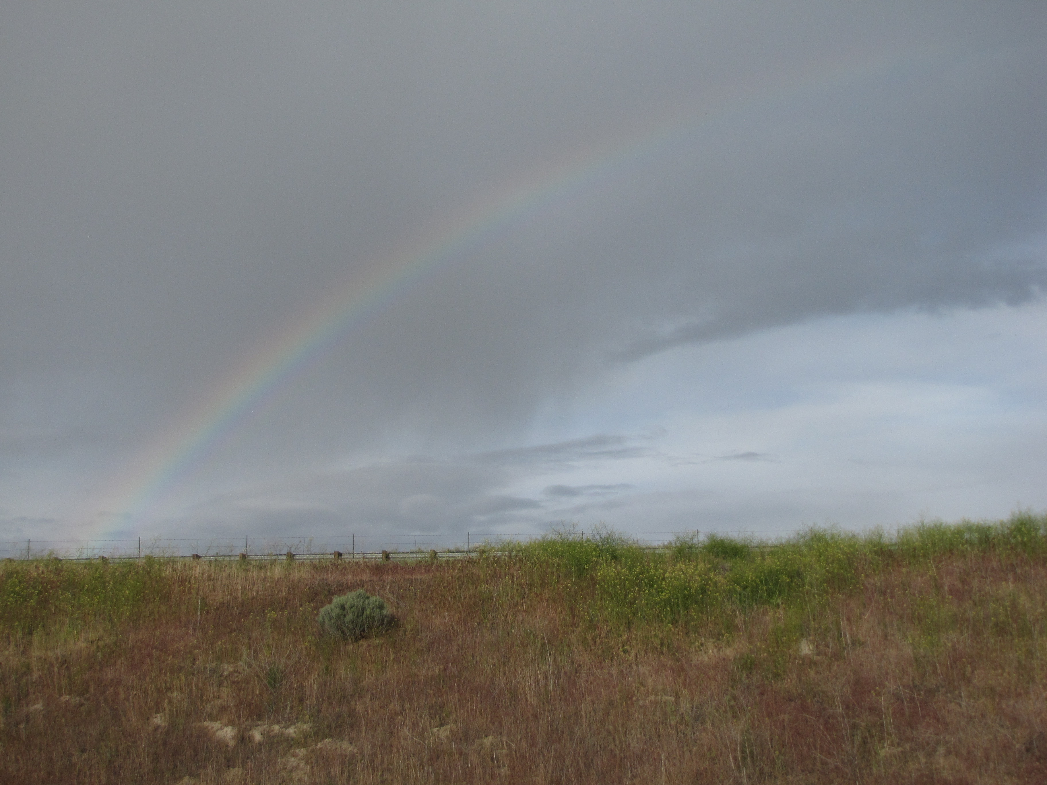
Try look da ʻānuenue!!

It was so pretty, and so big… and so wonderful to see in the midst of gray skies.
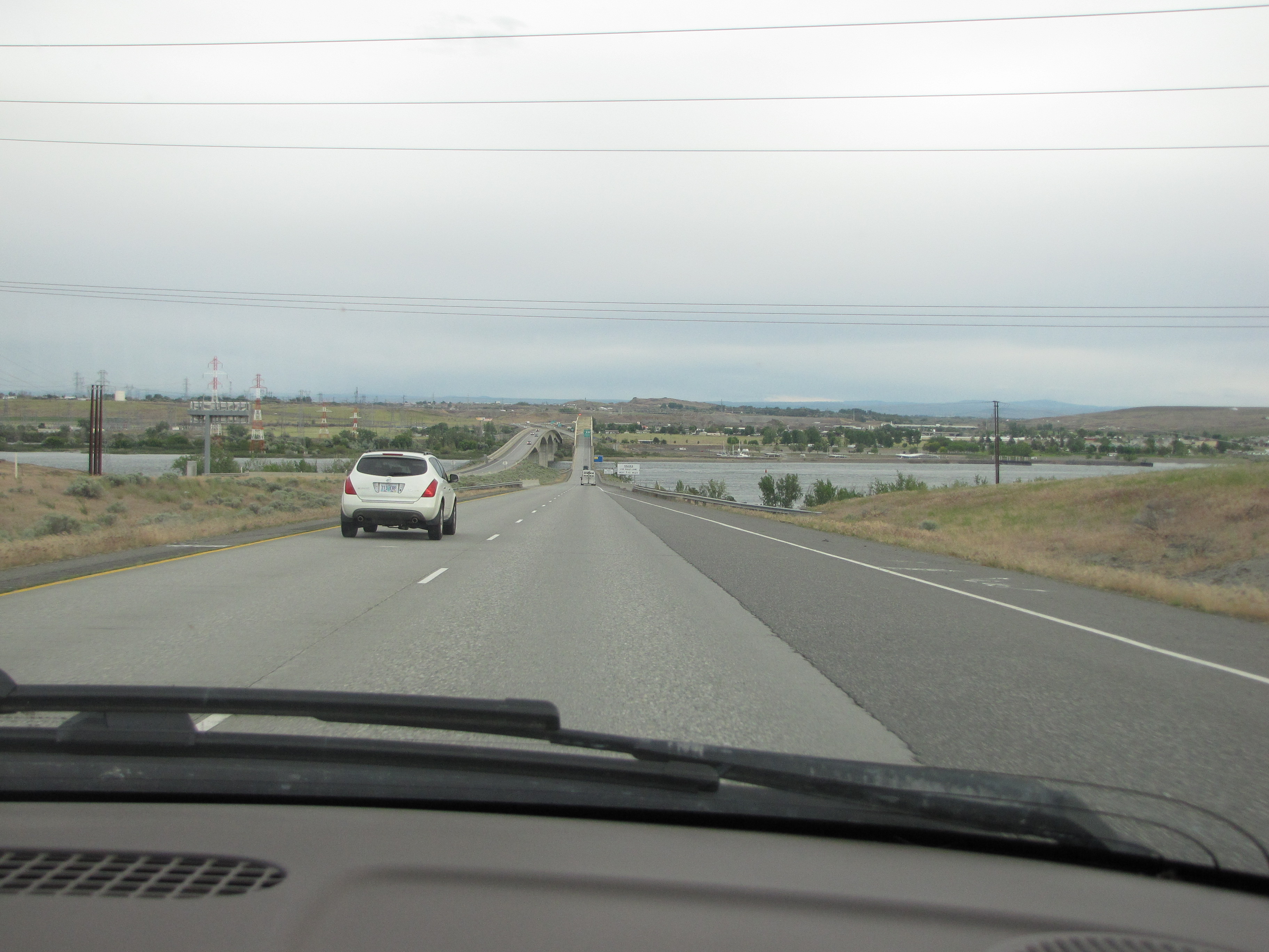
We’re getting closer to Oregon.

We could’ve taken State Highway 14 along the Washington side of the river, but it would’ve been slower going, and by now we were getting anxious to be home. Can you see the wind turbines and crop circles?

Here we are, about to cross the Columbia River into Oregon!

It sure is ‘way easier to cross now than it was for the pioneers, that’s for sure.

And of course, the river is much tamer than it used to be.
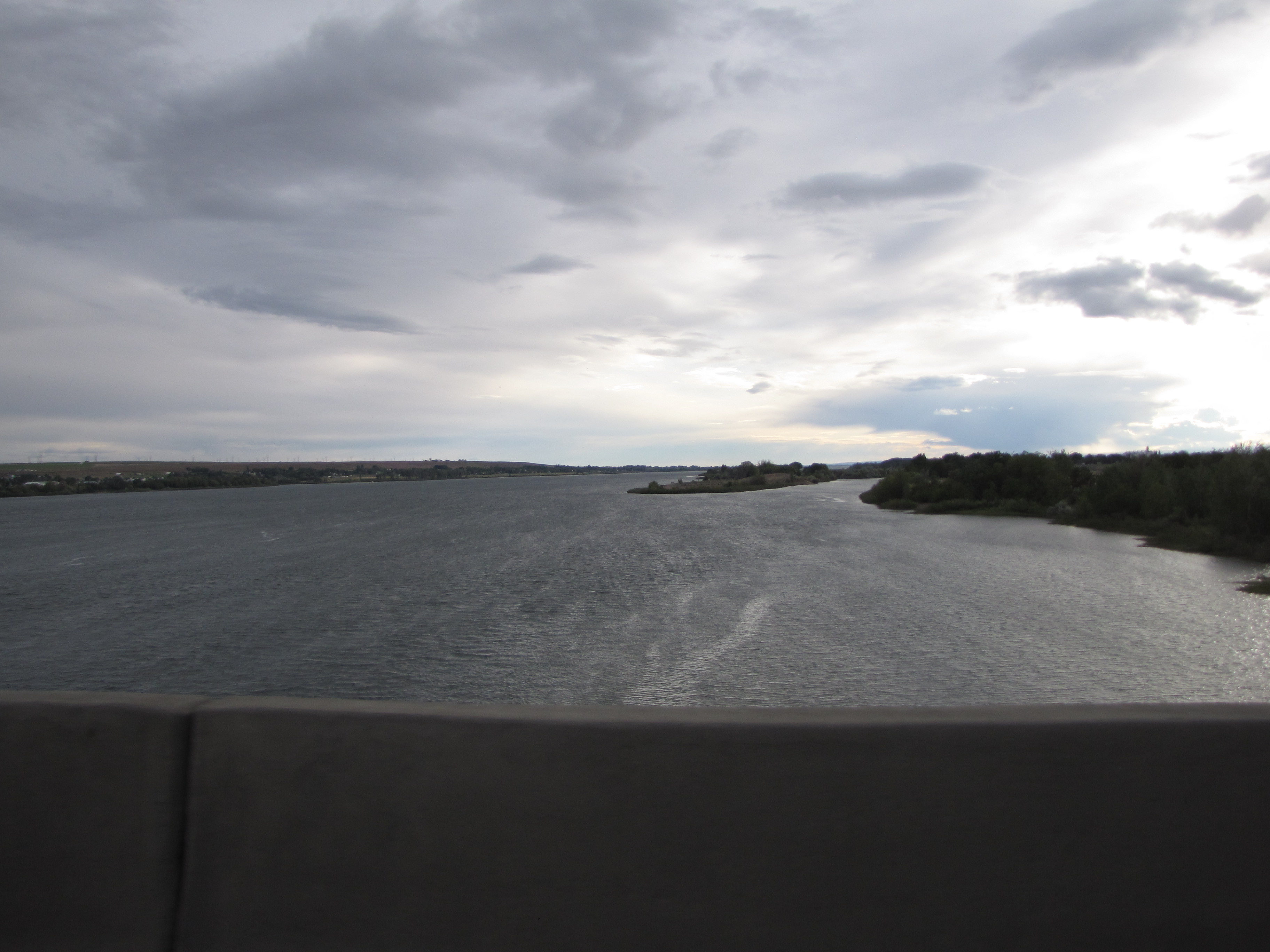
Looking makai towards home. The dividing line between Oregon and Washington is in the middle of this mighty river.

Over the bridge we go.

And…

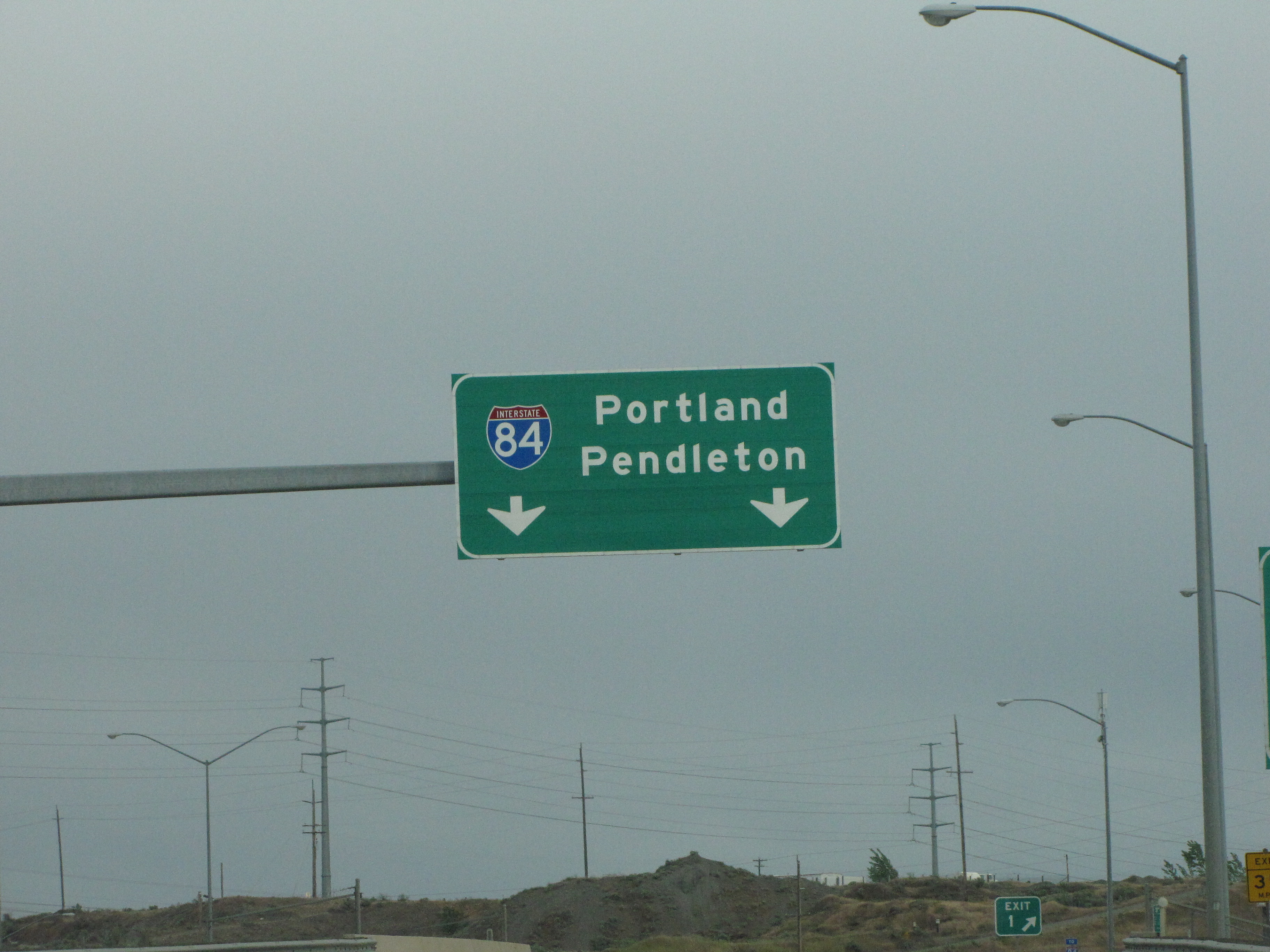
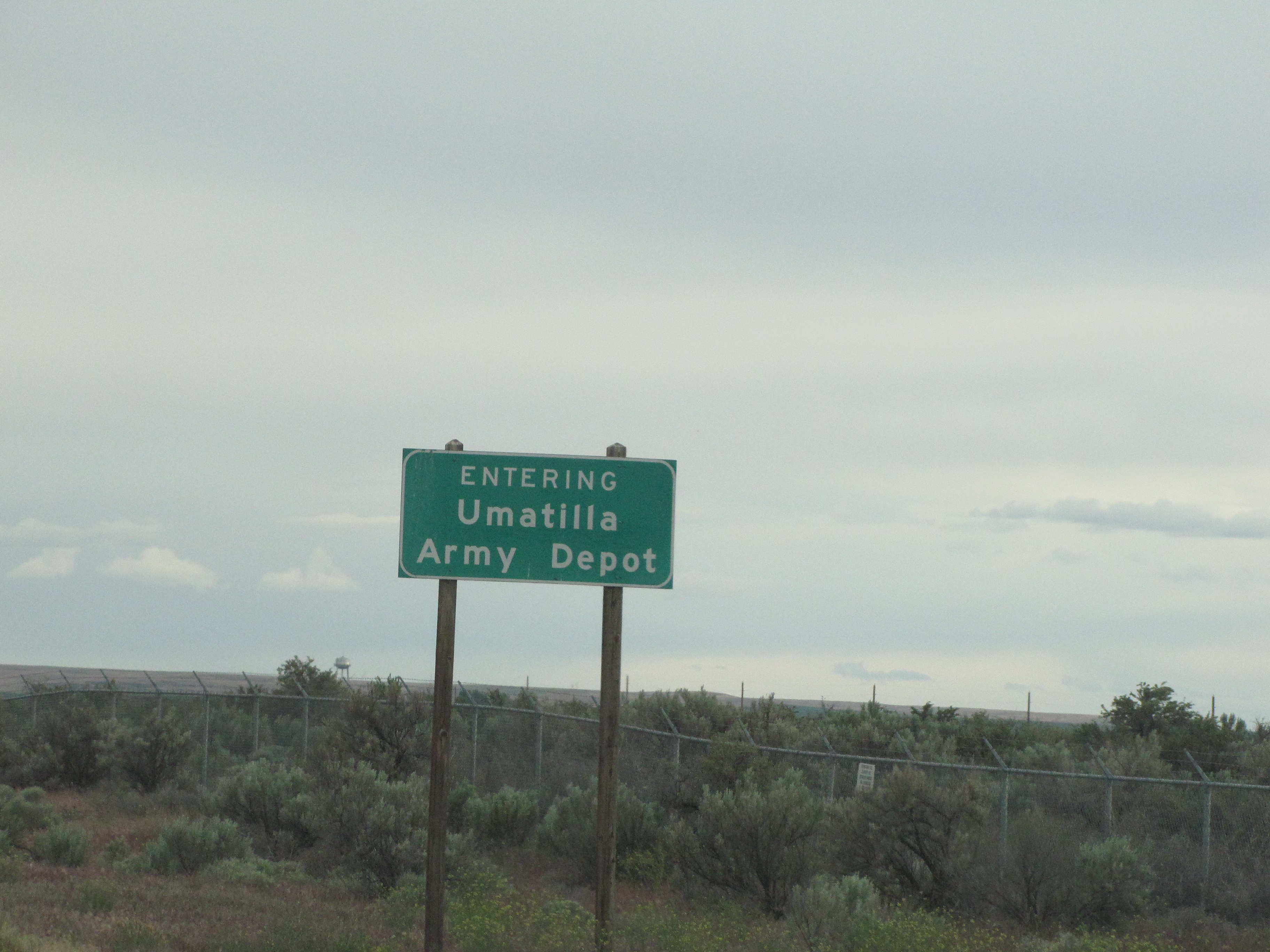
Shortly after we went across the Columbia River, saw this sign:
Anden we crossed the Umatilla River.

Civilization!
Can you see the crop circles ‘way over there on the left?

Here’s an aerial map of the crop circles. Get choke!
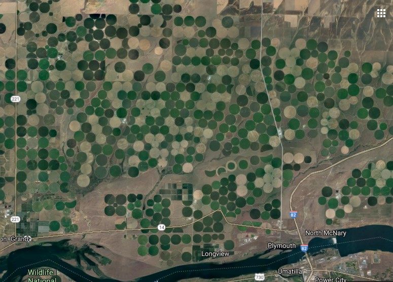
Eight more miles and we’ll be heading makai on I-84.

I’m not sure I would want to live near here. It’s too close to a munitions depot. You can read about it here.
And here we go, starting the last leg of our journey.

We’ve made a complete circle from makai to east to north and east again, and now back to makai.


And we’re still not home, so there’s gonna be another chapter to this long road trip of a lifetime! And I have a cool surprise for you, too.

I *love* seeing those crop circles from an aerial perspective. And you’ve given me an idea for an art project . . .
I never get tired of riding along with you. And seeing rainbows! Thanks Moki-chan.
I love having you ride shotgun! Be sure and let me know about your art project…I’m really interested to know how it turns out.