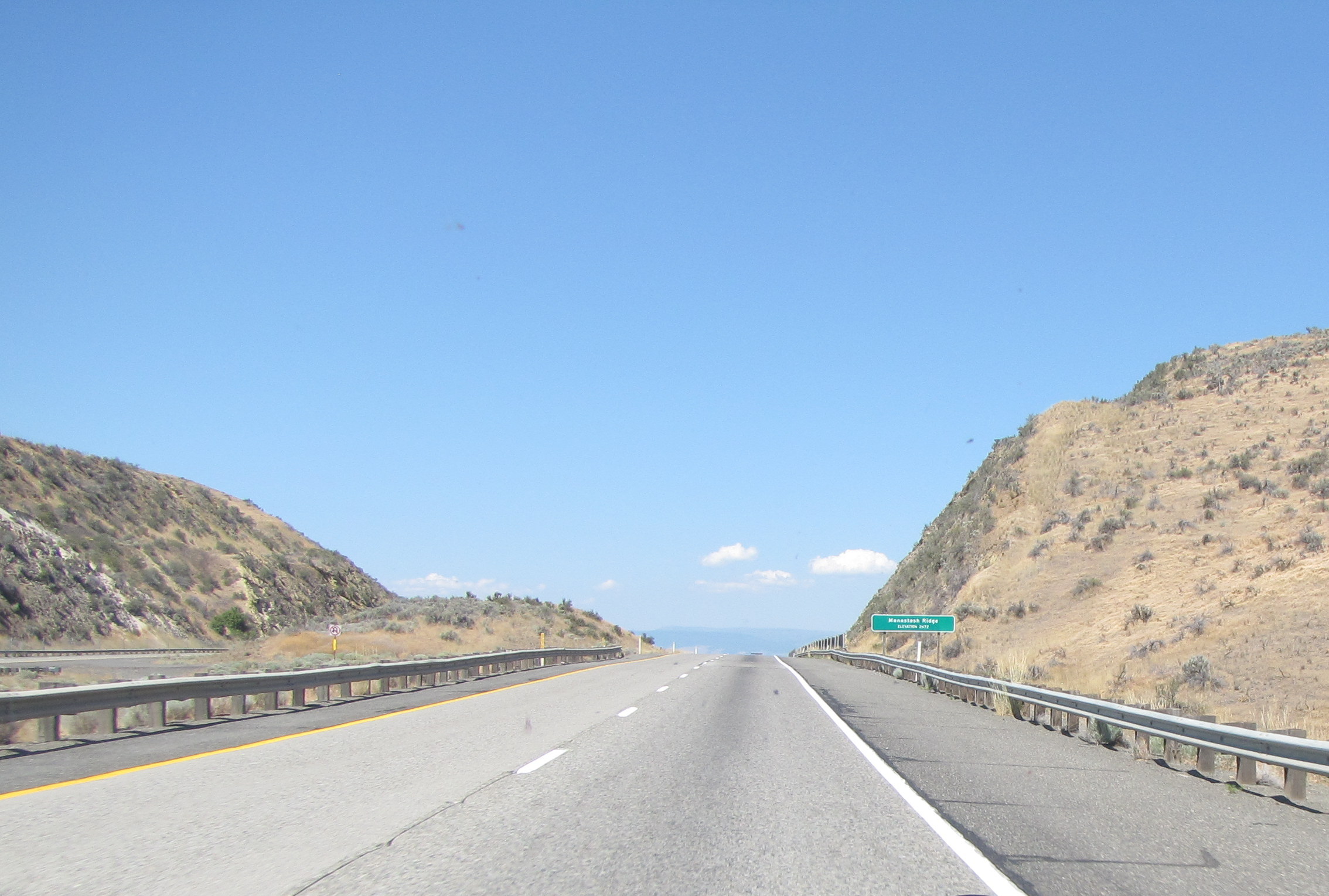
We start this chapter at Manastash Ridge. If you’re a hiker, it seems like a good place to land if it’s not too hot.
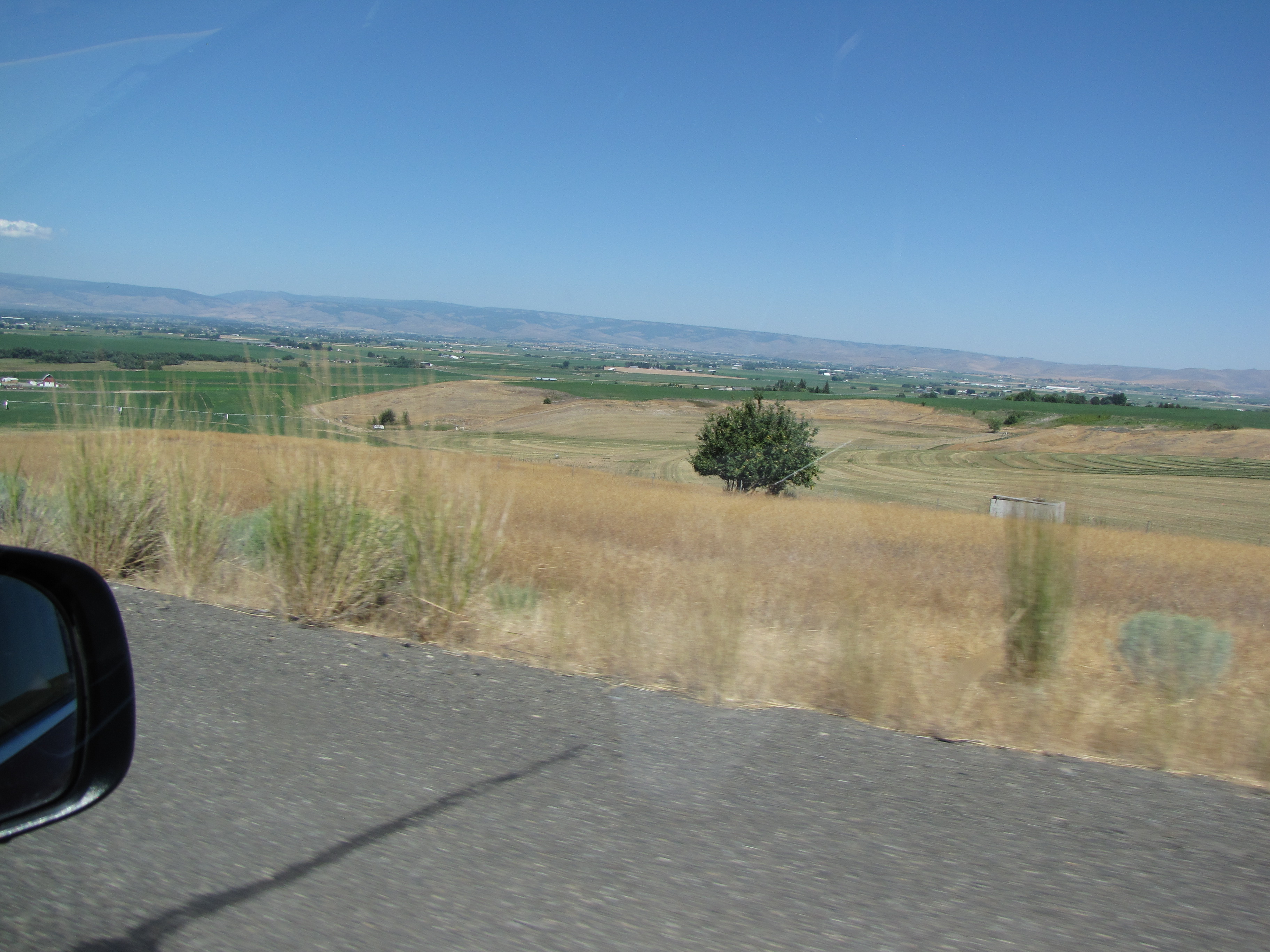
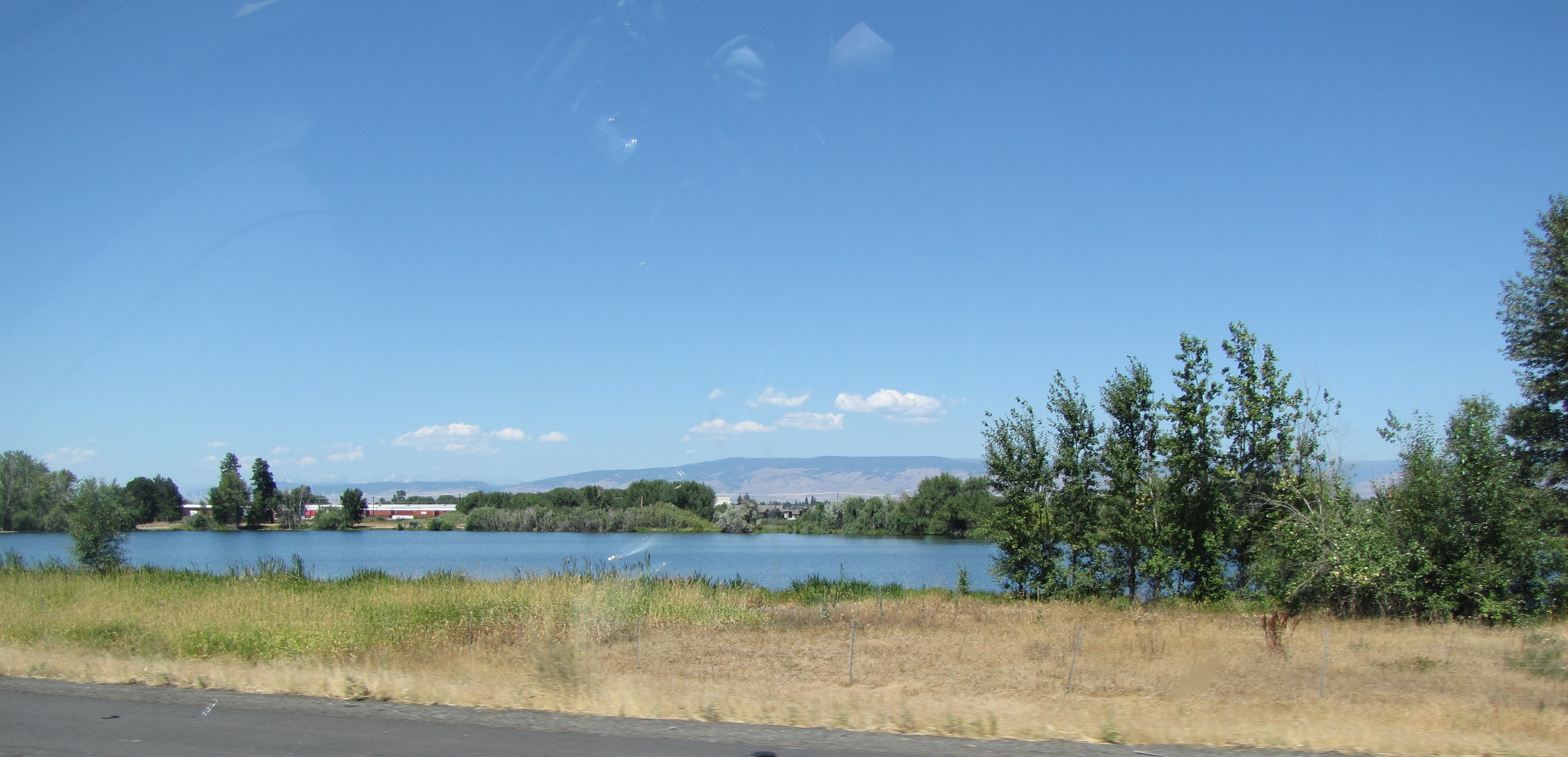
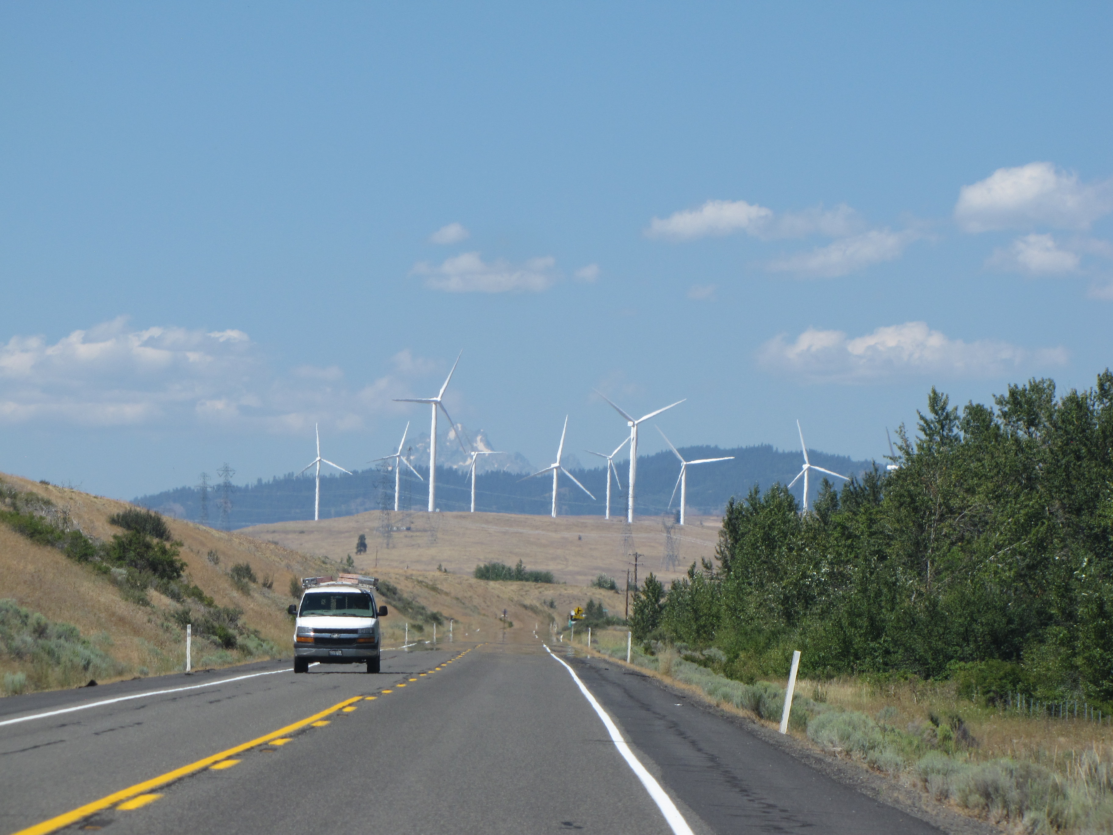
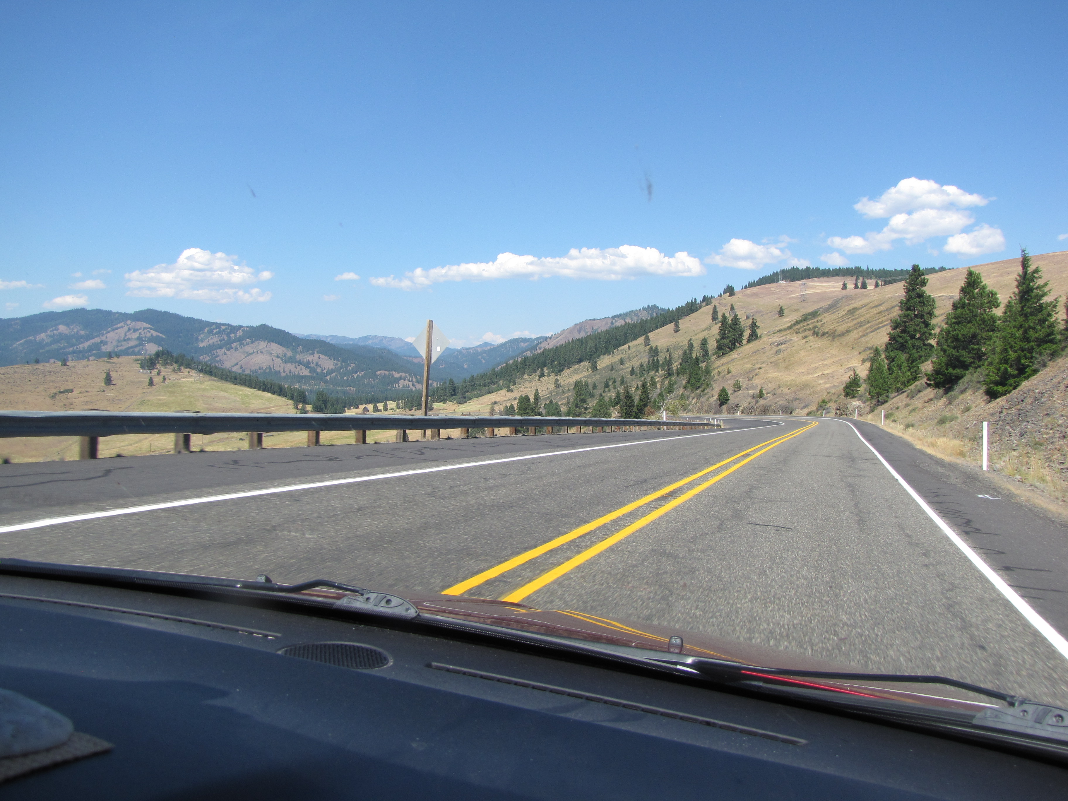
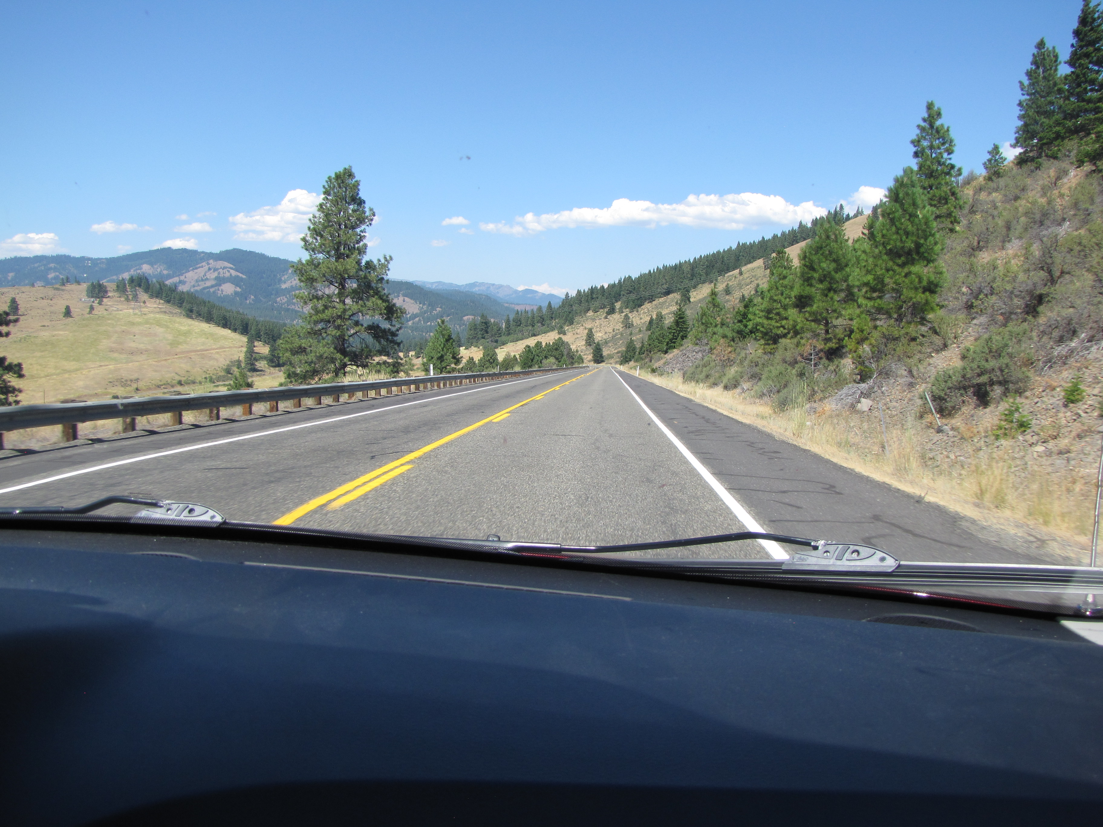
Manastash Ridge Elevation 2672Ellensburg appears down below and ahead of us and we start heading downhill.I’ve seen some Google photos where everything to the right is covered with fog; I’m glad it was clear today.It was wonderful seeing all the green after all the barren views we’d been driving through.I think this was Mattoon Lake just outside Ellensburg.Silver alert. We saw several of these signs around Ellensburg both coming and going. Stolen cars warning.We were trying to find a coffee shop where we could change into our wedding clothes, but saw this first so decided to stop here. I was really getting antsy about the time. The bathrooms were clean, and we were in and out of there in less than ten minutes.Another friend who knows the area told me how windy it gets here; that Ellensburg is a really nice town, but the wind is fierce. I could believe it, seeing all these wind turbines!There were more after every corner we turned.Our own little spinner was still hanging on bravely.It was looking a little less barren here, just outside Ellensburg. We were climbing into the mountains, too. We’re still on Highway 97; the elevation here was 2646′, I think, and it was 2:20 pm. We were aiming to get to the wedding venue by 3:30; the wedding was to start at 4:30 but we wanted to get there plenty early to have time to visit with ʻohama.Barn!! Nolemana managed to take the photo even though we were going 55 mph.Wenatchee right turn – 1/2 mileCle Elum/Seattle West, Wenatchee East. We’re heading north. And then onto the next chapter!
Born and raised Hawaiʻi girl who misses home and loves the Pacific Northwest. I’m a free spirit and love the serendipitous events that bring people and places together.
My philosophy about knitting and life in general:
“It is good to have an end to journey toward,but it is the journey that matters in the end.”Ursula K. Le Guin