
Last time, ‘way last time, like last December, we’d just driven into the city of Lewiston, Idaho, after winding our way down the Old Spiral Highway. What a trip that was! And now, we are about to head down towards the Palouse country once again.
Here we go, heading west from Lewiston towards Clarkston.
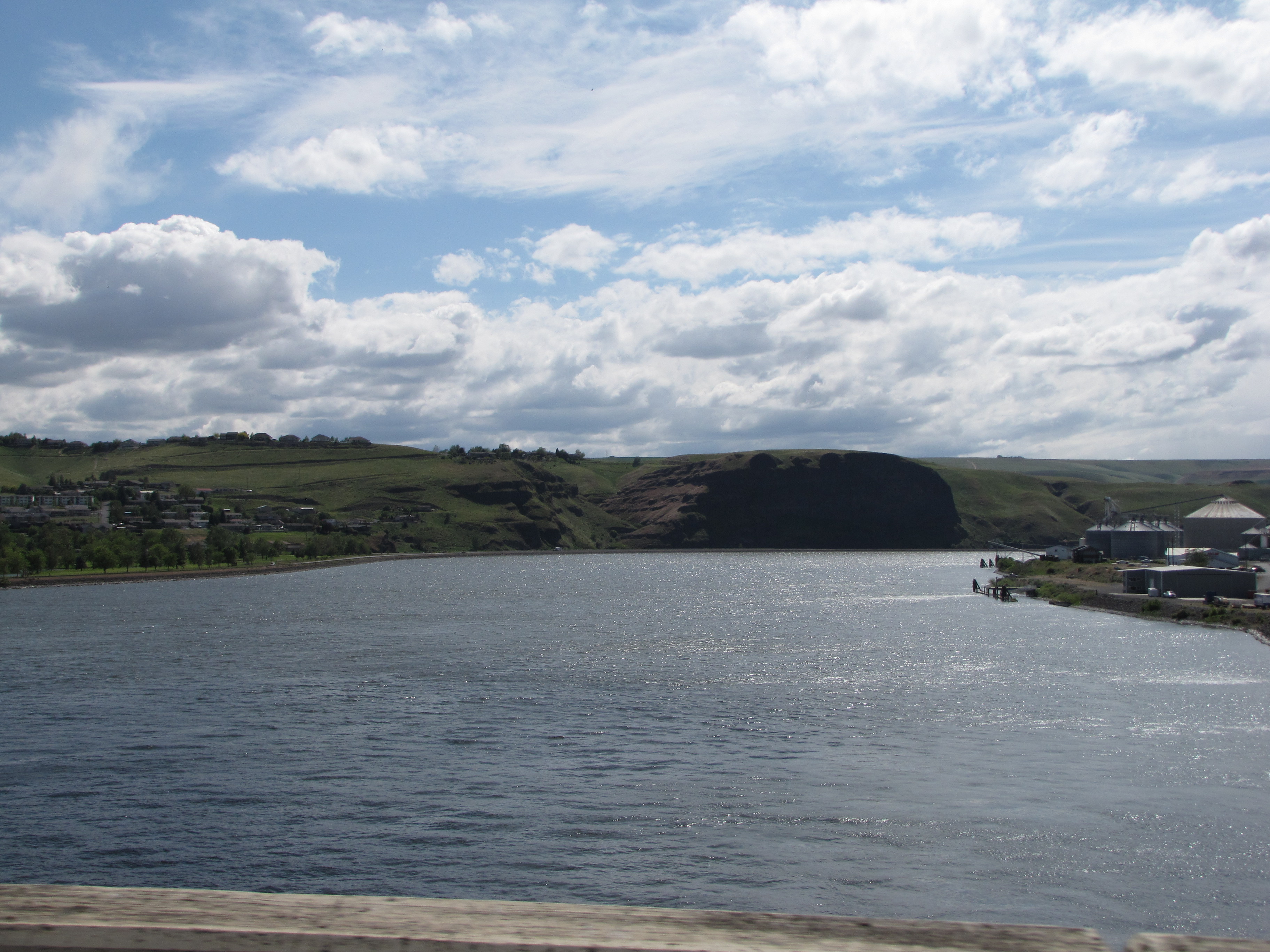
Down there? That’s the Snake River.
This is on the north side of the river before we crossed it; and already we were back into Washington State.

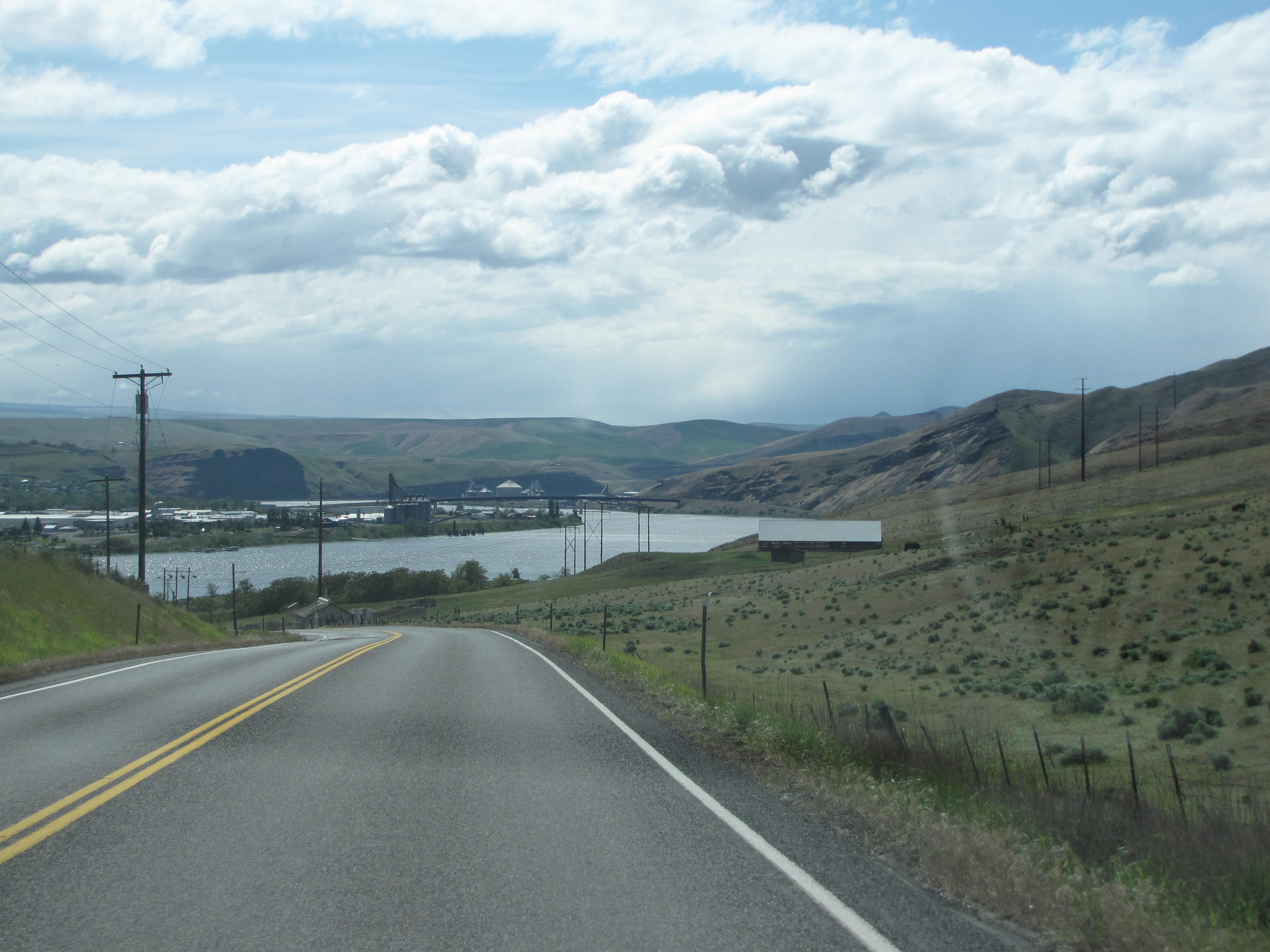
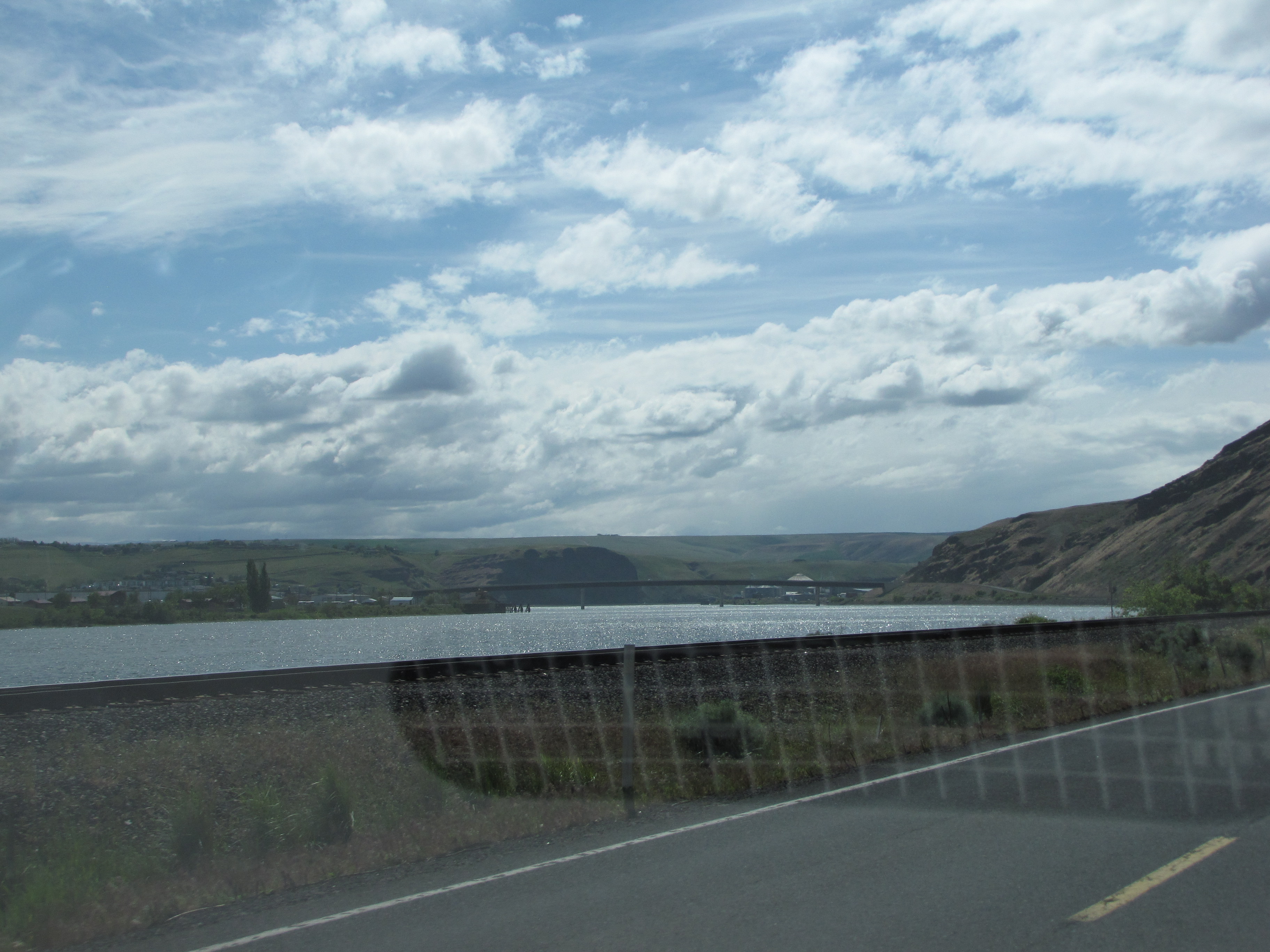
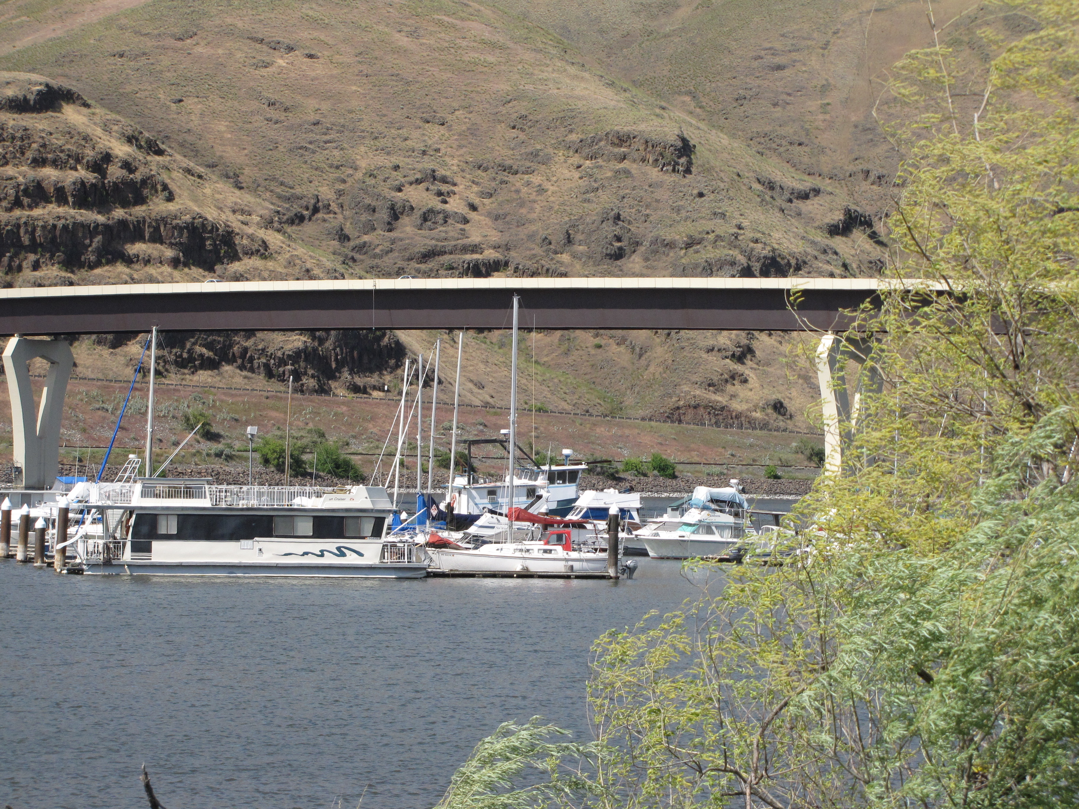
We’re just about to cross the Snake onto Highway 12 towards the Palouse. See the bridge in the distance?
Here it is up close.

This is just before we cross.
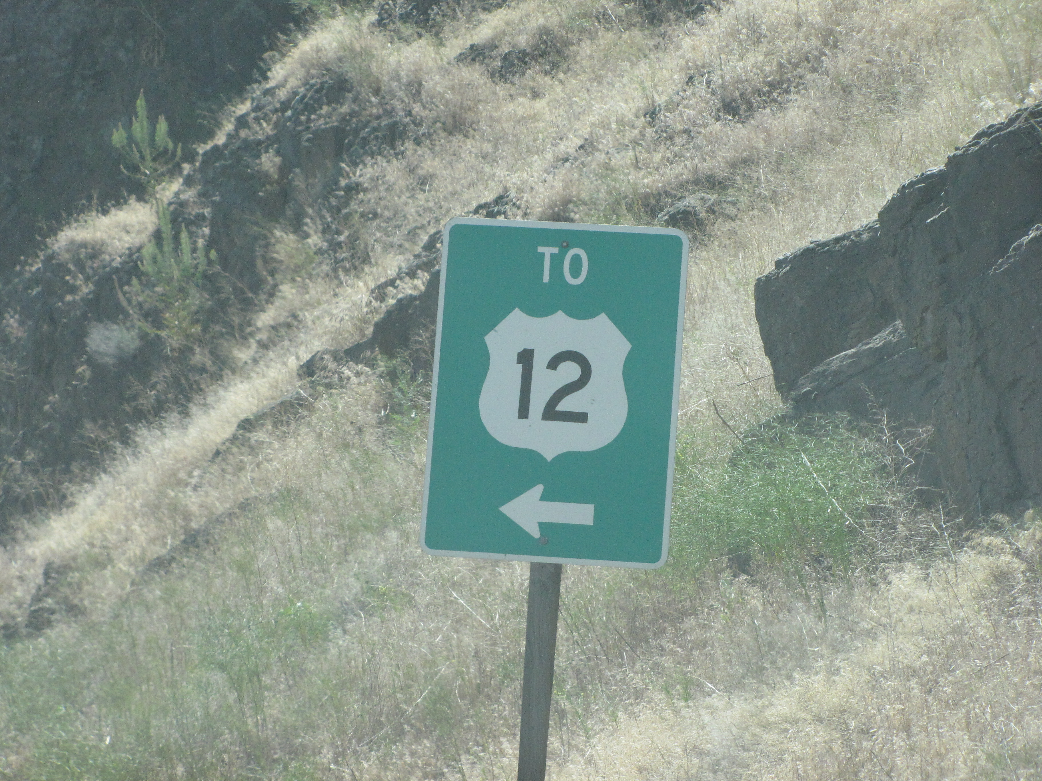
We could’ve turned left and gone back to Montana, but we needed to get home.

I love the name of the bridge!
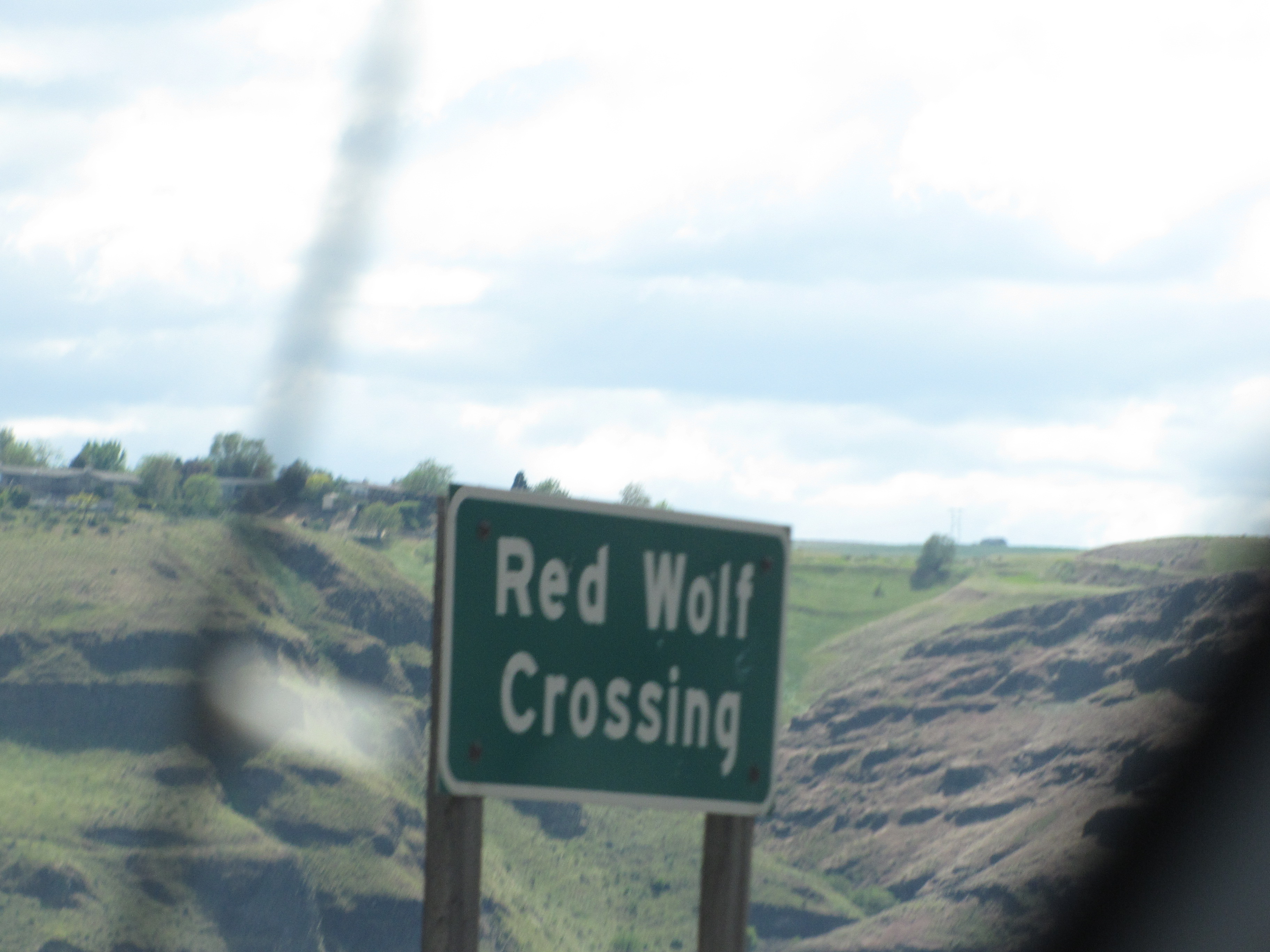
Here’s some cool information about the bridge:
Red Wolf Crossing connects the ports of Wilma and Clarkston. It is located immediately downstream of the confluence of the Snake and Clearwater rivers. Its continuous plate girder and distinctive concrete piers make it a landmark in the Lewiston/Clarkston valley.
The bridge crosses over the slack water reservoir behind Lower Granite Dam, the highest and furthest inland navigable dam on the Columbia/Snake River System. Tugboats and barges transport millions of tons of grain 550 miles to the ports of Vancouver and Portland. The bridge has a high clearance to accommodate this river traffic.
This information comes from a wonderful website, BridgeHunter.com. There’s lots more information about the bridge ova dea, and well worth reading.
Over we go. We’ve crossed the Snake River countless times over the years. When we lived in Idaho we’d cross it over Perrine Bridge to go north into the Sun Valley area, or toward Redfish Lake. We even used to hike down its walls to go fishing at Devil’s Punchbowl near the town of Twin Falls. We’d have barbecues next to it at Shoshone Falls, and watch its majesty as it fell over the Twin Falls waterfalls. I thought about all that as we made the crossing this time.
I wondered what it’d be like sailing in this area. Nothing like when I used to sail around Leʻahi (Diamond Head) with my dad, but I bet it’d be wonderful.
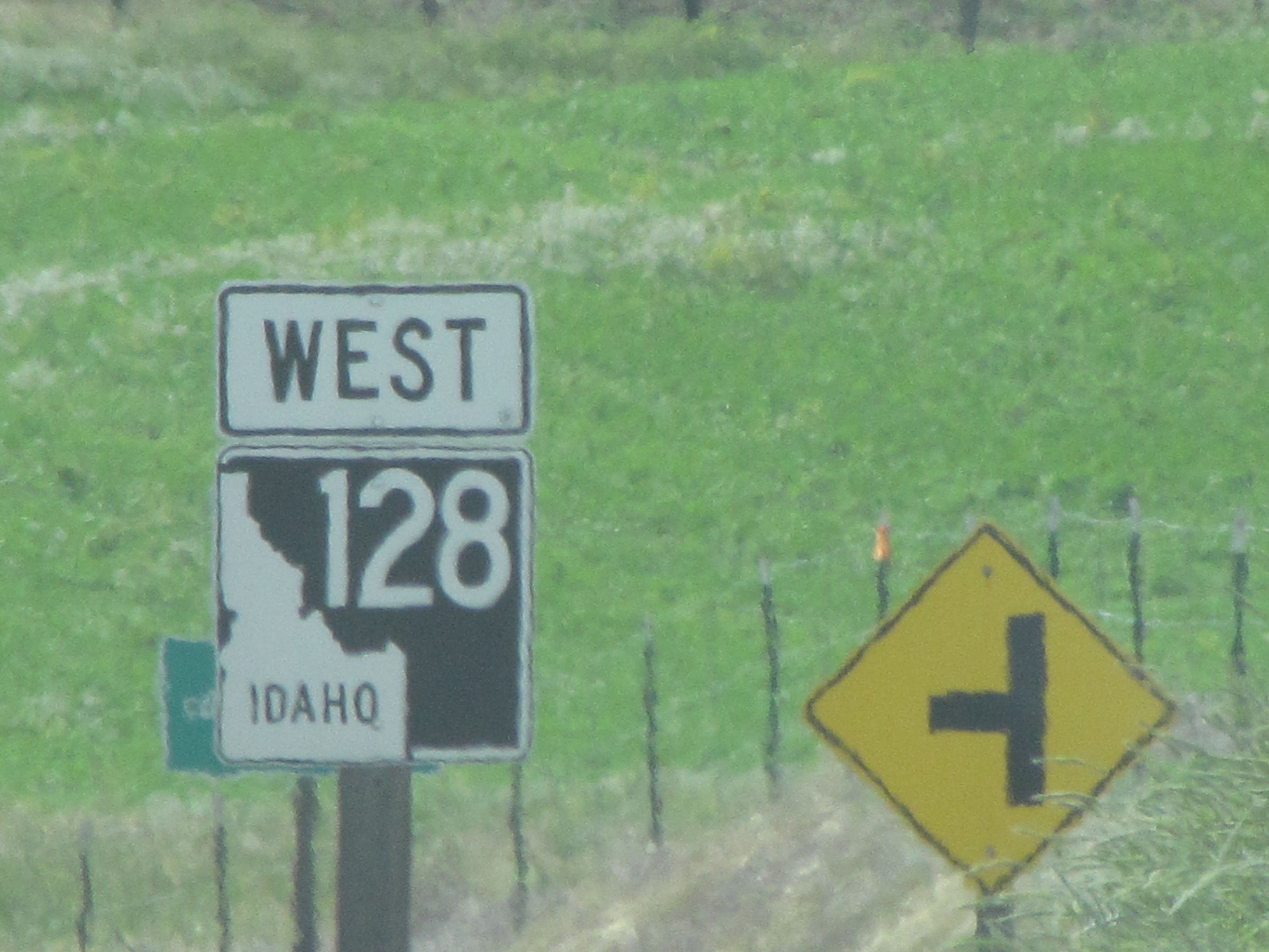
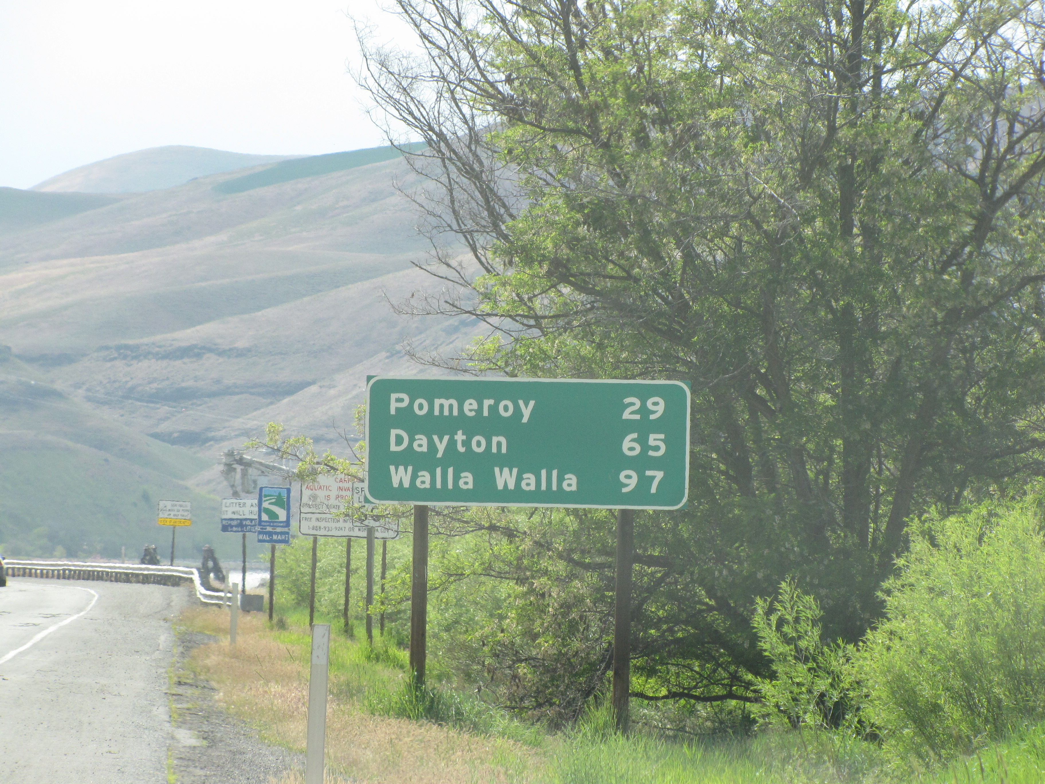
Home is seeming closer as we go along. Well, sheesh, it is getting closer, Mokihana. We’re heading towards Walla Walla again.
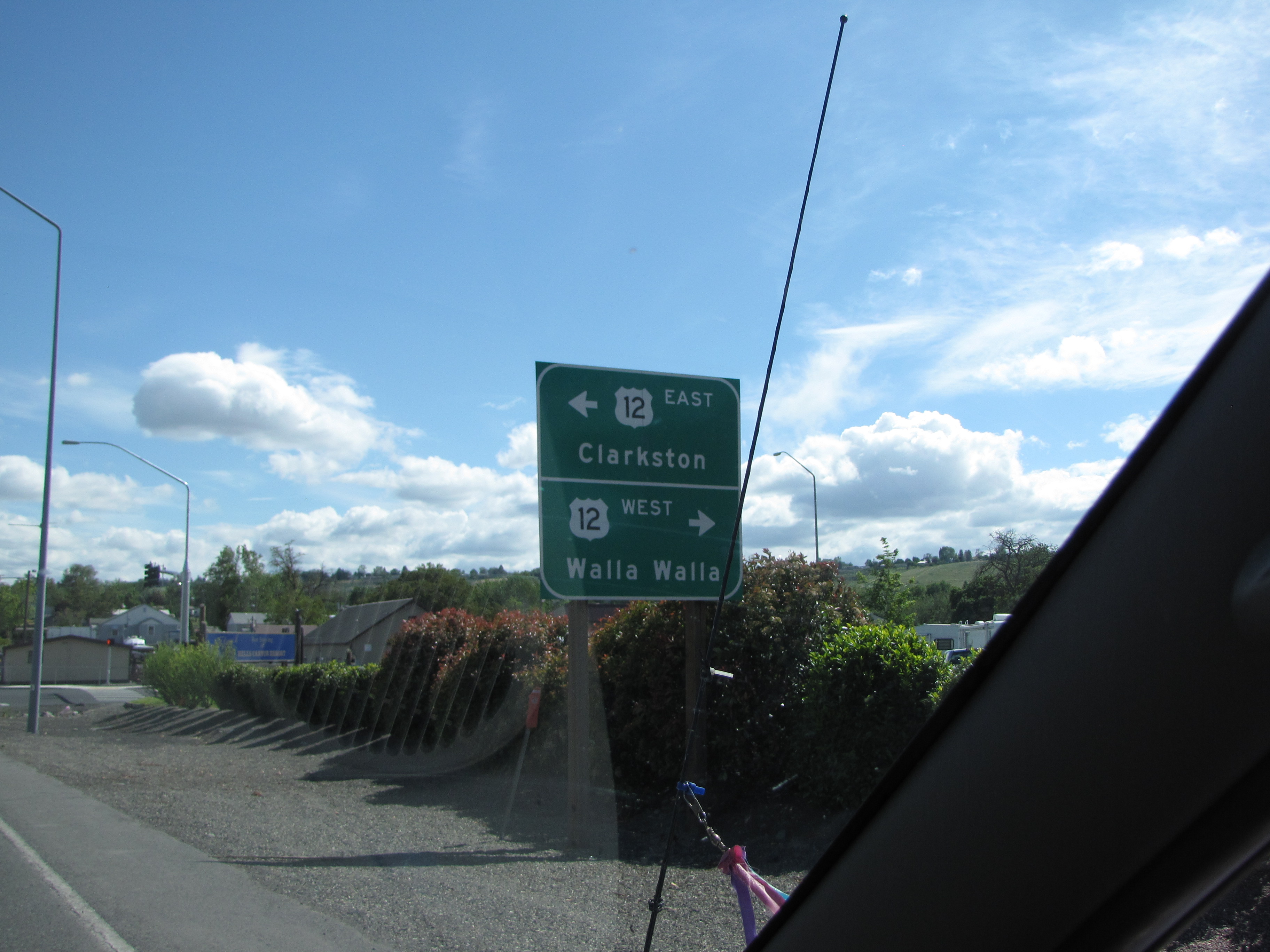
Do these town names sound familiar to you? Well, maybe not, because it was ukubillion chapters ago that we went through them on our way to Montana.
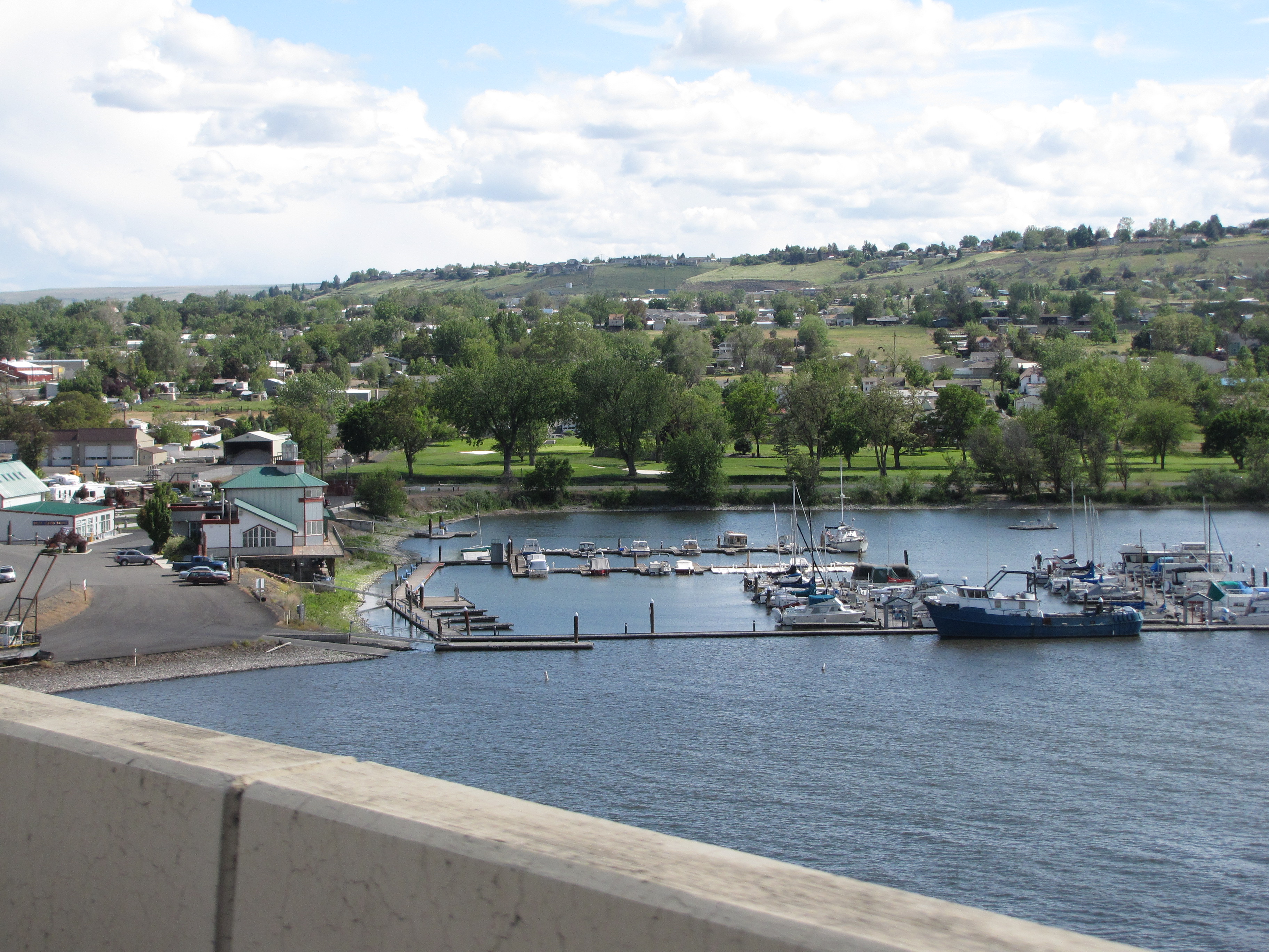
There’s another view of the marina and Red Wolf Crossing.
Of course I wanted to stop at the historical marker.


The sign reads:
Guided by two Nez Perce men, the Lewis and Clark Expedition entered present-day Washington on October 10, 1805. They beached their dugout canoes and camped at a site across the Snake River from here.
In this area, the explorers met, traded with, and recorded observations about the Nez Perce. These Indians, some of the most friendly and helpful on the entire journey, assisted by providing food, guides, and maps. Indian people had lived here for thousands of years and knew every practical river and overland route, as well as sources of food, water, and shelter.
From here, Lewis and Clark continued down the Snake and Columbia rivers, reaching their principal goal, the Pacific Ocean, at Cape Disappointment. They constructed Fort Clapsop, their winter quarters, among the Chinook and Clatsop Indians at the mouth of the Columbia River. In the spring, the Expedition crossed by this place on its return to the United States.

Snarky editorial comment: Had these helpful Indians known that eventually they would be illegally shoved onto reservations and kept from their ancestral lands by the followers who came after Lewis and Clark, would they have been so willing to help? I doubt it. And don’t even get me started on the illegal overthrow of the Hawaiian government by the haole people who decided that Hawaiian lands were theirs for the taking.
But I digress.
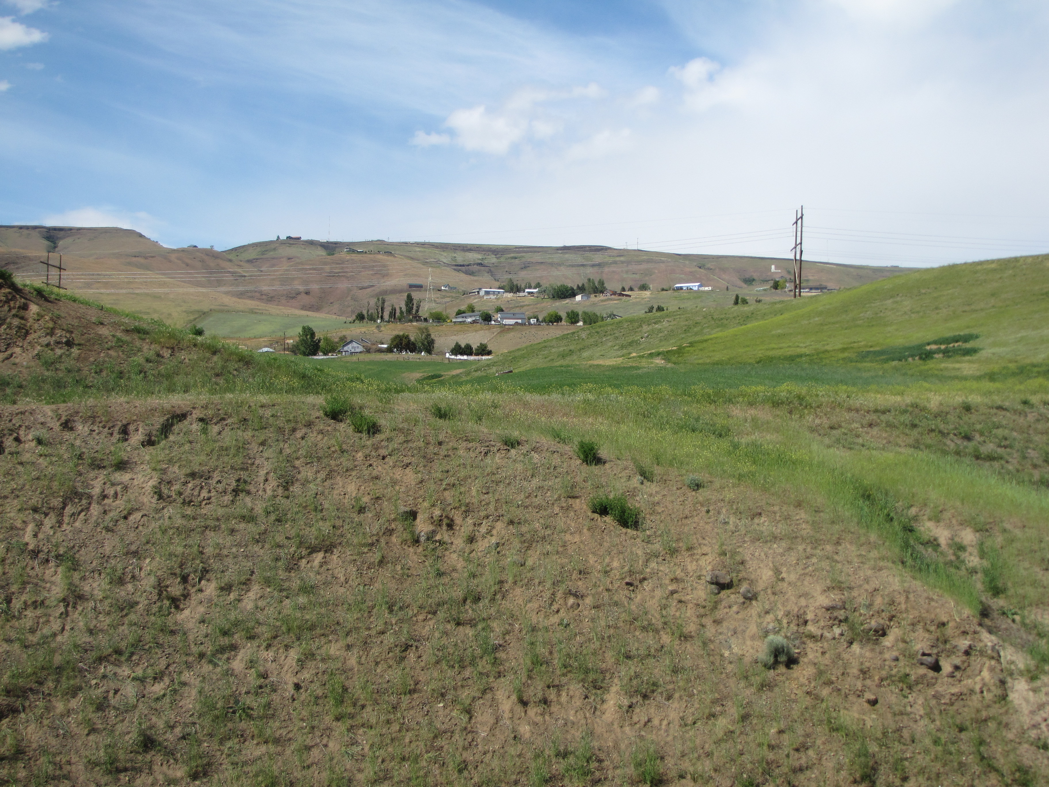
Heading makai on Highway 12, with the Snake River beside us.
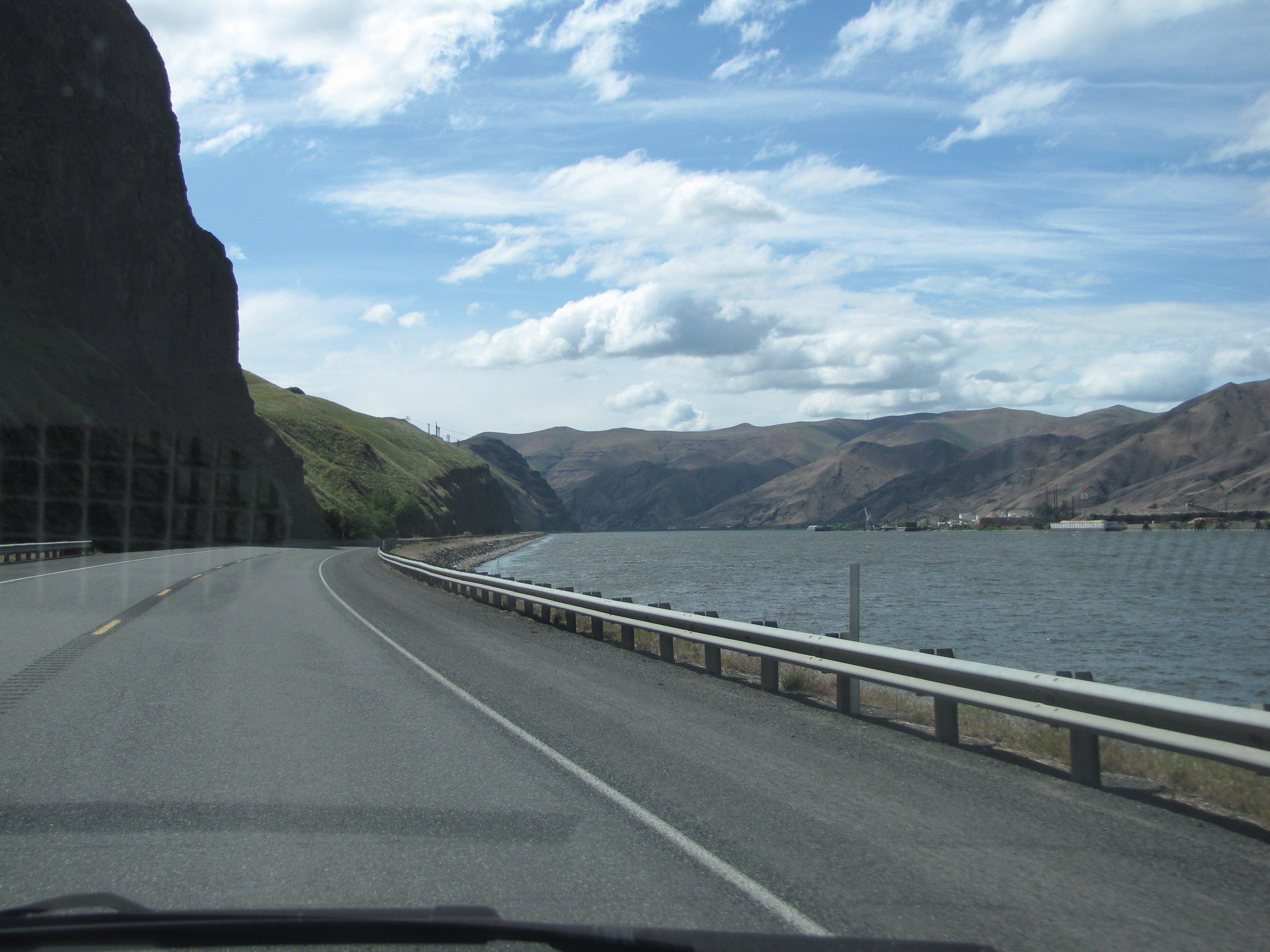
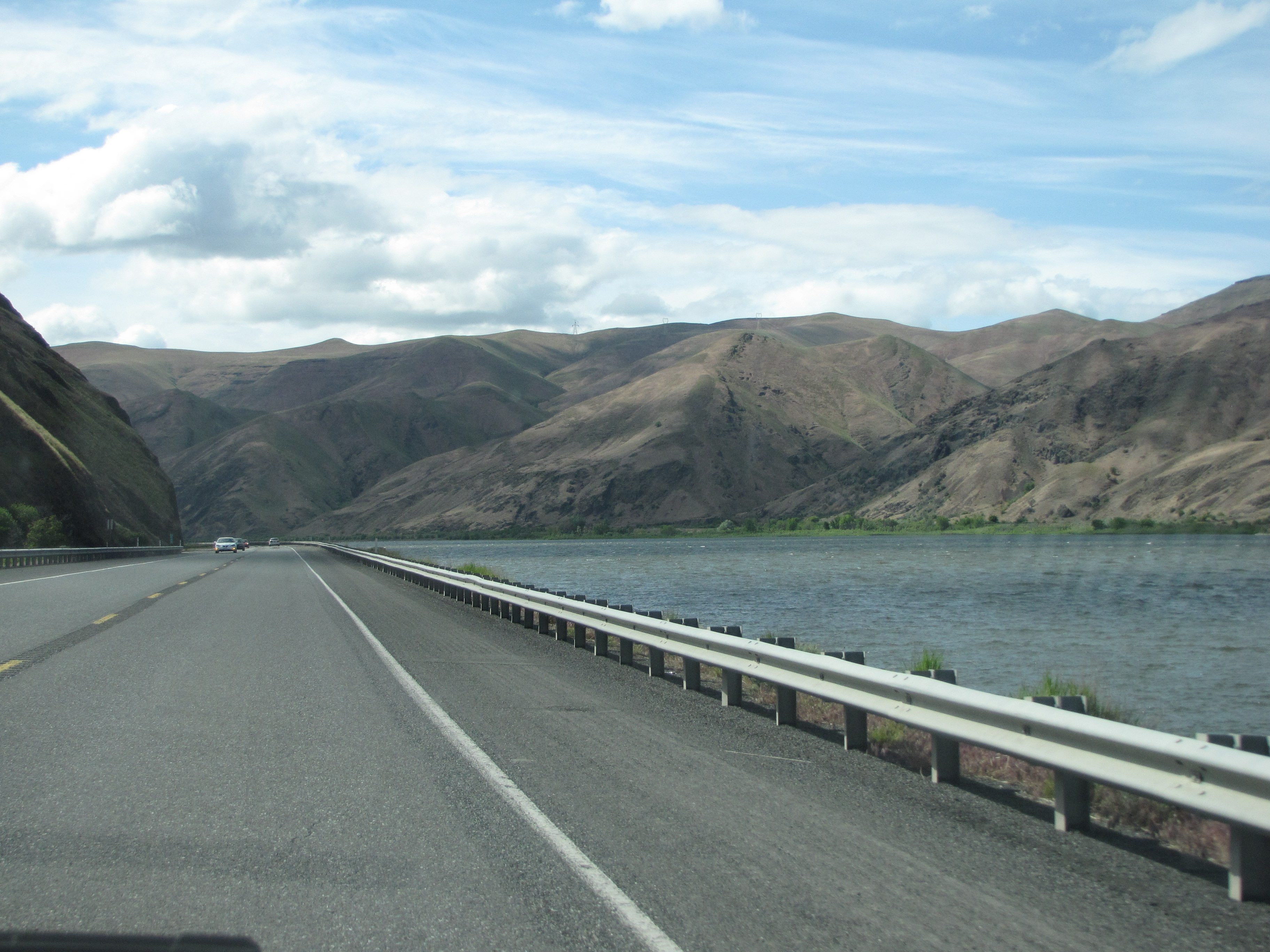
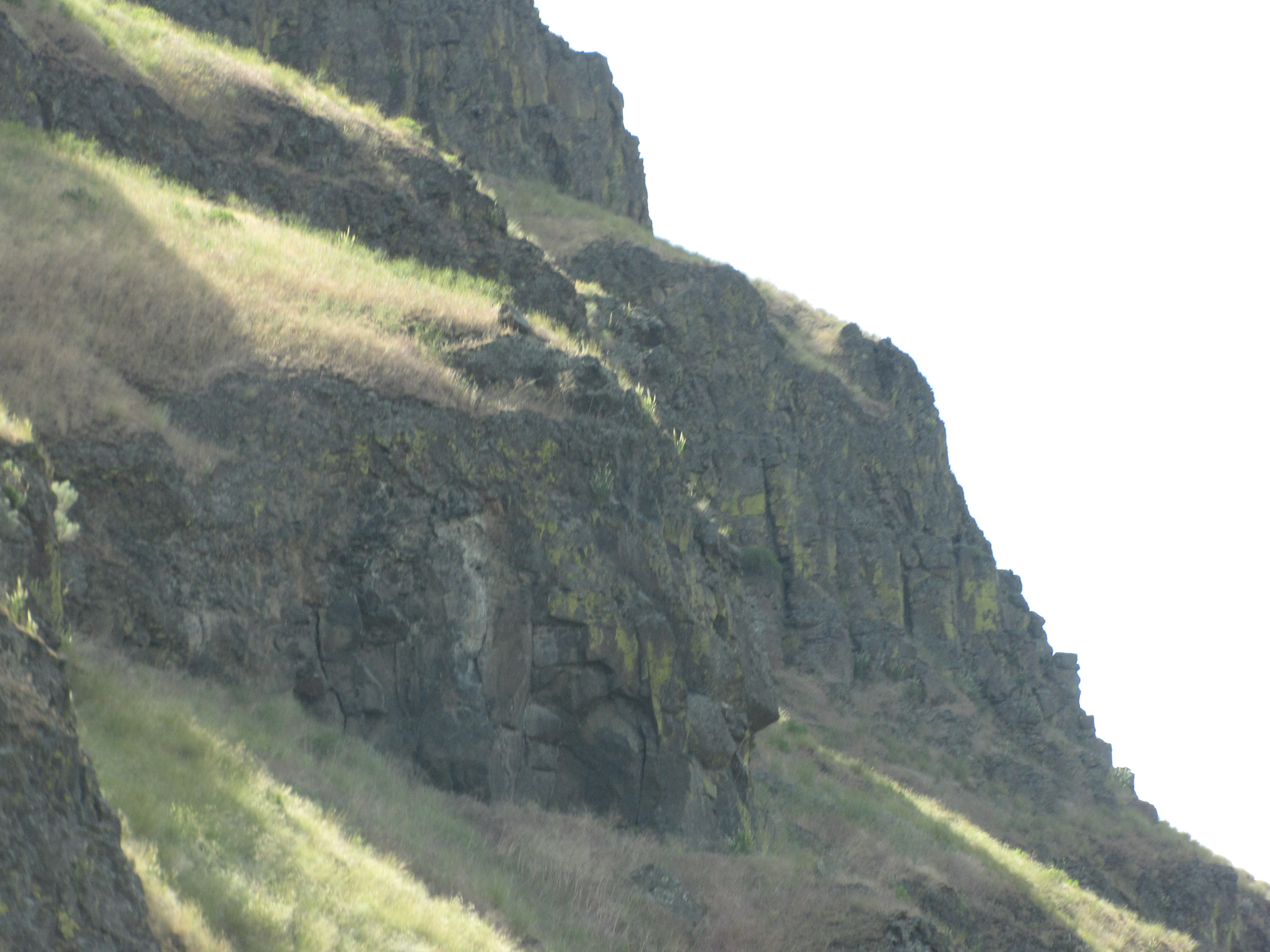
The fascinating rock formations. I’m more aware of them now since I know that Izzie loves seeing them.

The Snake was pretty quiet this day.

These next photos should look familiar.

Nope? Not yet? How about now?

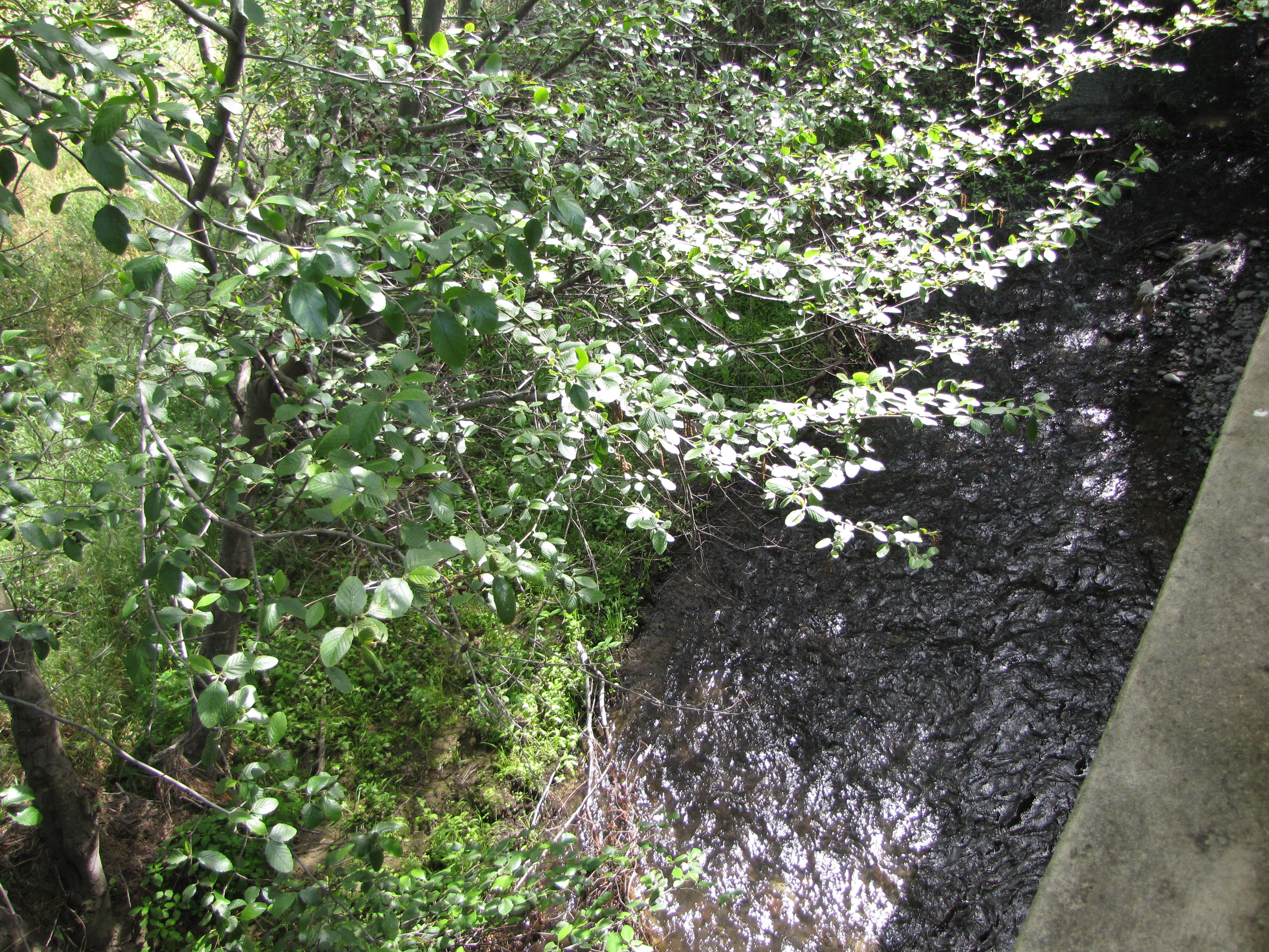
Yeah, it’s Chief Temuut’su Bridge! We always stop here; it’s kinda like a pilgrimage stop for us. That’s Alpowa Creek running underneath it.

The creek runs out into the Snake River from here.

We love this old bridge, and are so happy we impulsively stopped to investigate it on our first Montana road trip in 2009.

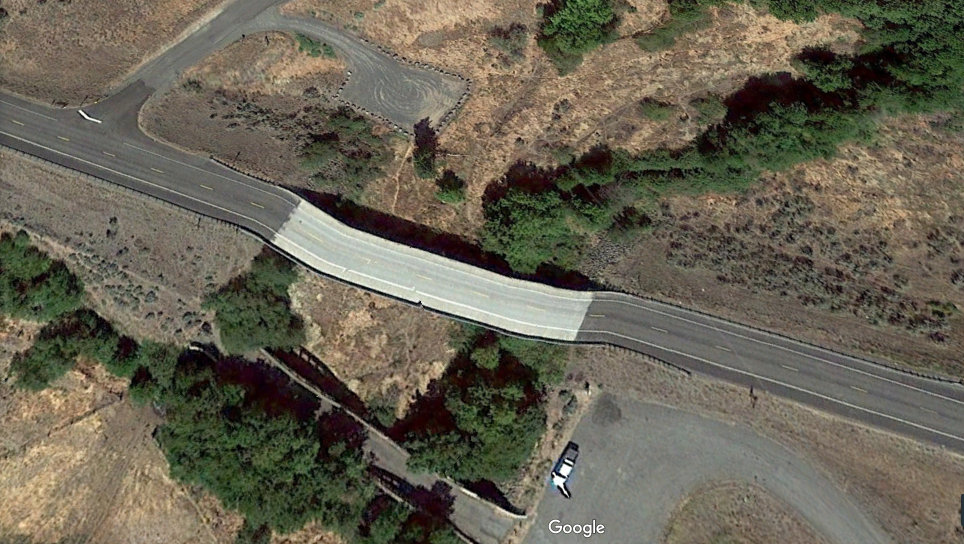
Try look the shadow of it from Google Earth.
K’den, pau for now. I never dreamed this road trip would have so many chapters, but we took so many photos and well, I like writing about it.

Chief Temuut’su Bridge is beautiful. I can see why you guys like to stop there. And Bridgehunter.com? That’s amazing. Thanks for sharing, Moki-chan!
Mahalo nui! It’s a wonderful place to stop for realz. It’s quiet and peaceful, and I love the sense of history and the sound of the water.