
Of course I knew I hadn’t finished this long road trip! Ack… but really, Mokihana, 17 months without and still not pau? Sheesh! And leaving AFK waiting for pīpī photos!! Inconceivable!!! Auē to da max. And at an exciting part, too.
Pīpī intensive for AFK!
So Iʻm gonna make that right. So here goes.
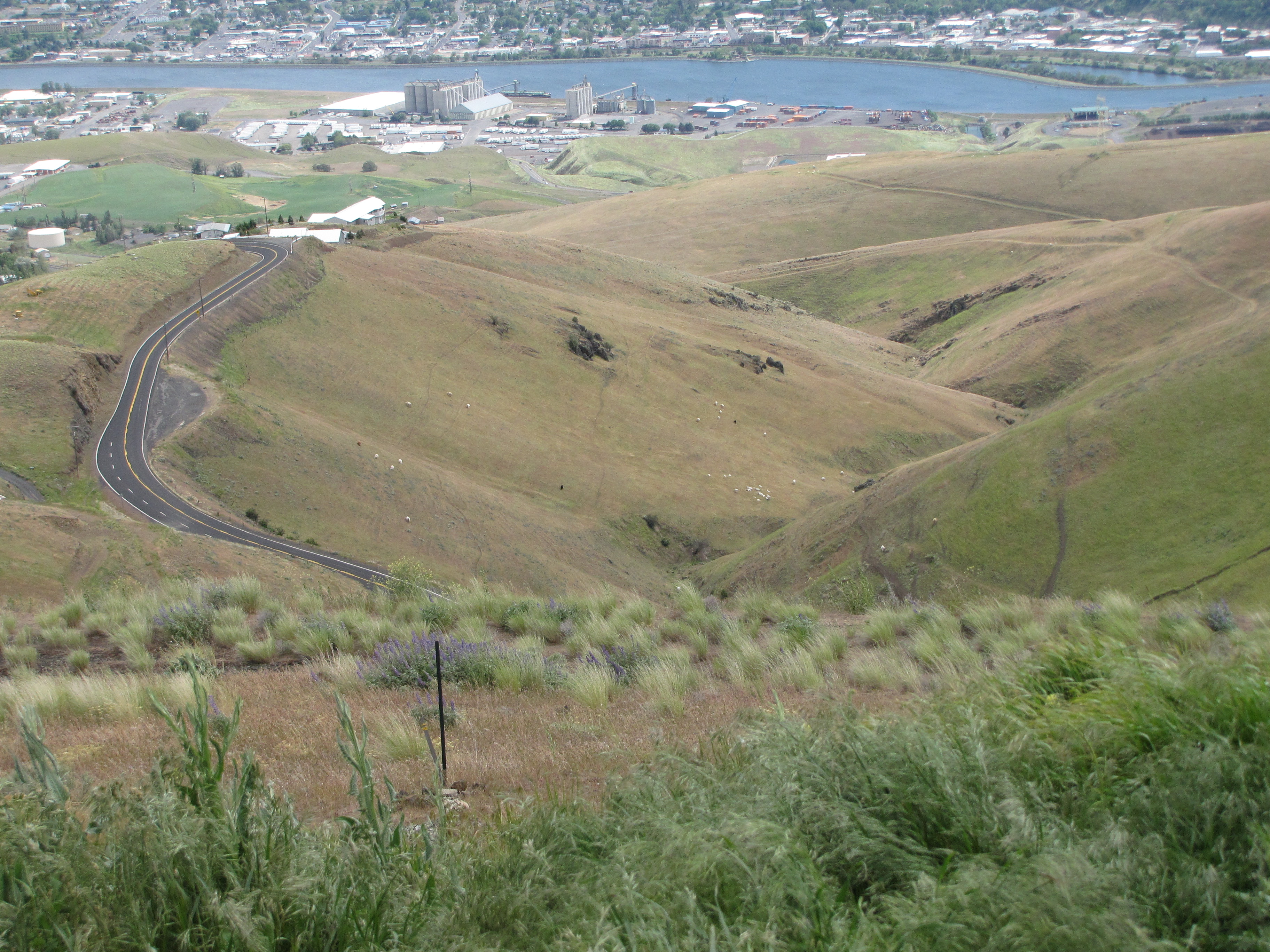
Last time, we were looking down into the city of Lewiston, Idaho, right at the top of a steep hill.

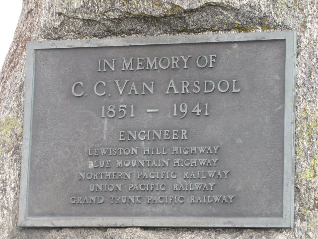
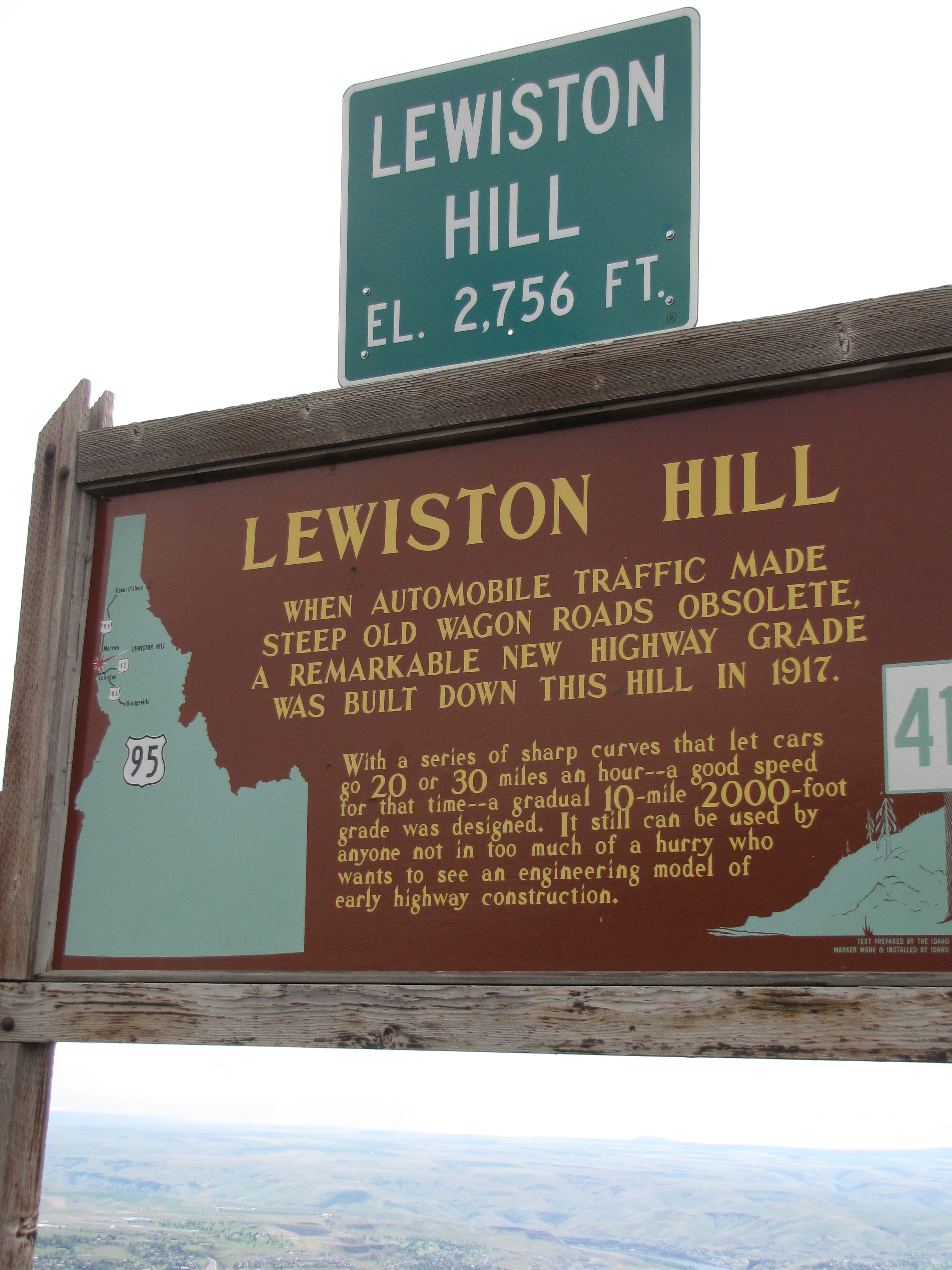
These historical signs are at the top of the hill going down:
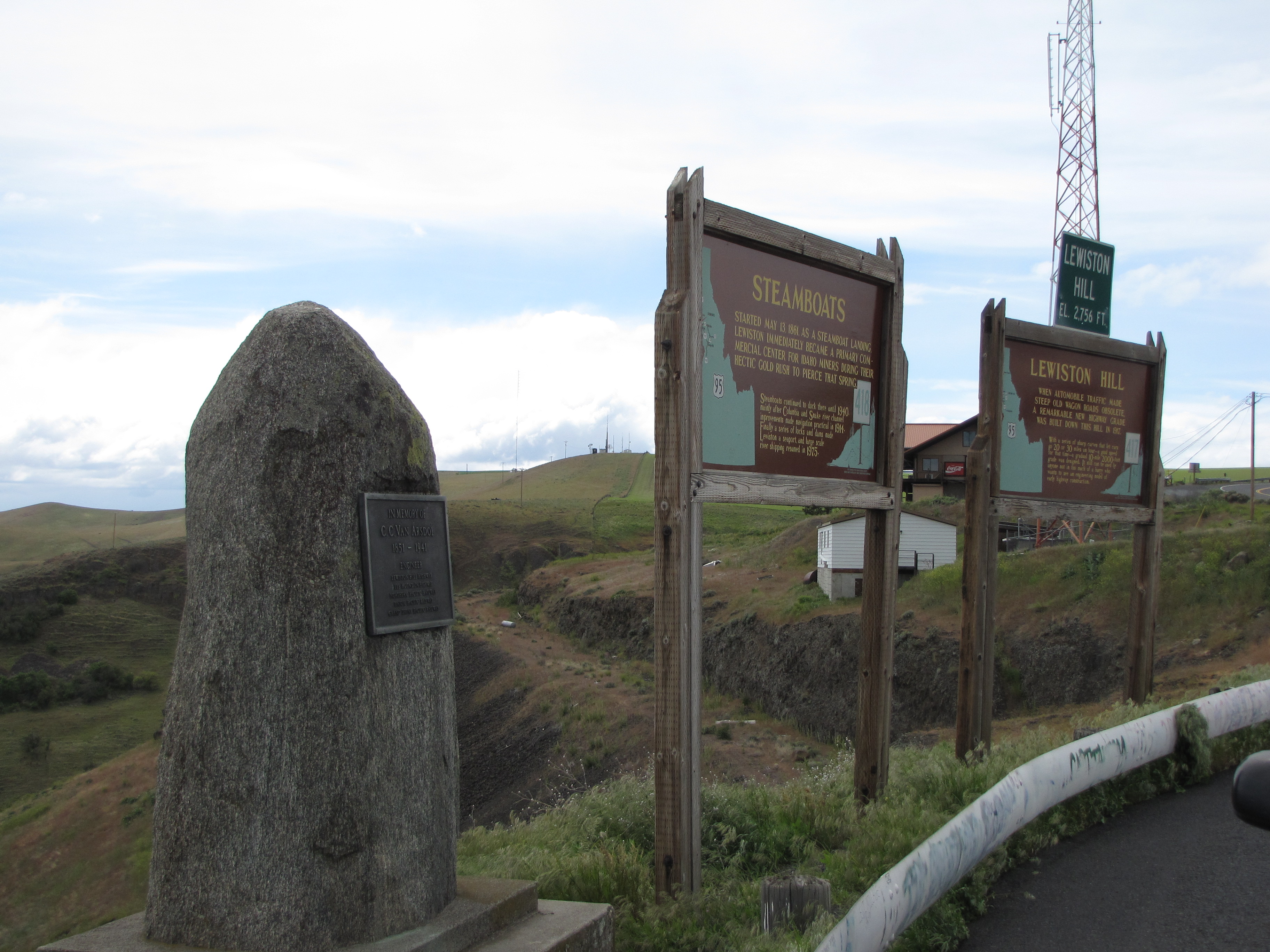

What I didn’t show you was the road going down. Granted, there’s a newer highway that bypasses this old road, but seriously, would I miss a chance like this one? Nope! I said, I’d planned our whole trip home so that we could take the old highway. This one:

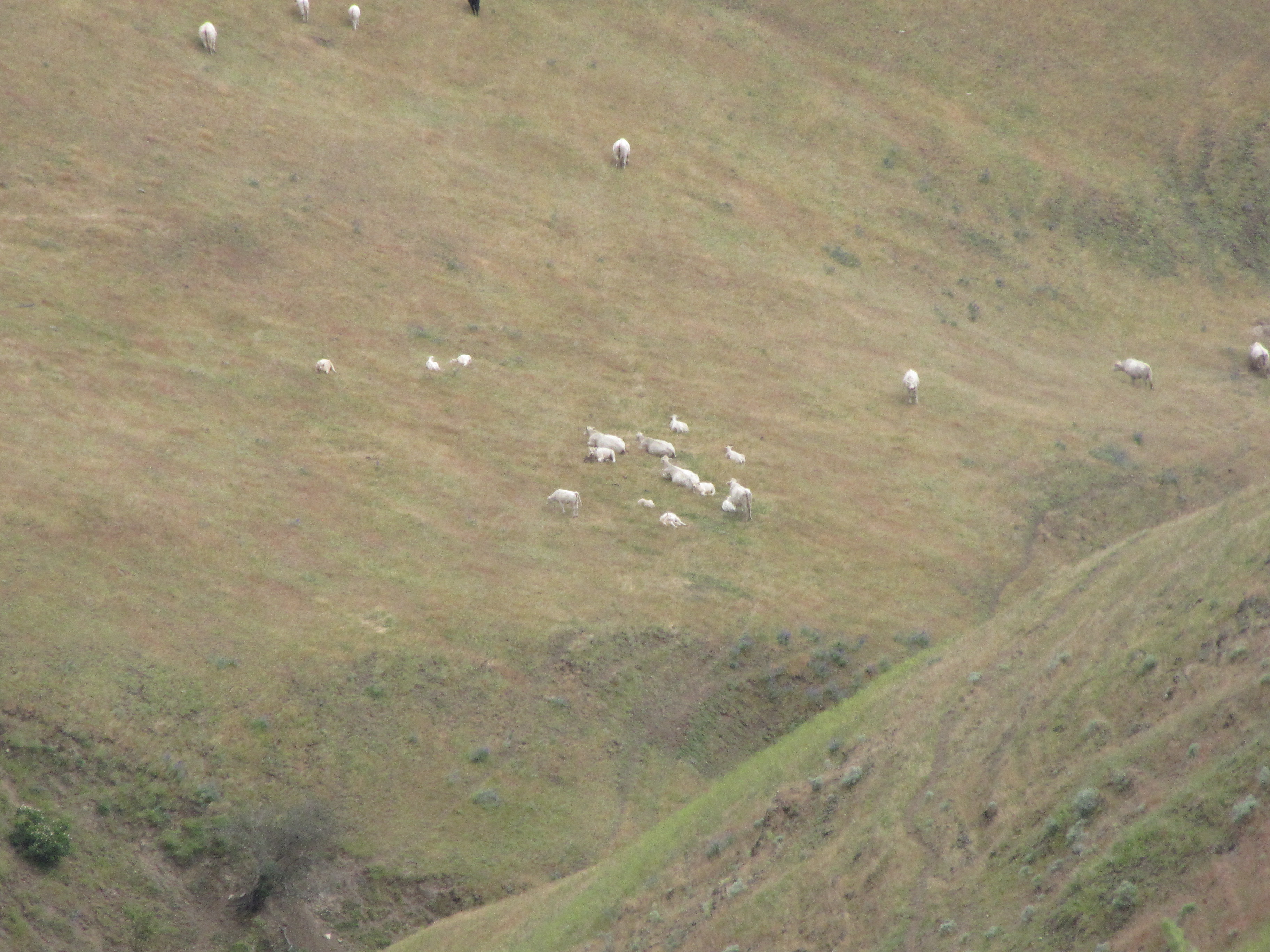
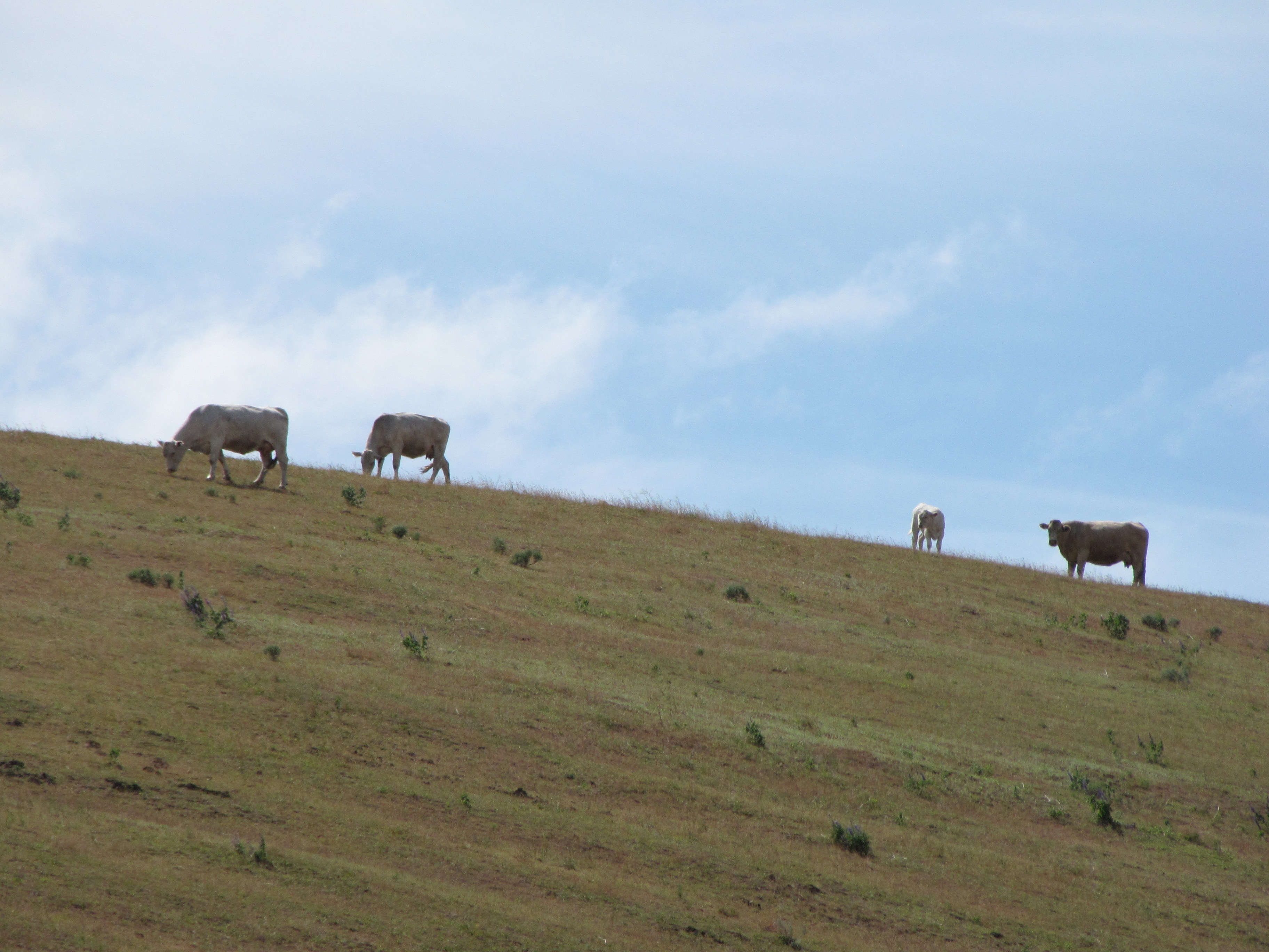
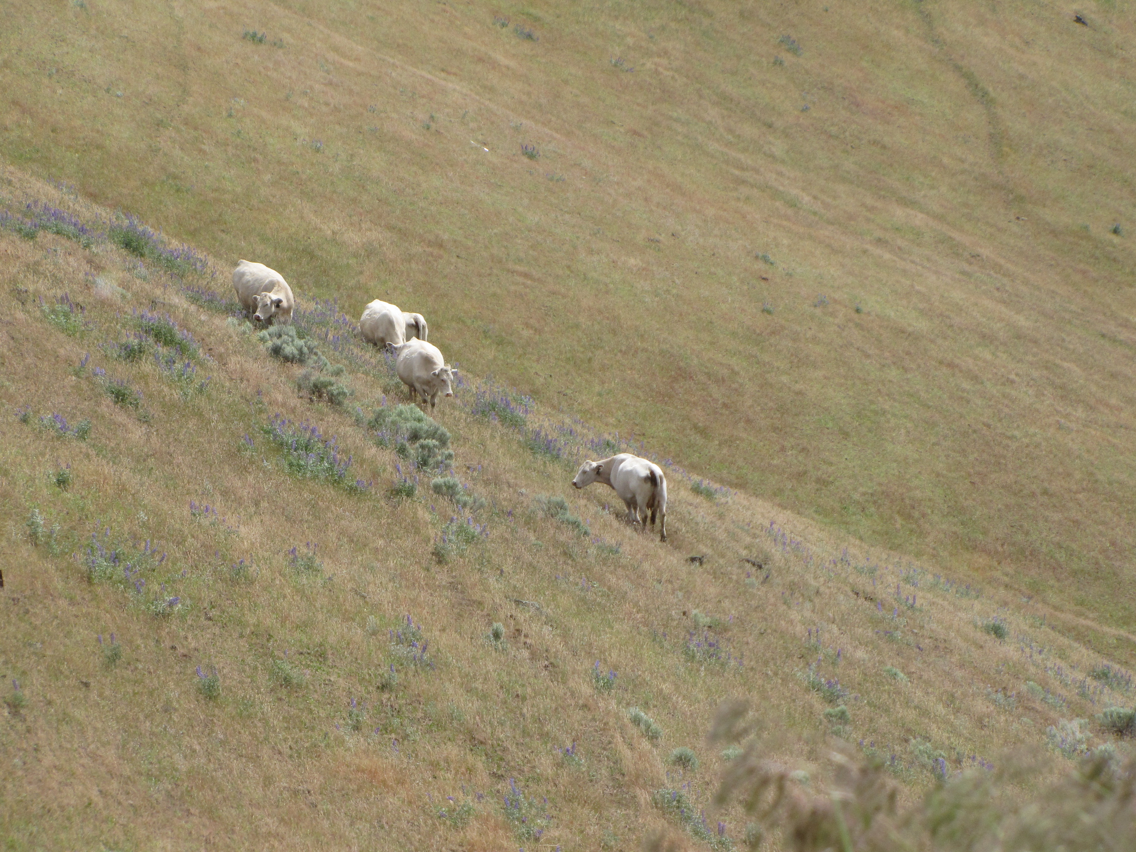
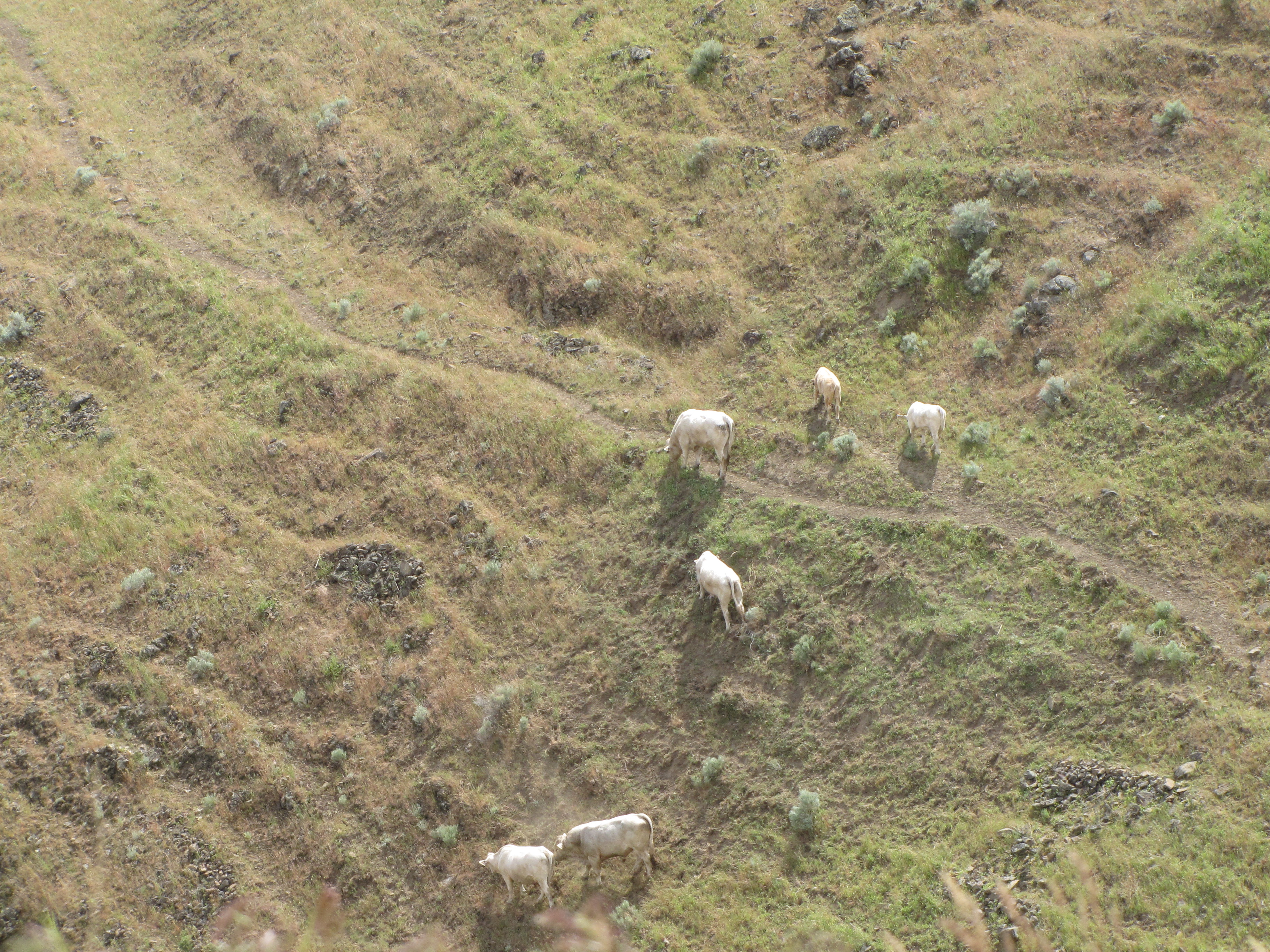
We could see white pīpī down there.

View from the top of the hill. Ho da windy!!! And yeah, we’re gonna go alla way down! Around all sixty-four curves!
I never even knew about this highway till I wrote the 2009 Montana Road Trip entry, and while checking out Google Earth, saw it…and I told Nolemana, “Eh, next time we go Montana, we stay going that way!” You know me and how I love going around curvy roads!
So here we go!

See the three sections of the highway down there?

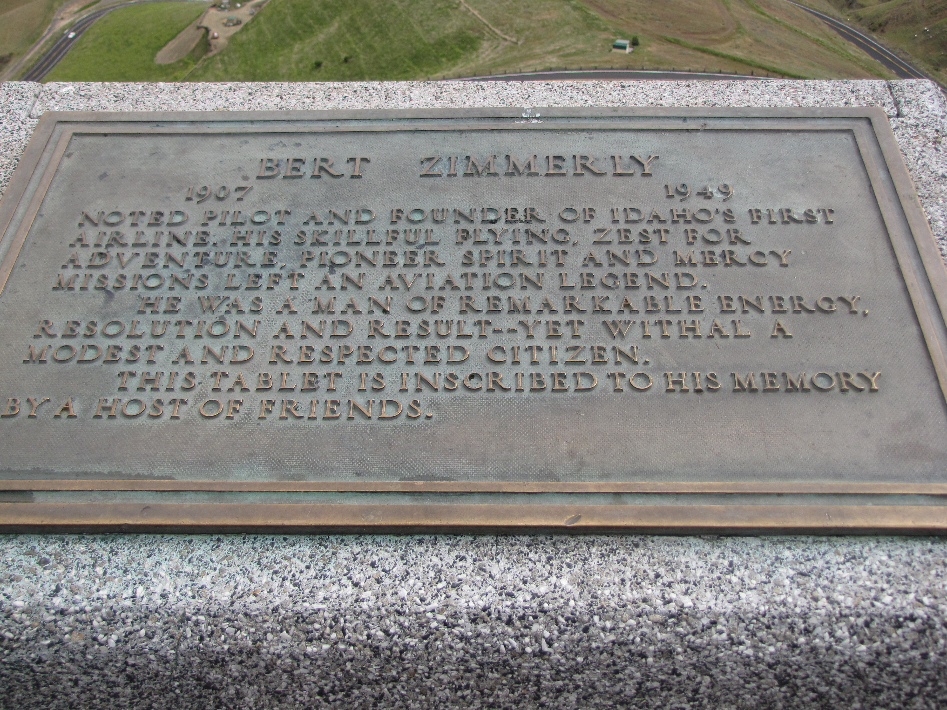
We saw this bronze tablet dedicated to the memory of Bert Zimmerly. I’d never heard of him before. It’s worth reading this article about him. And this one.
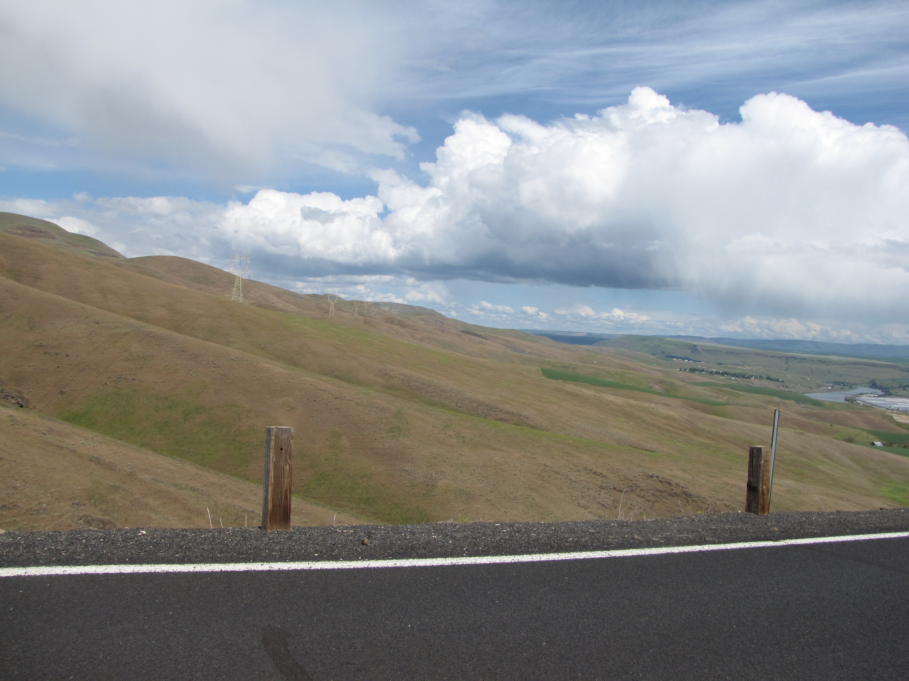
We took lots of photos before going too far. The view was spectacular, and we were about the only ones on the road. There are more spirals now.

This is looking back up to the top where we just came from.

And try look da pīpī!!
Kʻden…. here we go! So much fun!!! And better views going down than up. Yep. Thatʻs how I planned it. Too bad I forgot the Hawaiian music, though.
And more pīpī!
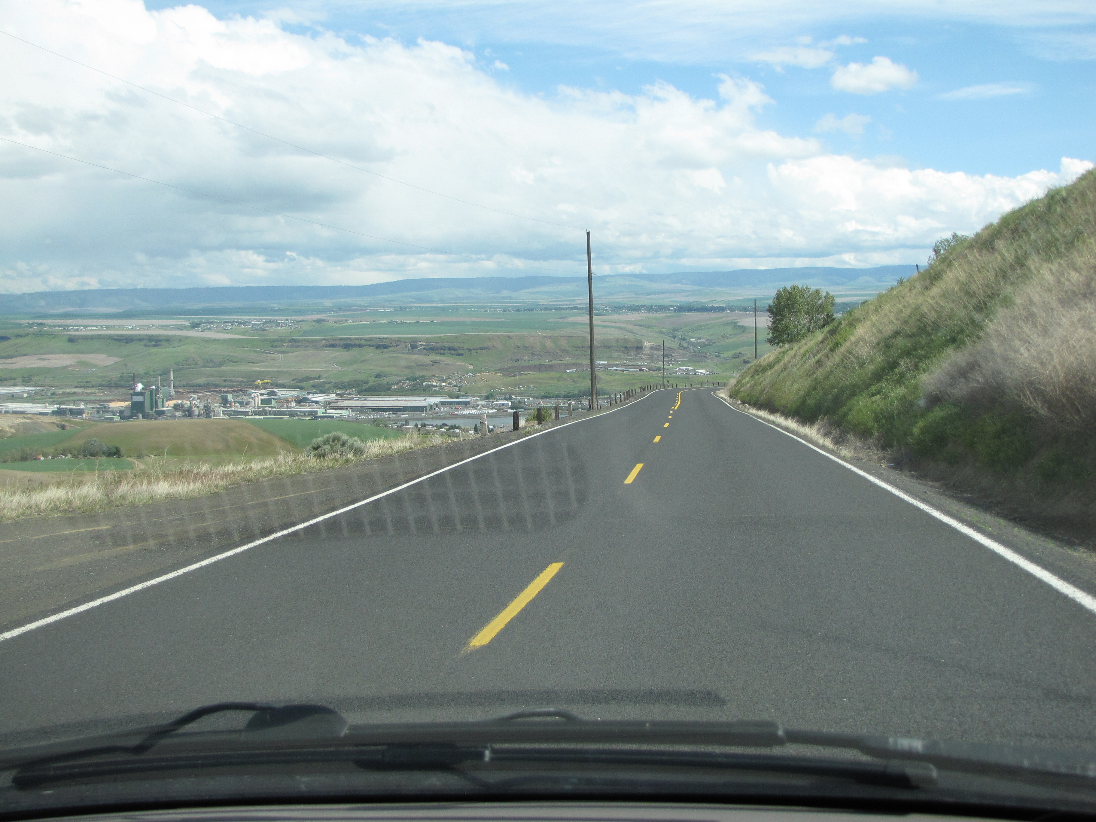
Another view of Lewiston on our way down.

And guess what? More!
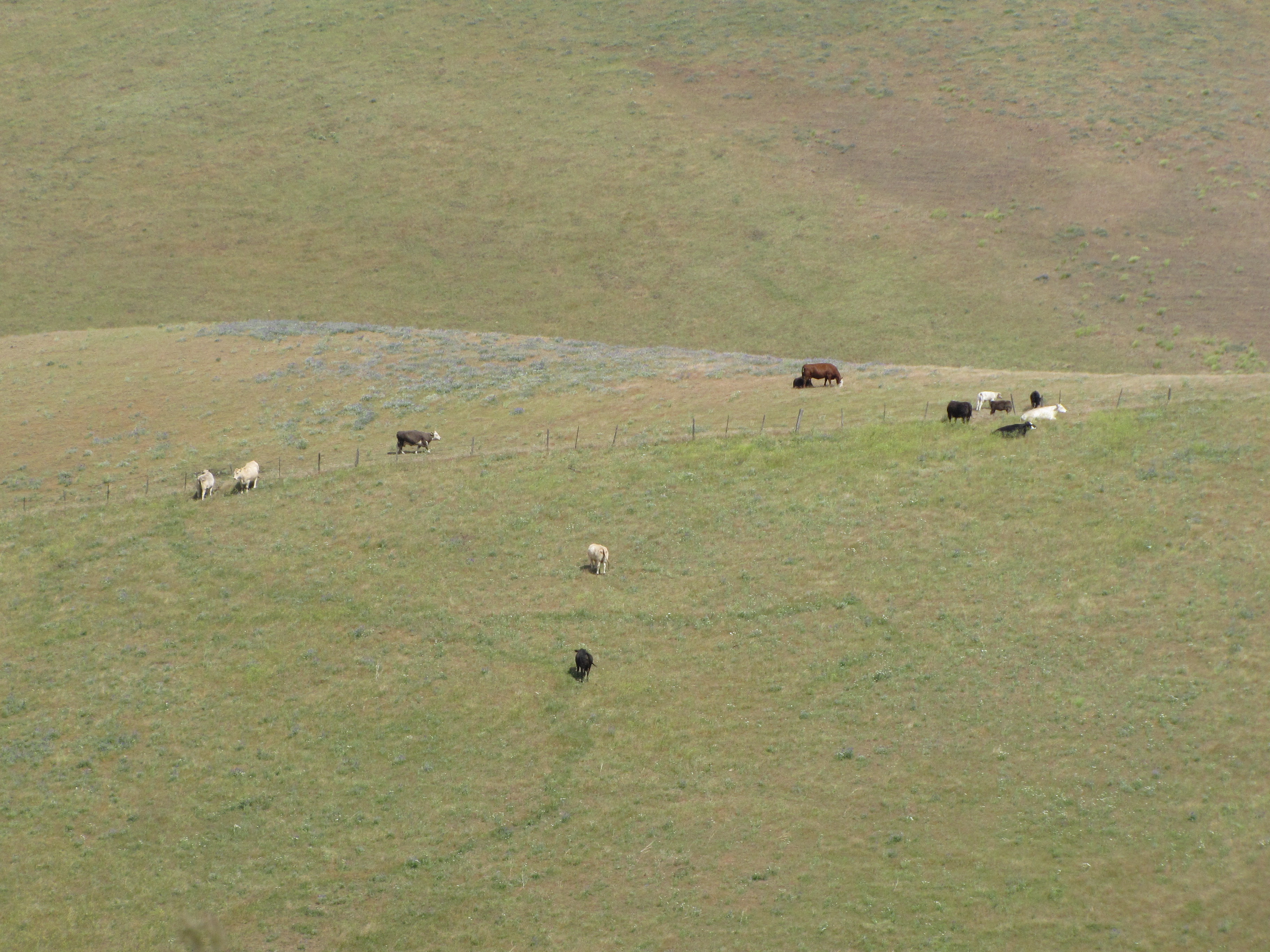
More views on our way down.

Can you see Musubiʻs reflection? He was enjoying the ride, too.

Ho da pīpī intensive, yeah? We got a good close-up of this one.
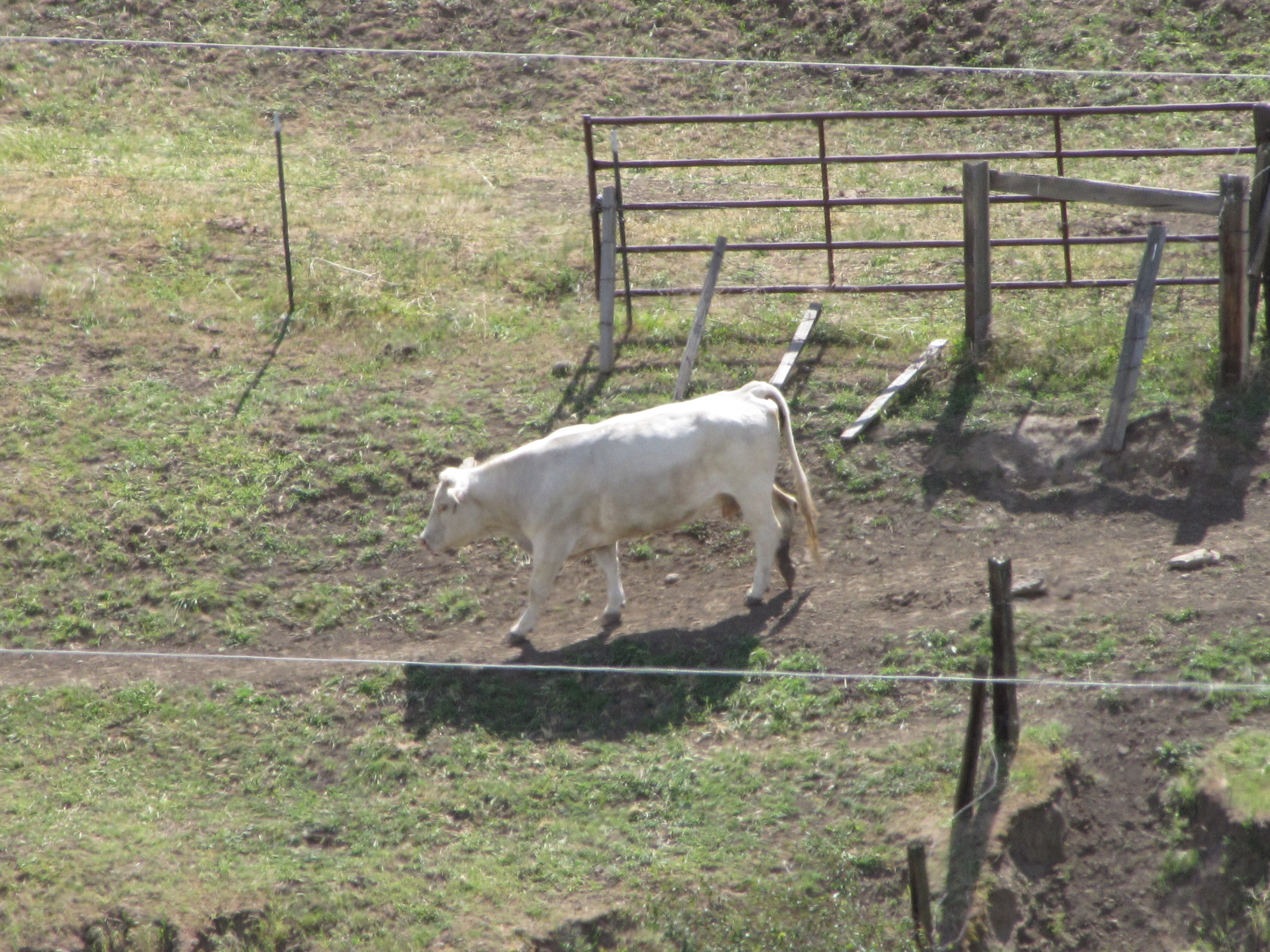
I think she was small kine hūhū, the way she was pawing the ground.

Hereʻs the last video we took.
We were getting to the bottom of the hill.

Umm… quite a difference between this and the views weʻd been getting!

And weʻre down.

Wanna see what the highway looks like from the air? See why I wanted to take it?

This is a really interesting article about this highway; a really good read.
Okay pau for this leg of the journey. Next time (not 17 months from now), we’ll be heading down the Palouse Country in Idaho. Mahalo for being so patient with this one!

Moki-chan, you are so thoughtful to post all those pīpī photos for my pīpī-lovin’ heart. I think they are Charolais cows, originally from France. And holy cow (!) that is one twisty-turny road. Ju’like going down Tantalus, but more rural! Or going to Hana, but steeper!
Thanks for taking us along on this nani drive.
Hui…. I’m always looking for pīpī for you…it blesses me to find them! And I bet you’re right about the Charolais…good catch!! And oh yeah, like Tantalus! We used to live up dea small kid time… Hahaha about Hana going vertical!!