
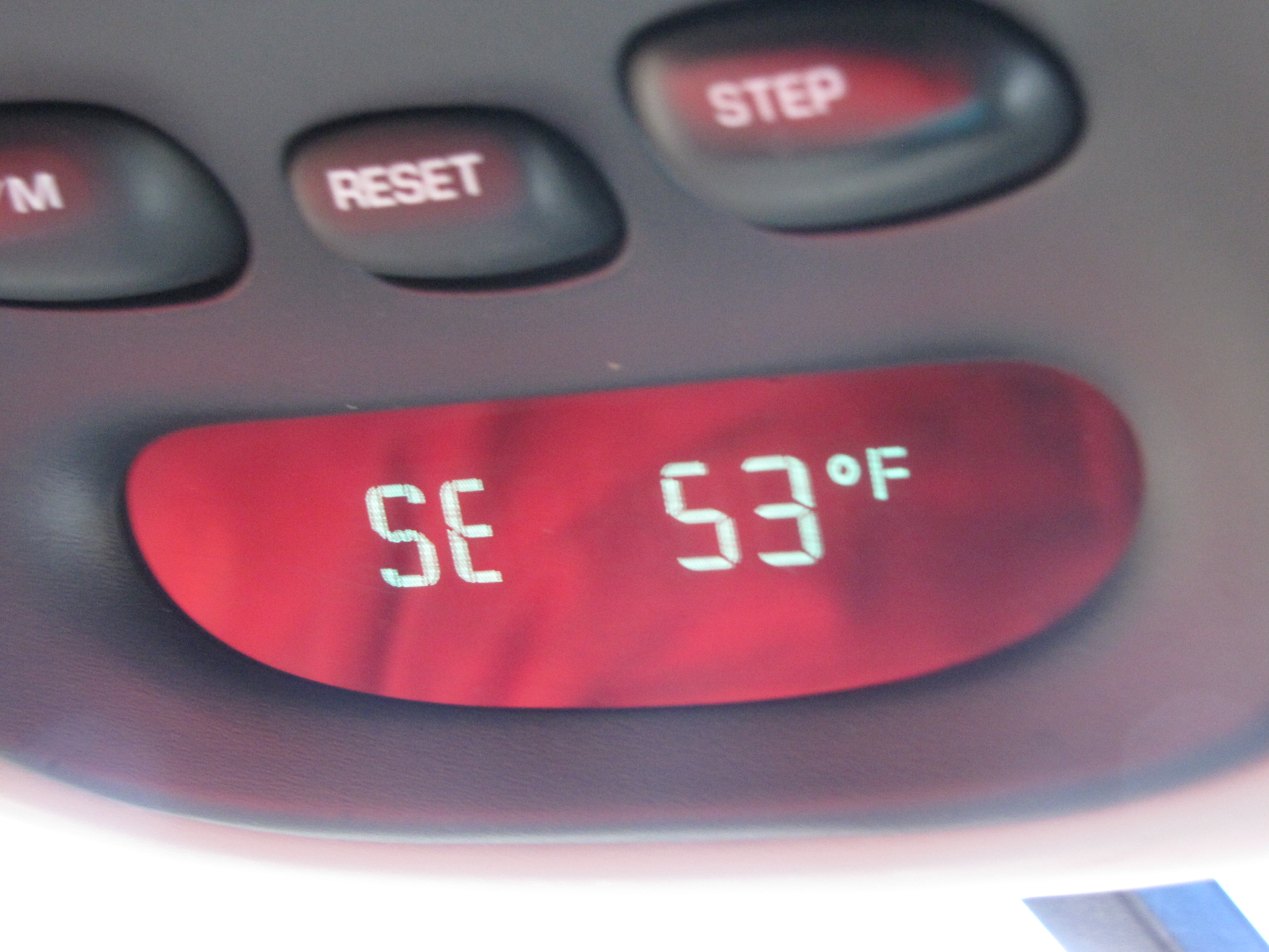
K’den. It was now about 9:54 a.m. (I think I messed up the time on my previous posts… I forgot that we’re now in Mountain Time.) Here we were just East of St Regis, Montana. Still on the wrong side of the freeway, that was really the right side because we were told to drive there. Right?
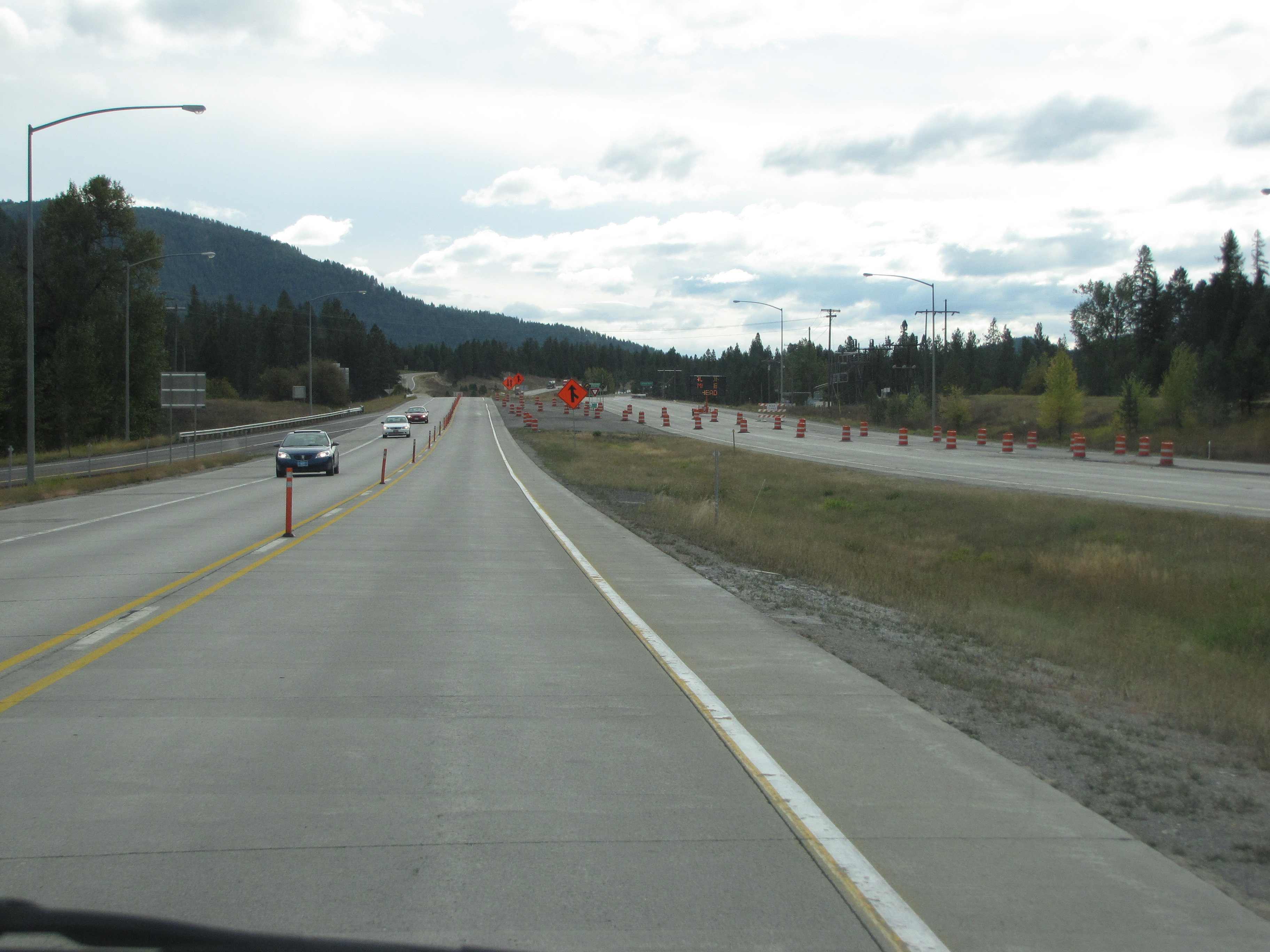
We traveled miles and miles on the wrong side of the freeway. Kinda weird. We’re still East of St Regis here.
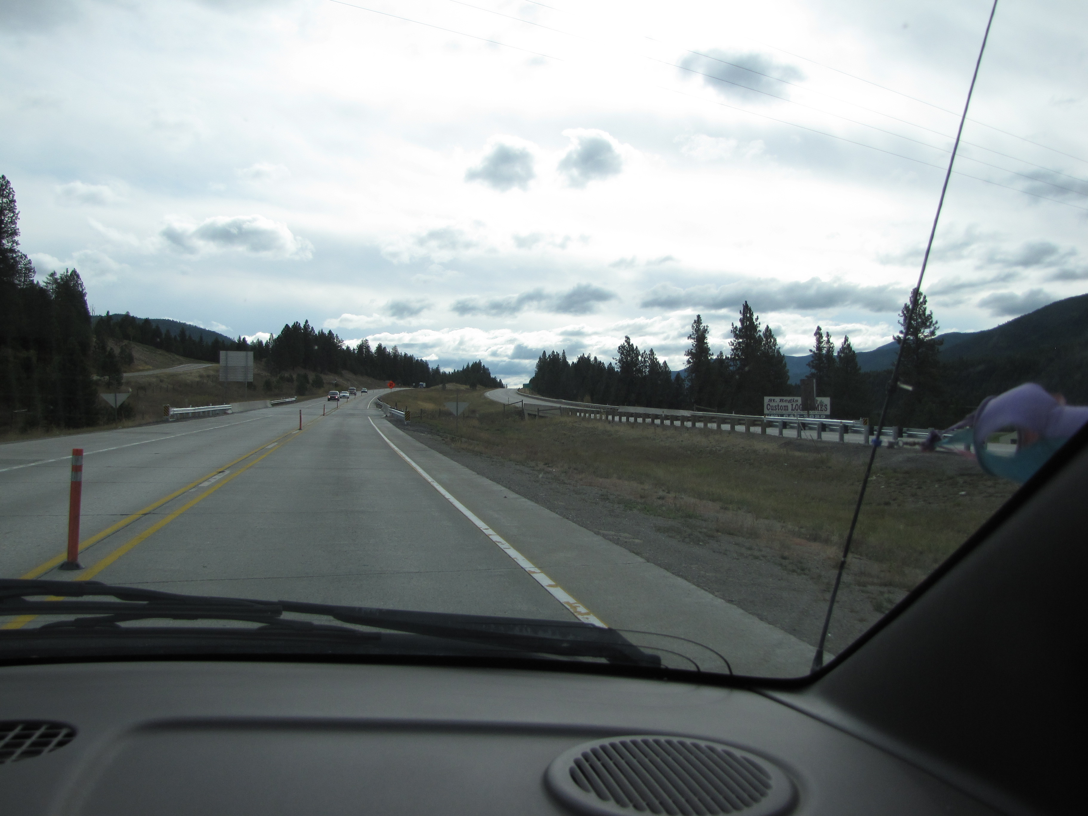
This is near exit 37 on I-90. The scenery was really beautiful. I felt like I was in a fabulous wonderland! I know I said it before, but driving around each new corner brought such magnificent vistas just made my heart sing. It’s so hard to find the words to describe the joy I was feeling. We’re now in the St Regis National Forest.
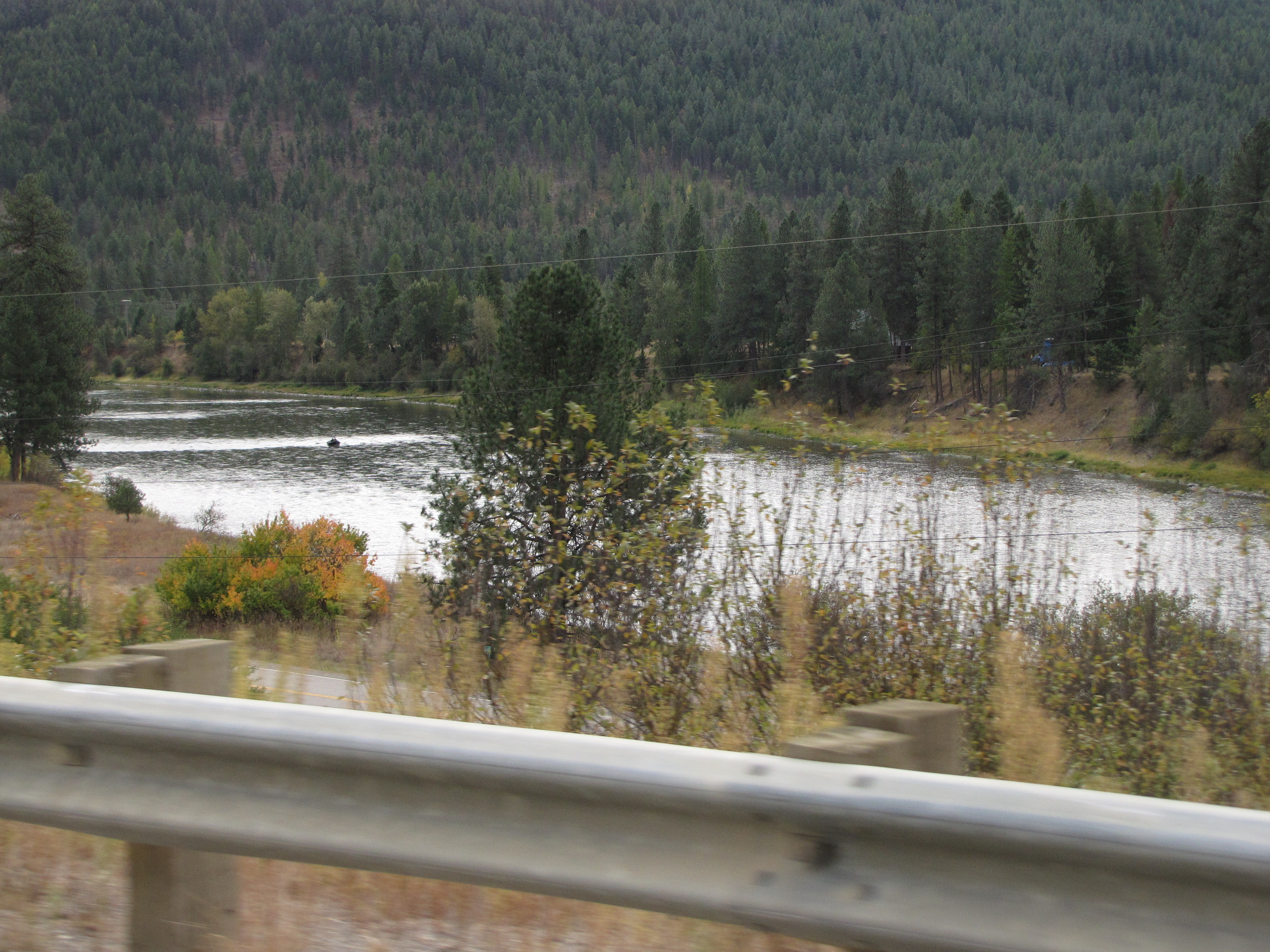
A minute later, we caught our first glimpse of the Clark Fork of the Columbia River! The same Columbia River that flows all the way to the ocean.
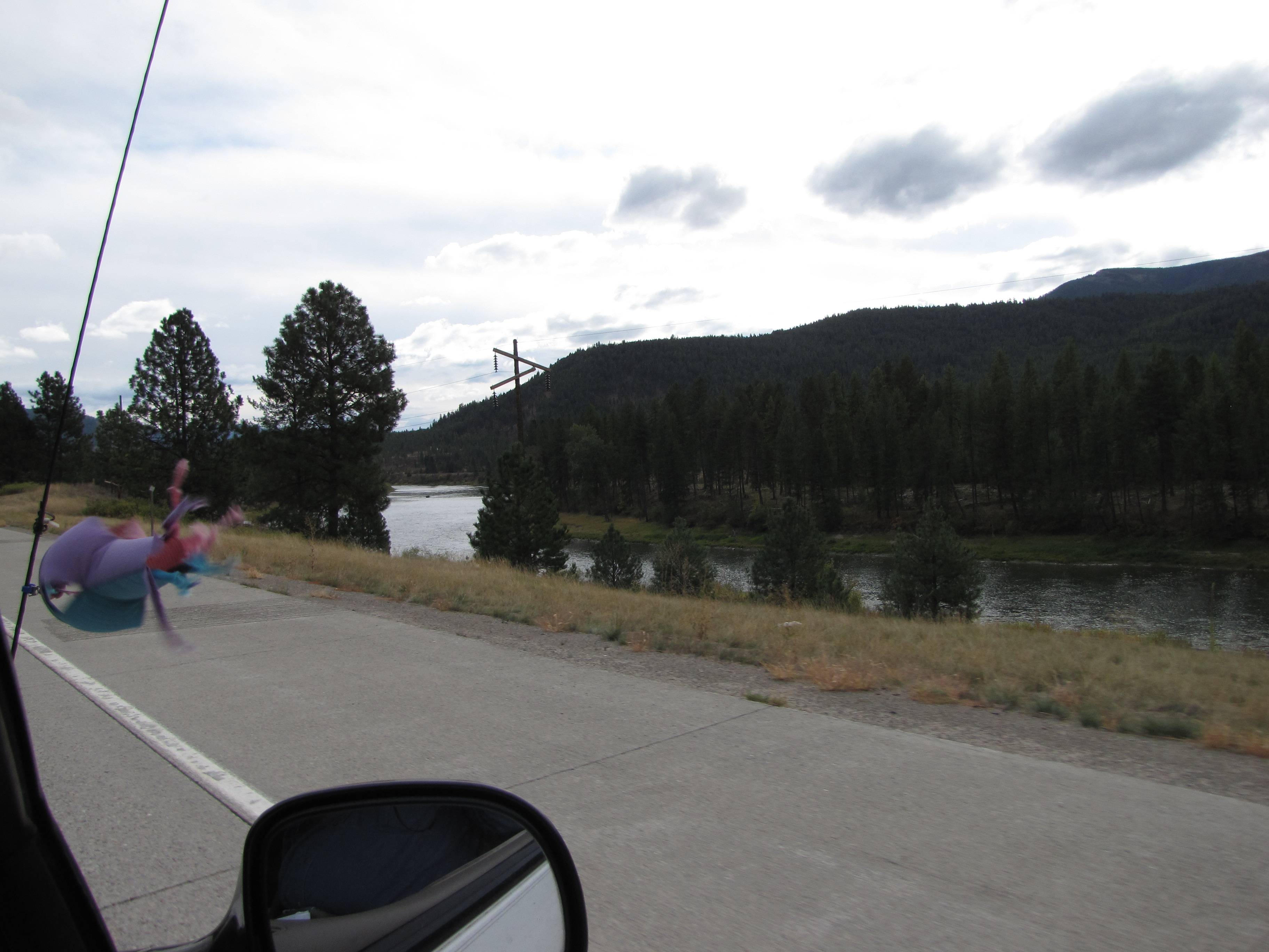
We are southeast of St Regis; here is a better view of the Clark Fork River.
We pass a ranch in the distance. And of course, being Mokihana, I wonder what it’s like living out here, especially in the middle of winter with ukubillion feet of snow on the ground.
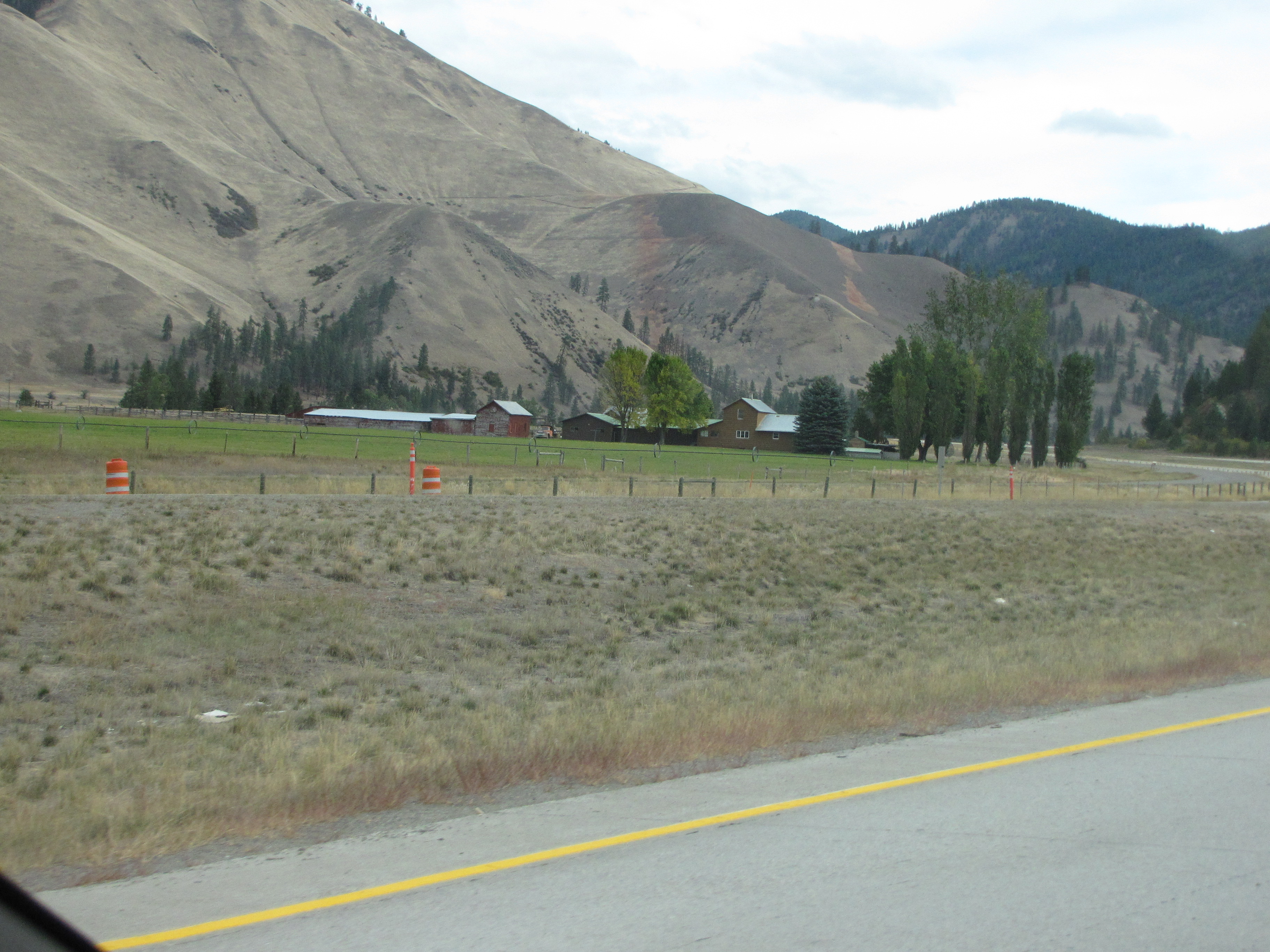
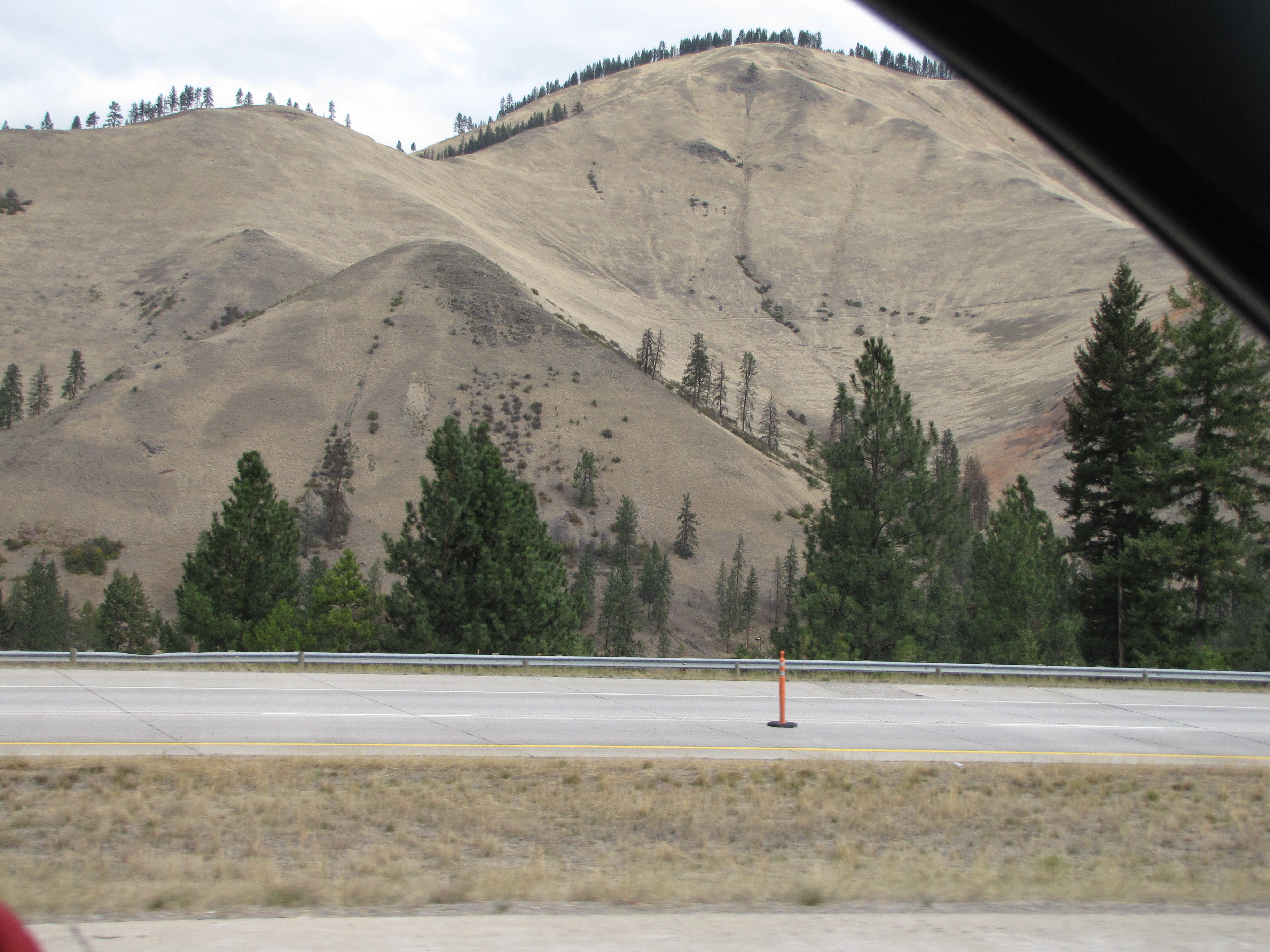
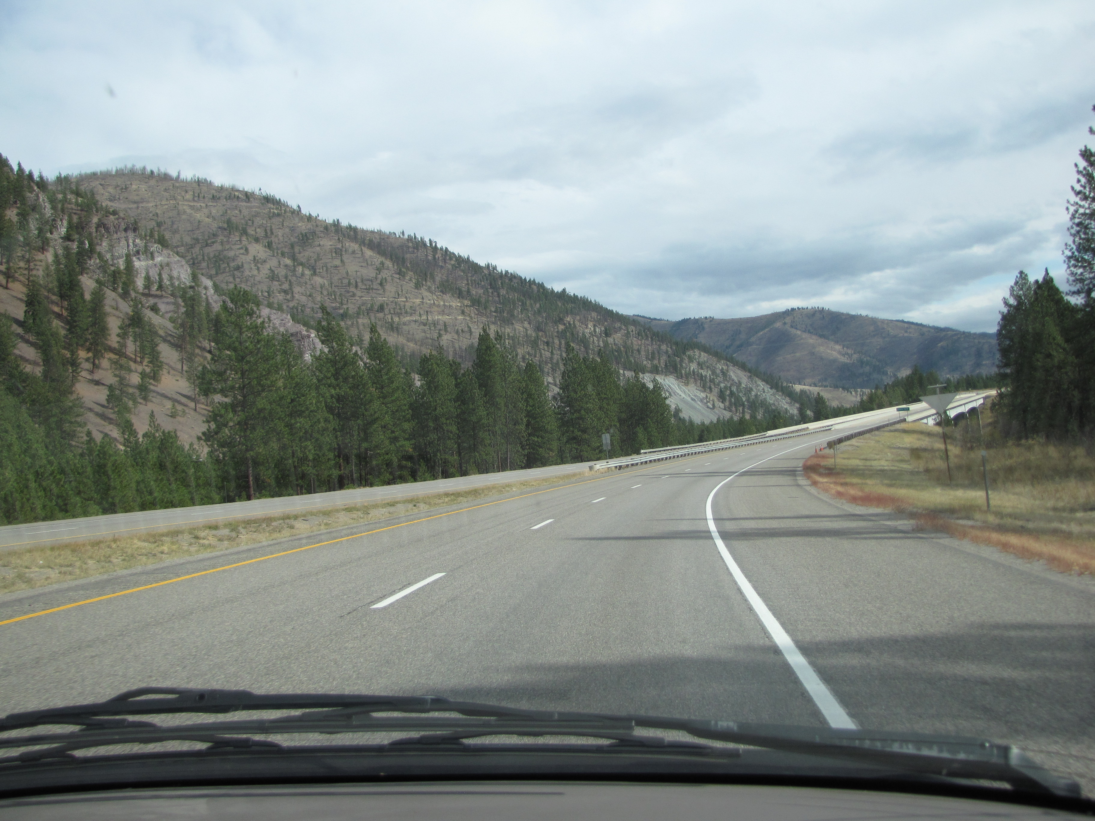
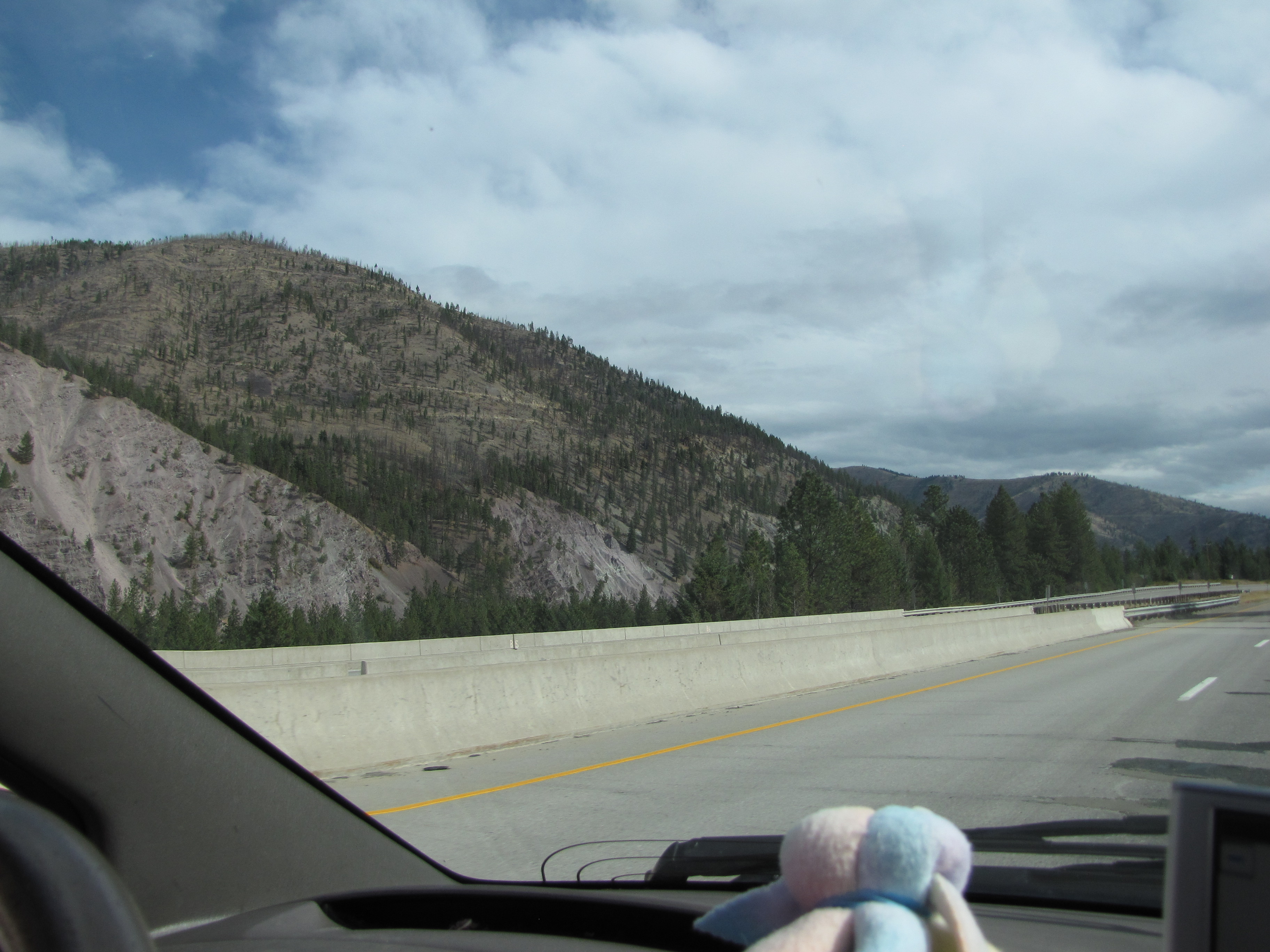
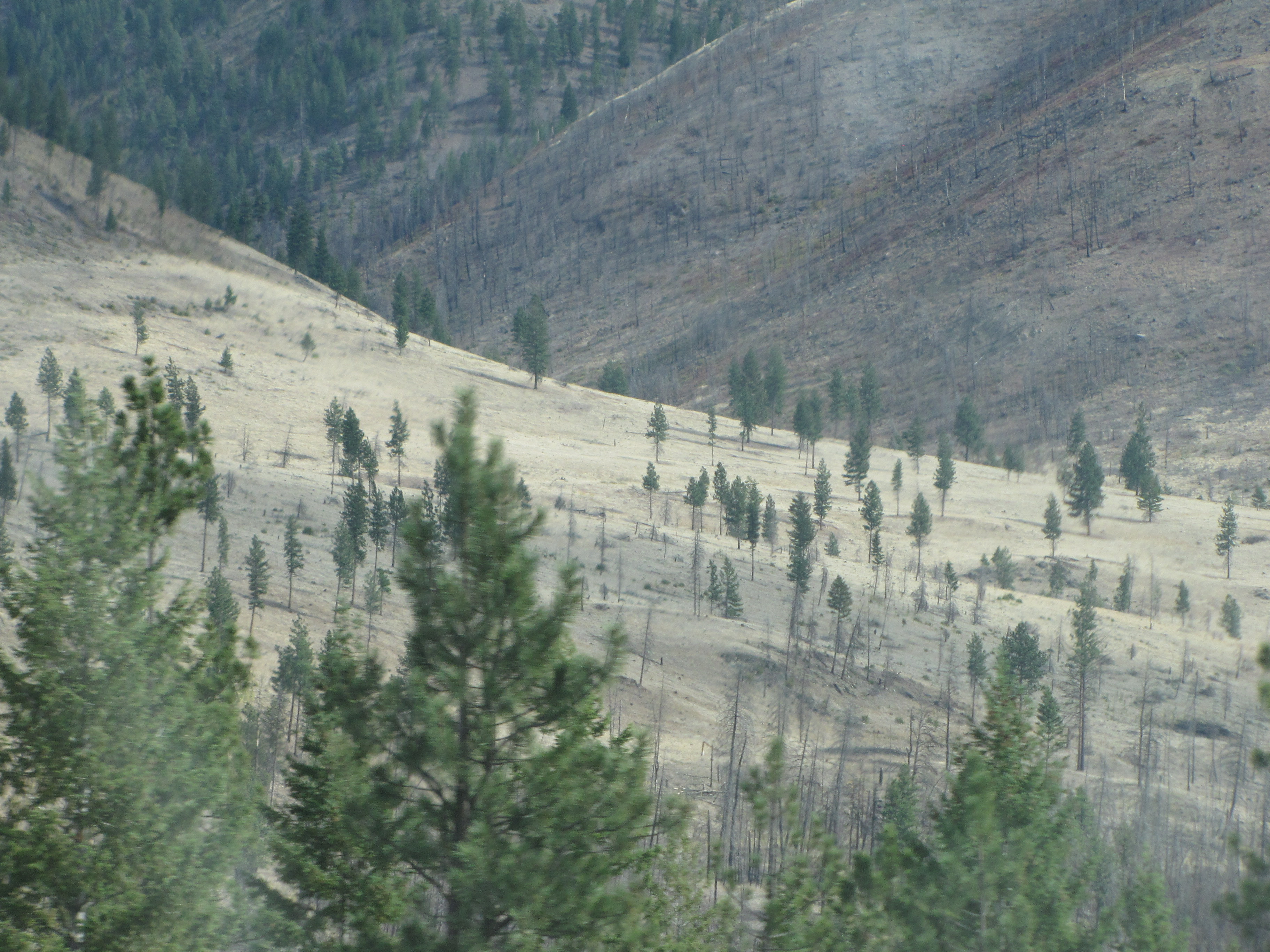
The landscape has now changed dramatically. Instead of lush forests, we see these almost-bare hills with a few trees on them. This is makai of the town of Superior near Spring Gulch. I think this shot kinda looks like a sleeping dragon with ridges on his back.
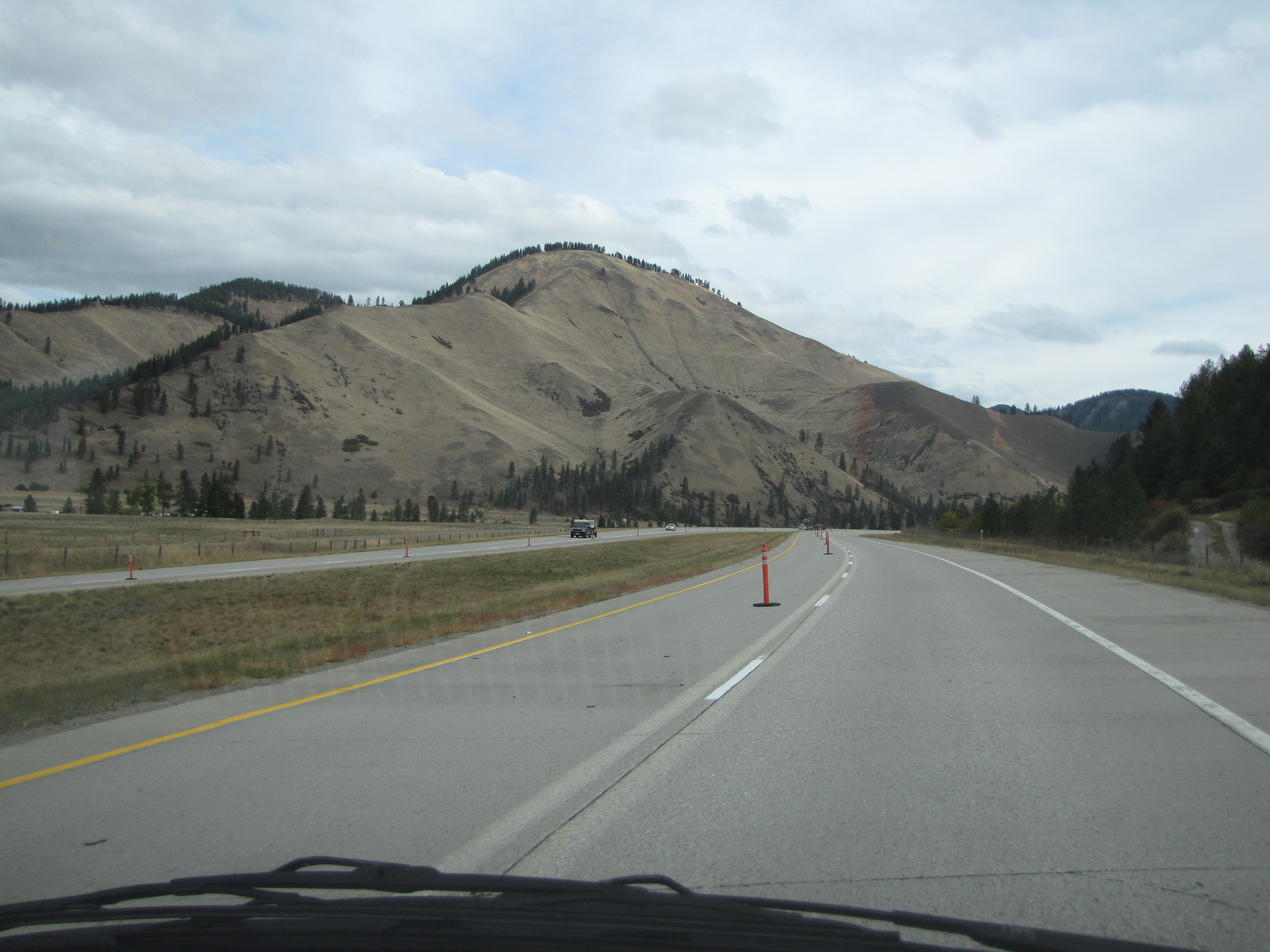
We’re now six miles makai of Superior. Get ready: one surprise coming up!
Still near Spring Gulch; also near Southside Road. Interesting da hills, yeah? We’d never seen anything like this before now. But that’s not the surprise.
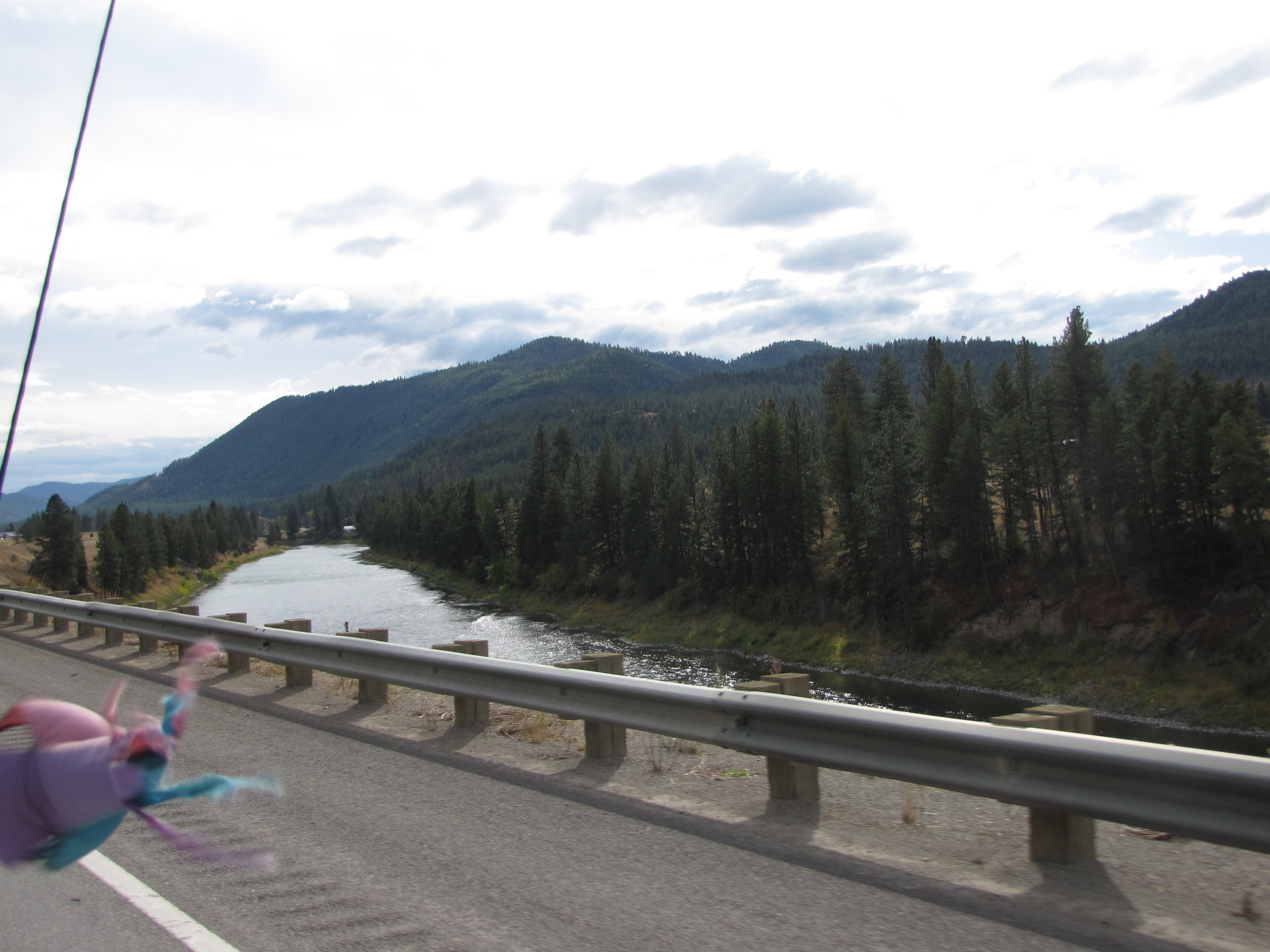
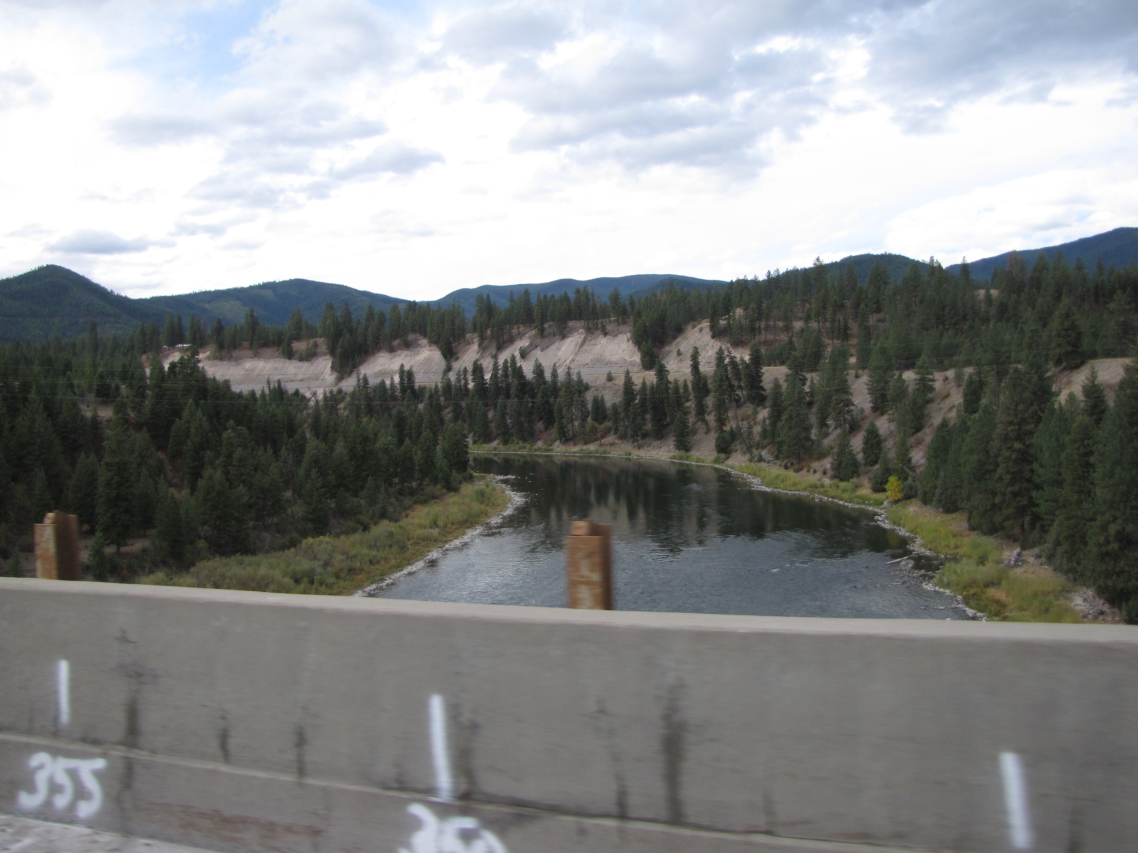
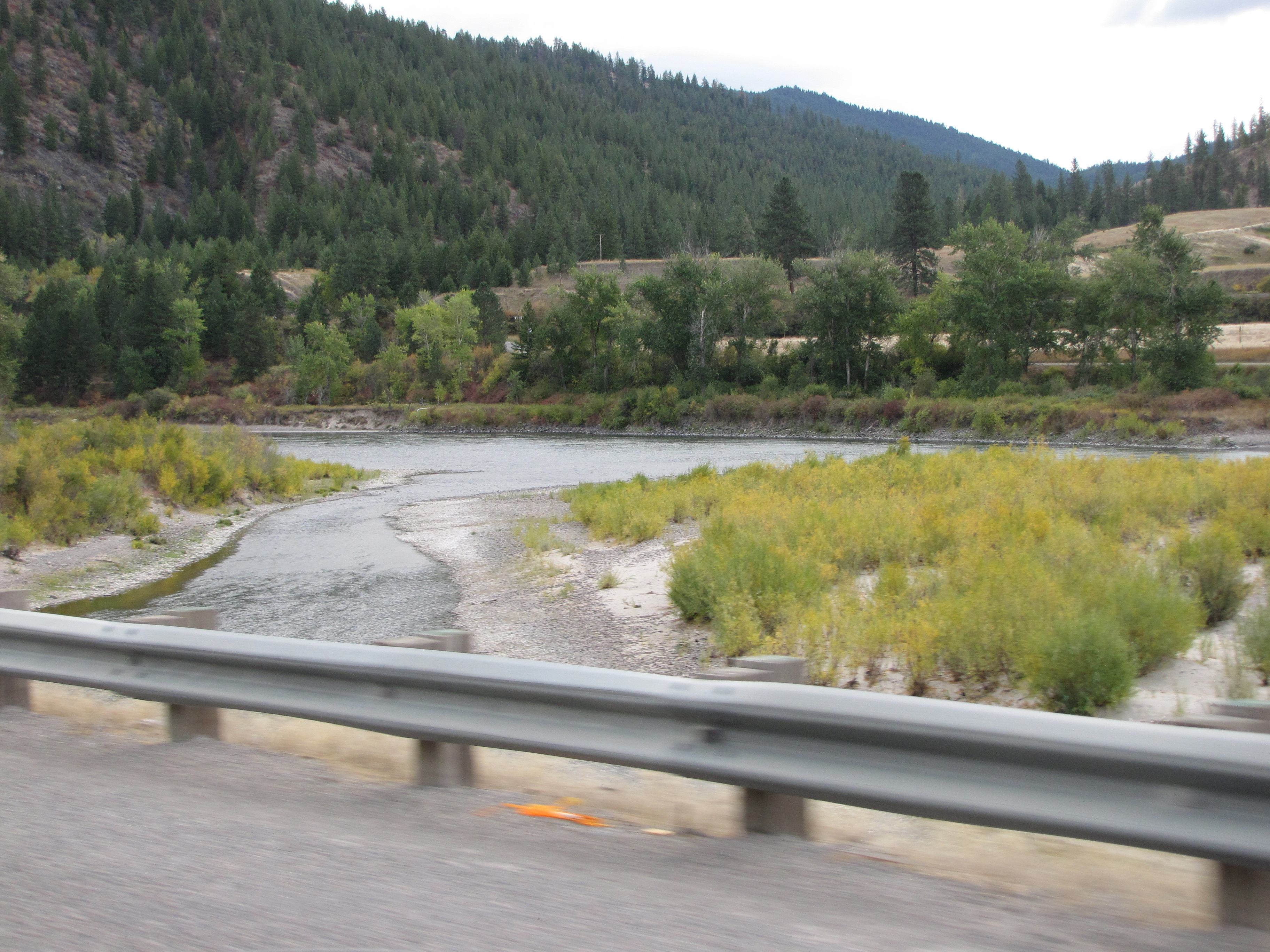
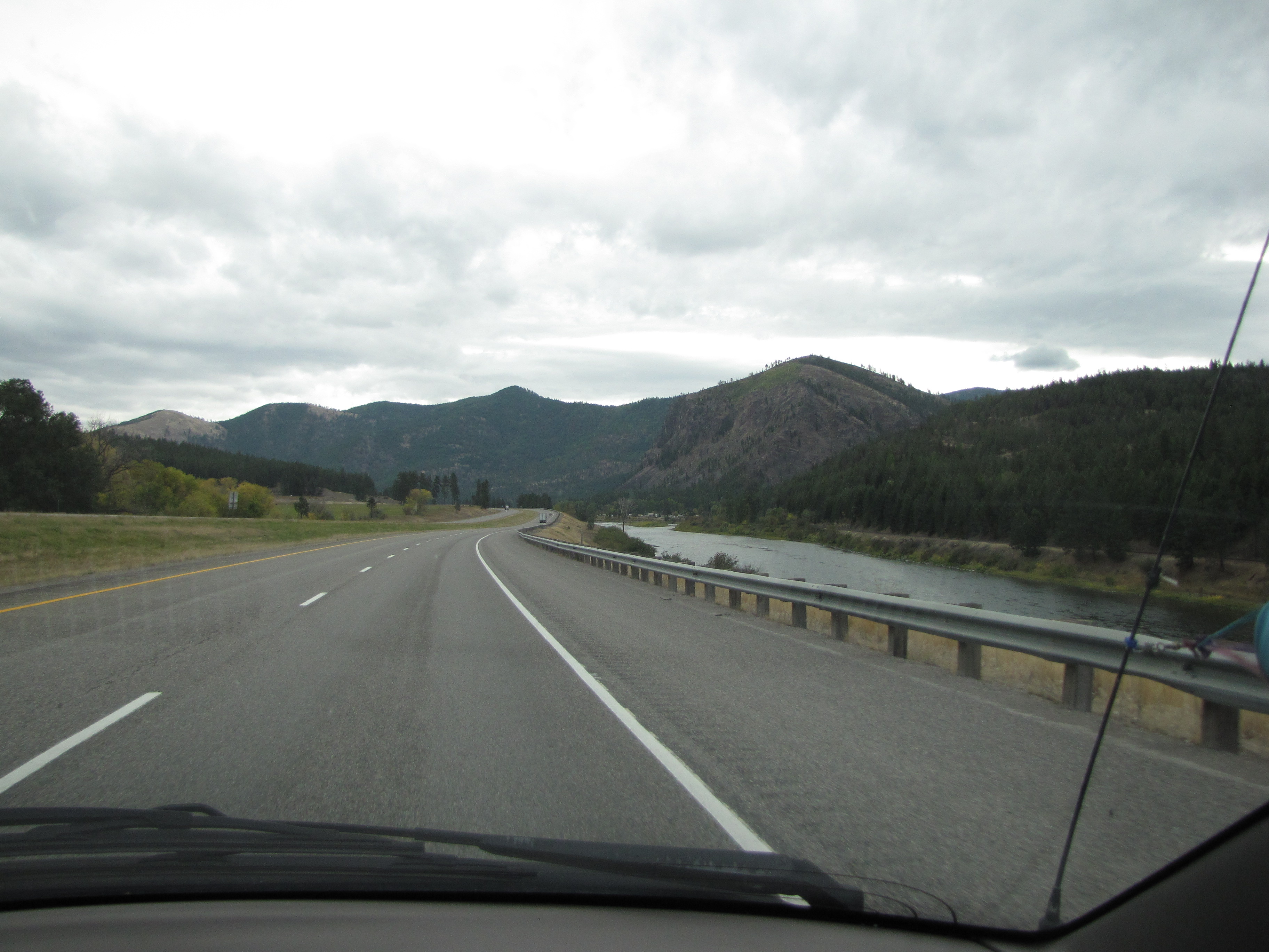
The Clark Fork River. So beautiful!
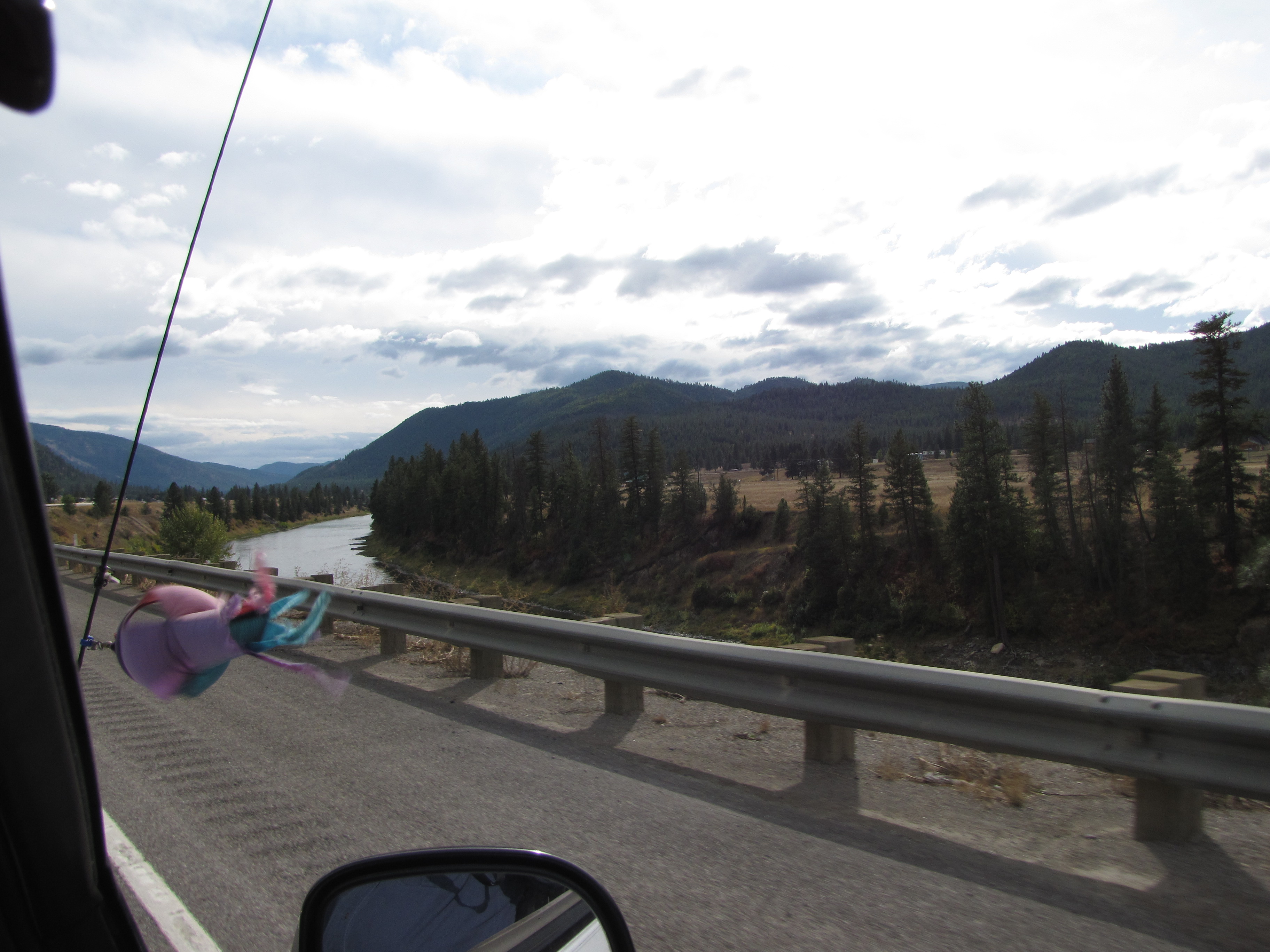
Another fabulous view of the Clark Fork River. We were to cross the river over and over again as it meandered its way down to Oregon. It’s now 10:04 a.m.
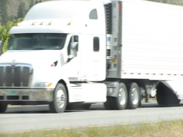
No laugh! This is a photo of the tiny town of Superior. What? It doesn’t look like a town? You think it looks like a semi? Well, okay, you’re right. Just as we drove past the town, so did the semi. So this is the only photo of Superior that we got. Ahahahaha.
Now here’s the surprise… a video! No laugh what I said about Montana. Told you!
This is at milepost 53. Try look the spinner in real-time action! Try look TryLook with Musubi cuddled up next to her! Try look Montana!!!
It was actually fairly warm outside. Except for the wind.
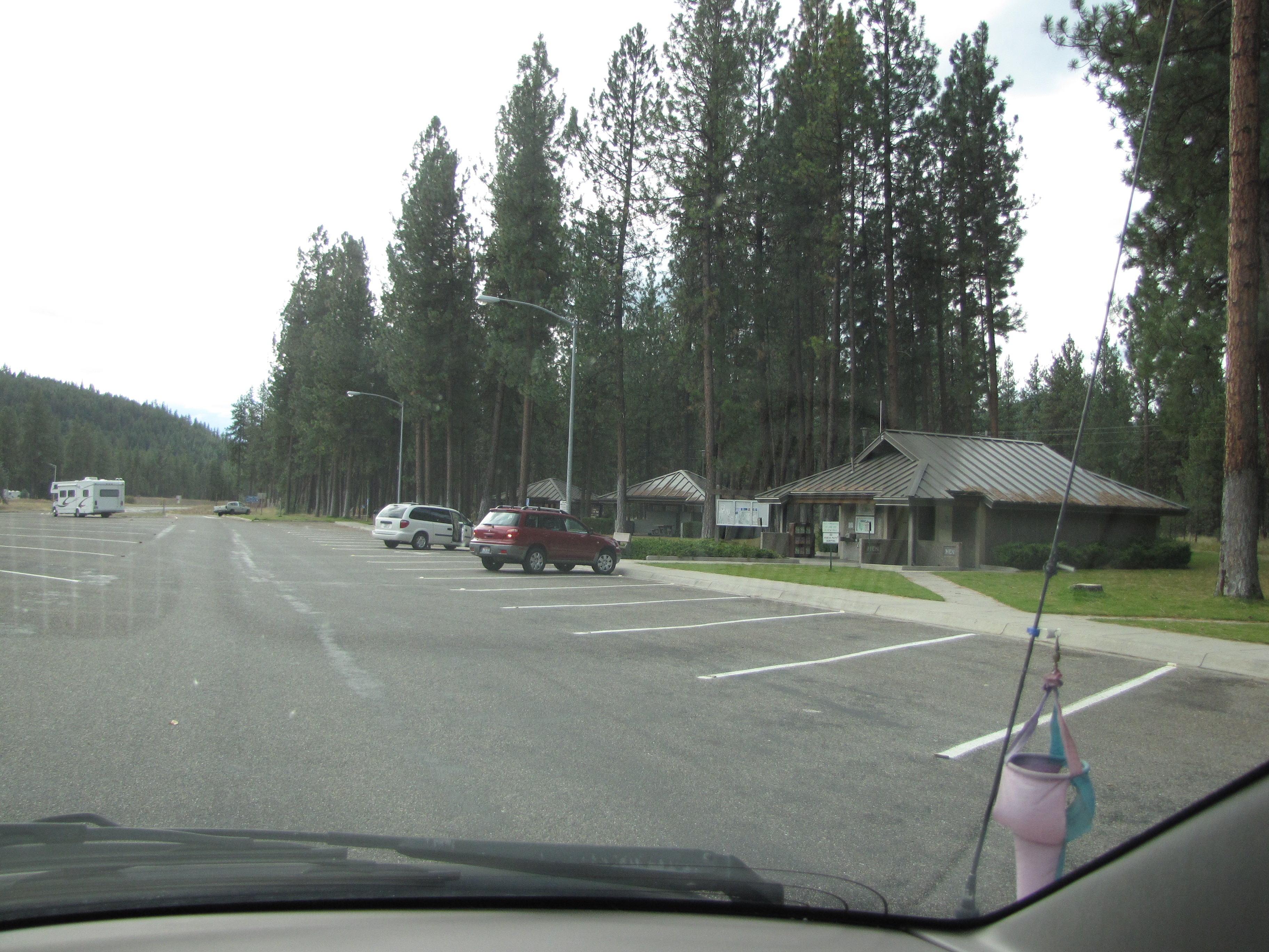
We stopped briefly at this nice rest stop just a bit further from where we took the video.
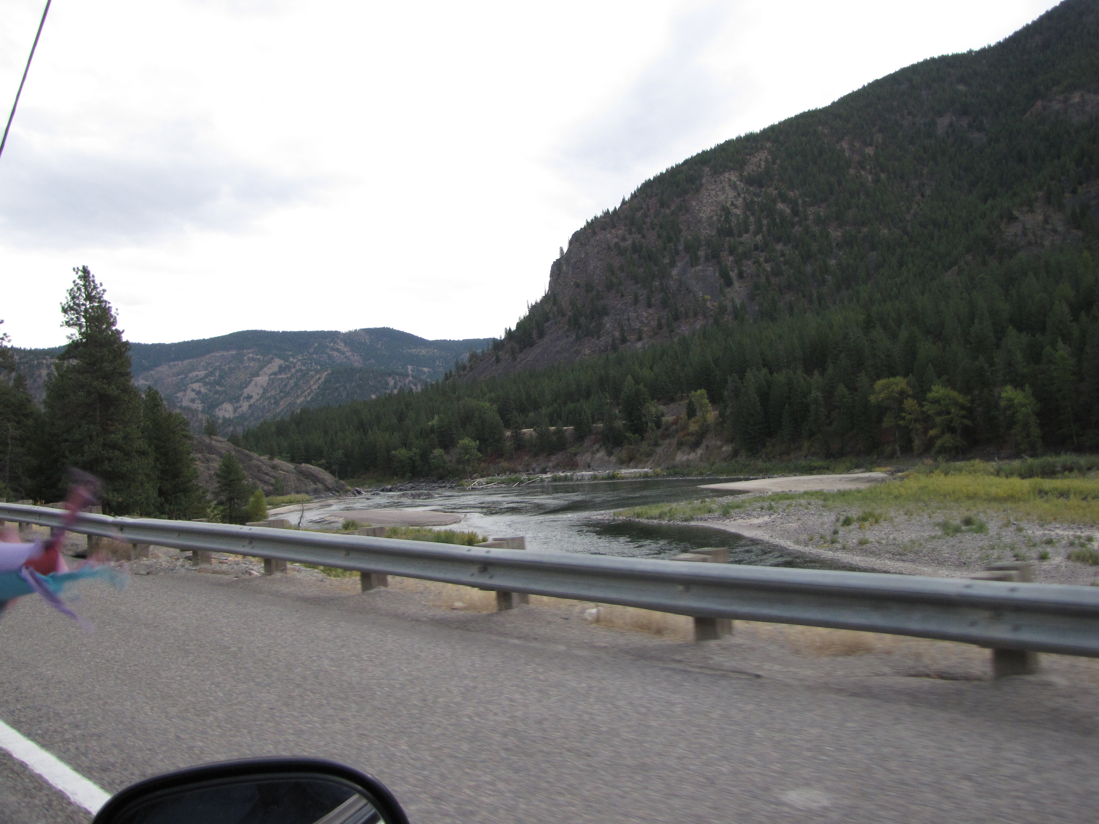
Then we crossed the Clark Fork River yet again!
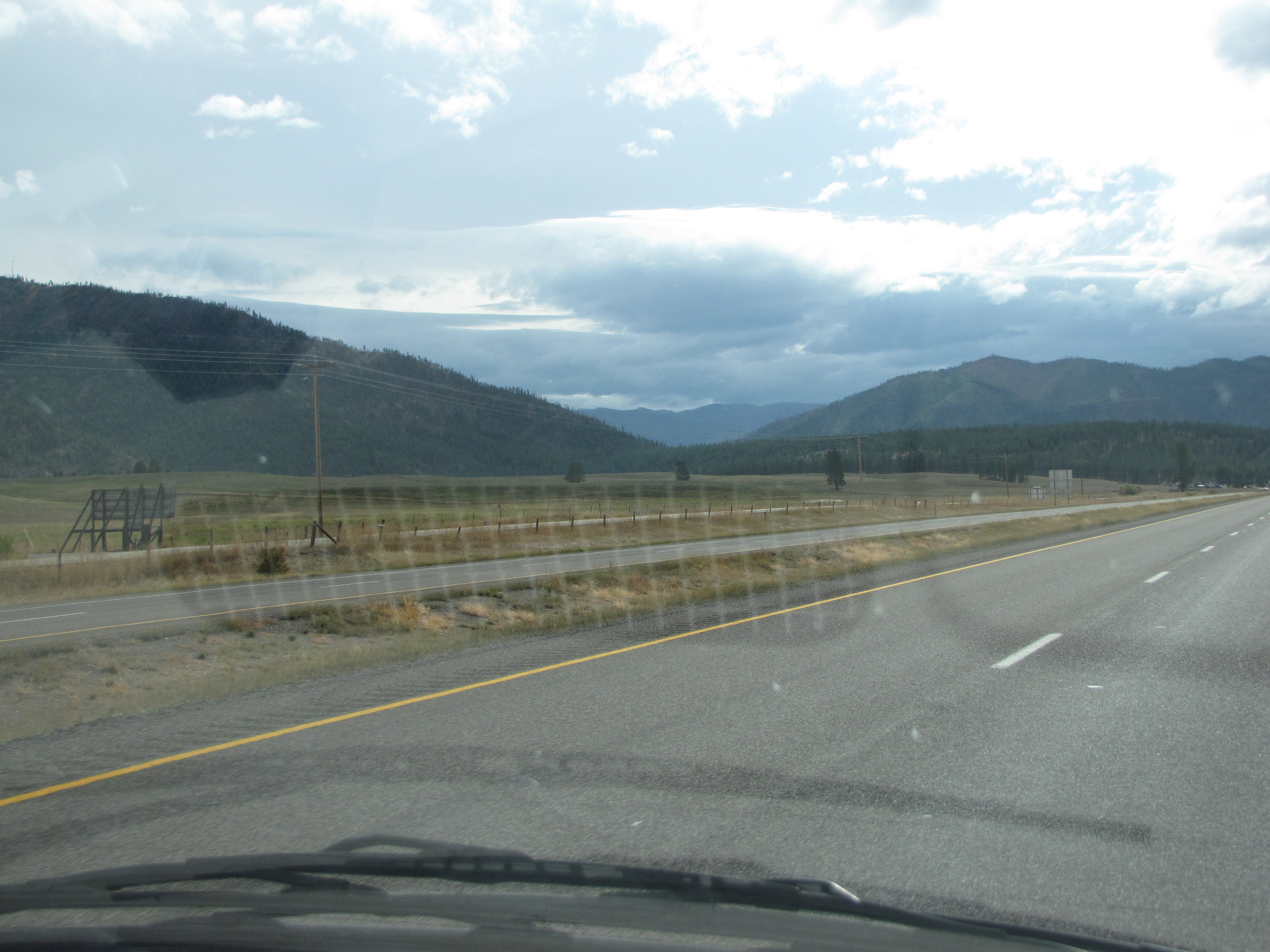
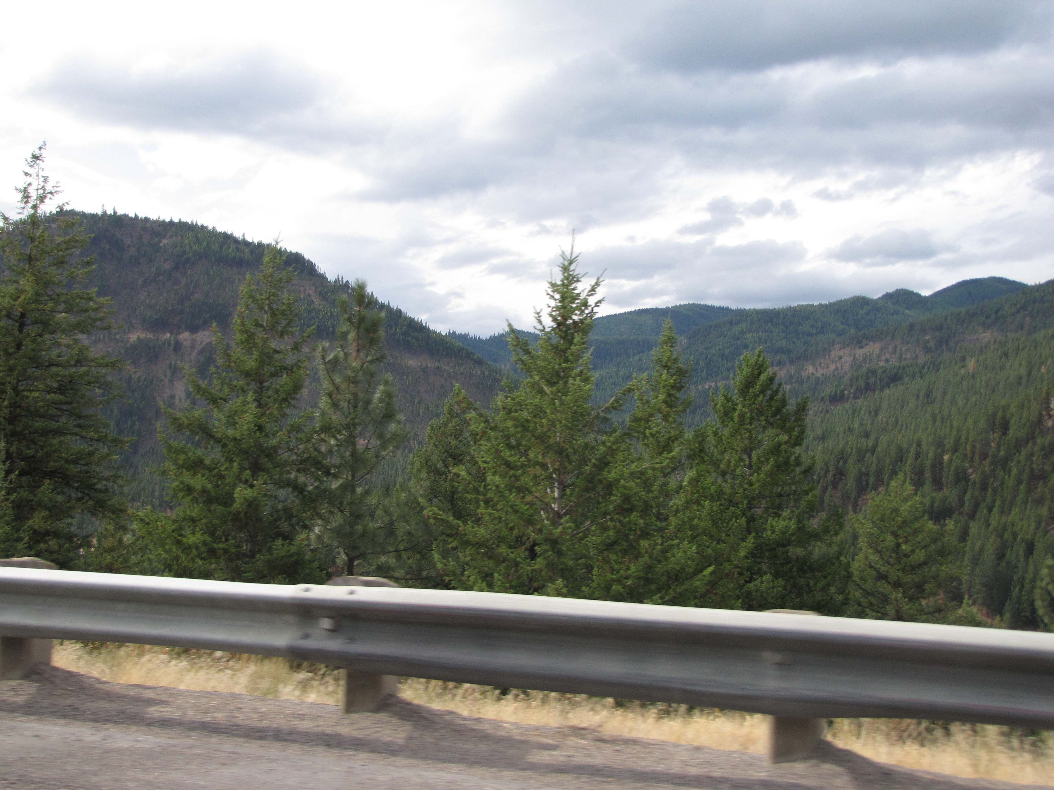
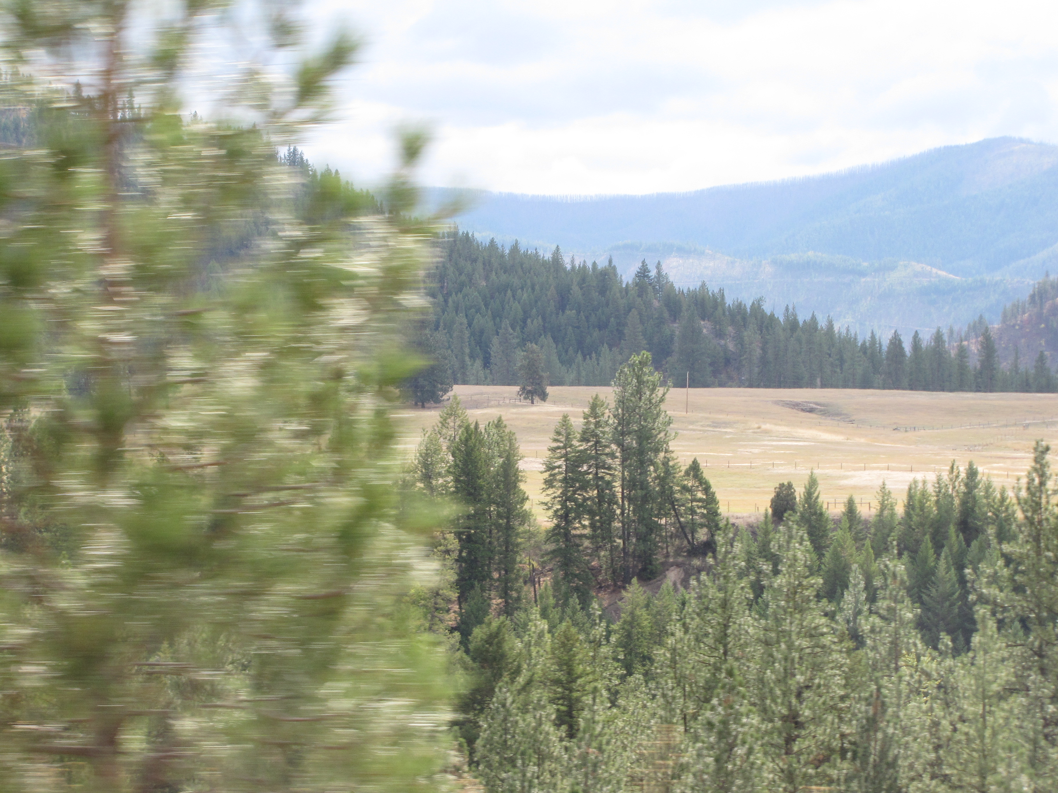
A lovely view of a meadow and forest near the Tarkio exit 55.
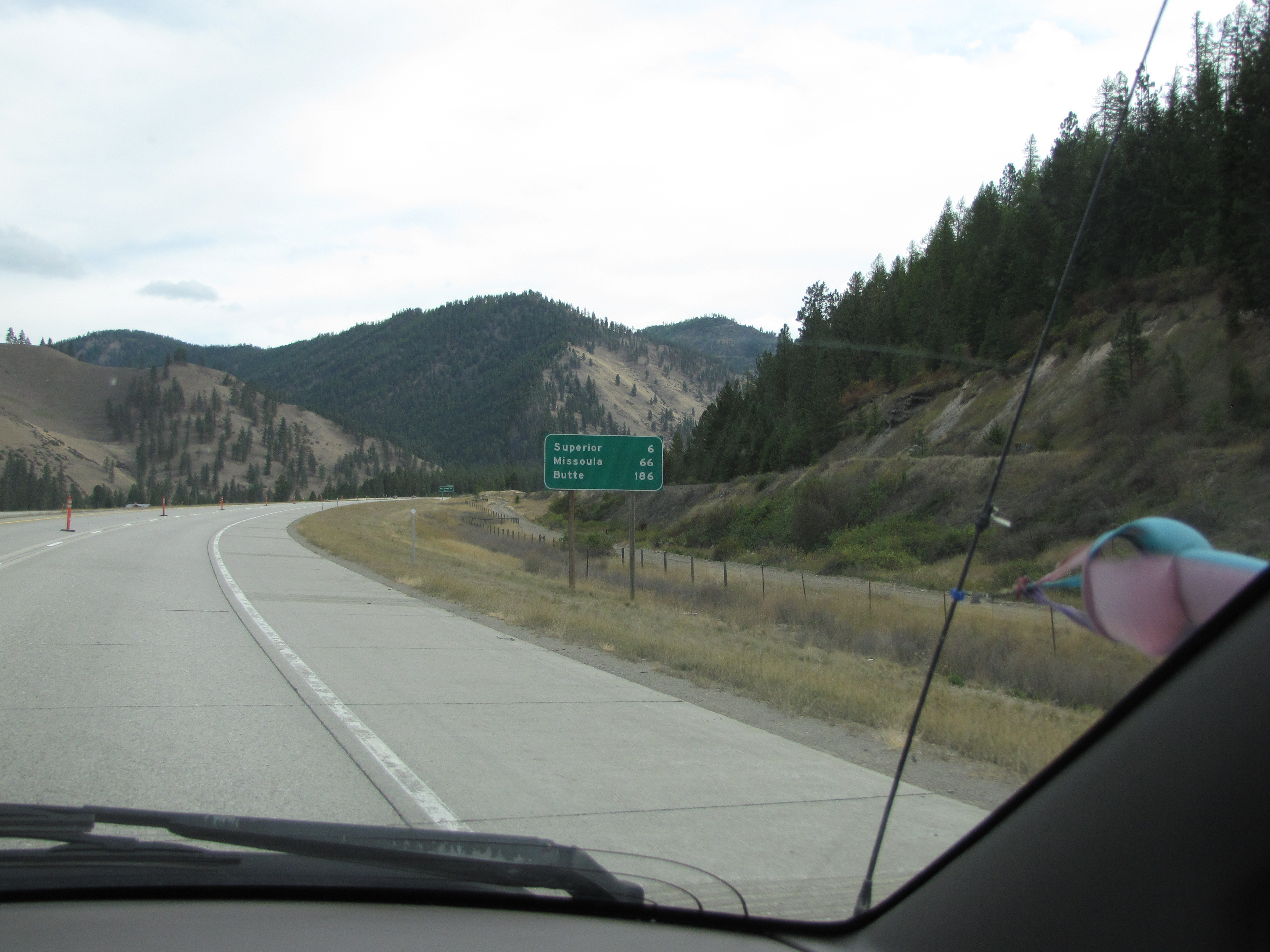
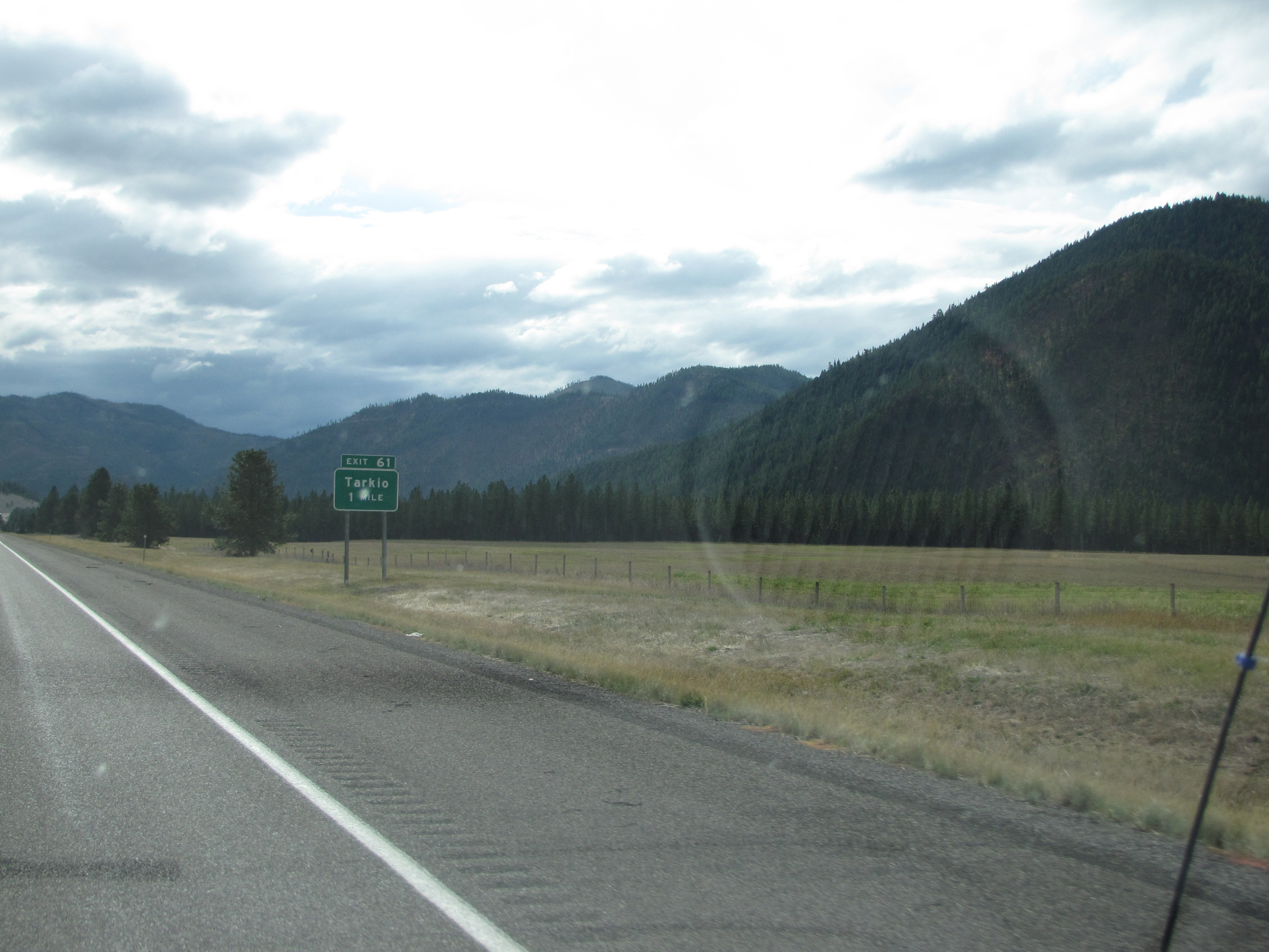
To Tarkio – exit 61. The elevation is 2936′ here and it’s in the heart of mining country.
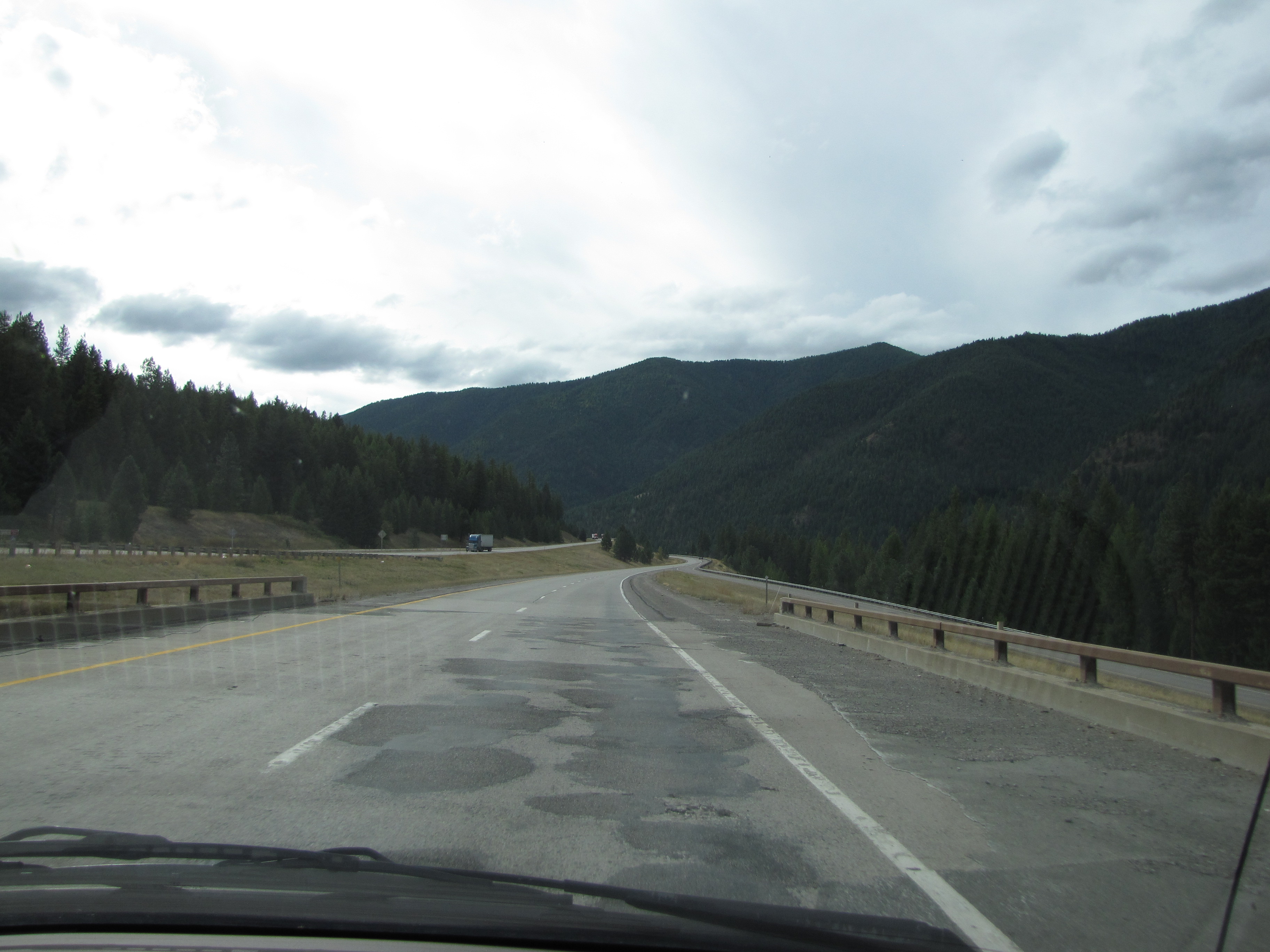
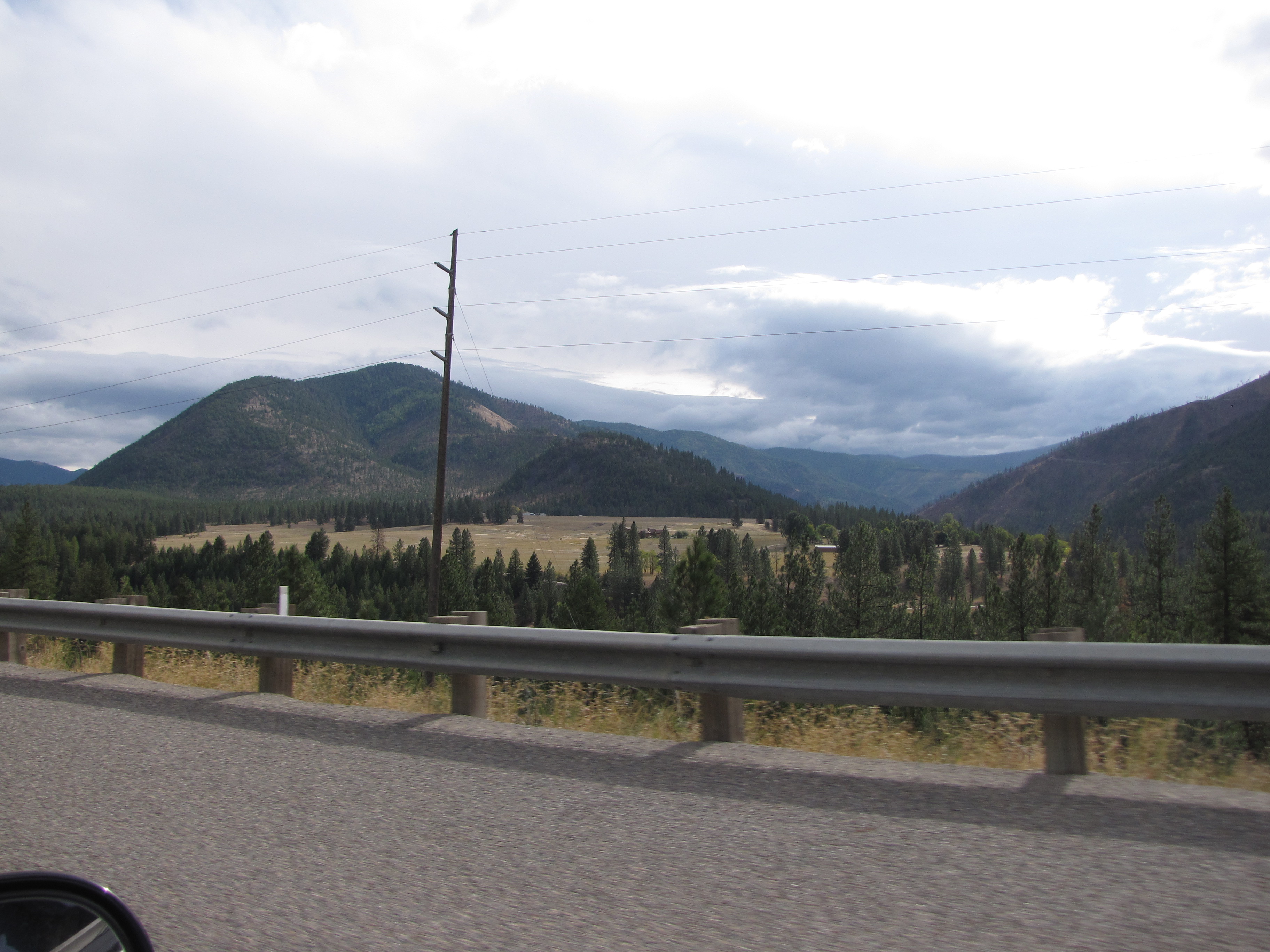
Now we’re back in the mountains again, beginning to turn east (map coming at da end), and southeast of Tarkio.
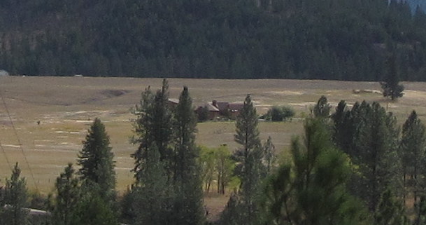
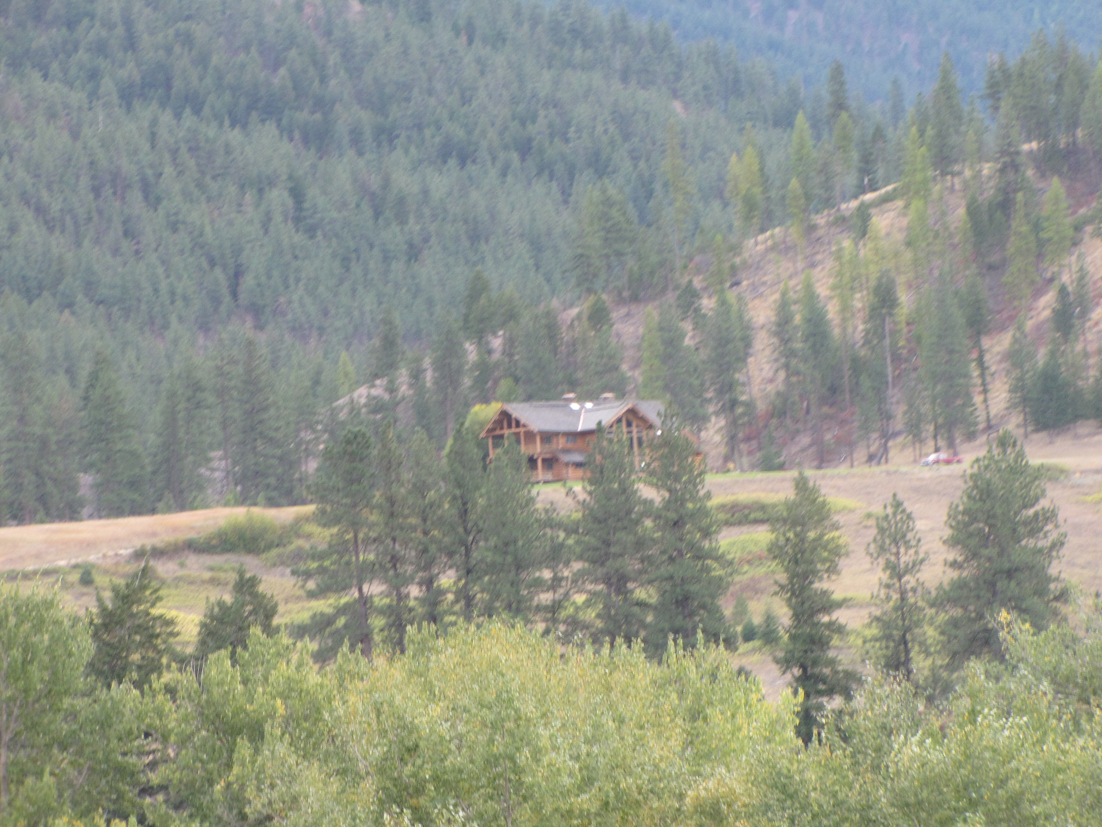
Across the meadow was a pretty amazing house; this is near Fish Creek. Again I wondered what it was like living out there. It’s pretty isolated!
My hānai sis Kikue will totally get it when I stay that what I’d really like to do is ride a horse across this beautiful land. I can just see the two of us together. Maybe not ” ’round the Ko‘olau Hills we’d ride on horseback’ “, but riding together just the same.
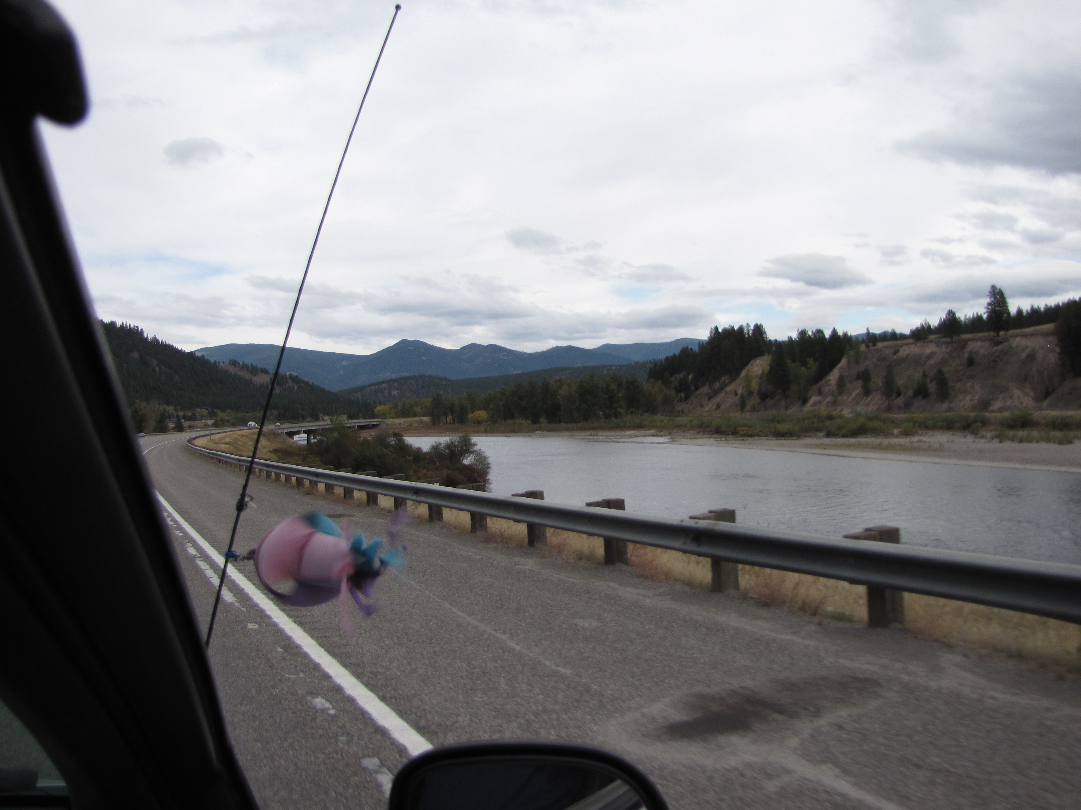
Guess what? We’re just about to cross the Clark Fork River again!
A little bit more close to the bridge.
Near Fish Creek Road. This scenery is really intriguing to me.
Really nice house up on the hill. When we drive to different places and see different houses or homesteads, my good friend Julie and I like to make up stories about who the people were who lived in them. Usually it’s for old or abandoned places, not like this one. Though give us half a chance and we could do this one, too.
A couple of close-up views of the Clark Fork River near the town of Cyr.
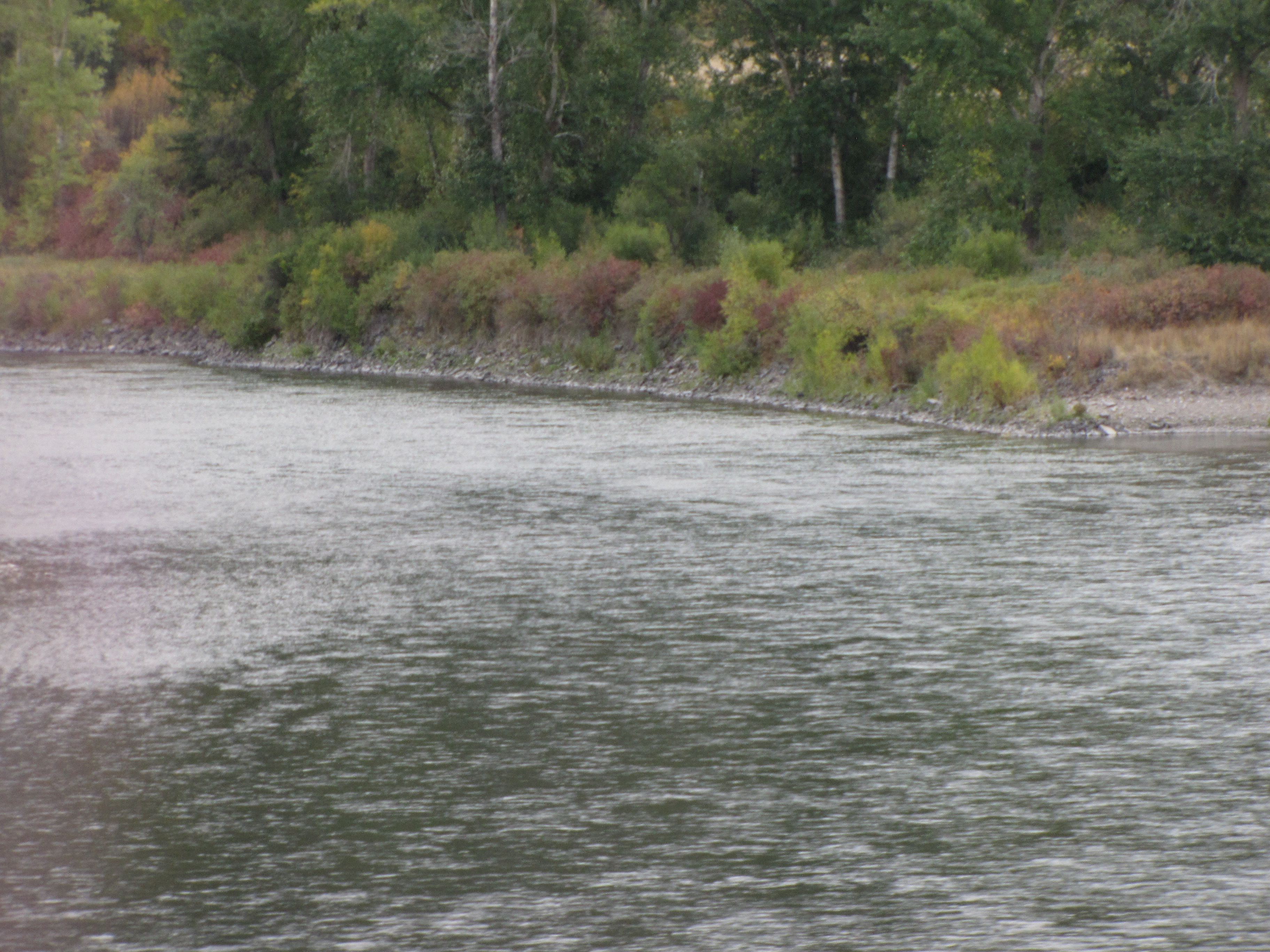
Now we’re just a bit east of Cyr, and the Clark Fork stays right with us. Or do we stay with it? I think the latter, yeah?
We follow the Clark Fork, and now we’re just makai of Alberton.
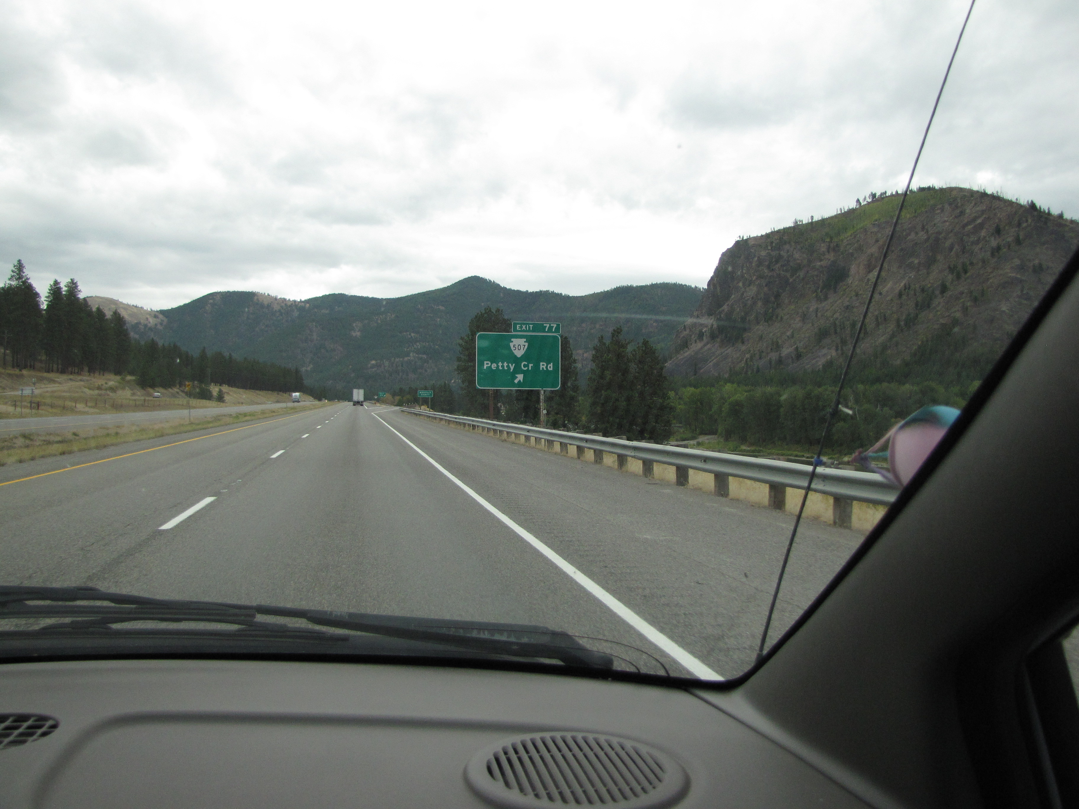
Exit for Petty Creek Road just east of Alberton.
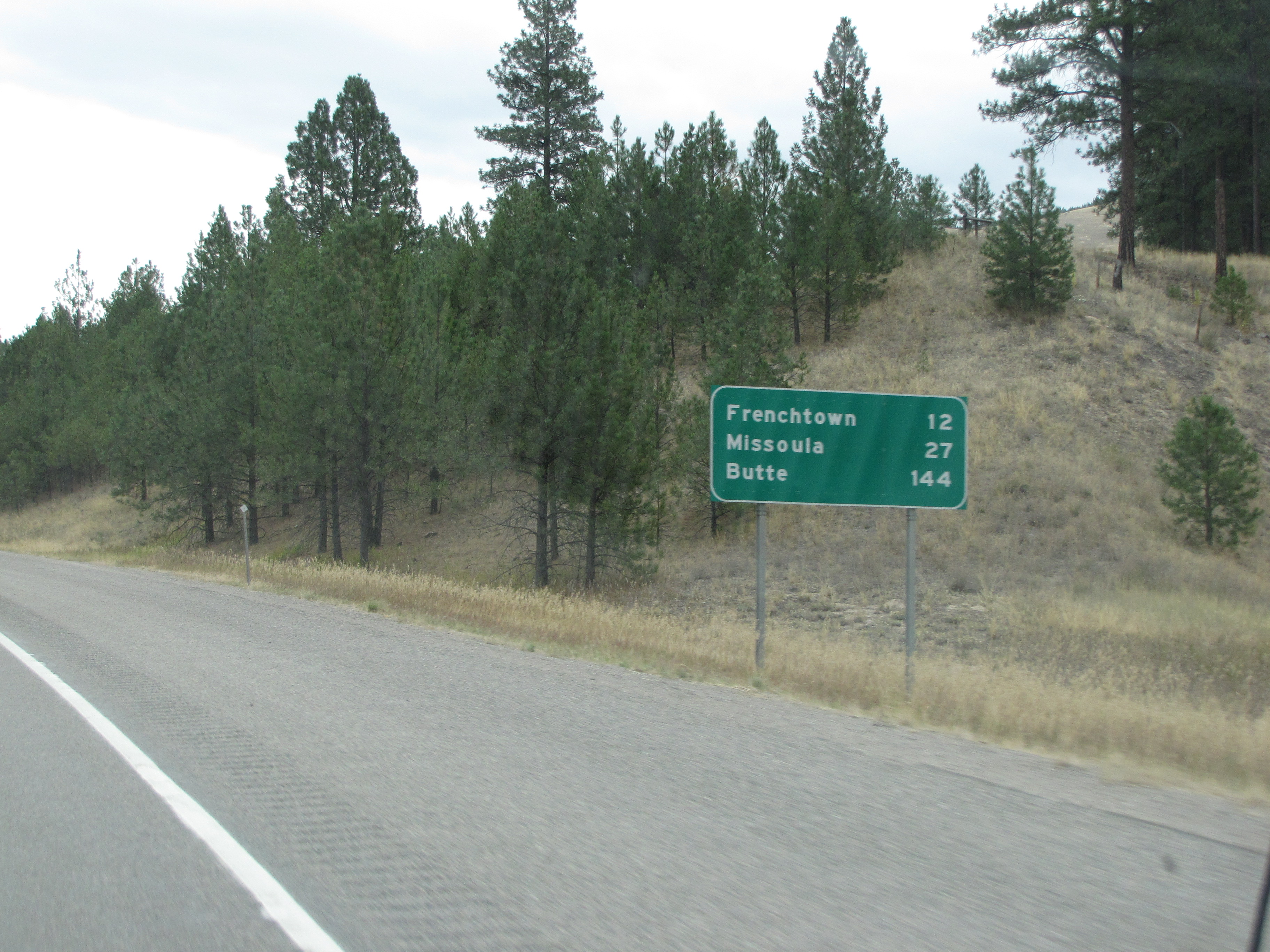
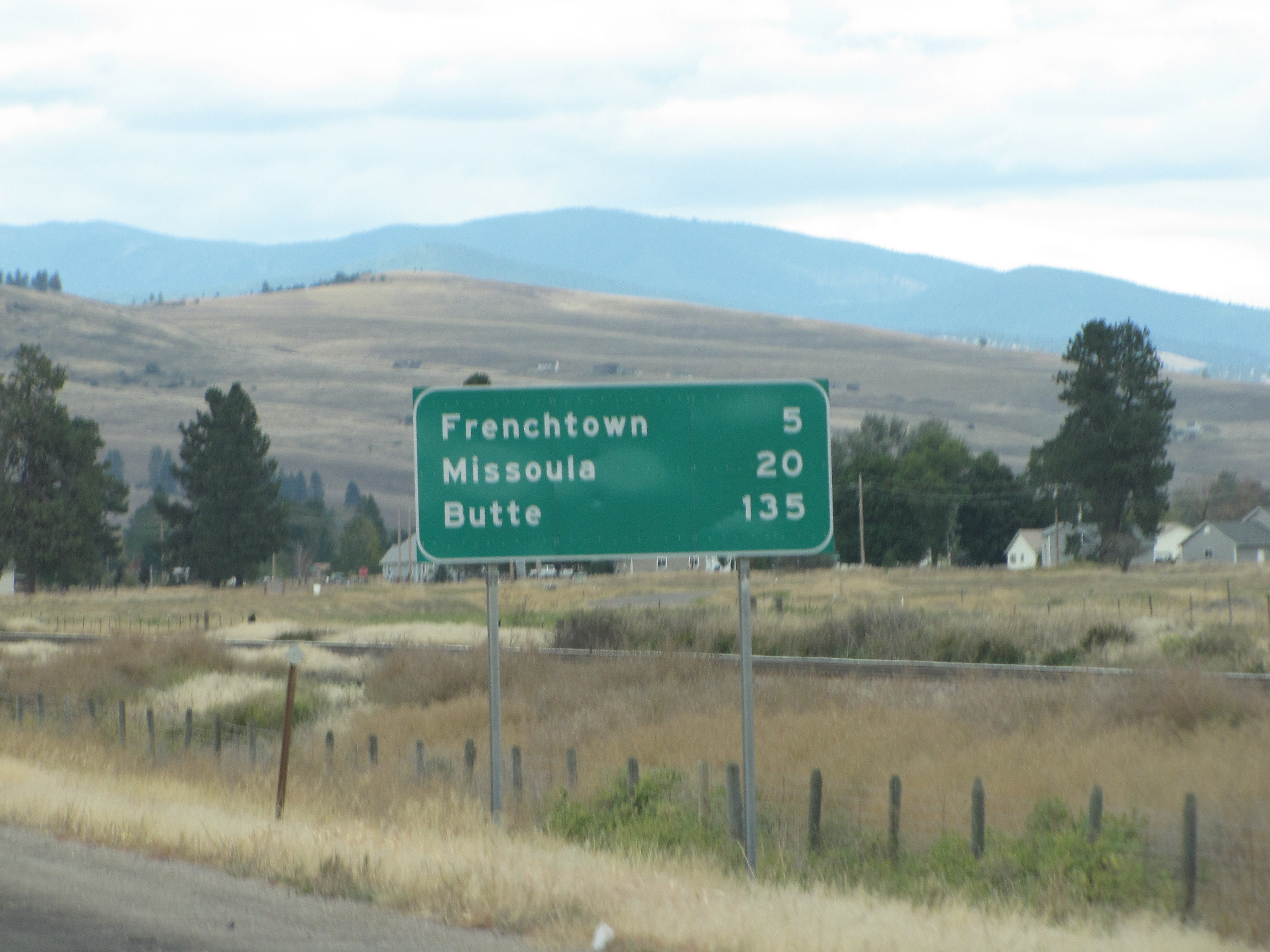
We’re now getting close to Frenchtown; I have a friend whose mom lives there.
By now the Clark Fork River feels like an old friend.
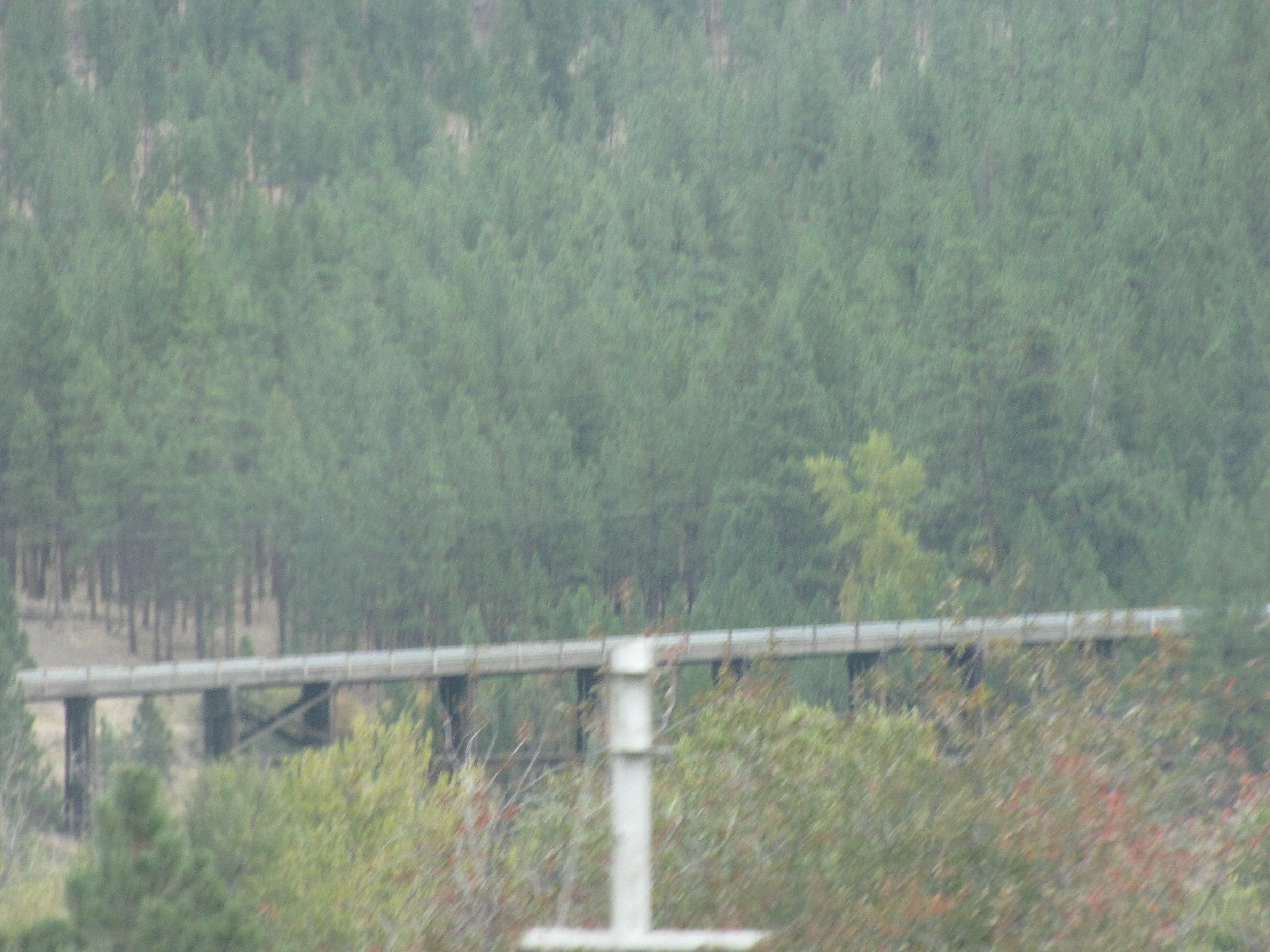
A railroad trestle near Nine Mile Road. Perfection would’ve been having a train crossing it right then!
Just five miles makai of Frenchtown. Nice country this.
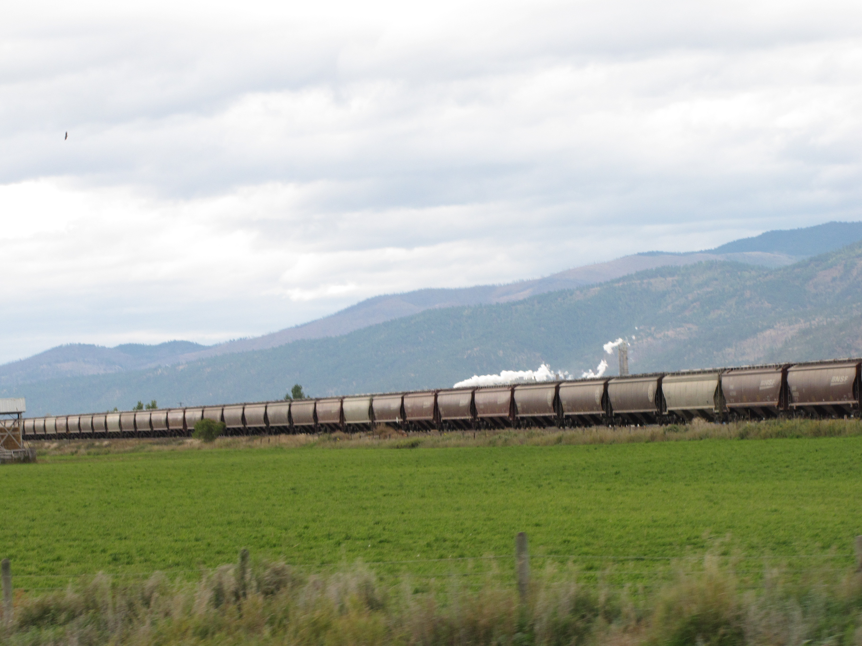
Whoo hoo! A train!!
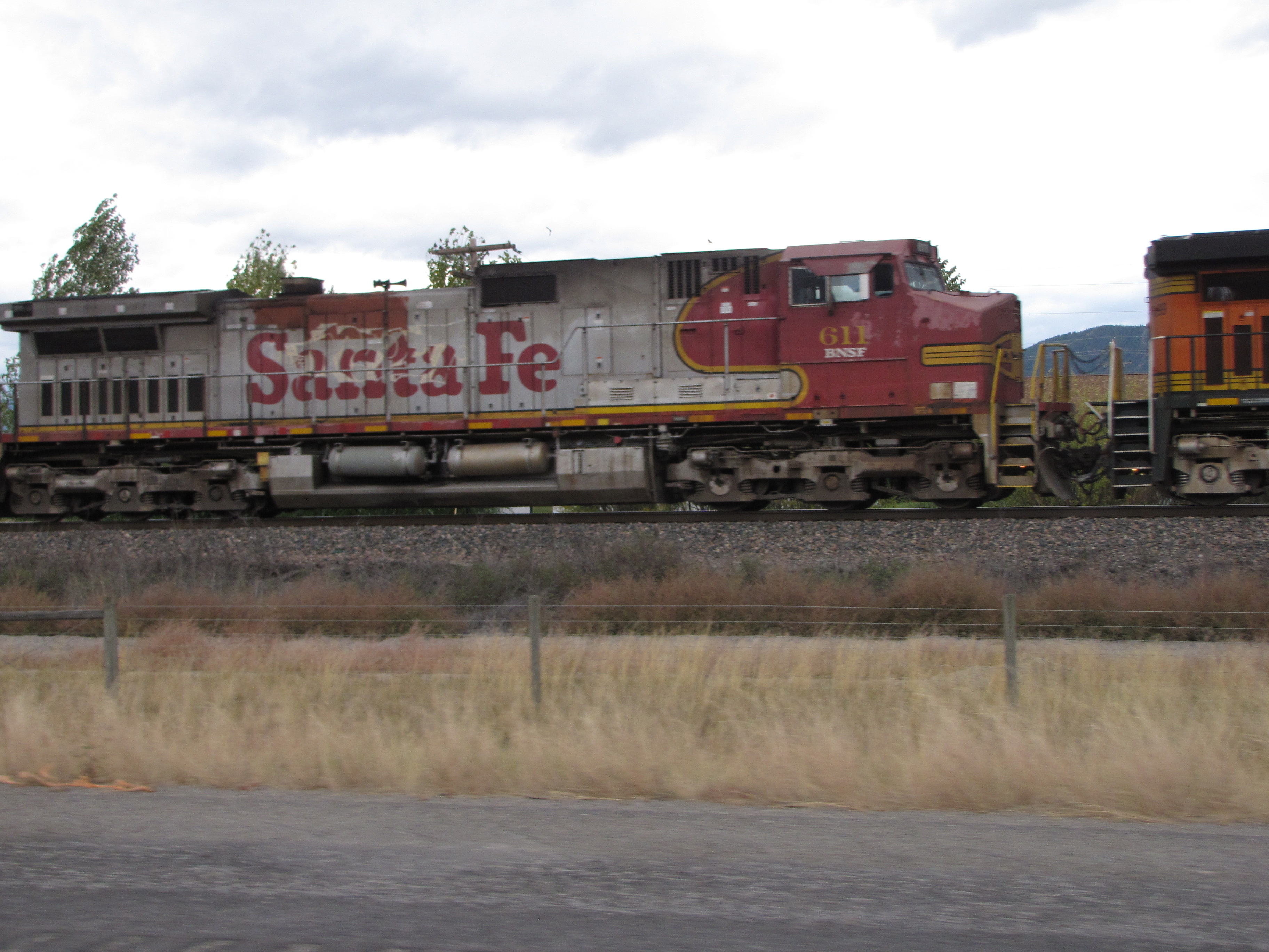
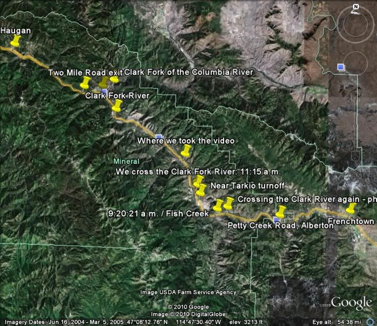
A really long train!! A fitting end to this chapter of the trip, except for the map showing you folks where we were this time. It was now 11:40 a.m.
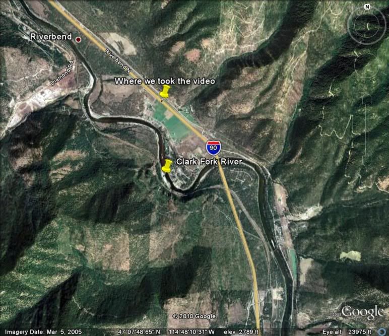
Here’s a close-up showing part of where we were, including the Clark Fork River and where we took the video.
And here’s the whole trip this time.
Try wait, AFK! Get plenny pīpī next time!

I like that you keep crossing the Clark Fork River – it reminds me of always crossing the Soleduck (“Solduc”) River when I’m on the Olympic Peninsula. Beautiful countryside. Okay, okay, I’m da babooze waiting in suspense for da pipi pix!
When I think of Montana I think of the REAL country. What I mean is Montana is vast and just plain ole BIG. The wilderness is to die for. I have friends, a pastor friend who used to pastor a church in GA. He and his family packed up an headed out to the wide open spaces in Montana because he is a hunter. They used to send beautiful photographs of how grand and great that state is… and talk about wild life! I must get out there and see what that part of the great Americas looks like. As I look at your pics, and yes, the video too, I realize I have itchy feet to get out there and see too!
And yes, I can just imagine you and I galloping over the plains, riding off into the sunset. Such a beautiful photo that would make!
It DEFINITELY looked like a sleepng Dragon! Maybe it Was!!!
I loved the video! Thank you :-}
I am gettign hungry for a road trip too. Maybe this summer Oscar and I can go somewhere.
Oooooh, you’re making me antsy for a road trip. I think I’ll go now, during tax season, while the crazies are all at work. 😉
It is strange for me to see so much brown in the landscape-I’m so used to all the green we have here in warm weather. Your photos are wonderful-it is truly a great country we have. You make me want to travel too.~Debra