Nothing like being 10,000 months behind on this post!! It’s hard to believe that our third trip to Montana was so long ago! It seems like just yesterday in so many ways, but it was thirteen whole years ago!! I wish I could slow time down sometimes. But here we go again; it was another road trip of a lifetime. I have no idea how long it’s going to take me to get the whole journey down… poco a poco for sure. Because you know, life…
We started out at mile zero on September 19th. We wanted to leave as late as possible to see all the fall foliage on our trip, but early enough so that we could go on a very special highway in Montana before it closed for the winter.

Musubi was ready! Here we go down the driveway.
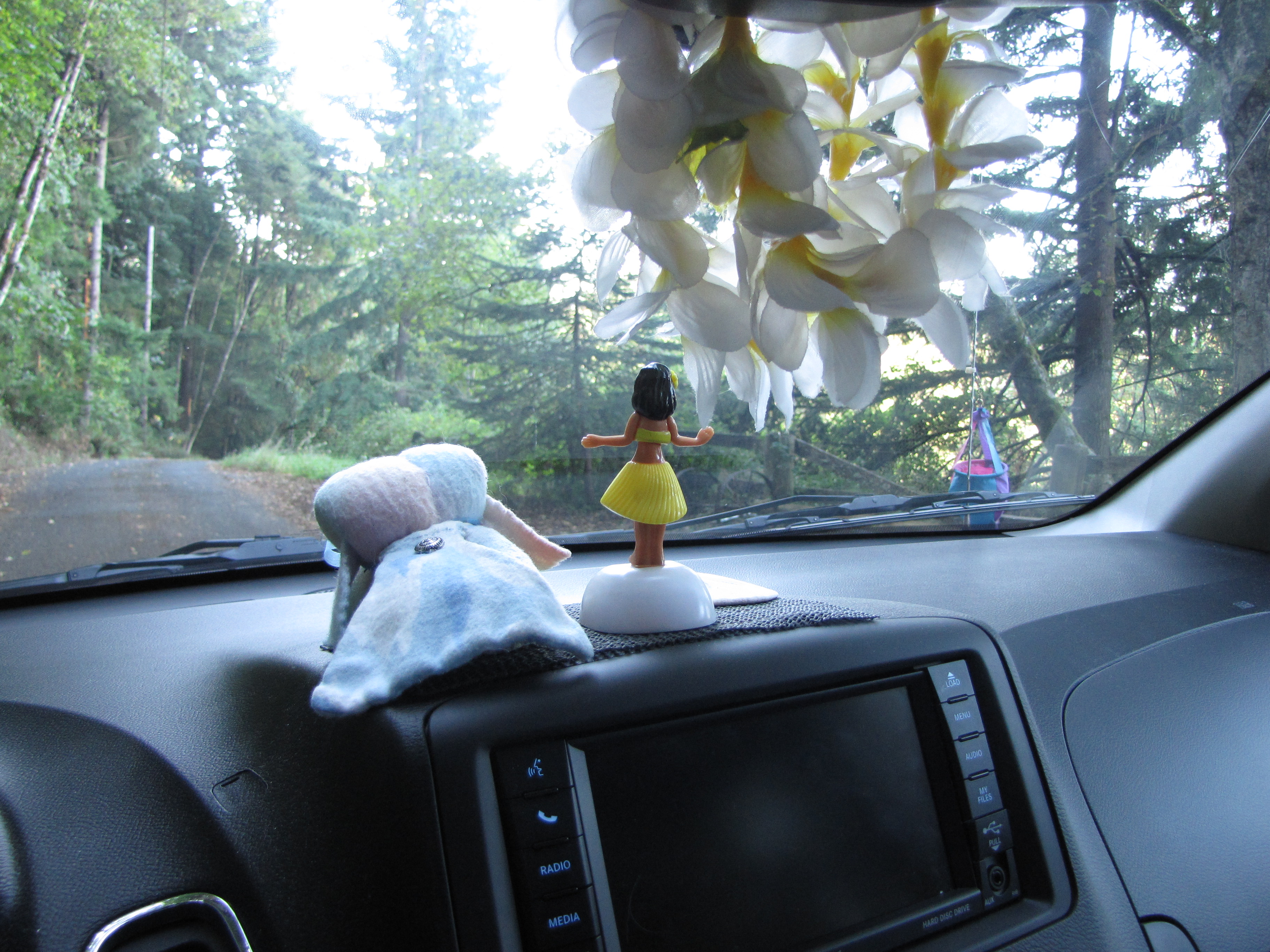
I’d really been missing my dad, and I decided to kinda take him along with us because I knew he’d love, love, love, going along. Wai maka, bittersweet, for sure. This is one of the photos I have of the two of us when I was little.
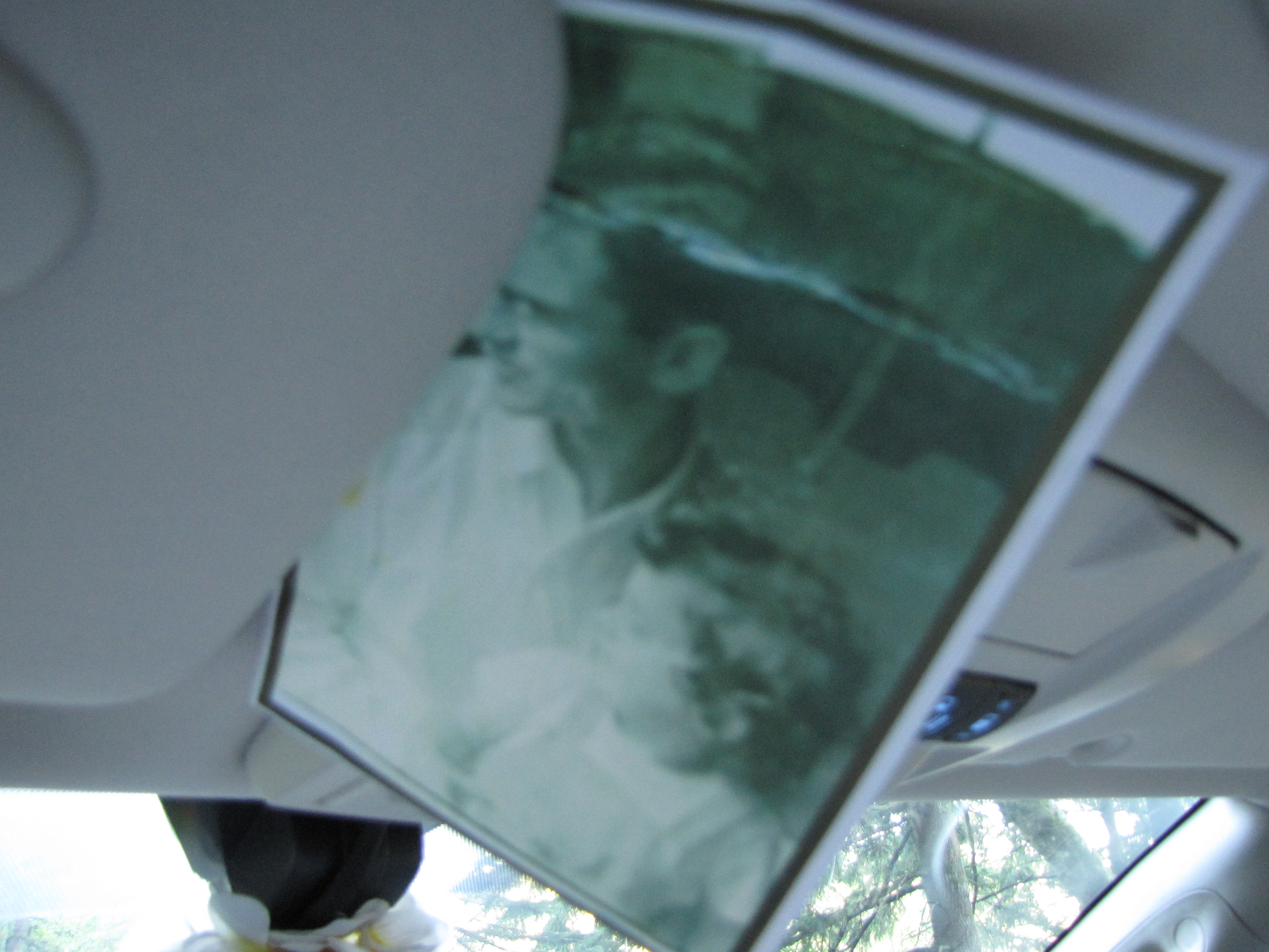
This time, Kukui stayed with Julie, who would also take care of our cats and my bird.
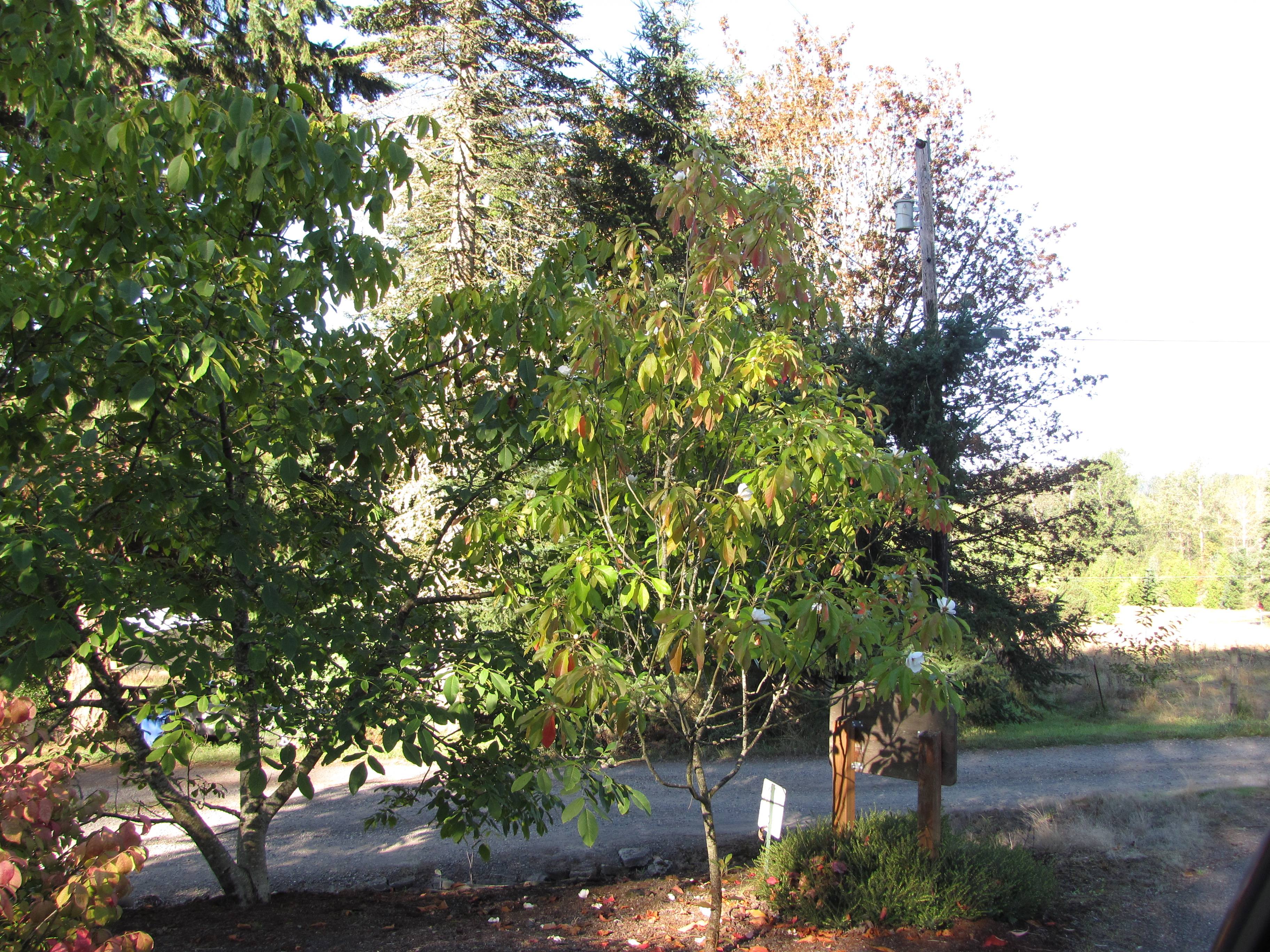
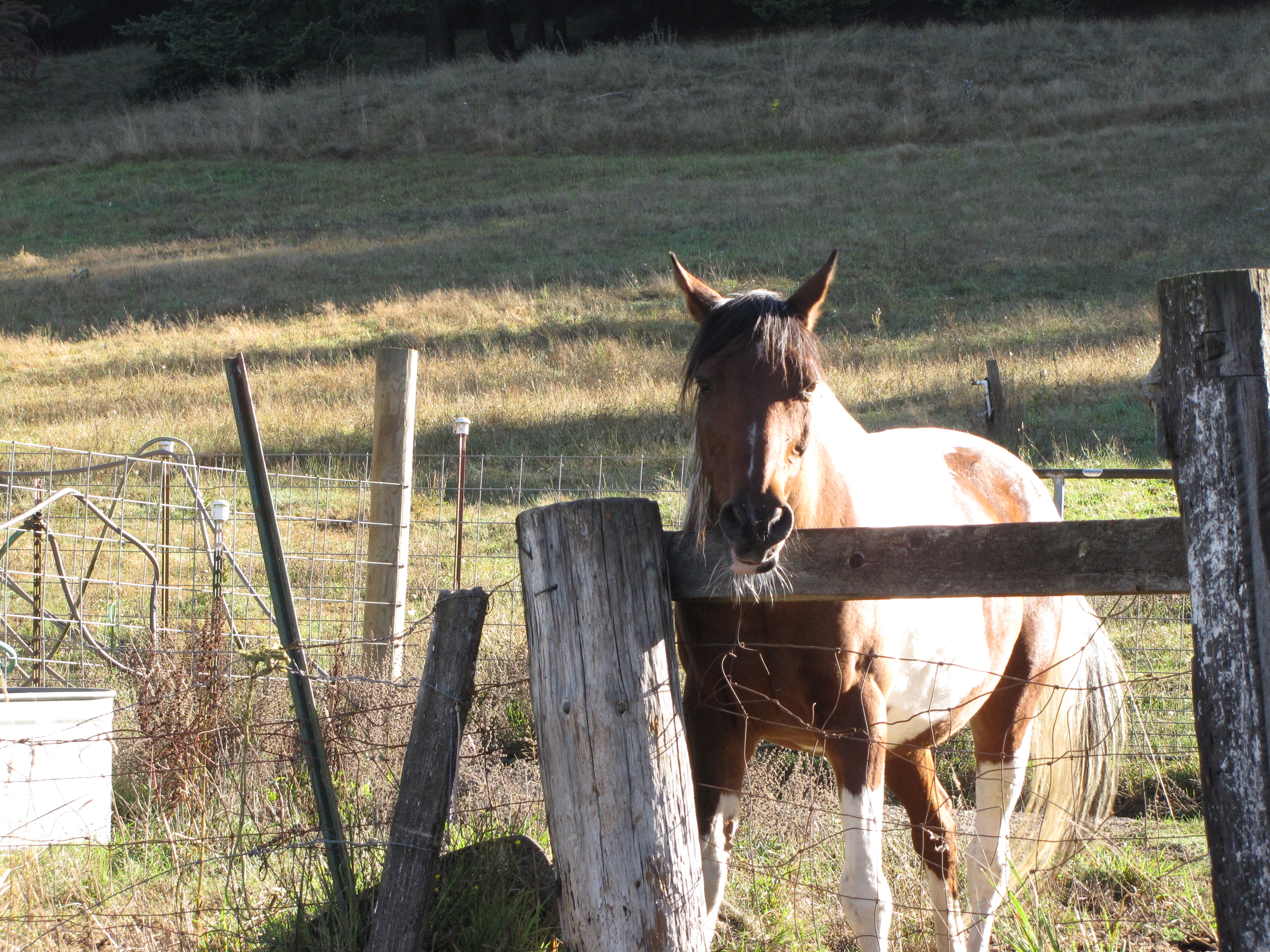
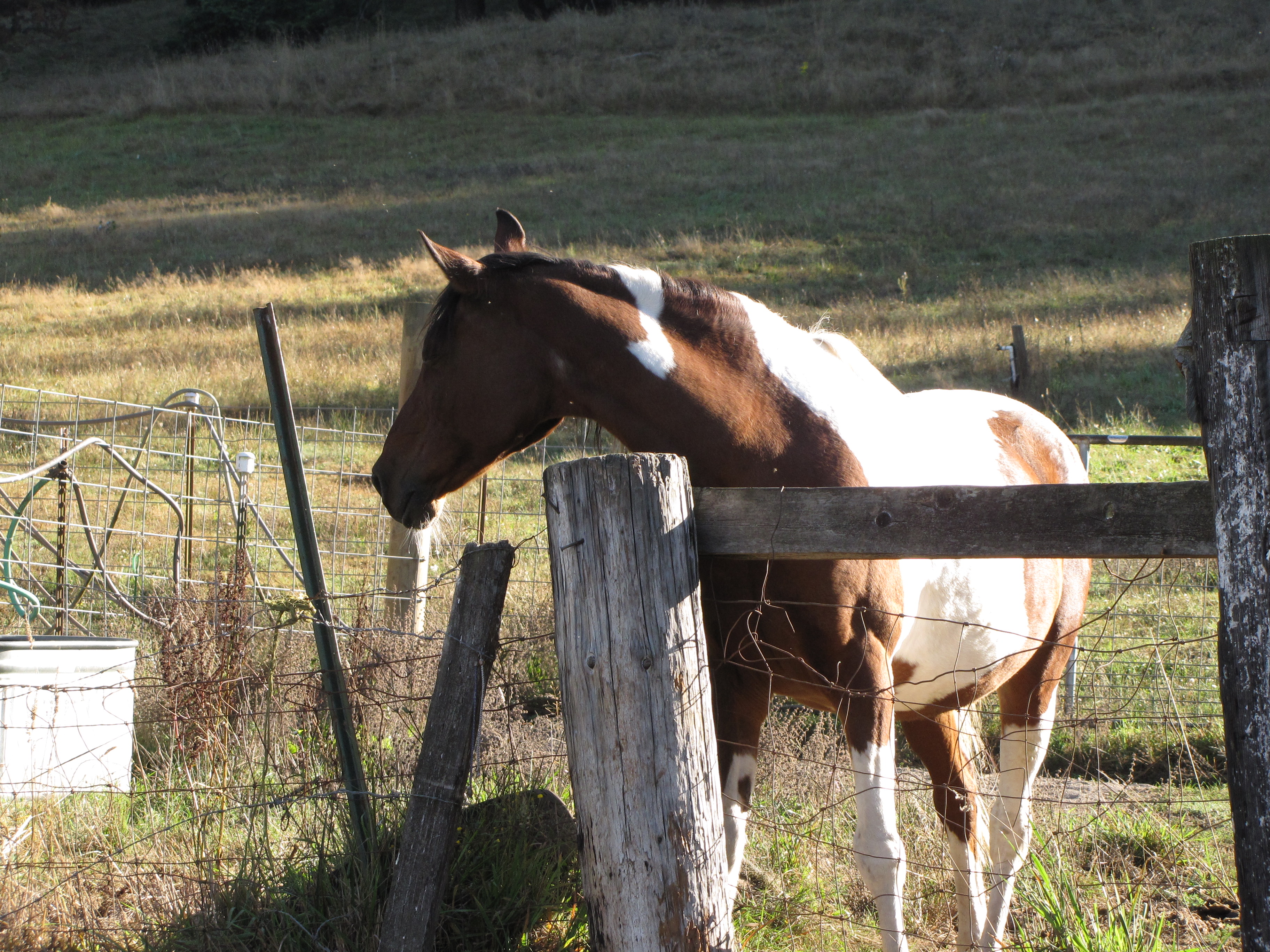
Nolemana closed and locked our driveway gate behind us and took these photos when we stopped for coffee.
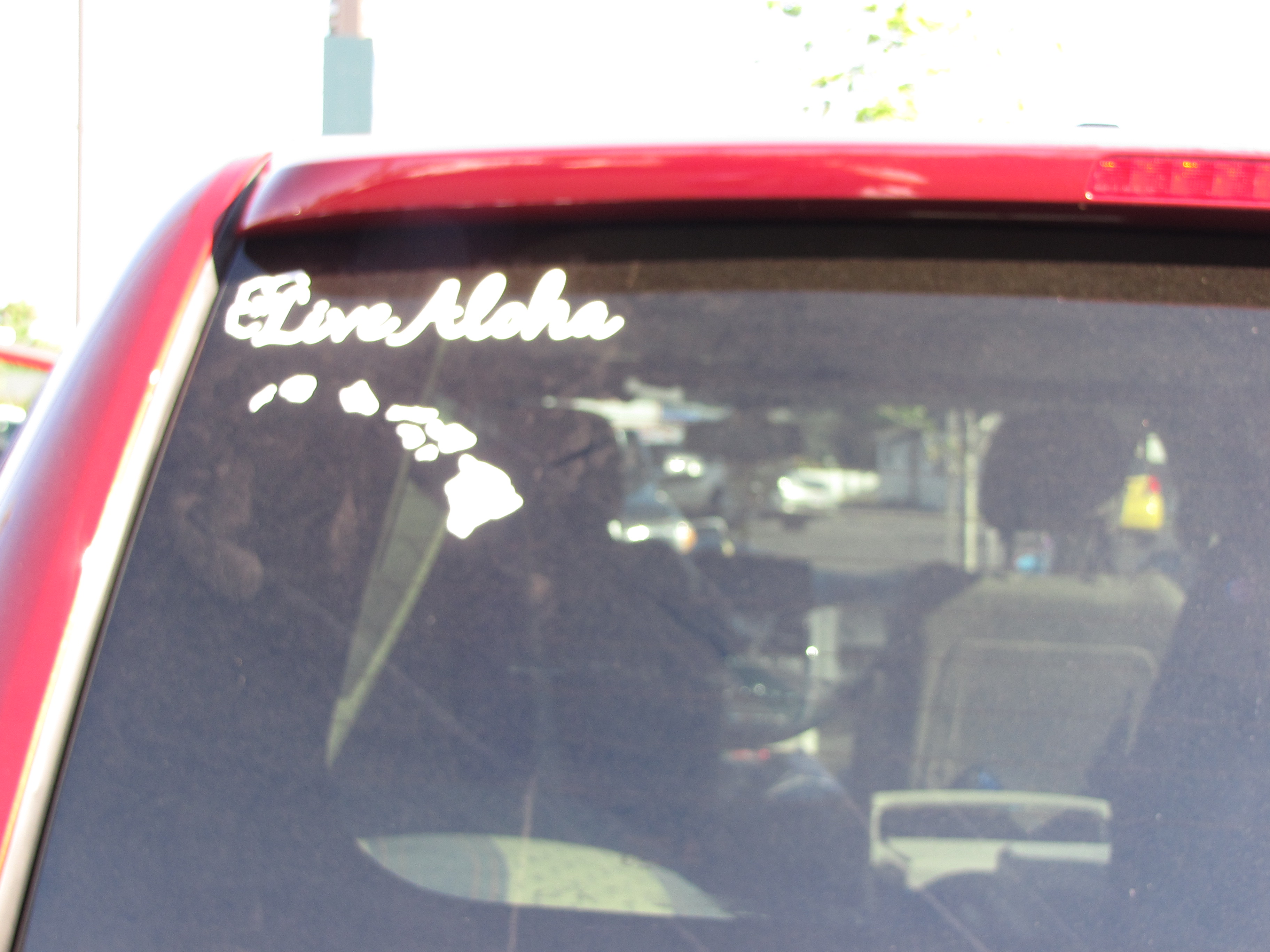
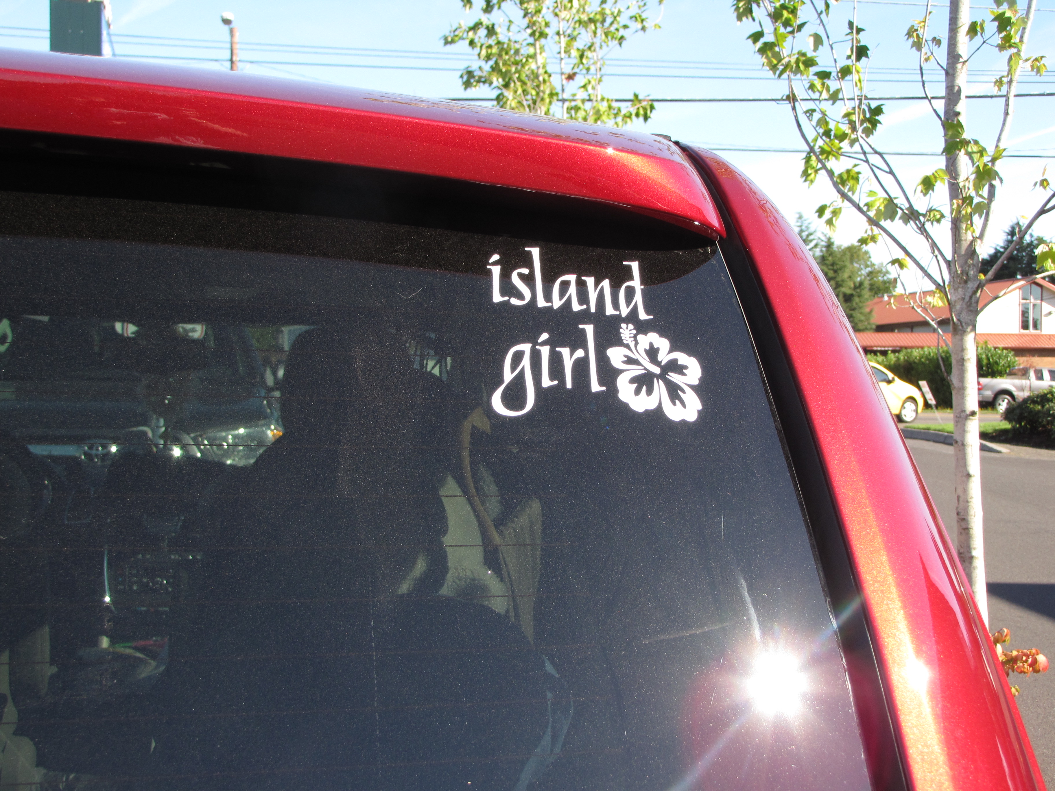
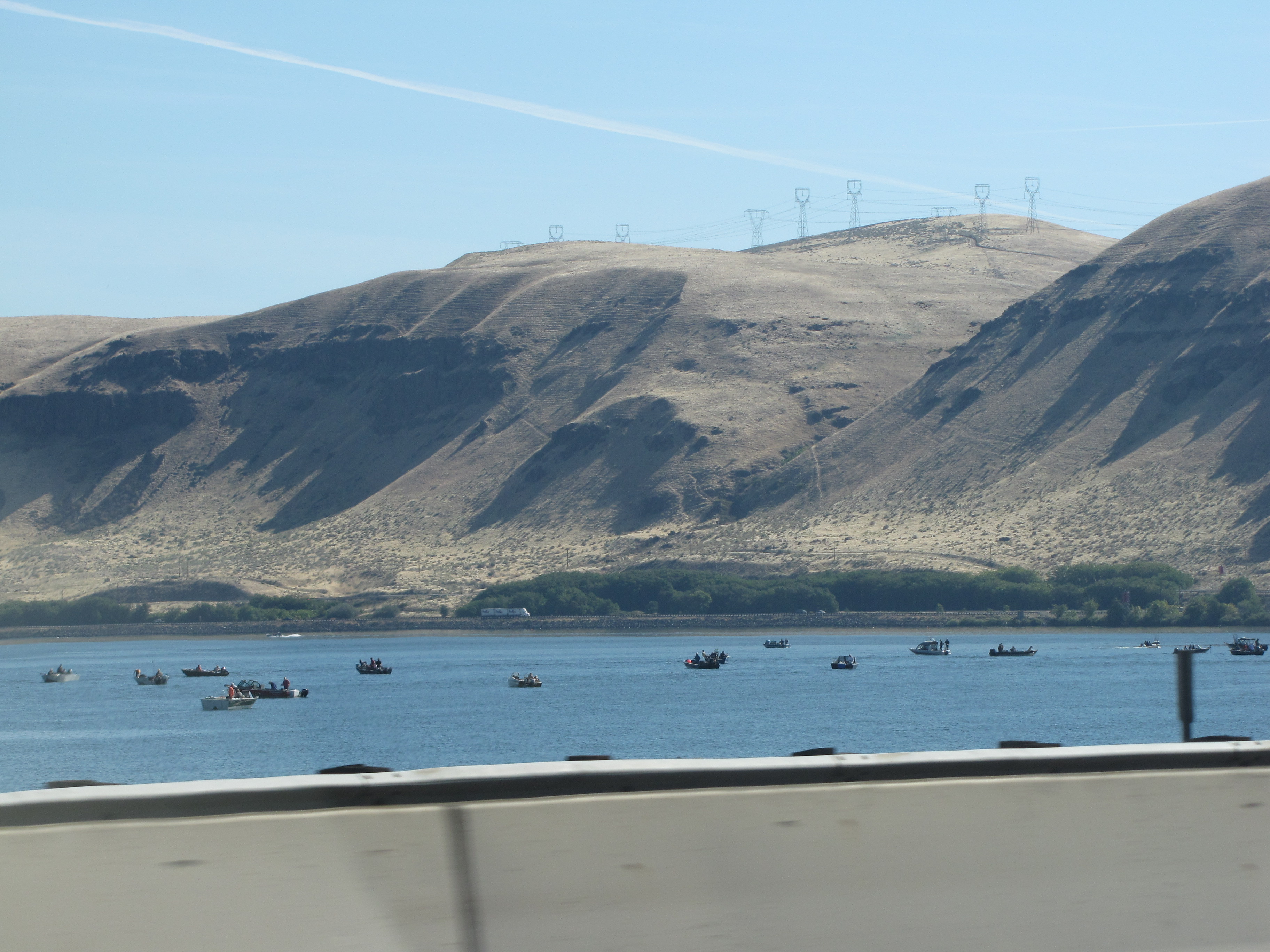
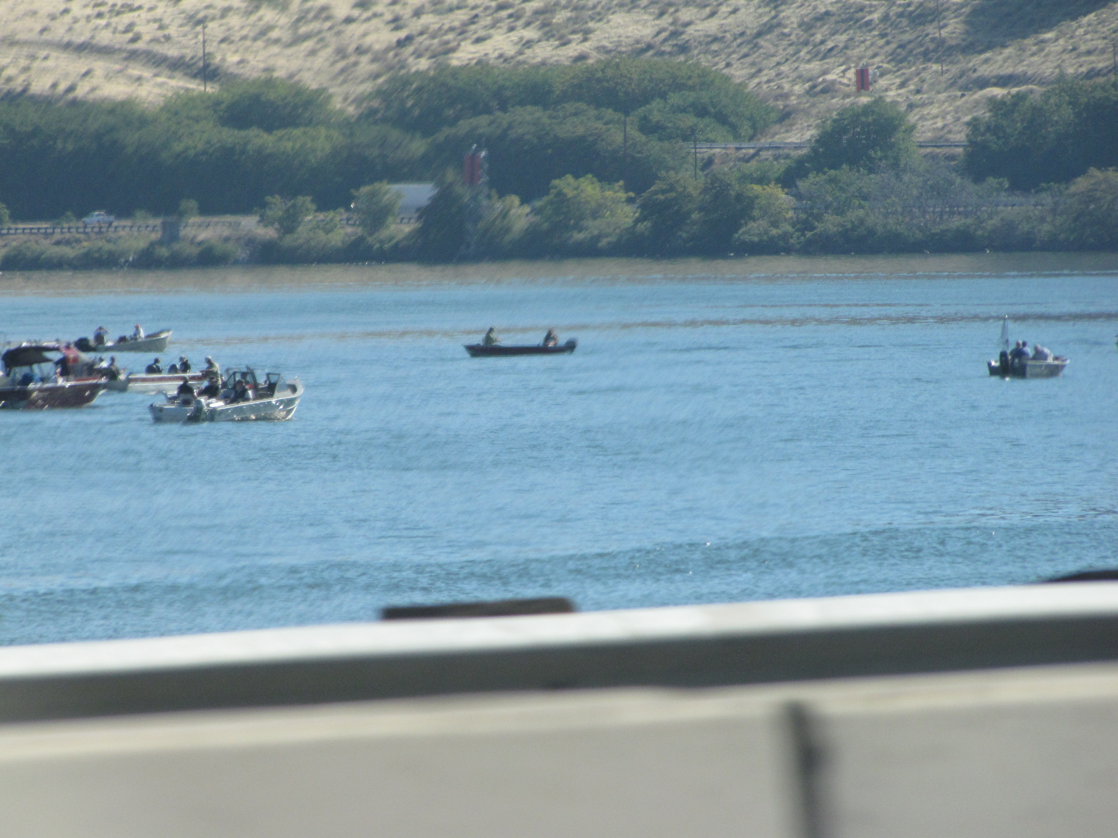
We got onto I-84, heading east, along the Columbia River Gorge.
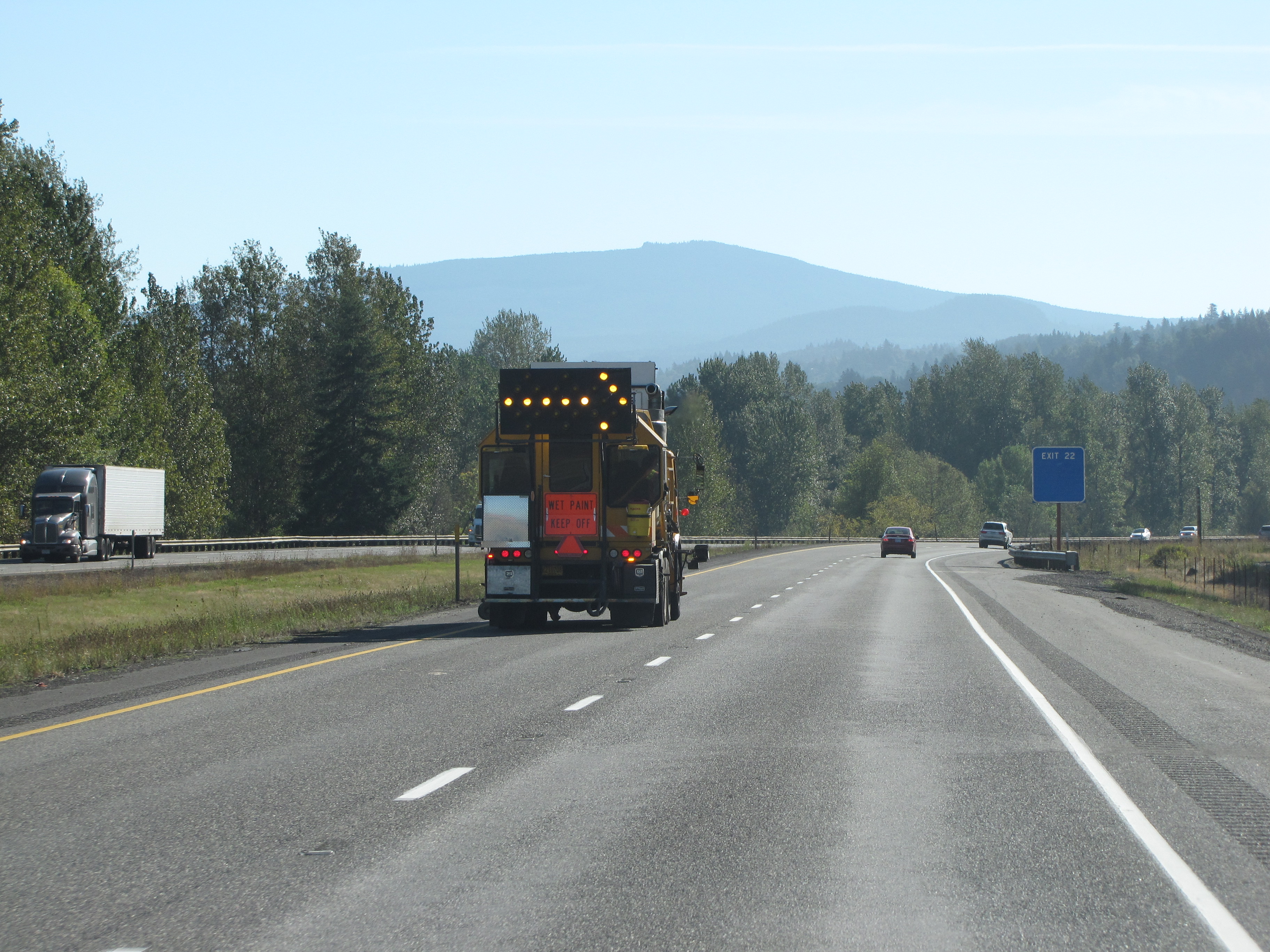
There were lots of whitecaps in the river.
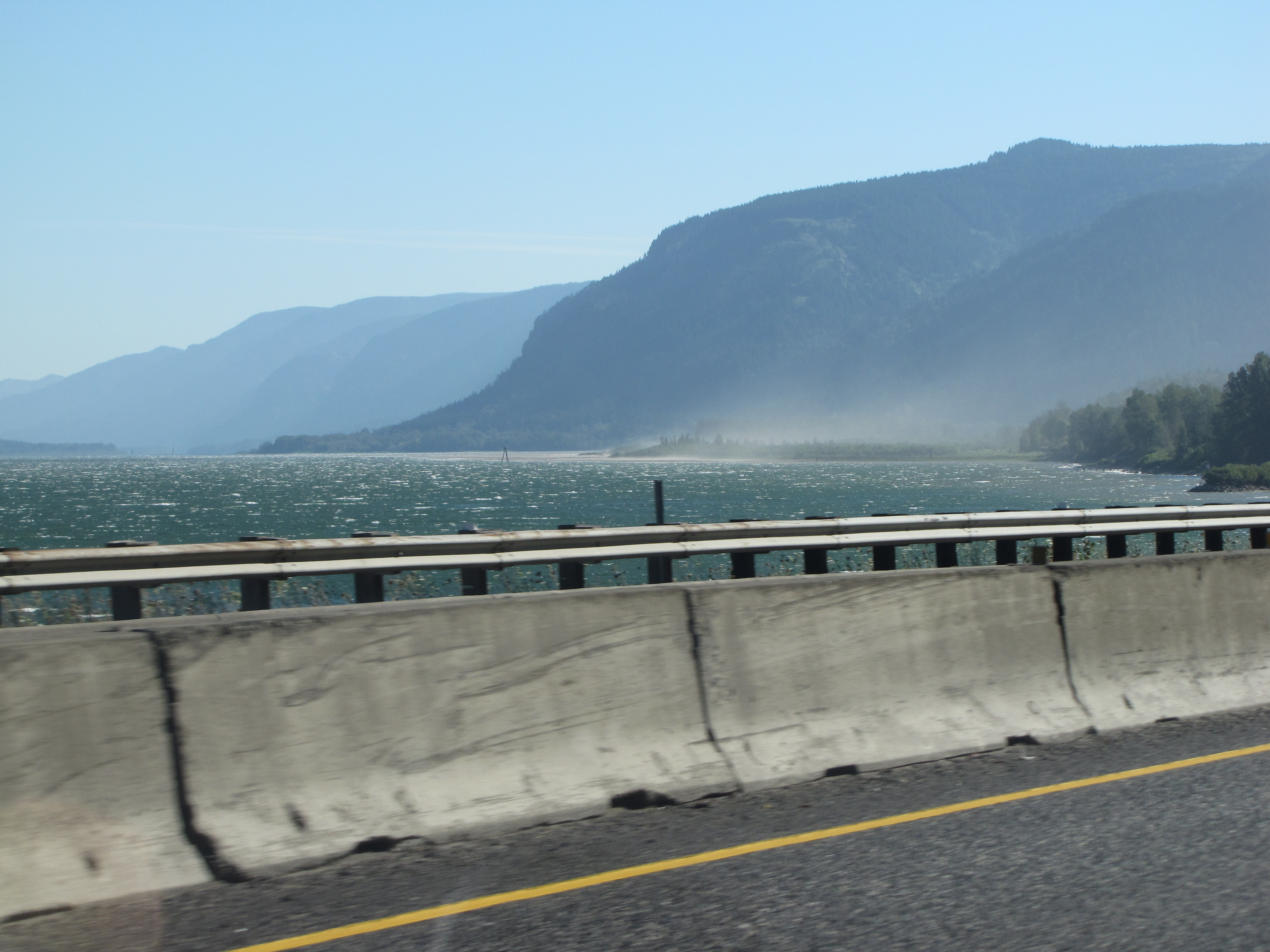
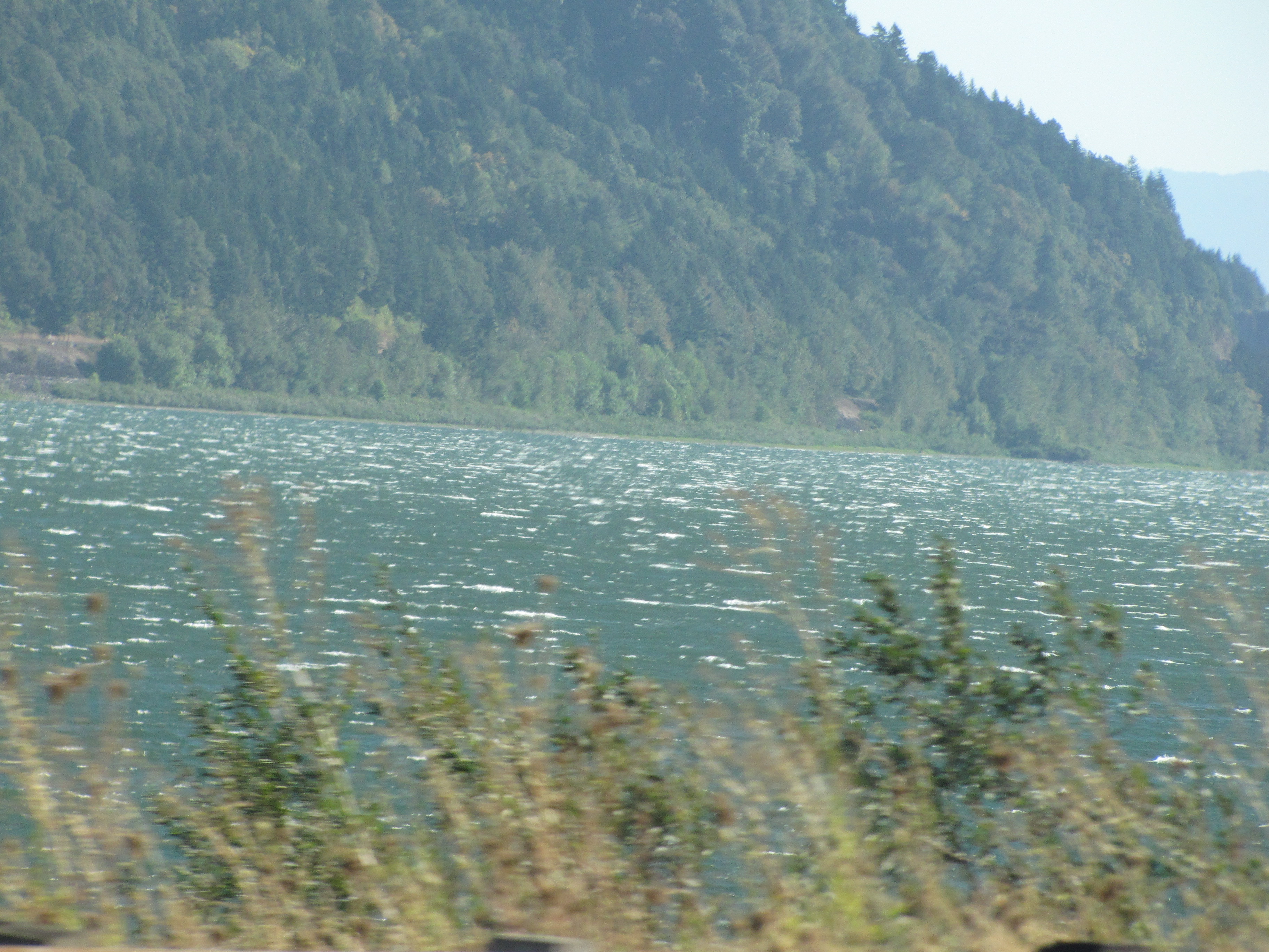
We cross the Cascade Mountain, and the scenery changed…a lot!
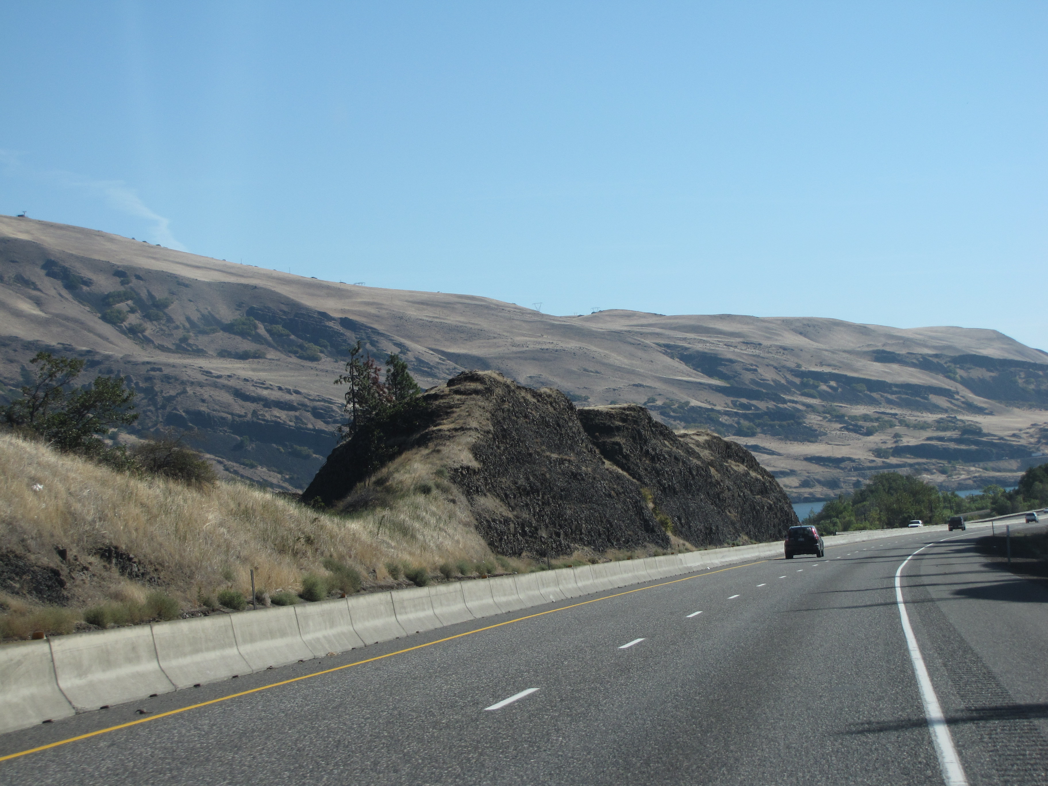
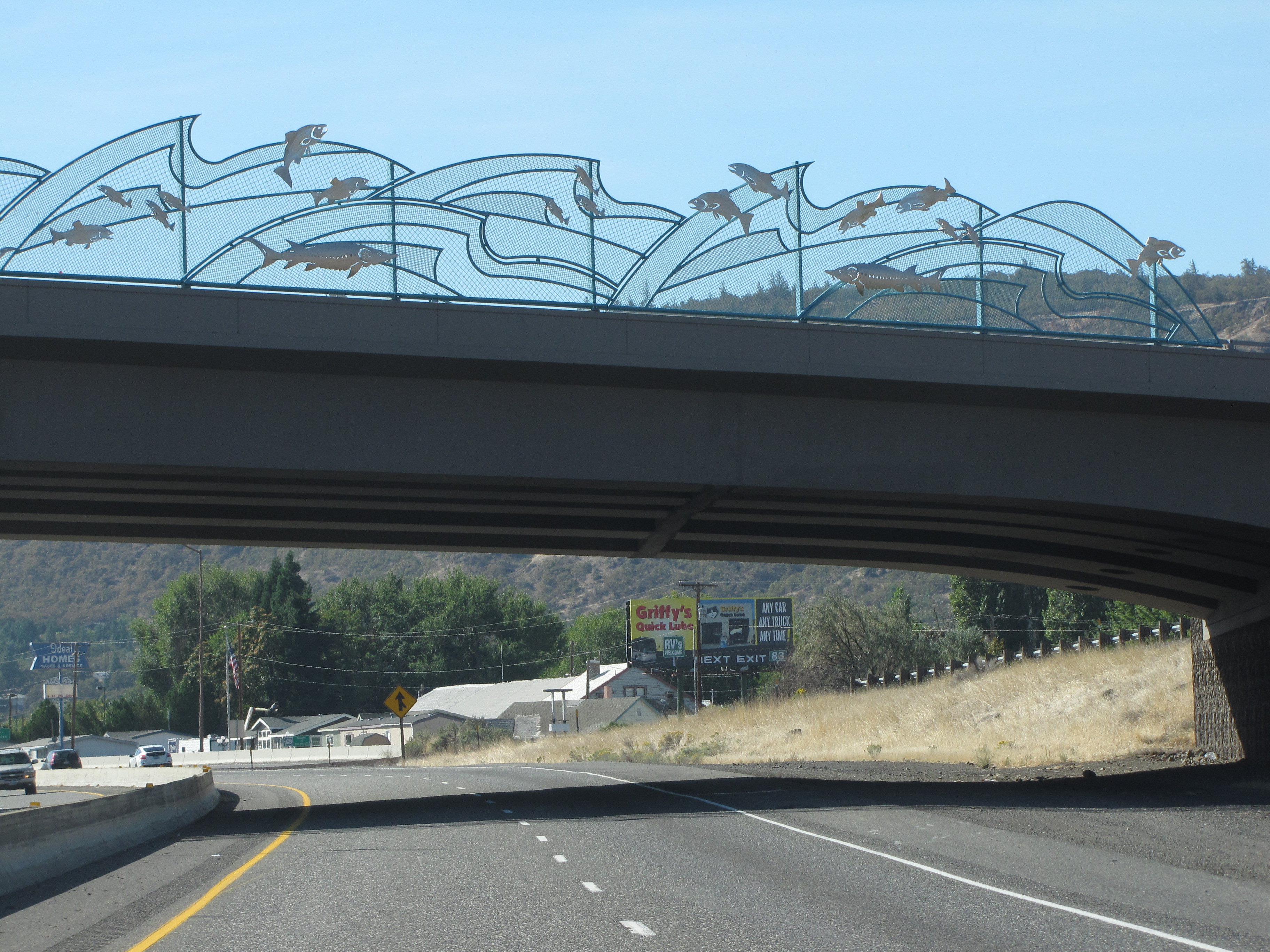
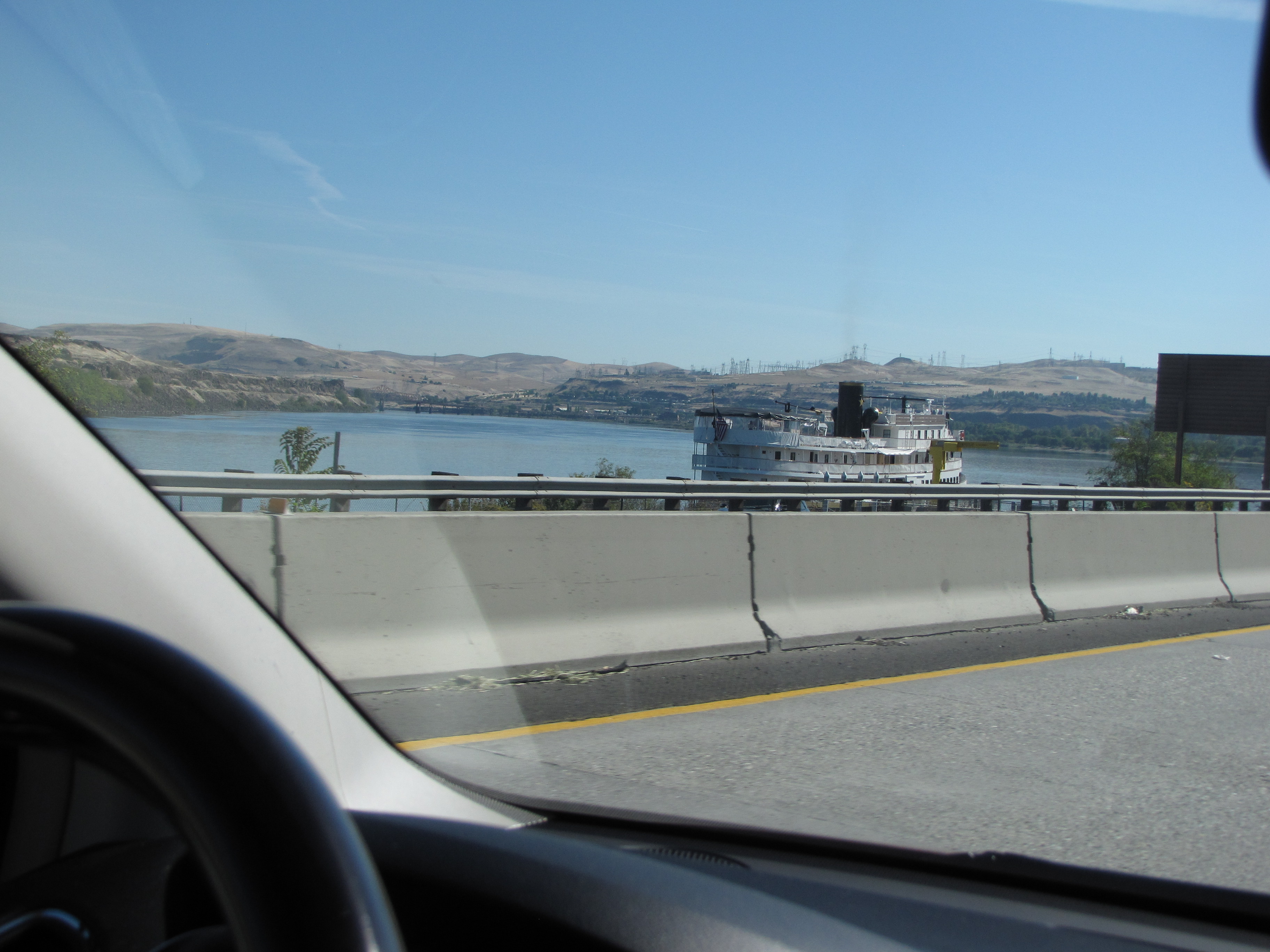
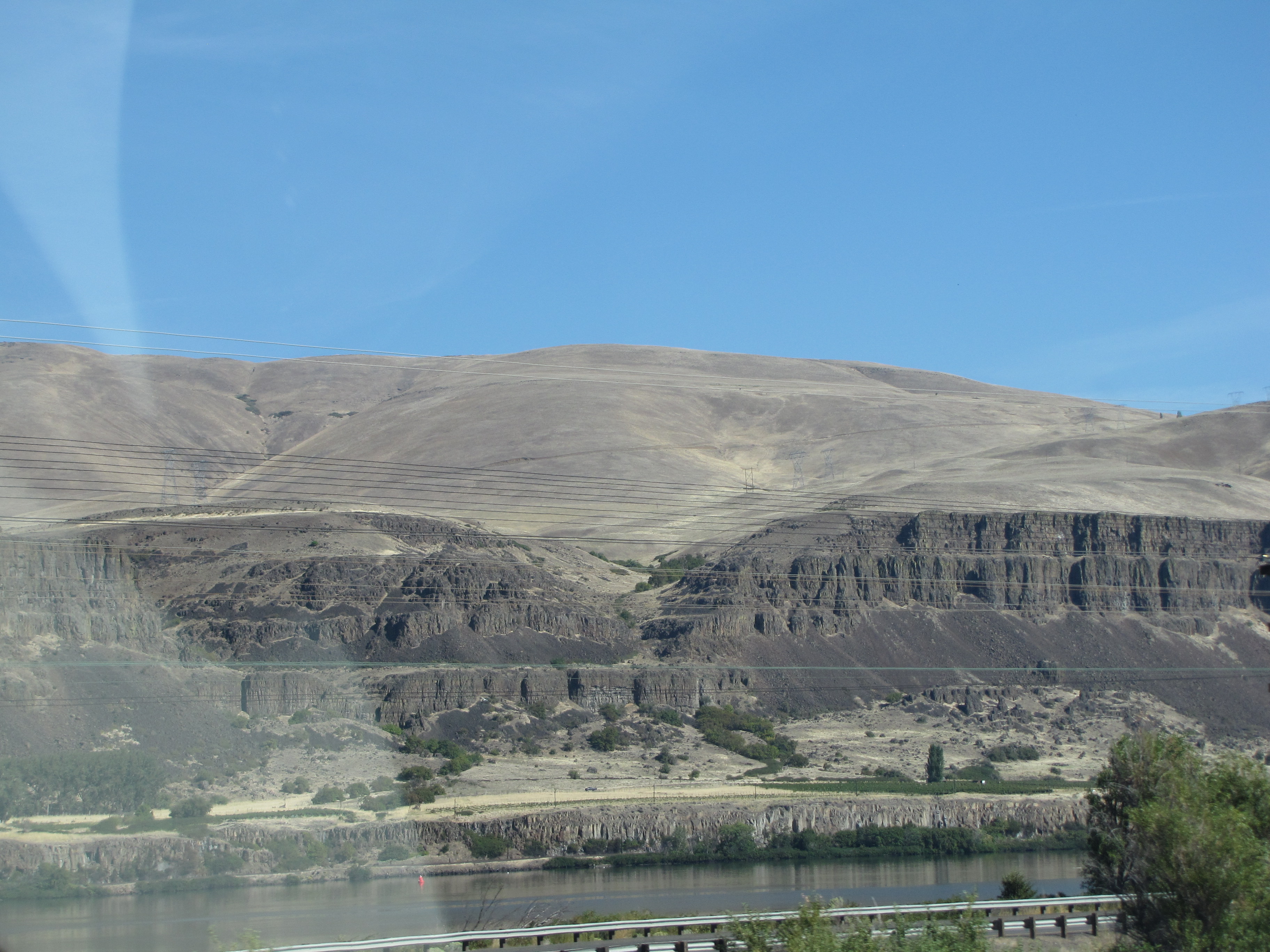
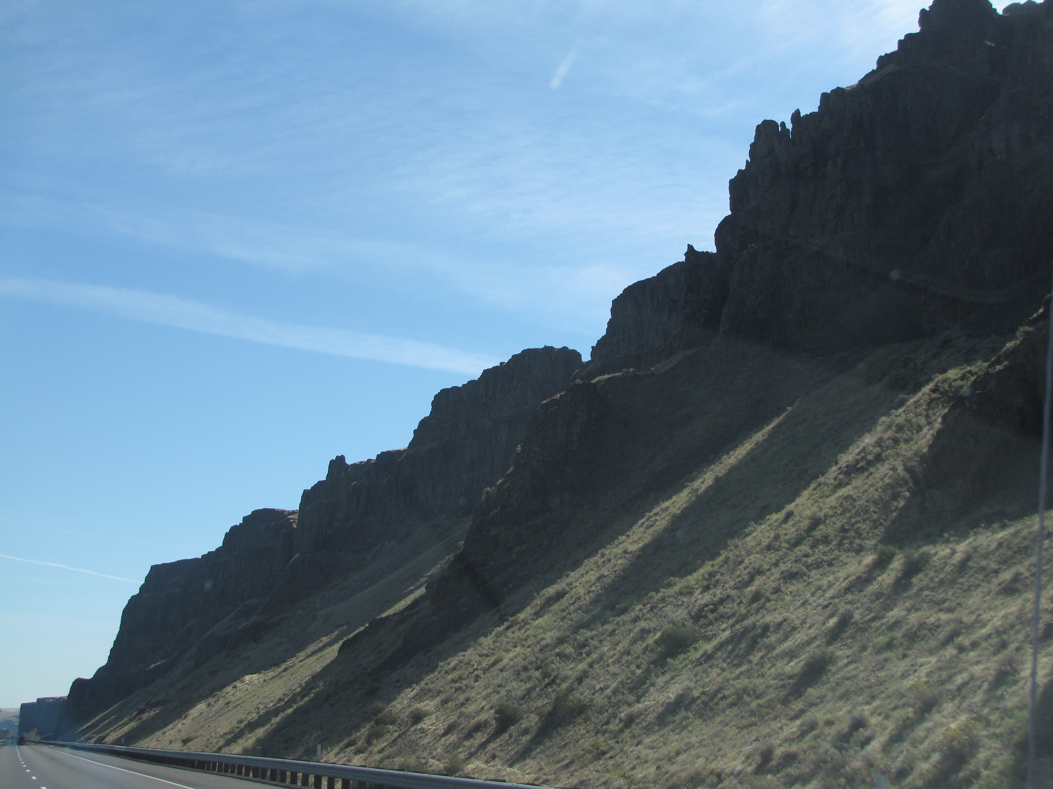
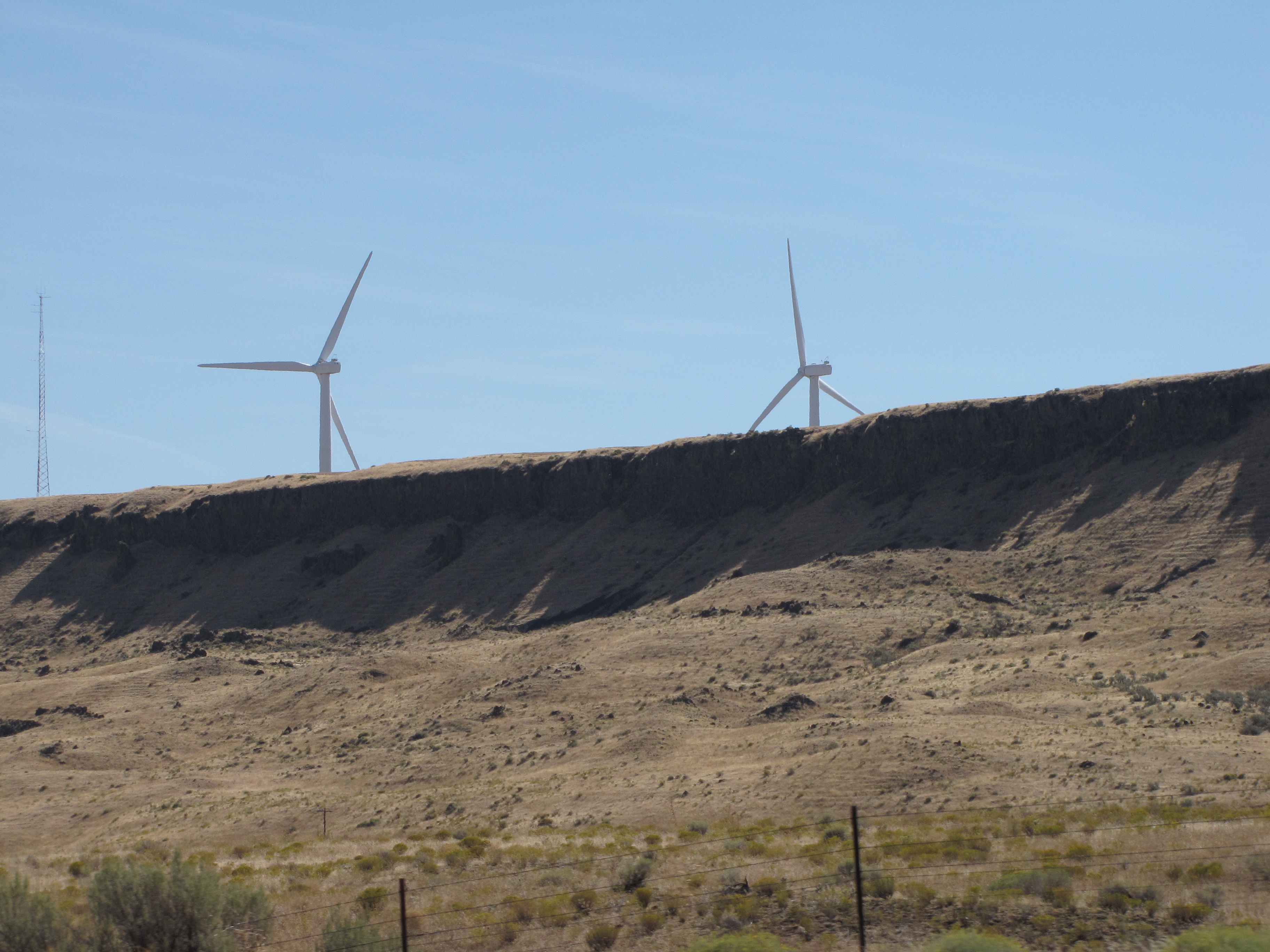
There are dozens of wind turbines along the Gorge, where wind is almost constant.
Train!!
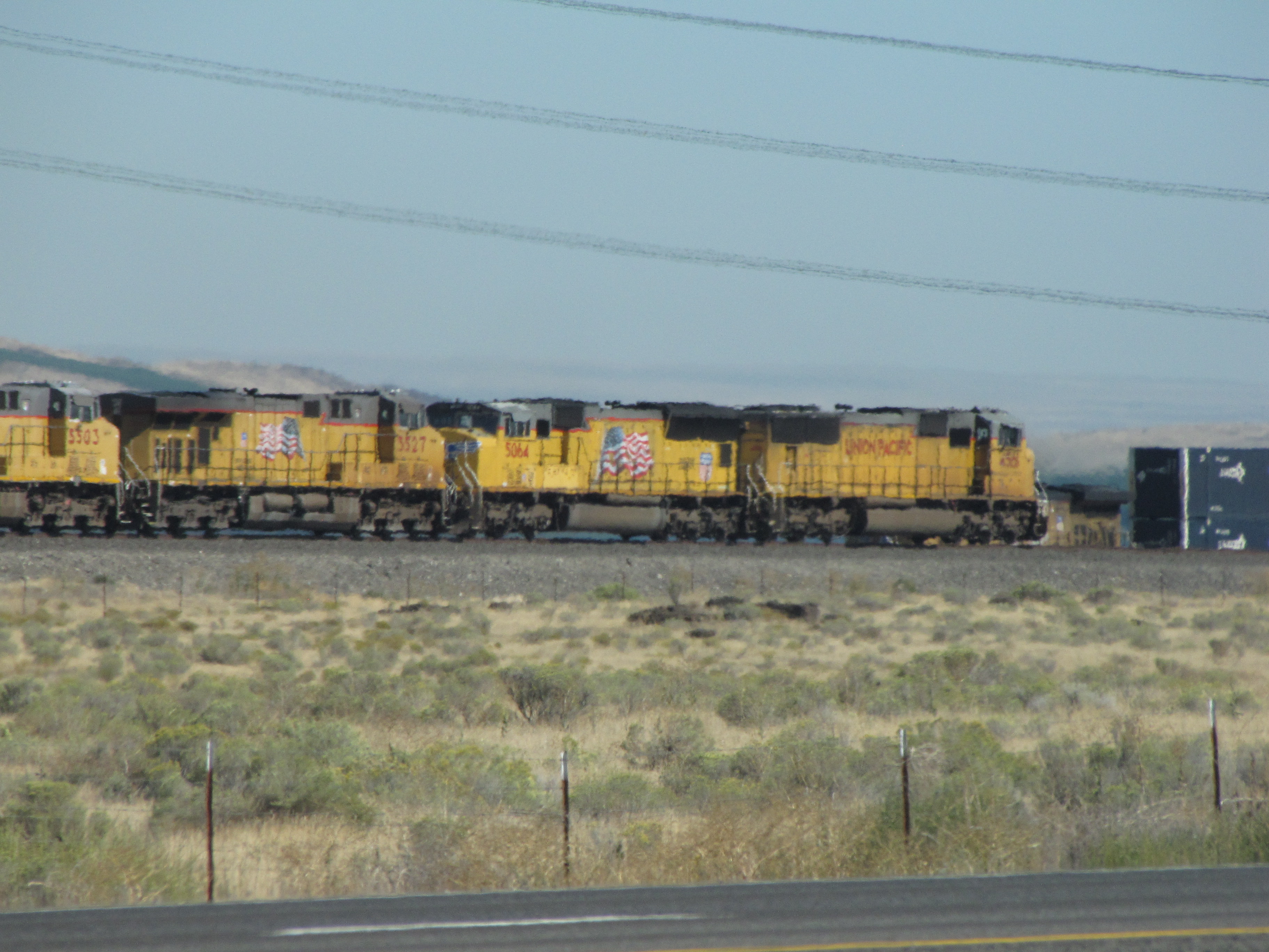
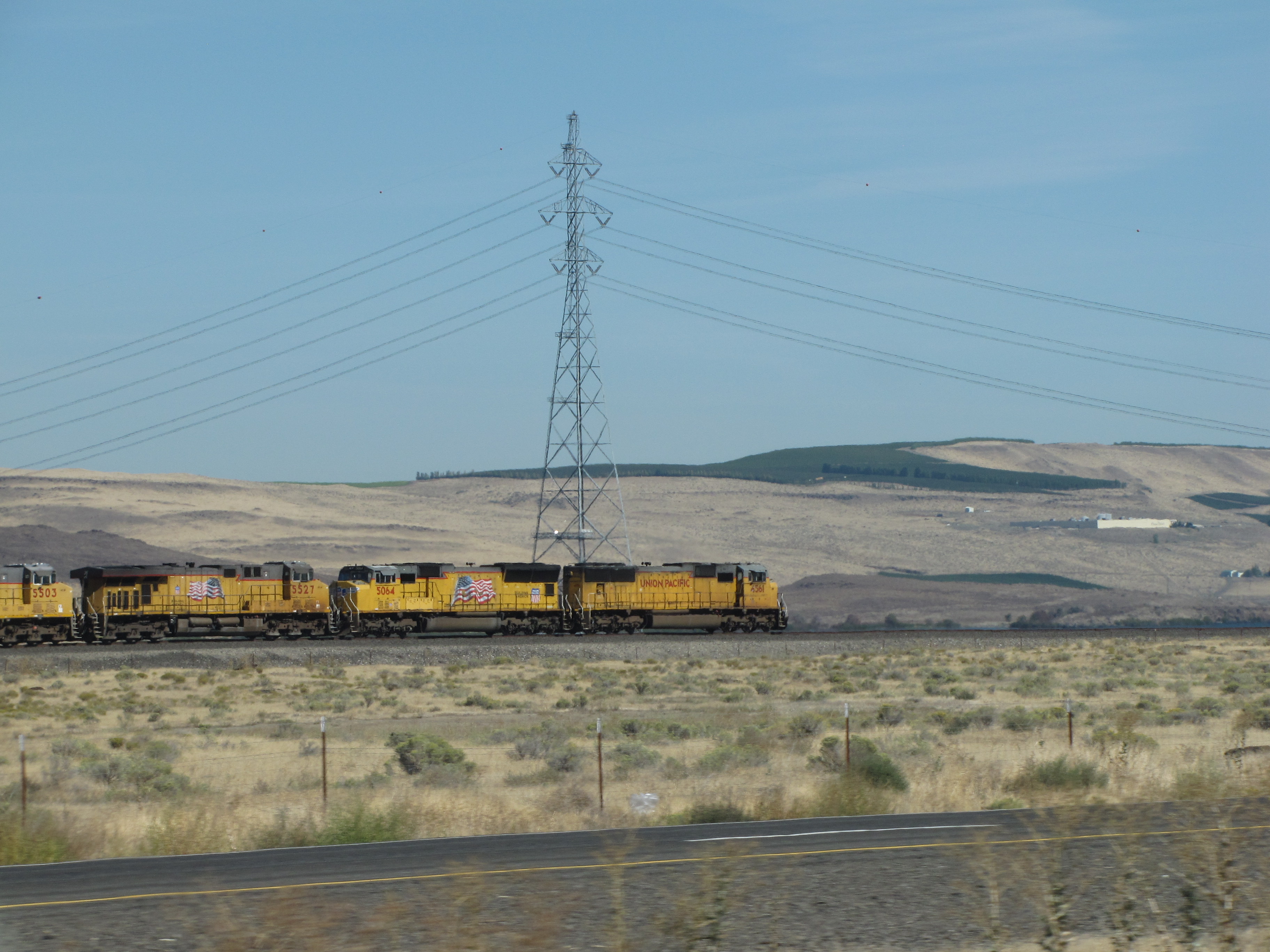
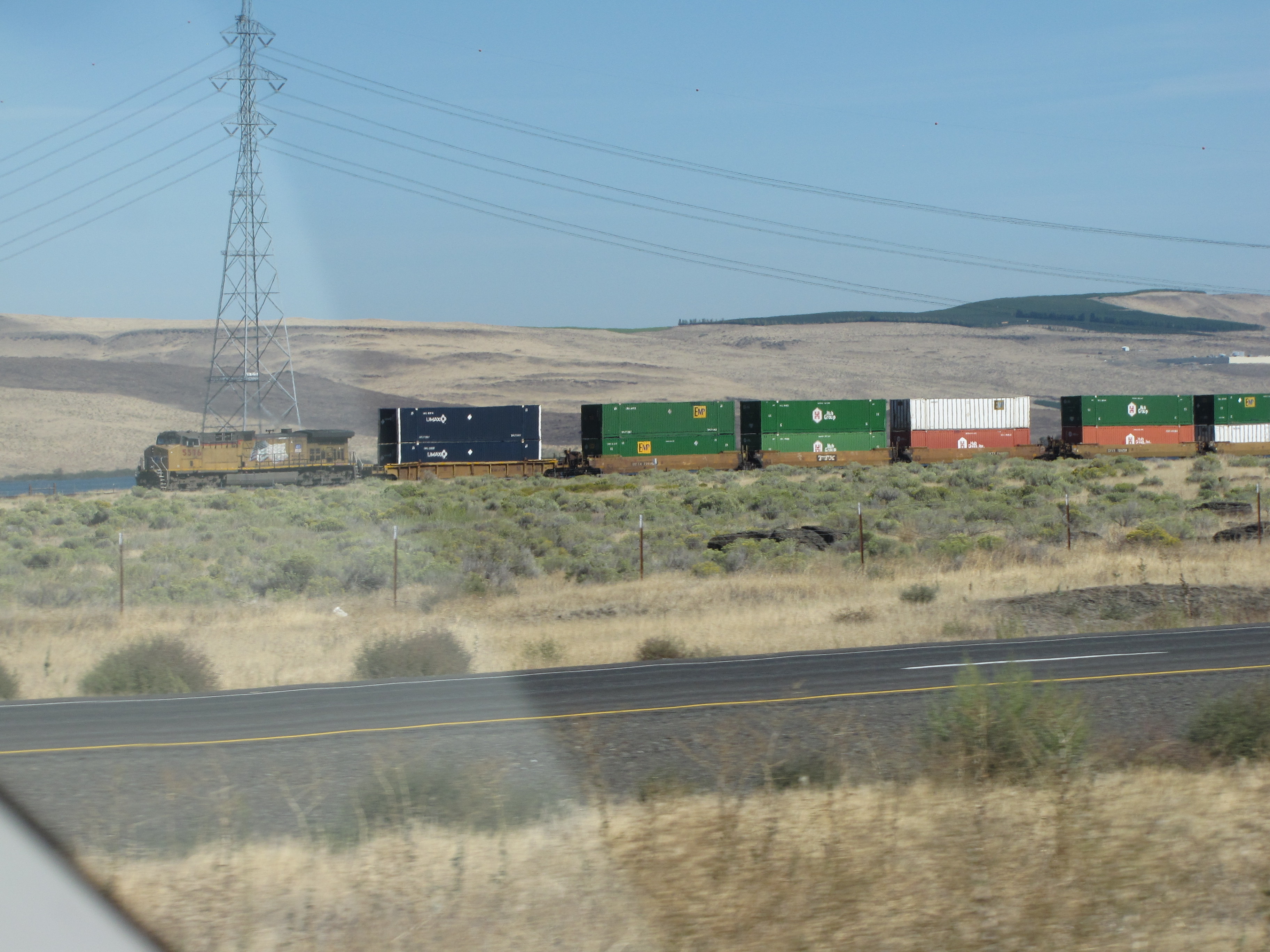
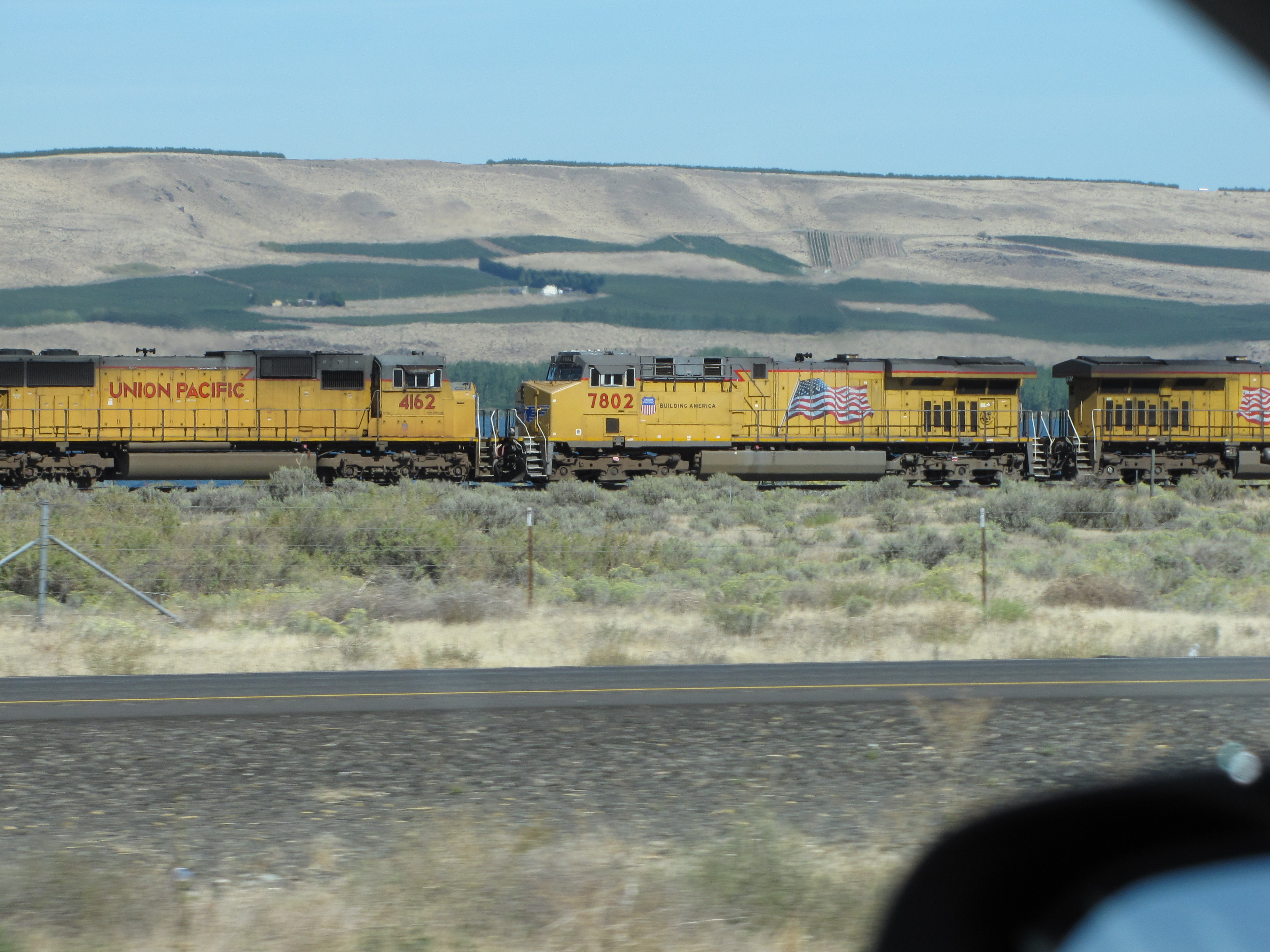
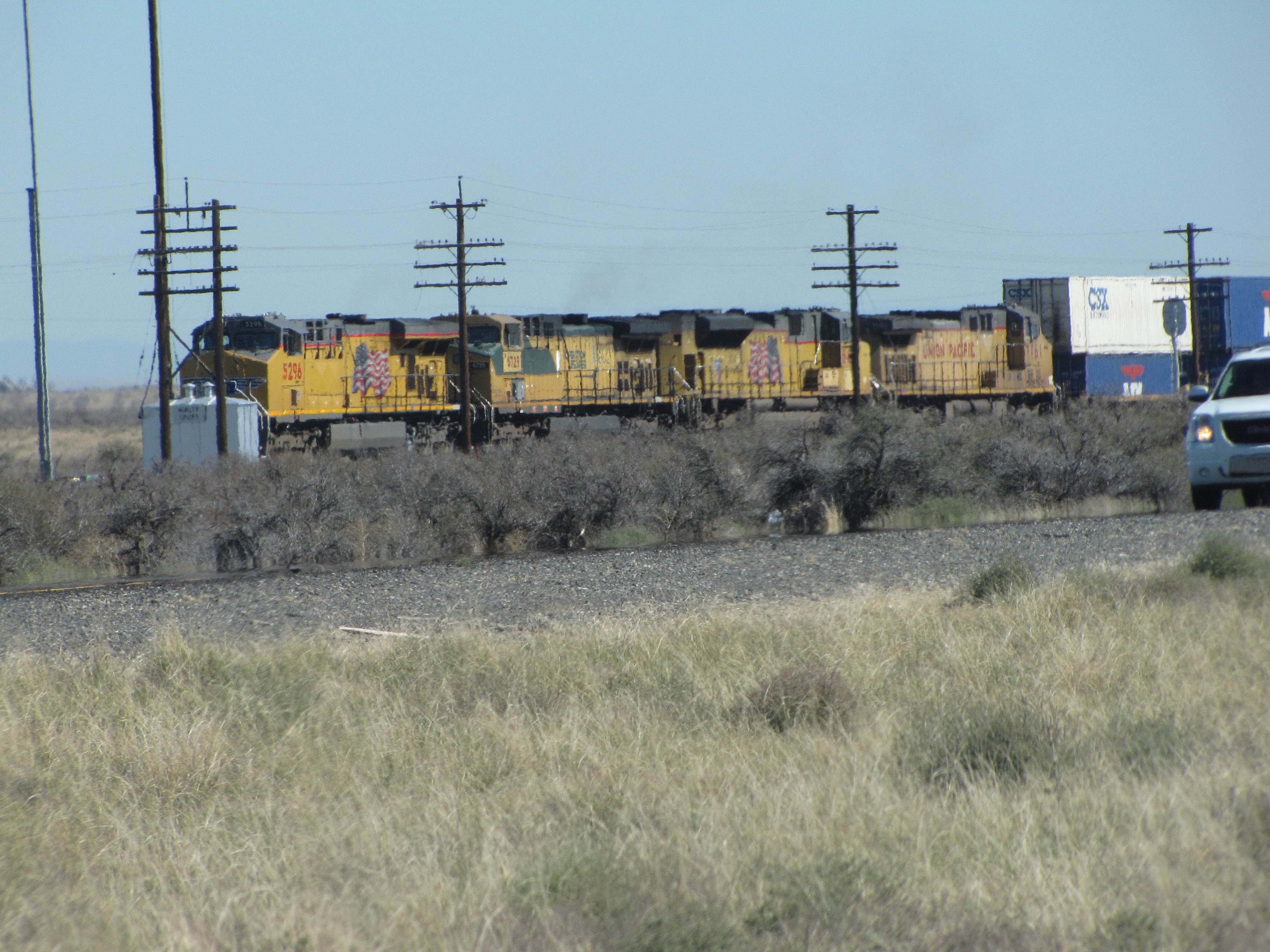
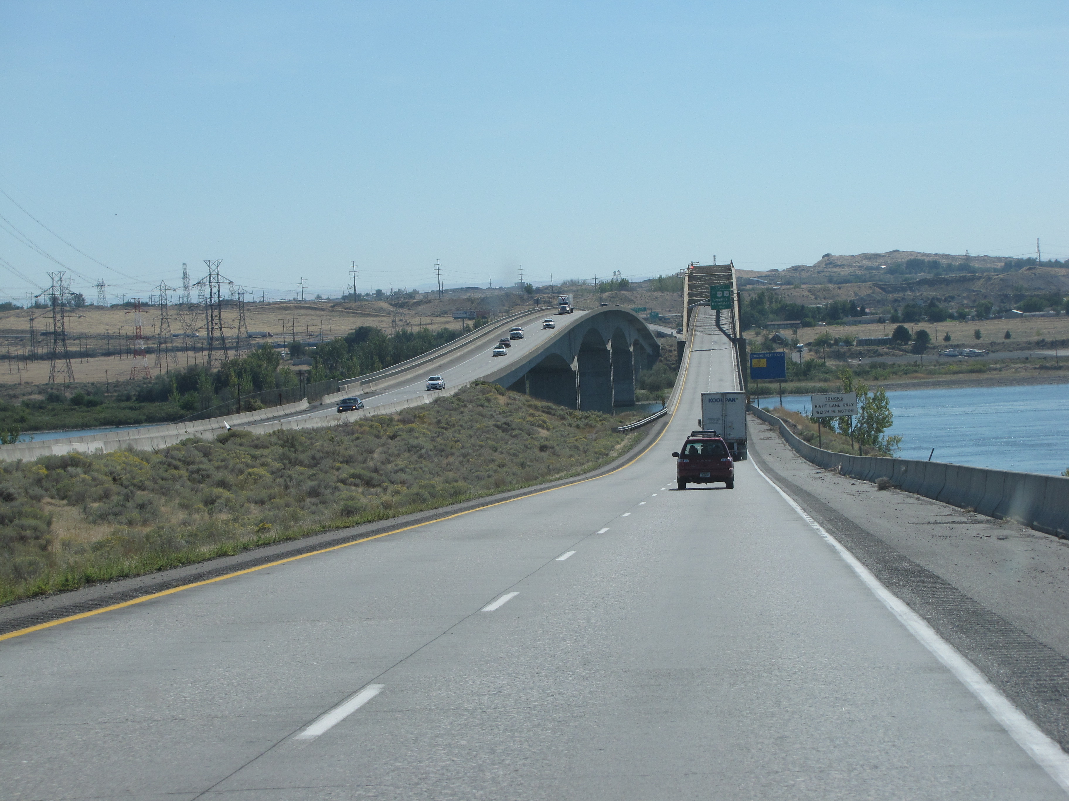
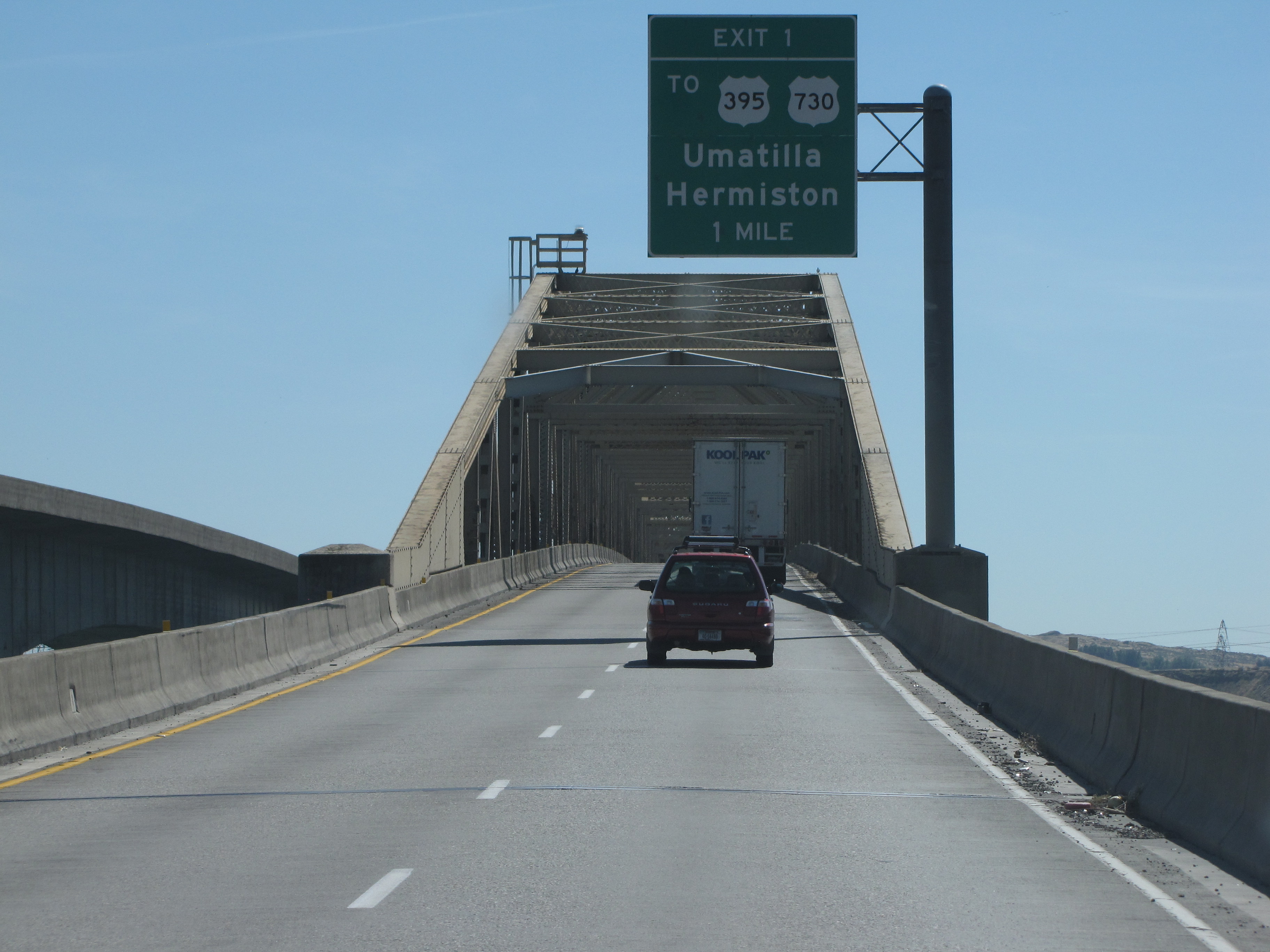
I’m so glad I captioned these photos back then, because I don’t know that I could remember everything from 2013!
Well, this is pretty self-explanatory, yeah?
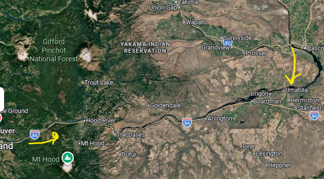
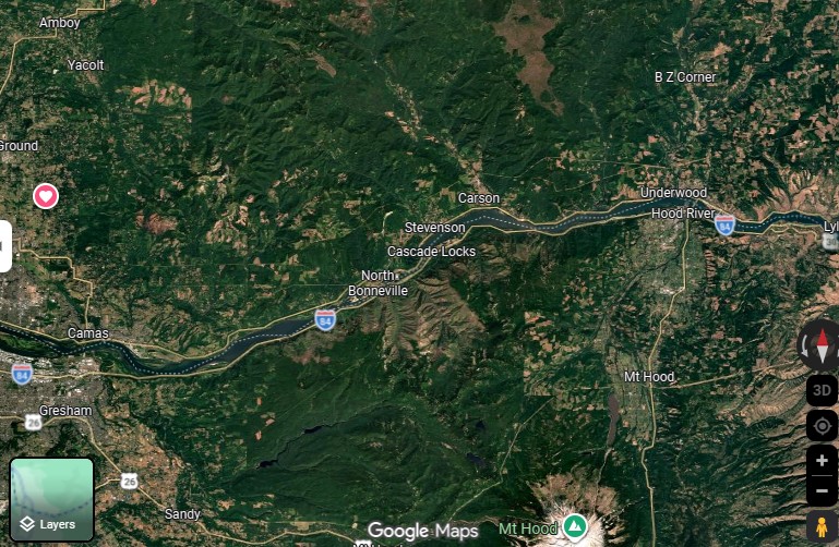
We’ve come this far so far. All kapakahi the home one. I used to be able to easily make placemarks in Google Maps, cut can’t figure out how to do it now. There’s no placemark icon. Sheesh. You can see the difference between the west and east side of the Cascade Mountains.
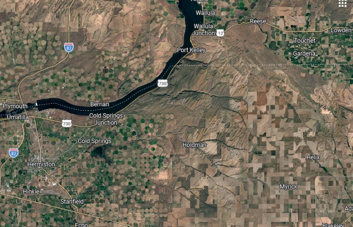
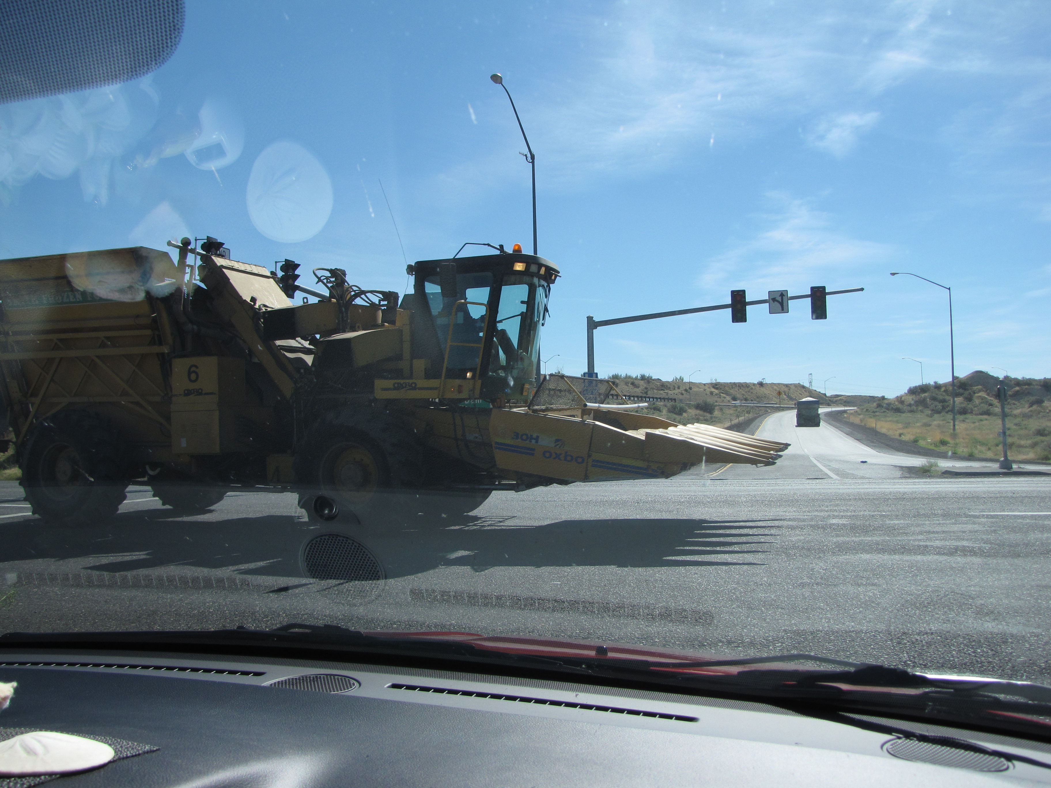
We’re now in McNary. This is our third time through here since 2009. But it’s never the same, which is another reason why I love road trips. Things are familiar but there’s always something different to see.
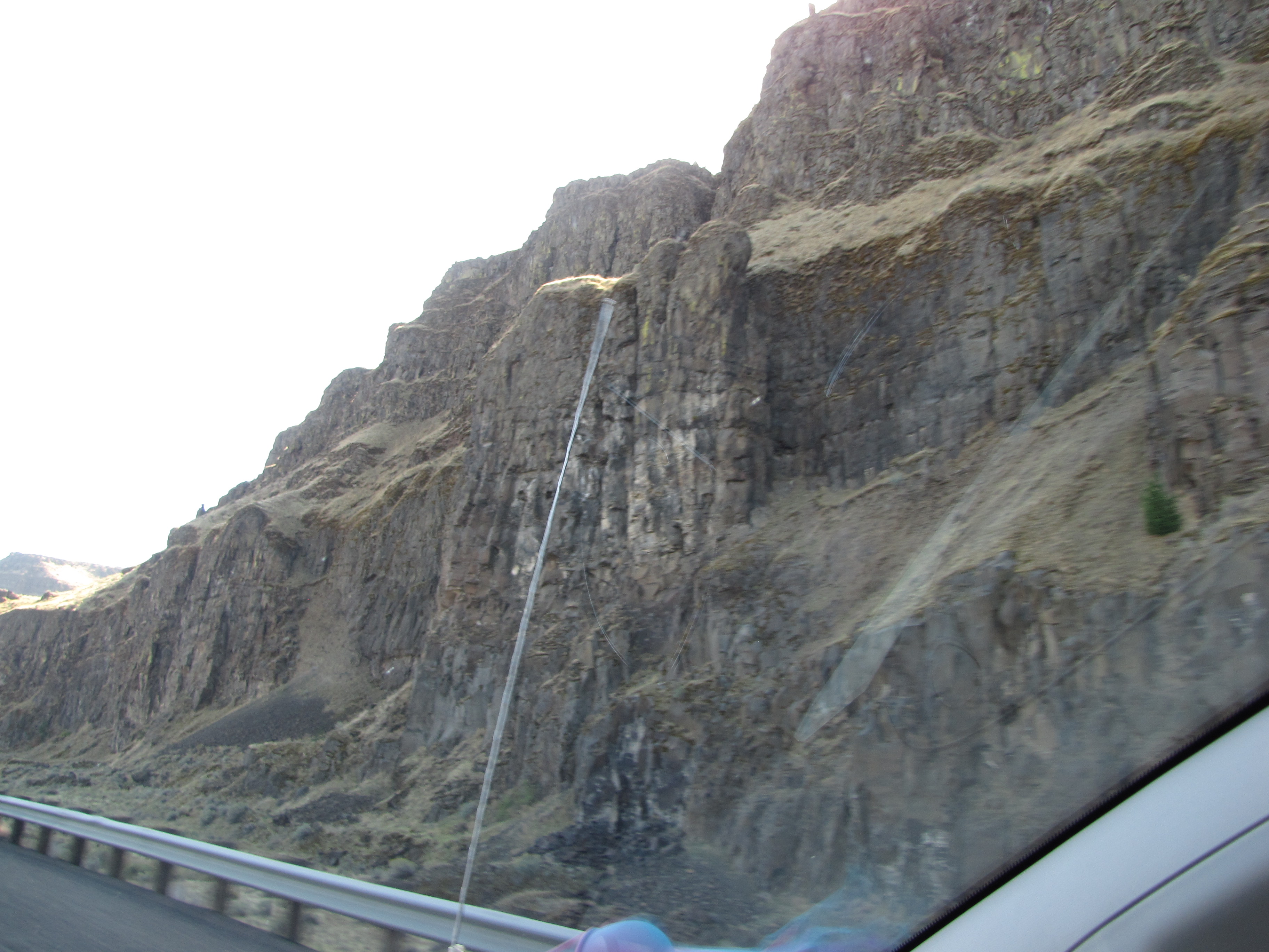
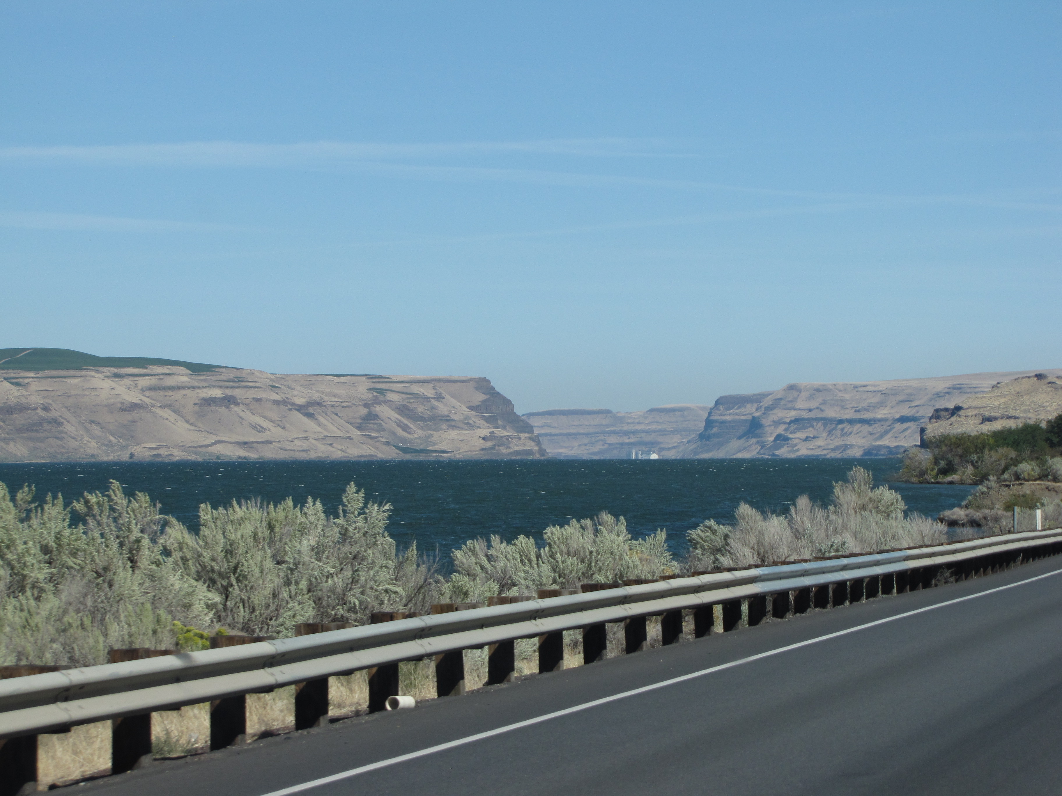
We’re now on Highway 730 in Washington State with Wallula Gap up ahead. You can read more about it here.
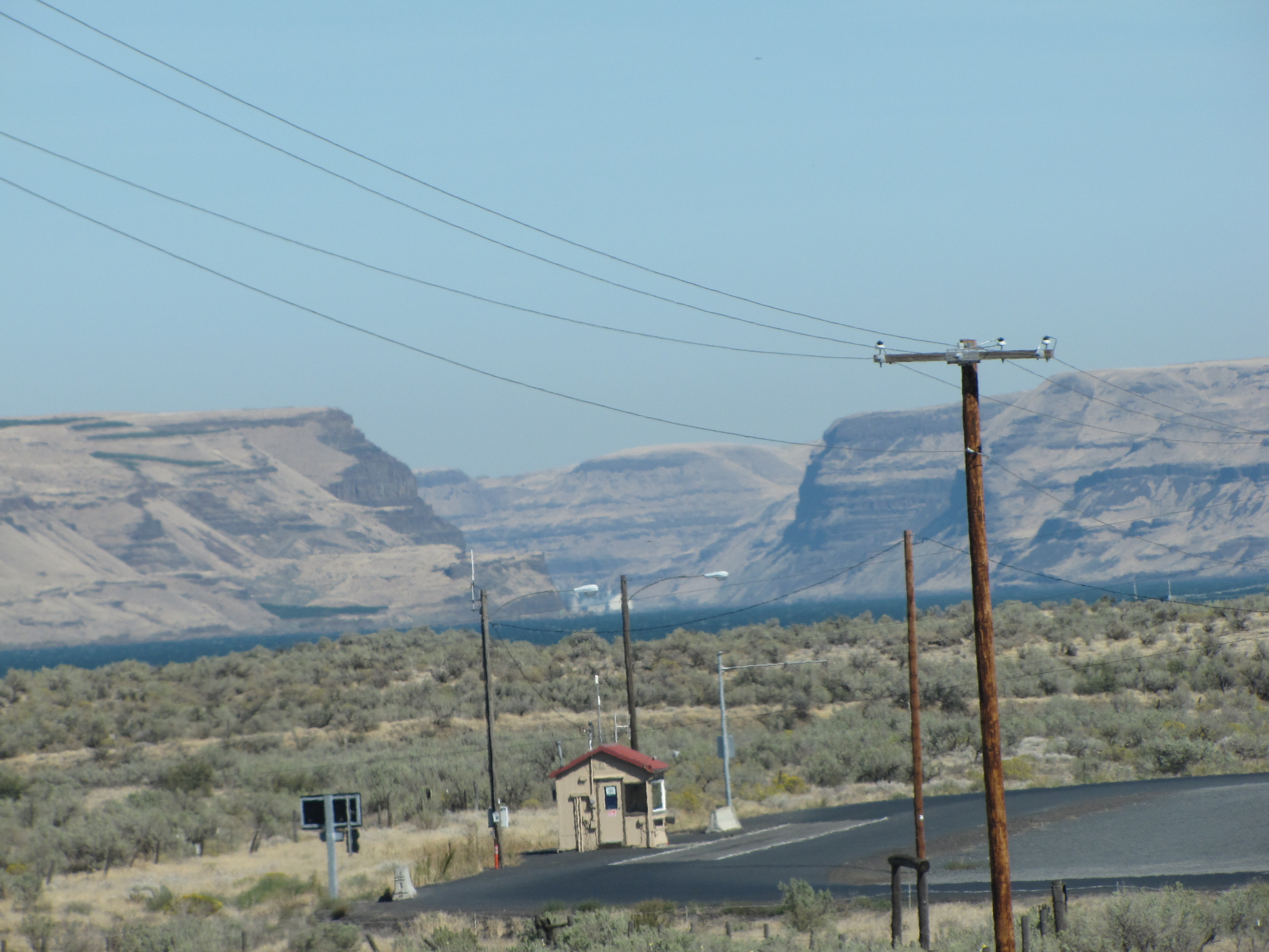
Wallula Gap (/wəˈluːlə/) is a large water gap of the Columbia River in the Northwestern United States, in Southeastern Washington. It cuts through the Horse Heaven Hills basalt anticlines in the Columbia River Basin, just south of the confluence of the Walla Walla and Columbia rivers.
The National Park Service has recognized the gap as a National Natural Landmark, as a site that provides an important illustration of the geological history of the United States.[1]
Fascinating stuff for realz. I love learning stuff like this.
Now you can really see the gap.
K’den. That’s it for this chapter. I have no idea how many there will be, but it will be a lot! Mahalo nui for tagging along!


Chee hooooo! Time fo’ one noddah road trip! Mahaloz fo’ lettin’ us guys ride shotgun!
I’m so happy you wanna tag along!! Going be one big long one this time.