
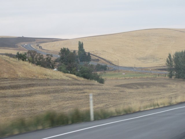
After leaving Dayton, we were out on the open highway again. All of us (Nolemana, Kukui, Musubi, and I) were thoroughly enjoying the trip. It was a real advencha, seeing parts of the country we’d never seen before; it was almost too much to take in. This was fifteen minutes north of Dayton.

Fifteen minutes North of Dayton in the Palouse country
From above, the Palouse country is absolutely stunning in every season; I still want to drive through here before wheat harvest though.

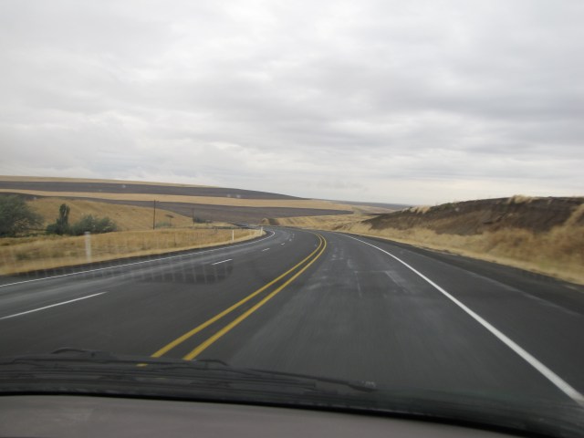
The rolling hills are wonderful to drive through. We’re heading up the highway to the left of this photo.
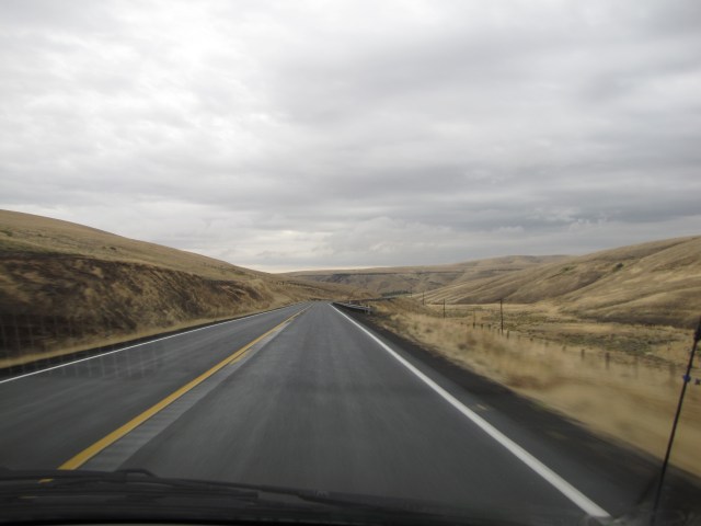
The harvested wheat fields go on and on. It’s really hard to describe our feelings as we drove through this beautiful countryside; we were in awe of the landscape.

Around every turn was a different vista of unending wheat fields. Next time you buy a loaf of bread, thank the men and women who farm these lands.
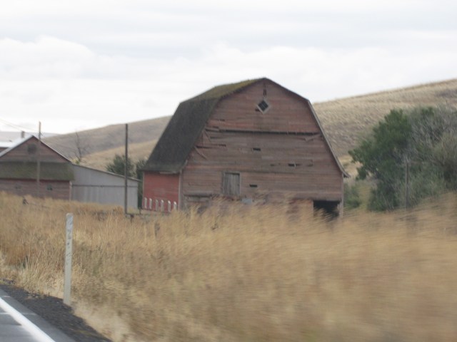
There were lots of old barns along the road. It was sometimes hard to get good photos of them because we came upon them so fast.
We weren’t running into any more rain, so getting good photos wasn’t hard. Except for some bugs on the windshield! I’m still surprised at how well the photos came out.
Nolemana was able to get this one out the window. We developed a really good routine: if I saw a photo op that I wanted, I’d roll down his window while he was getting out the camera, then he’d take the photo, and I’d roll the window back up again. Then he’d write down where the photo was taken and the number of the frame. That way I could still keep my eyes on the road. Akamai, yeah?

I wonder if there’s a Starbuck’s kiosk in this town!
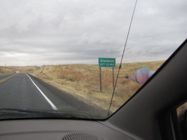
This is where the highways split; Highway 261 goes to Starbuck, but we’re heading East. Get mauka in almost every direction now (except makai), so I gotta use non-island terms. So far, the spinner is holding up well. Yay!

More beauty. In case you haven’t thought about it yet, planting, disking, and harvesting these fields isn’t like doing it on flat land. More about that in a bit.

A really nice spread. Try look how high the wheat fields are above it. This is just makai of Pomeroy. (I can still say makai ‘cuz the ocean is still ova dea. Makai. Towards the ocean.)

We come into the small town of Pomeroy, Washington. Here’s another town I would’ve enjoyed exploring.

Especially the museum.

This is near Pataha, Washington. Absolutely stunning. We’re still in Palouse country.

If you want to see some incredible shots of the Palouse country, try go hea.
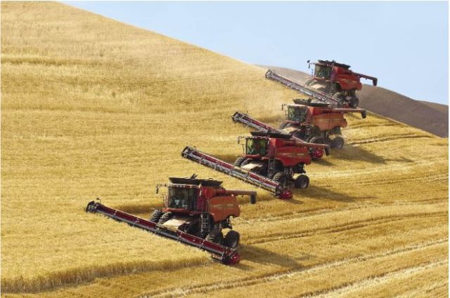
And remember how I talked about farming on steep hillsides? Well, John Deere has a special harvester (as well as other equipment) for the Palouse country’s steep farming situations. Try look! The driver stays level even though he’s on a steep hill. (Photo courtesy of farm-equipment.)
Try look this video of the wheat harvest!
Awesome, yeah?
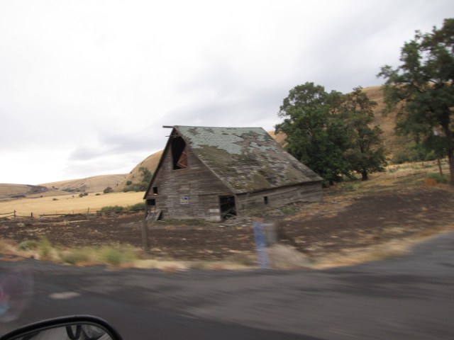
Wonderful old barn in Pataha. We never really saw the town… is there one?
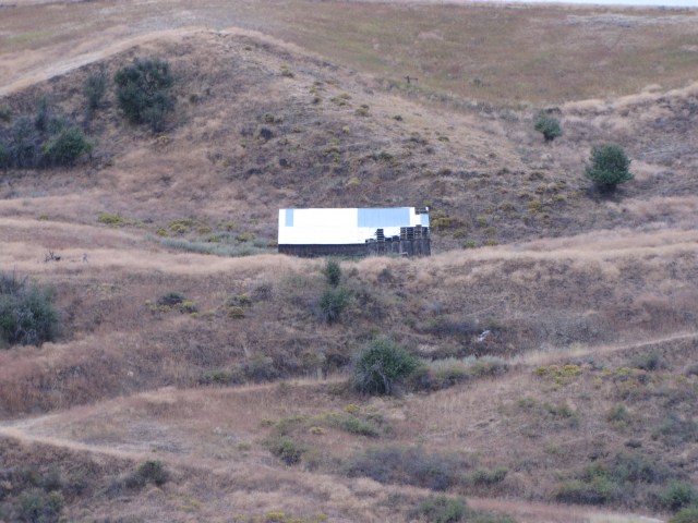
And another deserted-looking one up on a hillside.
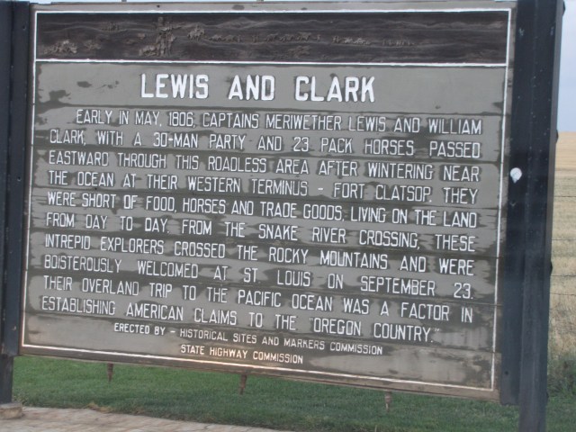
We come to a rest stop near Fairview Road on Highway 12. By this time I really needed to stretch my legs again. The wind was blowing pretty hard, but it was a wonderful stop anyway.
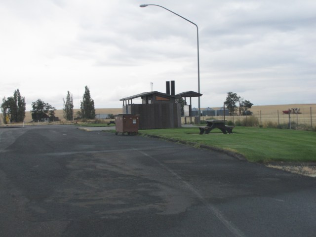
During our trip we tried to stop at as many historical markers as we could. This one was particularly fascinating to me; to think that Lewis and Clark (haven’t figured it all out yet but I’m related to William Clark) had traveled so close to where we were standing just boggled my mind.
Behind the sign, the fields stretched out far away.


There was even a spot for Kukui!
We were about to start down a many-miles-long downgrade. I’d heard about it on one of the Ravelry forums and was really looking forward to it. We get great mileage going downhill!

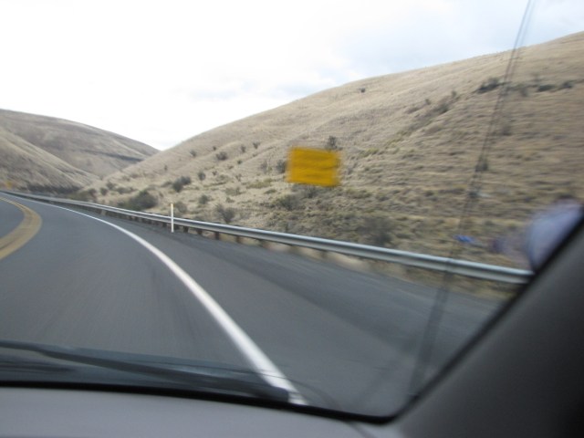
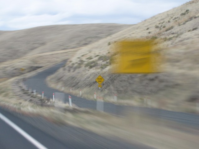
Three miles ahead is a runaway truck ramp. Hard to get good photos on the fly because mostly we have no warning that the signs are around the next curve; they just suddenly appear.

Now it’s another half mile ahead.
See it up dea?

It’s a really steep one. I wonder how often truckers have to use one of these. If they do, I bet they’re glad it’s there!
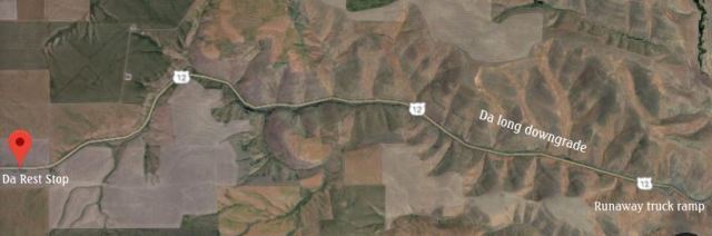
Here’s a Google map of the long downgrade. Doesn’t look really long, but it took us about twelve minutes to get from the top to the bottom! That is one long downgrade!
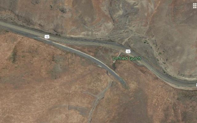
Here’s the runaway truck ramp from above. “Unfried Gulch”? I wonder why it was named that!
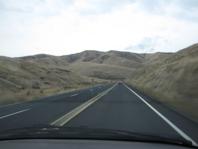
Still on the downgrade, past the runaway truck ramp. It seemed to go on forever and I was lovin’ it!
K’den. Pau for this post. You folks had plenny to see this time! Hope you enjoyed it; I had fun putting the whole thing together. Now gotta go rest!

Holy smokes! How interesting the landscape!!! The small town of Pomeroy is quaint but the streets, for a small town, is wide huh? The air shots you included makes the trip so interesting ~ Amazing trip and again, the pictures are awesome. Good thing photos are digital now, can you imagine what you’d be paying if you were using reg. film? O.O Oh and barns!!! I love taking photos of barns and old wabi sabi buildings.
Exciting! The countryside is so beautiful. Thanks for the map shots too – gives us some perspective about where you guyzes were going.
I keep forgetting to take/post my pics of da old barns around here. Love it!
I love old barns and rolling hills almost as much as rivers :-}