
…in which I thoroughly display how disorganized I am, because I just discovered that I already published Chapter 50 last year. Sheesh. But I’m going to publish this one anyway, even though you’ve already seen some of the photos, because I’ve spent a lot of time on it and no like waste it. But still… sheesh. On the previous one, though, you get a video!
Here we go, Highway 82 south. I guess if we’d wanted to we coulda headed right back to Kennewick at some point. We have really good friends there, but that’s a story for another day.

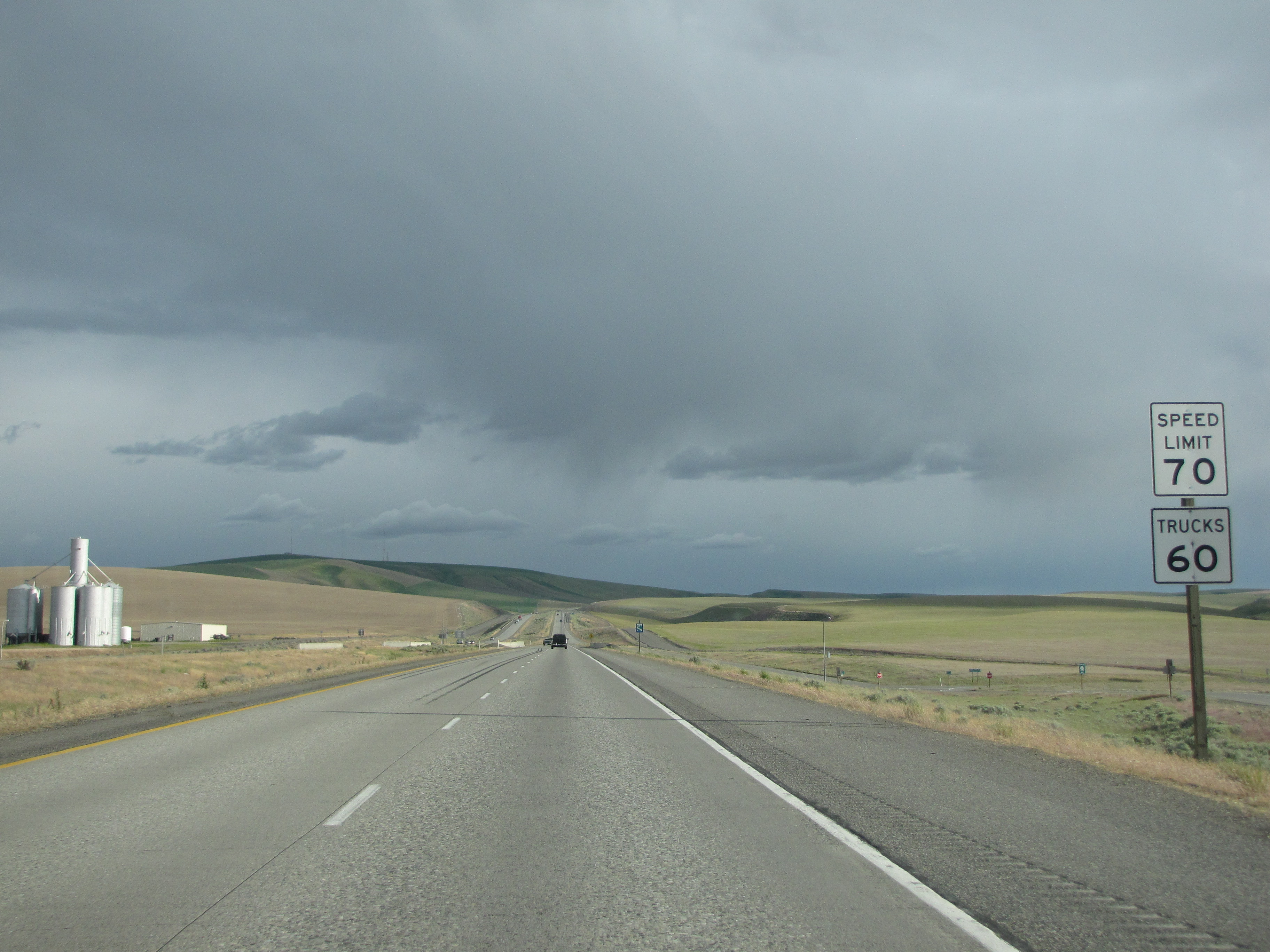
Back up to zooming speeds again. I must admit, though, that I prefer the slower speeds of the other highways. That said, we were getting anxious to be home again, so 70 mph was okay here.
There were lots of wind turbines along the way. Lots of wind blows into this area.

Two Oregon towns on the sign!

This area is so wide open, and very beautiful in its own way. I admire the ranchers and farmers who live out in places like this, providing the rest of us with the fruits of their labors.
However, I’m also aware that this area used to be occupied by the Yakima and Sahaptin, Wasco and Wishram Native American tribes. This website has some really good links where we can learn about these tribes (and others). And grateful as I am to the food that’s produced in this area, I also get my hackles up when I think of all the displaced people who originally lived here. But that, too, is a story for another day.


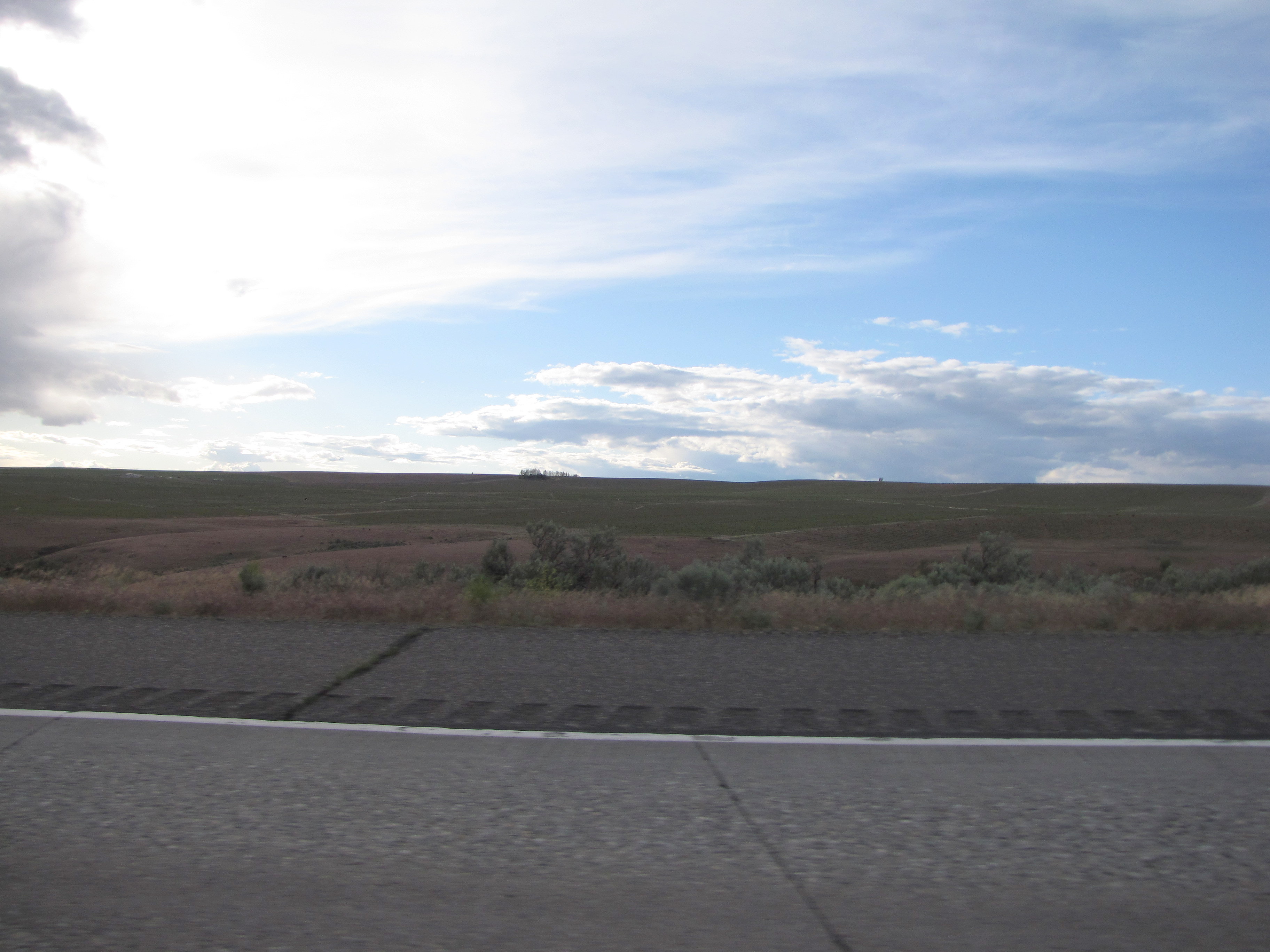
The skies had been fairly dark, but look what showed up looking east!

We loved seeing it because it was so unexpected.


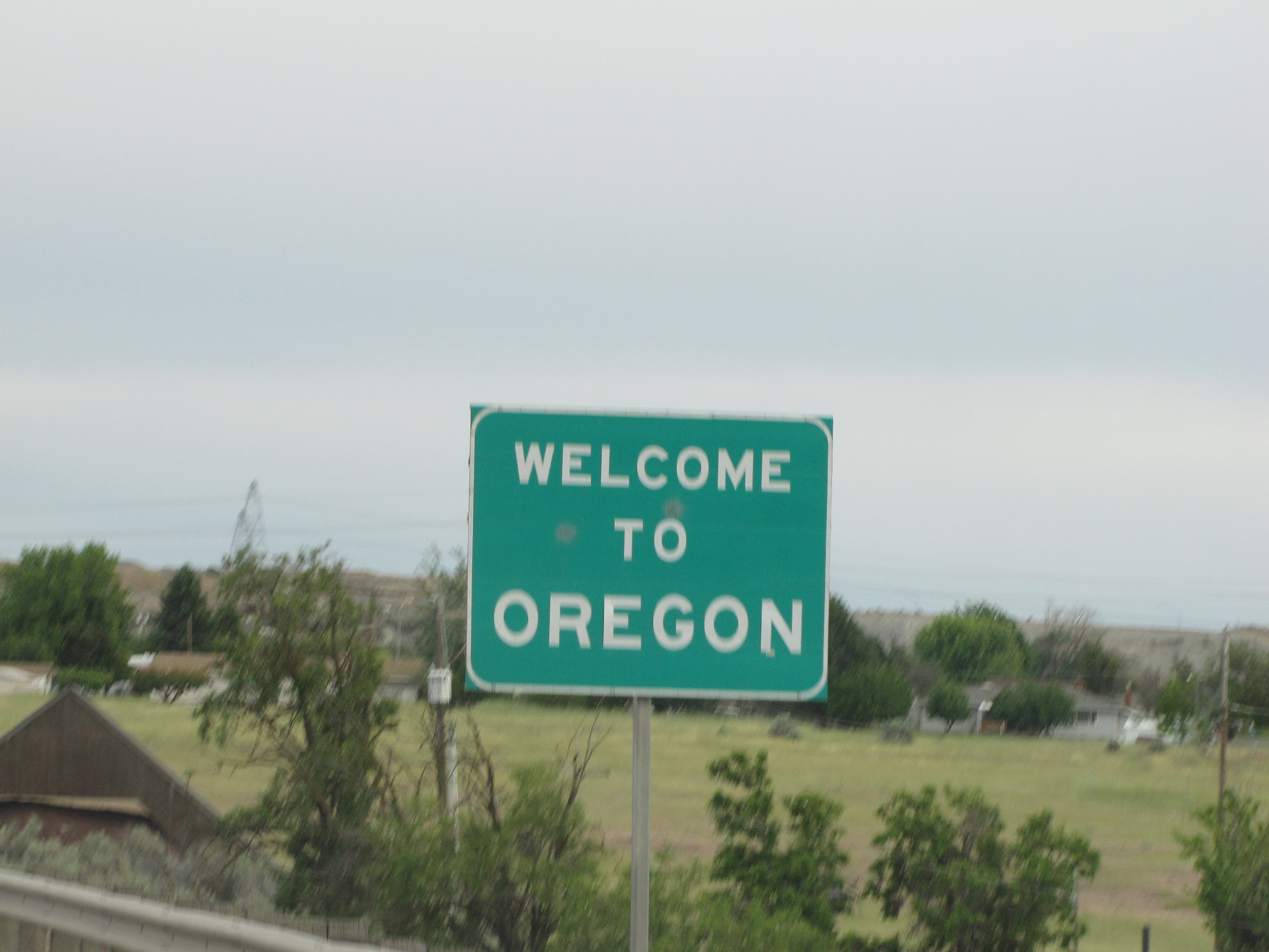
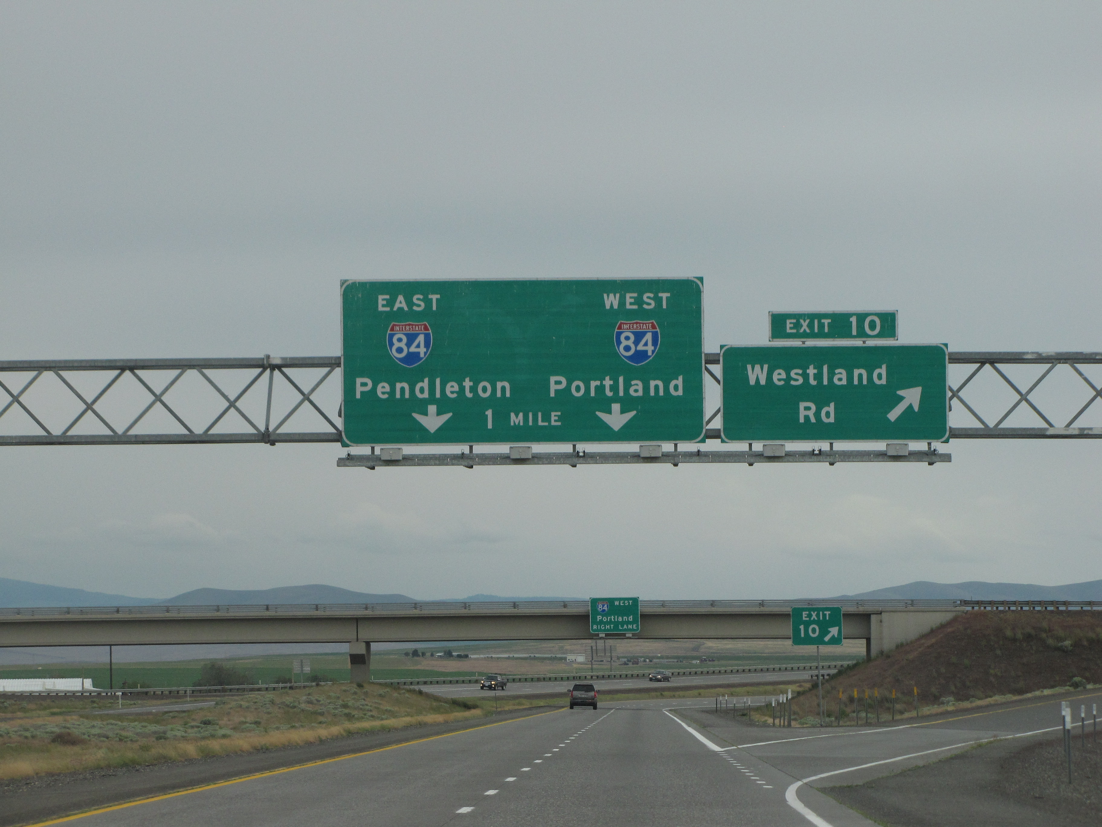
Three Oregon towns now!

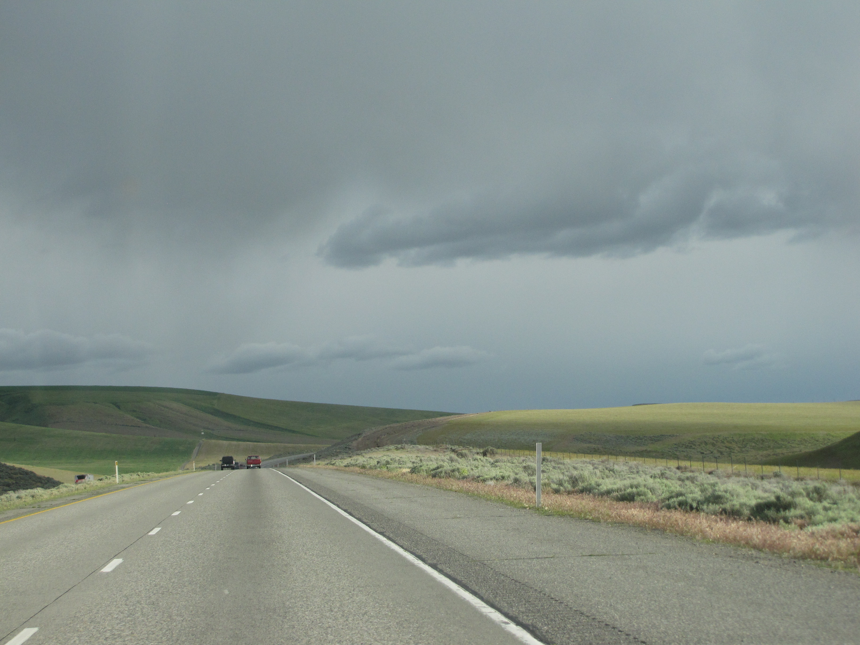
Rumble strips and interesting clouds.
If we’d wanted to, we could’ve taken State Route 14 to get back to the Portland Metro area, but it’s a lot slower and we were getting tired, so kept going south to I-84.

Very blurry sign that says “Cascade Locks” and “McNary Dam”.

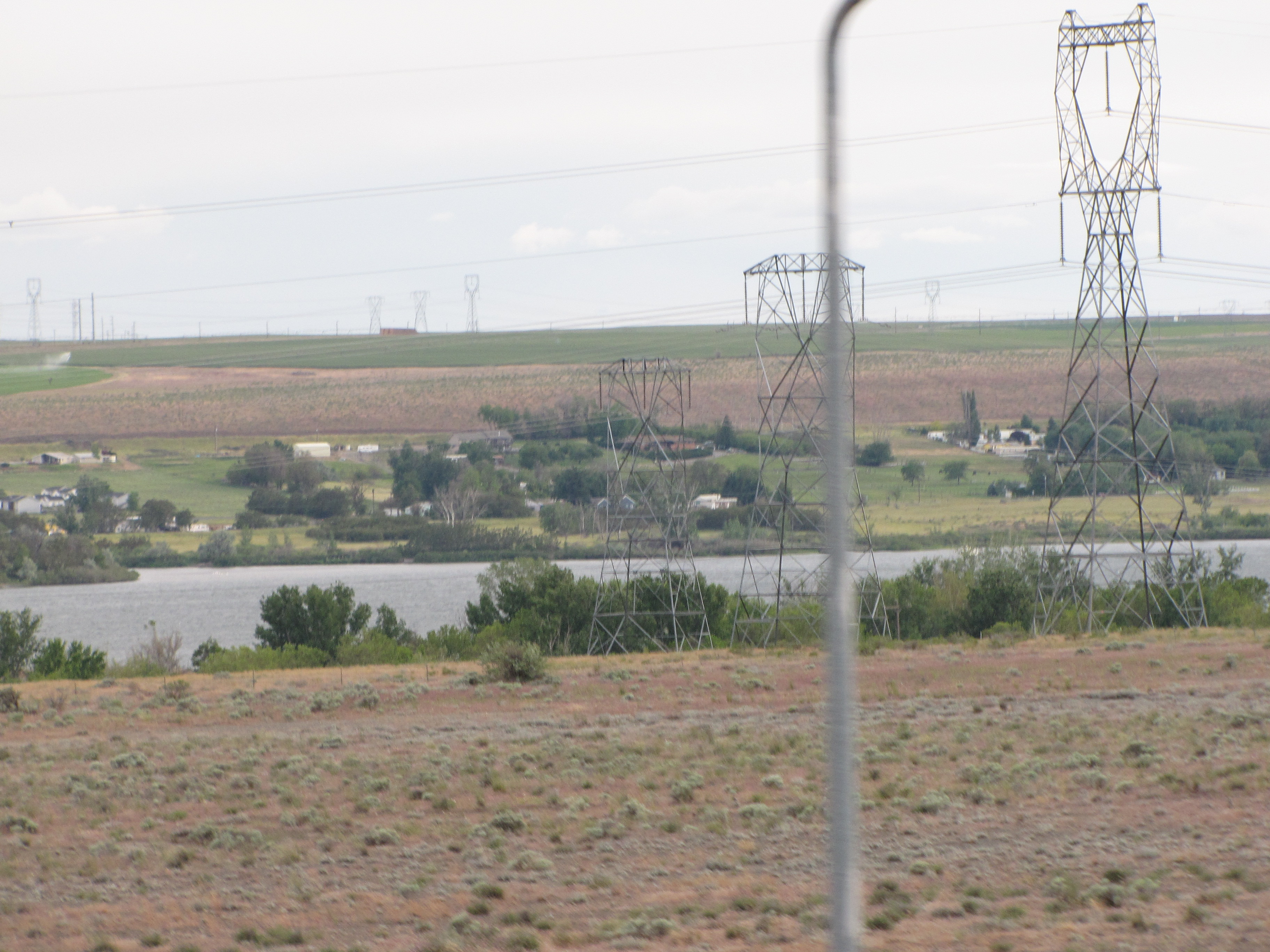
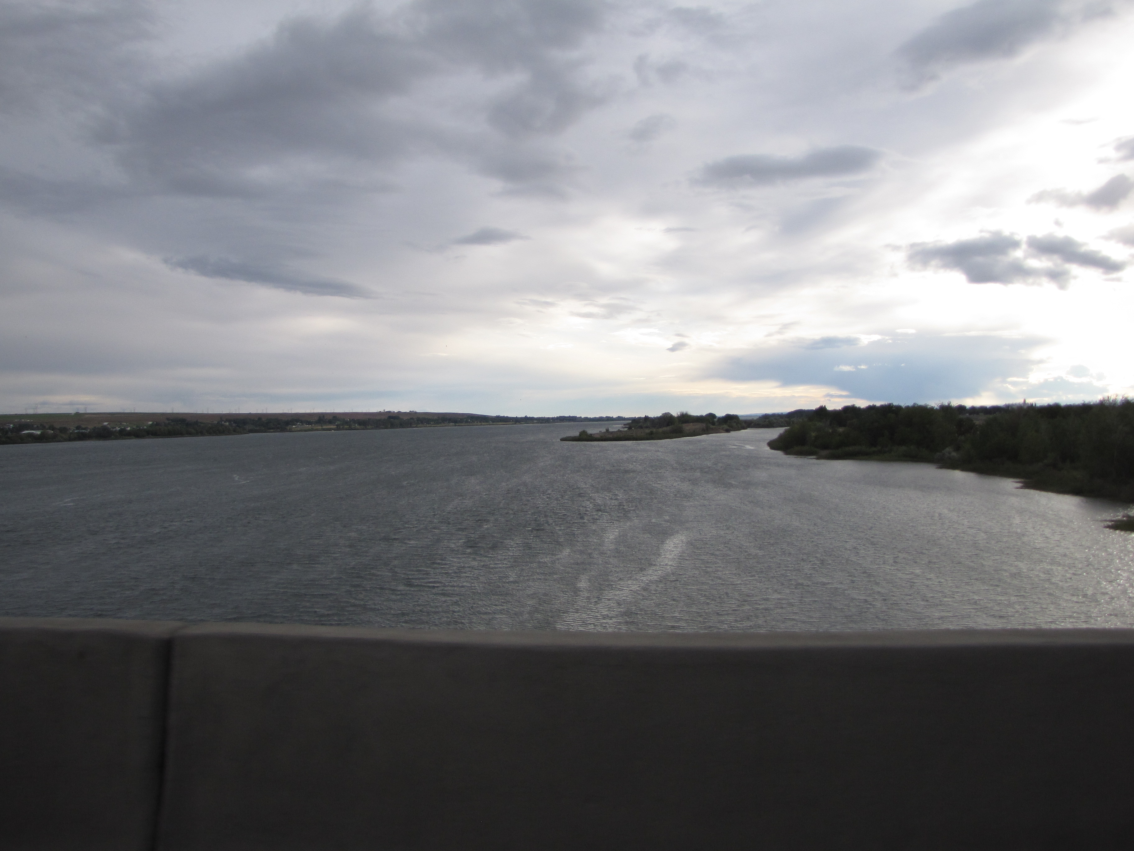
And there’s the Columbia River again.
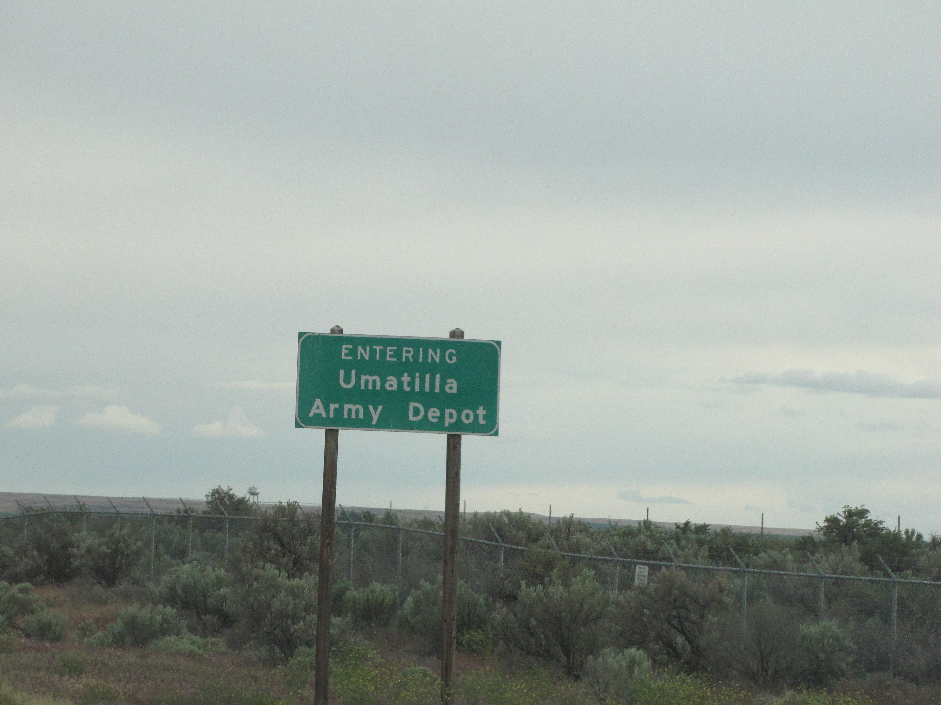
We are just about to cross it, too. Umatilla (named for the Native American tribe) will be the first Oregon town we come to.


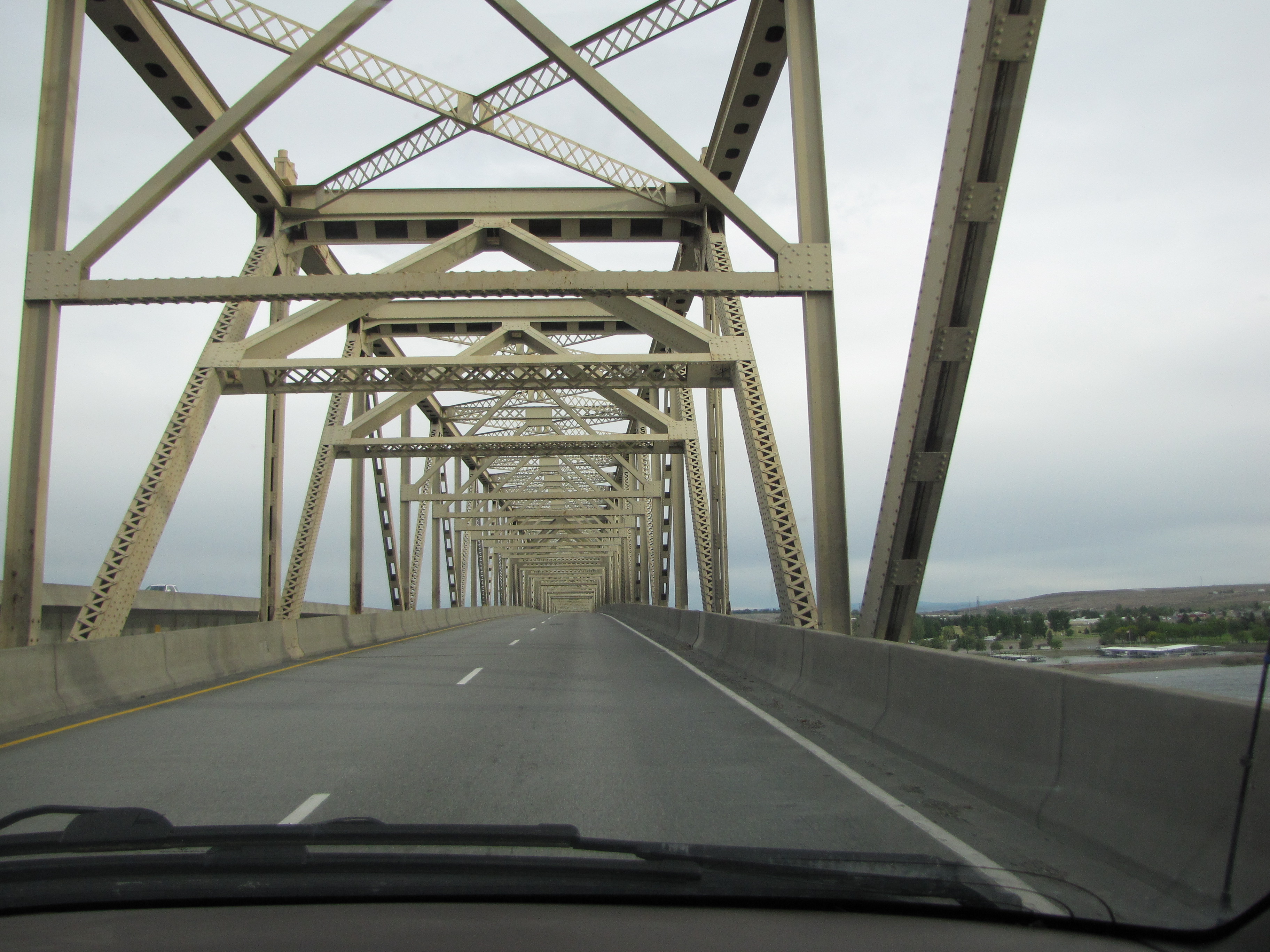
Here we go, crossing from Washington into Oregon. I love that tiny bit of light makai.

We’ve crossed a bunch of bridges on this trip. This will be our last one.
Chee hoo!!
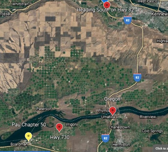
And here’s how far we’ve come heading south. Now we’re gonna be going makai, towards the sea.

And away we go! We’re on Highway 730 heading southwest.

Crossing the Umatilla River. This is a small kine river that runs north and south. The Irrigon Wildlife Area is nearby, and someday I’d like to take a look at it.

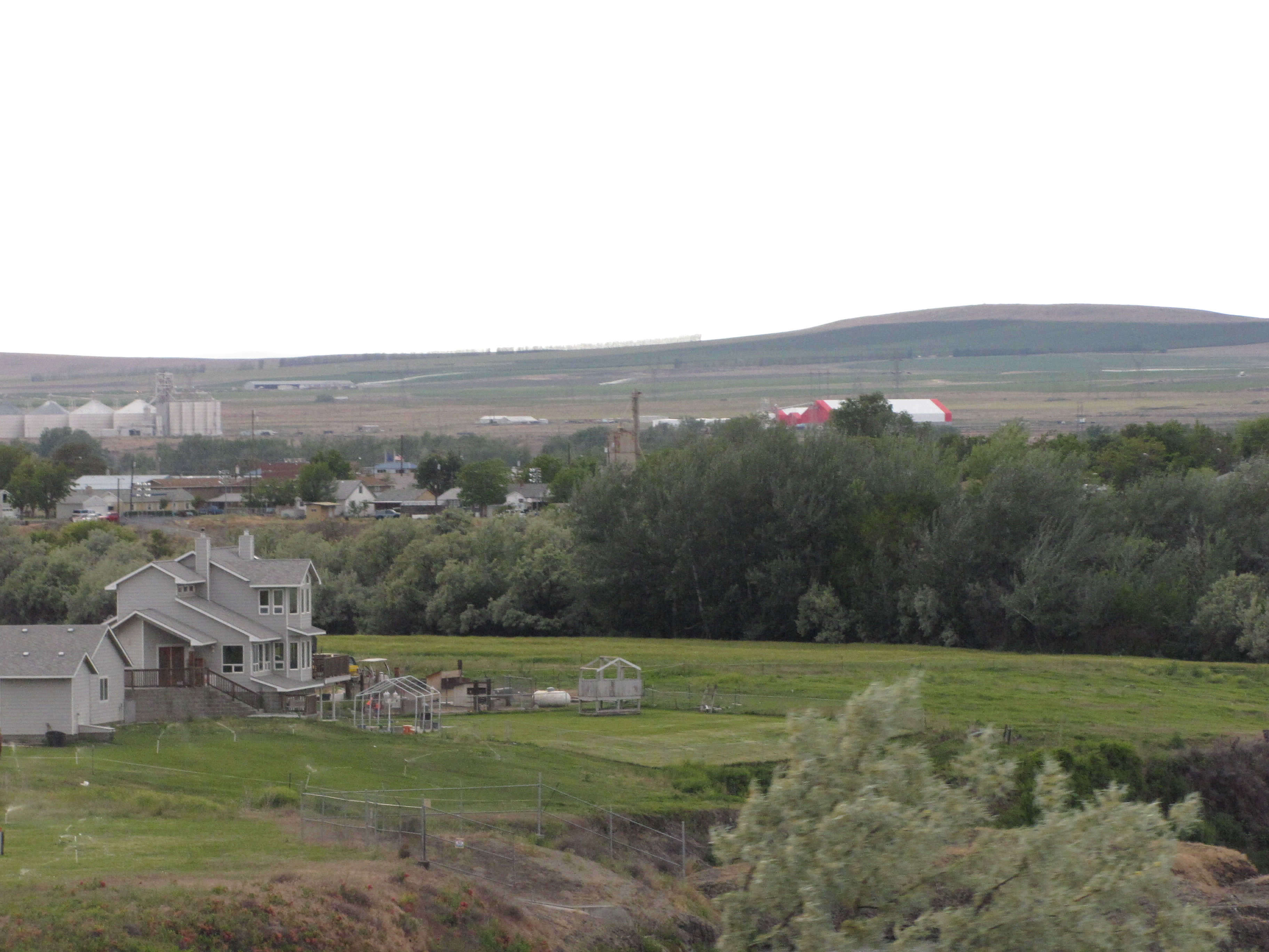
This looks like a pretty nice spread.
We’re getting closer to our final highway. By this time we were really getting tired. Why does driving make you tired on a long road trip, anyway? All we’re doing is sitting there. Although.. I had to concentrate on driving, Nolemana on taking photos, and we’d gotten a fairly early start, too. And it was a long drive.

Not much to say about this, but here we are.
Almost to the last leg before home.
To The Dalles and Hood River it is!

Makai at last!

And so ends Chapter 50a. Here’s how far we’ve come on this part of the journey home.

Really interesting website on the indigenous dwellers!! Tanks
Isn’t it wonderful? I learned, an am learning, a whole bunch of stuff that I didn’t know before.
Wow, dat was a long drive. But there’s no place like home. Mahaloz fo’ lettin’ us ride shotgun!
Yeah, was, and still not home! One more chapter to go. I love having you ride shotgun!