
Southeastern Idaho. About as different from Montana as you can get. The land is pretty flat and quite desert-y. There are a lot of craggy rocks and sagebrush and not a whole lot else. It looks pretty barren. But the sky is big, blue, and seemingly endless, uncluttered by tall buildings that block the view.

It was now 1:15 p.m. All the time stamps on our cameras were wrong, and I’ve had to go back and try to figure out what the real time was. We had four cameras: My wonderful Canon Powershot SX10IS, Norm’s big Olympus was an hour behind, Moki’s small camera was two hours behind, Norm’s small Panasonic was an hour behind, and some other nameless camera that I didn’t even know we had was an hour behind. I only figured that out by painstakingly figuring out what time we left or arrived somewhere.
Note to self: Get on da stick befoa u go take one road trip, u lolo. And change da time when u cross into anodda time zone! Sheesh.

These are the kind of craggy rocks that we ran into everywhere. Not literally! Why do people say that, anyway? Idiom? Colloquialism? Dunno. Lemme try pidgin. Eh, we wen see dese kine rocks all ova da place!

I got a lot of sky in this photo. That’s because Nolemana was on the phone and I had slowed down to try take the photo out his window really quick. But see what I mean by these kind of rocks and cliffs everywhere?

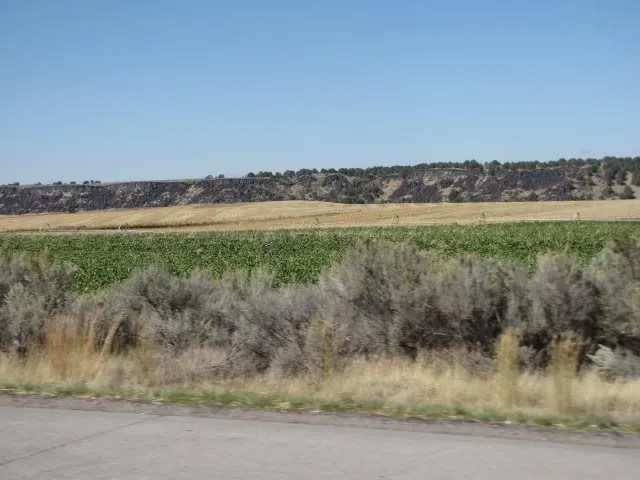
Ahhhh…. a curve in the road to break up the boredom of just straight, flat road.

Massacre Rocks State Park. Sounds kinda violent, doesn’t it? I pictured blood all over everywhere (long dried, of course) and wondered who had massacred whom. I wish we’d had time to stop and look around, but our friends were expecting us so we had to keep moving. But when we got home I read up about the park here. If you click on the site, be sure to check out the awesome photos.

At 1:17, we got a really good view of the Snake River, which is a pretty amazing river.

When you see how dry and desolate this land is, you can’t help but think what a blessing this river is to all the farmers and ranchers who live along its banks and who depend on it for water. This is a really good article about it.

It was just shy of 1:30 p.m. and the road stretched out before us as we headed makai, toward the sea. Which of course was a really, really long ways away!

If I remember right, this is a field of sugar beets. They grow a lot of them here in Idaho.
Suddenly we came across this old barn but it happened so fast that Nolemana was only able to get a small corner of it. As usual, I wondered whose it was and what were the lives like of the people who lived near here, close to the river.

River and mesa. And no buildings around for miles and miles. The freeway was practically empty, and even though I’m a pretty green kind of girl, I did enjoy the wide open spaces. Even in the desert.

It was kinda cool following the Snake as we drove, and easy to see why it got its name.

I also couldn’t help but wonder what this river was like before it was dammed. I read an article from back in 2000 where the EPA stated that all the dams have puka (holes) punched in them in order to protect salmon. Now I have to go read more to see if this was ever done.

The river surely didn’t look as tame as it does now back when Native Americans were the only ones living here and salmon were plentiful. I really want to do some reading about life back then. Cuz niele au. I’m a very curious person.

Coldwater Area…sure is hard to find out information about this area and why there’s a big sign for it. Even Wikipedia nomo. More searching for Moki! I can tell you it’s about seven miles makai of Massacre Rocks though!

Looking out towards the Snake River in the Coldwater Area.

We slowed down by the rumble strips to get these shots of the river.


I’m pretty sure this was alfalfa… I don’t know of anything that has that color green out here in daboonies. Almost time to get it harvested, too! Remember, we’re still in the high desert, and snows can come early.

Okay, any guesses as to the purpose of this water? Fish hatchery? Dunno.

Such big sky. I felt so small in its wide expanse. I love big sky. I love views. I like letting my eyes stretch into infinity. It’s what I love about Montana with added mountain jewels all around. Here in Idaho, it’s not the same. But it has its own beauty.

Now this I know: a truck carrying sugar beets. When we lived in Idaho we saw them all the time during October. It’s now about 1:30 p.m.

By 1:45, we were almost to Cotterel, Idaho. Neighboring towns include Burley, Rupert, Minidoka, Heyburn, and Declo, names that took me back to when we used to live near here. I knew we were getting close to our friends!

Just before 2:00 p.m., we crossed this creek.

And at 1:55 p.m., we crossed the Snake River between Burley and Heyburn.


We can go fast in Idaho, too! This was our speed through most of this part of the trip. It’s funny how I could be driving at 80 mph when I’m so used to much slower speeds here in Oregon. But I got used to it pretty quick. Heh heh.

We’re now about 25 miles from Twin Falls and were getting really excited. We haven’t seen our friends for ukubillion years, and the thought of seeing them again after so long gave me wai maka and much anticipation.

So here’s today’s map, which takes in all the way from Idaho Falls to about 25 miles before Twin Falls. Where we used to live. More about that next time. (Assamatta da map! It shows okay on my screen but won’t embed properly. Gonna keep trying.)
Mahalo for travelling along with us!
I now officially hate GoogleMaps! It destroyed my whole other map I wen make alla way from home to here! Now all I have is Blackfoot to Heyburn. Gonna go cry.
K’den. Gonna try this.
For some reason it won’t let me embed from Blackfoot to Heyburn. But at least I got this part back.
Here’s anodda map to show da rest of da way.

Wow, a lot of southern Idaho seems to be a whole buncha flat. But you’re right, it’s beautiful. The texture of that barn is beautiful.
Boy o boy! What a contrast from where you were huh? Where did the beautiful mountains go? America is so diverse and there is just so much to see and explore. I love its vastness, that’s for sure.
The rocky cliffs were very interesting. Would be interesting to find out what caused that to happen. I recently crossed the Nevada, part of the Arizona, and Utah deserts and was able to see the different rock formations and it had me wondering how it all formed and what it all meant. Geology is fascinating! On that trip I learned how the canyons and mountains of Zion National Park was formed. Sooooo interesting that stuff. I took a TON of pictures! And of course, I thought of you! 😉
Beautiful. Makes me wish we had the money & time to see the whole state.