
Before I start posting more photos, I want to tell you folks who are riding along with Nolemana, Kukui, Musubi, and me how much it means to me that you take time to read this humble little blog of mine. I don’t always know who you are, but I so appreciate all of you. When I first started this blog I had absolutely no knowledge of how to do one. I didn’t know how to upload photos, I felt kind of silly for even thinking that anyone besides me would read it. So mahalo nui loa, thank you very much, whoever you are, known and unknown, for tagging along on this amazing trip of a lifetime! Please feel free to share your comments; I love reading them.
Continuing on our journey, we find ourselves truly in Big Sky country. We have big sky areas in Oregon too, but nothing this vast, going on for mile after mile. This is just about at the Kalispell junction. Someday I would like to take that road and head up North.
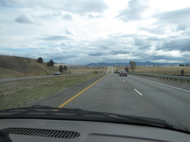
A little bit nearer to Kalispell Junction.
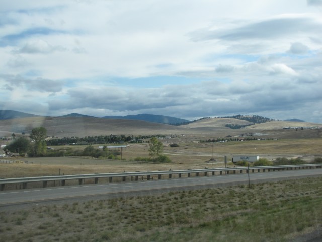
Before we knew it, we were on the outskirts of Missoula! I’d only heard of Missoula, but a year ago would never have dreamed we’d really be here.

We were flying by the town; I would’ve loved to explore it, but I was really anxious to get to my auntie’s place, and we had another stop before that.
Another brief shot of Missoula.

And another.

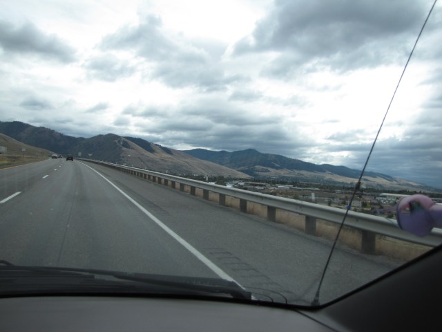
Exit ramp for the University of Montana and the Veterans Memorial.

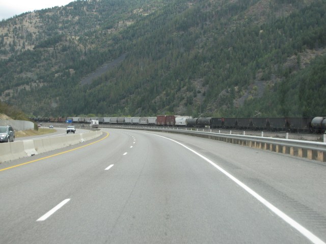
A train! I guess I must get my love for trains from my dad, who used to work for Kahului Railroad on Maui.
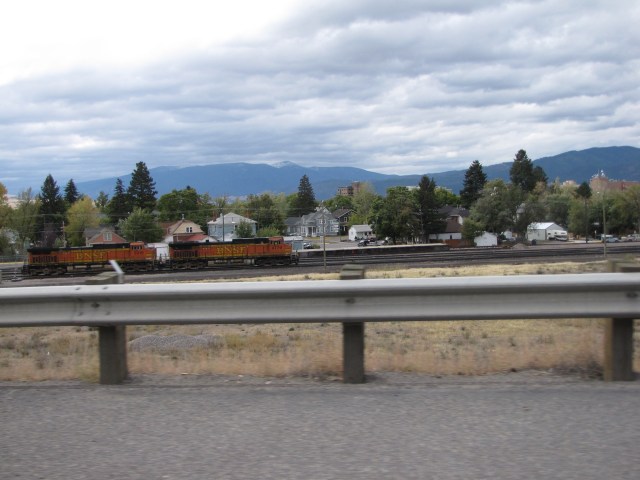
This was a really long train; we were now in East Missoula.

A really long train!
The East Missoula exit.

When I went to this website after we got back home again, I realized, as might be expected, that there was a whole lot more to this town than we could see from whizzing by on the freeway.
We finally saw the beginning of the train as we headed out of town.

We got a kick out of the name of this RV. Liked it.

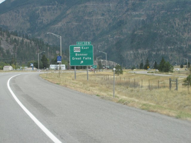
Shortly after leaving Missoula, we came to the Bonner/Great Falls turn-off. Someday we’re gonna take it.
Another train! This time on the opposite side of the freeway. I was in train heaven!

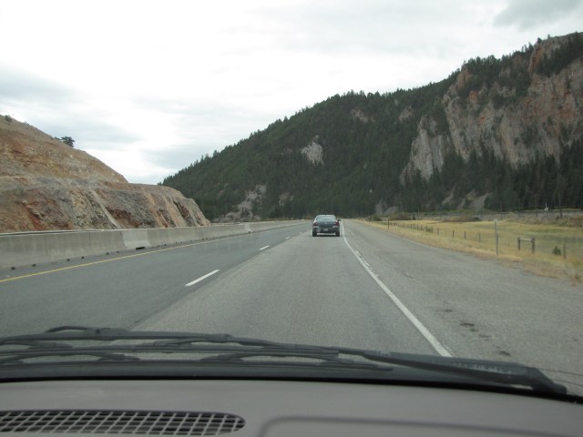
I think that I have labeled the next two photos correctly. Poor Nolemana was having a hard time keeping up with writing everything down! I’m pretty sure these are the Sapphire Mountains near the town of Turah.
They were just beautiful. I’m trying to figure out exactly where we were using GoogleEarth, Google StreetMaps, and Nolemana’s notes.

For sure, this is the exit for Beavertail Hill State Park! Heh heh.

Wonderful old barn and hay fields near the Granite County line.

Now what would’ve made this a perfect shot woulda been if a train engine had been coming through it just as we went by!

Here’s an aerial view of the tunnel. Try look! There’s even a train going through. Obviously not when we were though. Bummer!

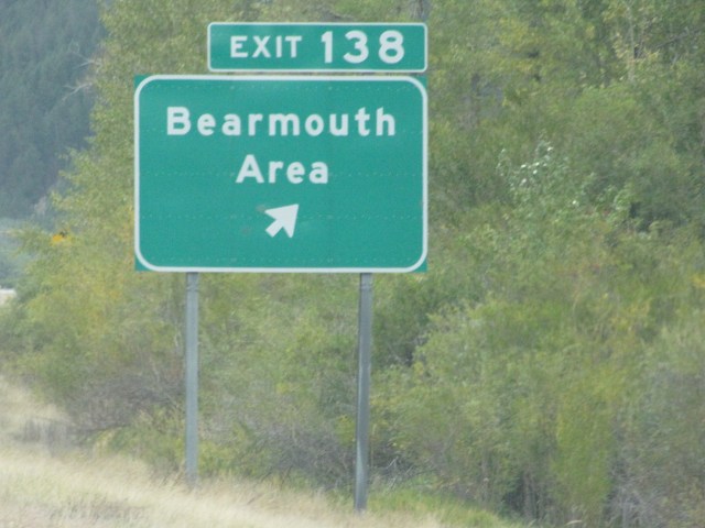
This is just makai of Bearmouth.

And here we are! This is another road I would’ve liked to follow.
Round hay bales in the Bearmouth area.

The temperature was really starting to drop. It had been in the 50’s, but now look at it.

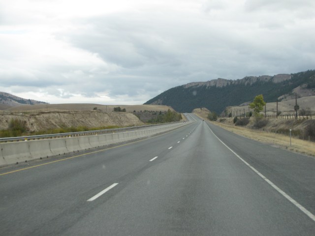
We were now east of Bearmouth and it was still a really pretty day.

We stopped at the Bearmouth Historical Marker. I really do love reading these things and finding out more about the history of our country. This marker also gives a lot of history of the Clark Fork River. I hope you folks can read it. (I just checked. You should be able to.)

We saw this neat place; if my calculations are right it’s called Elephant Rock. This is east of Bearmouth.
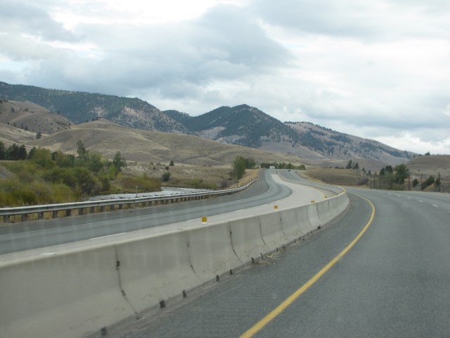
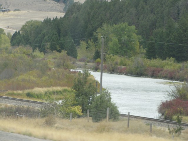
Here we just crossed the Clark Fork River yet again, and really enjoyed the gently curving roads and the big sky. This is near Bradman, Montana. Yes, we’re still in Montana. You just don’t realize how huge the state is till you drive through it.
We could see a wonderful canyon ahead, just east of Bradman, with wonderful rock formations. When you’re going 75 mph it comes up pretty quick!
I know Kikue will enjoy this shot. Nolemana zoomed in close to get it.

We’re just approaching the canyon. I don’t know what it’s named but will try to find out.
Absolutely amazing. We were in awe of this place.
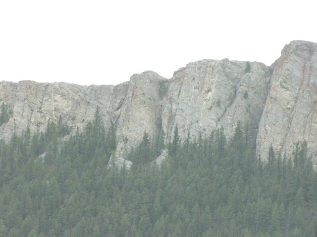
Kikue, try look! Isn’t it wonderful? As always, I wondered about the first people to have seen this place, how they lived, and what they were like.

This is the Clark Fork River just makai of Drummond.
Now here is a drive I definitely want to take someday. Driving through this beautiful country I felt like I was at a visual Thanksgiving feast!
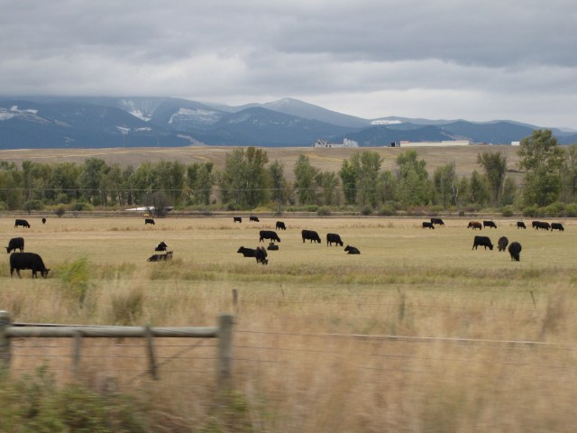
And AFK: Notice nā pīpī!
And even more pīpī! Notice the snow on the mountains, too.
Here’s the map of where we were this time:

AFK: Next time going have one big pīpī surprise! Totally unexpected and awesome.

Mahalo fo’ da trip through America. Been in Europe so long I seen most of it but not enough of America. Wit yowah pics i git fo’ see it from yowah eyes. Again, mahalo Moki.
I heard today that there might be snow in all 50 states on the same day!!
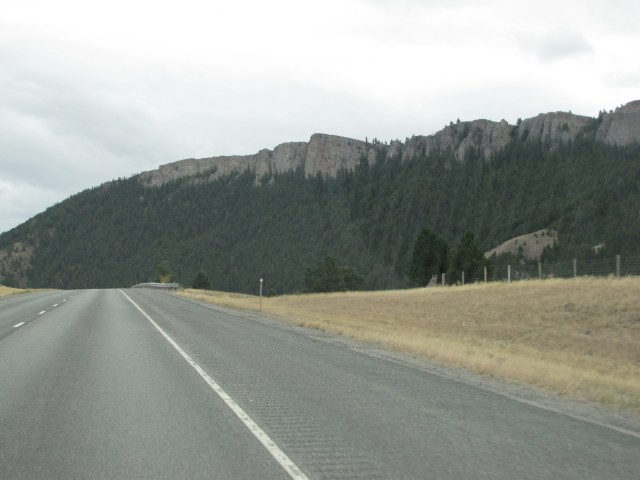
But I love those rock outcroppings.
Hey, did you see at that Missoula website the old photos? Wow! I enjoyed them and imagining how used to be way back when. Oh and my gosh! the Canyon side, that is so, so awesome!!! I was amazed to see how the trees seem to climb up the face of that canyon wall… like a wave of trees washing against the side. Tree tide. I’m so amazed with that.
Mahalo nui loa for allowing me to hitch a ride. I am really getting a lot out of this trip. I honestly want to go now. Montana is truly the big sky country.
I too loved the pitchas of da rock formations – they’re so beautiful and think of how long it took for them to get shaped in that way.
And, of course, I loooooooooooove the pipi pix! If I were physically riding with you, I would have rolled down the window and mooooooooed at them!